Harrison County is a county on the eastern border of the U.S. state of Texas. As of the 2020 United States census, its population was 68,839. The county seat is Marshall. The county was created in 1839 and organized in 1842. It is named for Jonas Harrison, a lawyer and Texas revolutionary.
Developed for cotton plantations by planters from the South, this county had the highest number of enslaved African Americans in Texas before the Civil War. They comprised 59% of the population. From 1870 to 1930, Blacks made up 60% of the county’s population. In the post-Reconstruction era, whites used lynchings to assert their dominance, in addition to the state’s disenfranchisement of blacks.
From 1940 to 1970, in the second wave of the Great Migration, many blacks moved to the West Coast to escape Jim Crow and for work in the expanding defense industry. More whites have moved in since the late 20th century as the county’s economy has developed beyond the rural, and now comprise the majority.
Harrison County comprises the Marshall micropolitan statistical area, which is also included in the Longview-Marshall combined statistical area. It is located in the Ark-La-Tex region.
| Name: | Harrison County |
|---|---|
| FIPS code: | 48-203 |
| State: | Texas |
| Founded: | 1842 |
| Named for: | Jonas Harrison |
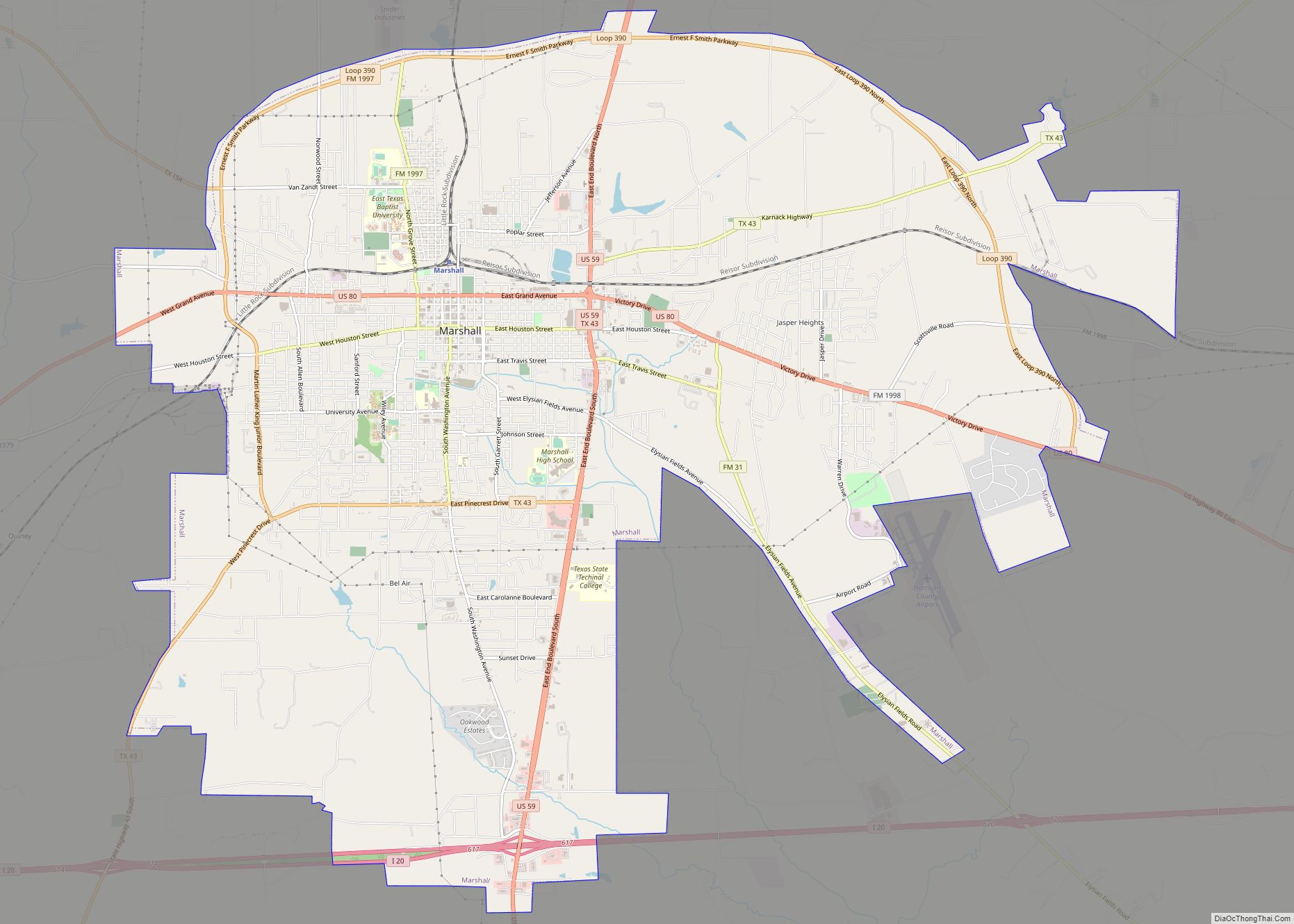
| Seat: | Marshall |
| Largest city: | Marshall |
| Total Area: | 916 sq mi (2,370 km²) |
| Land Area: | 900 sq mi (2,000 km²) |
| Total Population: | 68,839 |
| Population Density: | 75/sq mi (29/km²) |
| Time zone: | UTC−6 (Central) |
| Summer Time Zone (DST): | UTC−5 (CDT) |
| Website: | harrisoncountytexas.org |
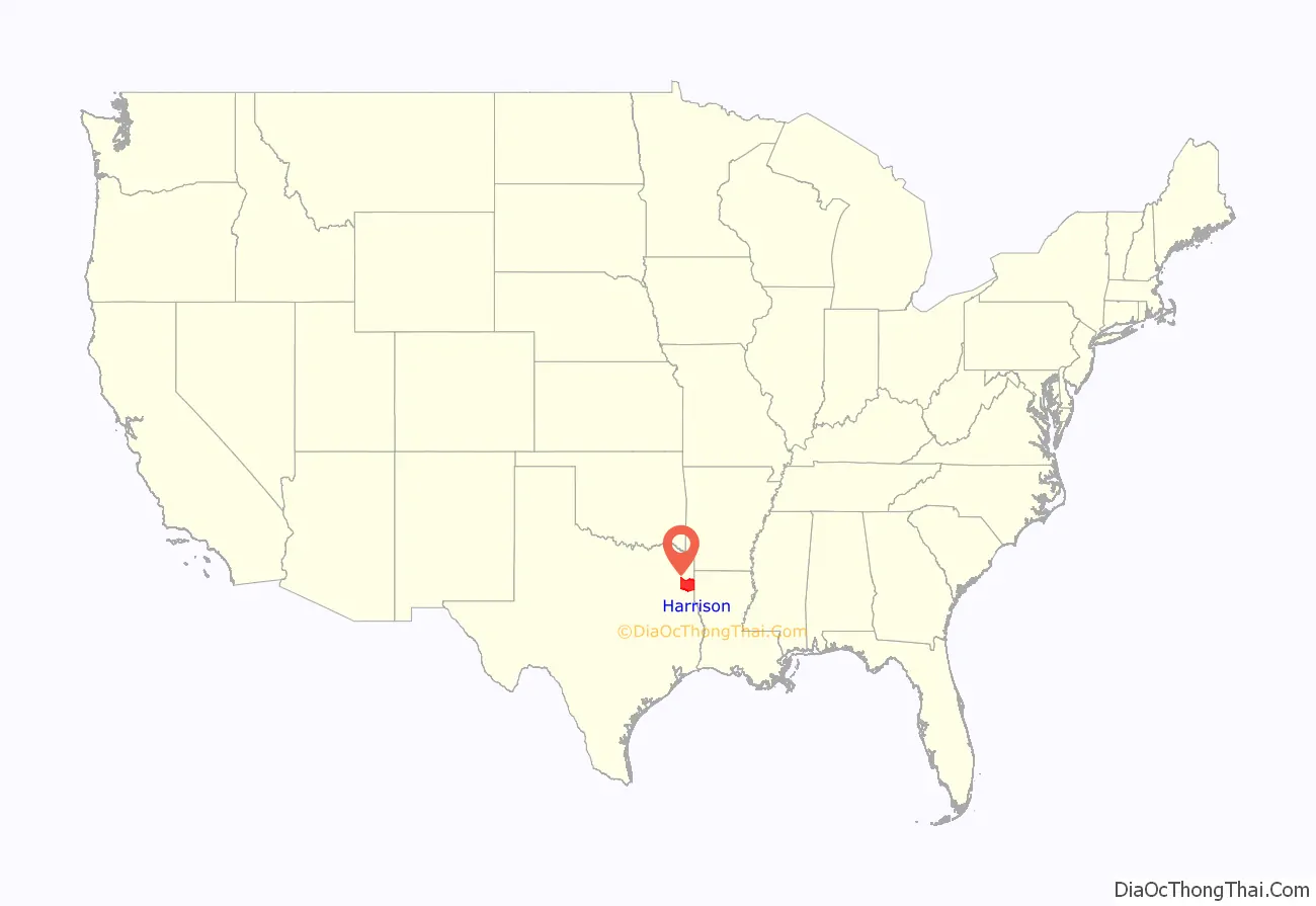
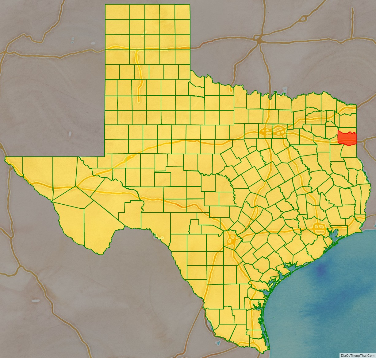
Harrison County location map. Where is Harrison County?
History
Early history
Settlement by immigrants from the United States (US) began during the 1830s in the territory of present-day Harrison County. In 1835, the Mexican authorities granted a dozen land grants to U.S. immigrants. After the Texas Revolution, the Congress of the Texas Republic established Harrison County in 1839, formed from Shelby County. Harrison County was named for Texas revolutionary Jonas Harrison. The county was organized in 1842.
The county’s area was reduced in 1846, as territory was taken to establish Panola and Upshur counties. Marshall was founded in 1841, and was designated as the county seat in 1842.
The area was settled predominately by planters from the Southern United States, who developed this area for cotton plantations and brought enslaved African Americans with them for labor, or purchased them at regional markets. The planters repeated much of their culture and society here. East Texas was the location of most of the cotton plantations in the state and, correspondingly, of most of the enslaved African Americans.
Most of the fourteen black-majority, plantation counties were located in East Texas. By 1850, landowners in Harrison County held more slaves than in any other county in Texas until the end of the Civil War. The census of 1860 counted 8,746 slaves in Harrison County, 59% of the county’s total population.
In 1861, the county’s voters (who were exclusively white males and mostly upper class) overwhelmingly supported secession from the United States.
Reconstruction era to present
Following defeat at the end of the American Civil War, the county was part of an area occupied by Federal troops under Reconstruction. The white minority in the county bitterly resented federal authority and the constitutional amendment granting the franchise to freedmen. A majority in the county, the freedmen elected a bi-racial county government dominated by Republican Party officeholders.
Republican dominance in local offices continued in the county until 1880, but the conservative whites of the Democratic Party regained control of the state government before the official end of Reconstruction. In 1880, the Citizen’s Party of Harrison County, amid charges of fraud and coercion, gained control of elected positions in the county government after winning on a technicality, which involved hiding a key ballot box. They retained such control of the county into the 1950s, aided by the state’s disenfranchisement of blacks at the turn of the century by a variety of laws, including those to permit white primaries. In addition, during the post-Reconstruction era, white terrorist violence was directed at blacks to assert white supremacy. According to records of the Equal Justice Initiative, Harrison County had the third-highest number of lynchings of any county in Texas, from 1877 to 1950.
In the 1870s the county’s non-agricultural sector increased when the Texas and Pacific Railway located its headquarters and shops in Marshall. It stimulated other industry and manufacturing in the county, and also aided the transportation to market of the important cotton commodity crop.
But from 1880 to 1930, Harrison County remained primarily agricultural and rural. It had a 60 percent black majority through 1930. During this period, most of the African Americans worked in agriculture as tenant farmers and sharecroppers.
Harrison County had a total of 14 lynchings. Most were committed in the early 20th century, particularly in the 1910s when the county suffered economic hard times. Whites “did not lynch in lieu of ineffective courts, but instead demonstrated to the black majority that legal protection and rights were inaccessible to blacks”. Blacks accused of violence against law enforcement or who were from outside the county were particularly at risk, but the terrorist lynchings put all blacks on notice that whites could take action against them essentially at will.
The Texas legislature disenfranchised most blacks in 1901 by requiring poll taxes and authorizing white primaries (after various iterations, the latter were overturned by a U.S. Supreme Court decision in 1944). This disenfranchisement extended into the late 1960s, until after national civil rights legislation was passed to enforce these citizens’ constitutional civil rights.
In 1928, oil was discovered in the county. Its exploitation and processing made a significant contribution to the economy.
The Great Depression of the 1930s hit the county hard, decimating the agricultural sector. Mobilization for World War II brought an end to the depression. As the defense industry built up in major cities and on the West Coast, from 1940 to 1970, a total of more than 4.5 million blacks migrated from the South, particularly Texas, Louisiana, and Mississippi, for work and to escape continuing suppression under Jim Crow laws. They moved to the West Coast in the second wave of the Great Migration, attracted to new jobs in the expanding defense industry.
The population of the county declined until 1980, when the trend reversed. White migration from other areas has resulted in a majority-white population. In the realignment of parties in the South since the late 20th century, white conservative voters in Texas have left the Democratic Party to become overwhelmingly affiliated with the Republican Party.
Harrison County Road Map
Geography
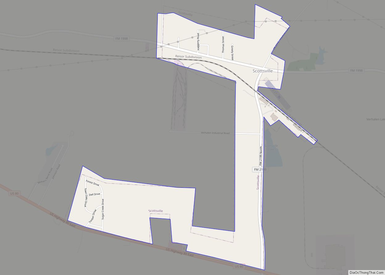
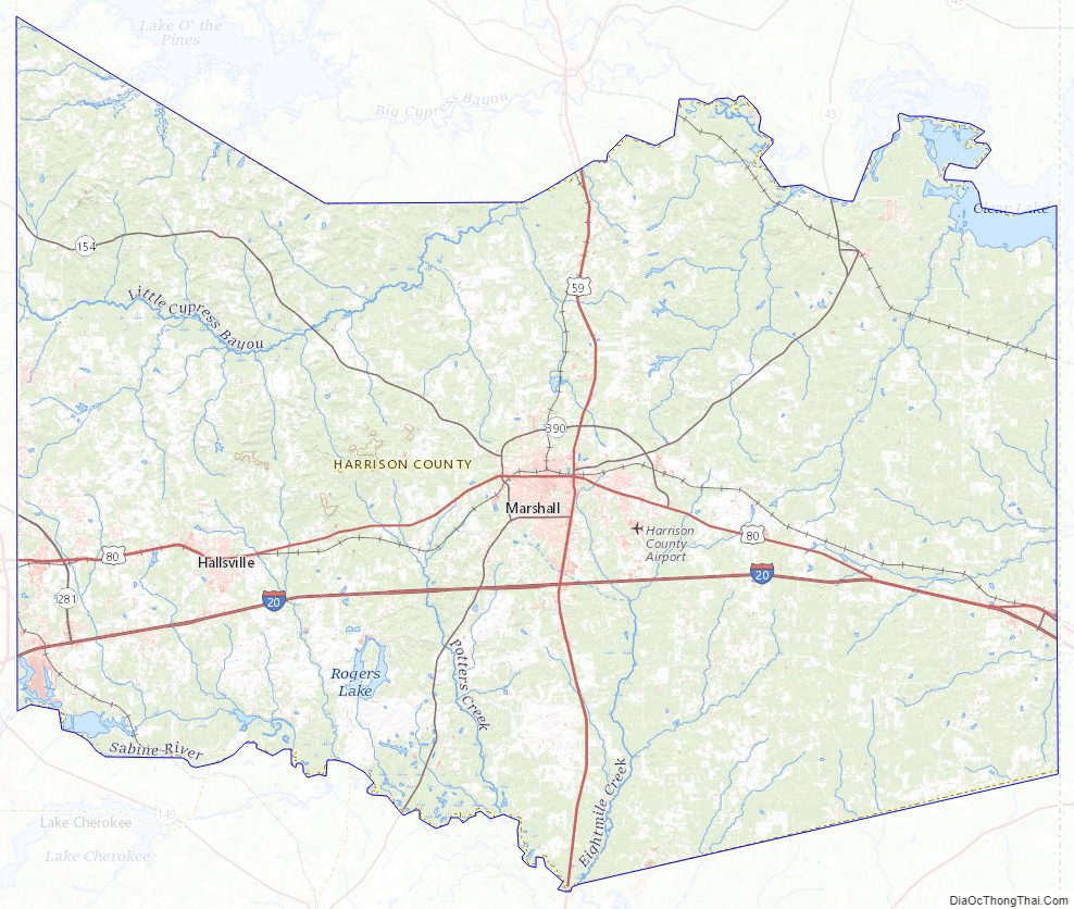
According to the U.S. Census Bureau, the county has a total area of 916 square miles (2,370 km), of which 900 square miles (2,300 km) is land and 16 square miles (41 km) (1.7%) is water. The northern and eastern parts of the county are drained to the Red River in Louisiana by Little Cypress Creek, Cypress Bayou, and Caddo Lake. The other third of the county is drained by the Sabine River, which forms a part of its southern boundary. These waterways were critical to early transportation in the county.
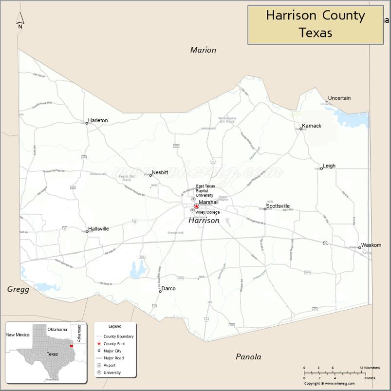
Adjacent counties
- Marion County (north)
- Caddo Parish, Louisiana (east)
- Panola County (south)
- Rusk County (southwest)
- Gregg County (west)
- Upshur County (northwest)
Major highways
- Interstate 20
- U.S. Highway 59
- Interstate 369 is currently under construction and will follow the current route of U.S. 59 in most places.
- U.S. Highway 80
- State Highway 43
- State Highway 49
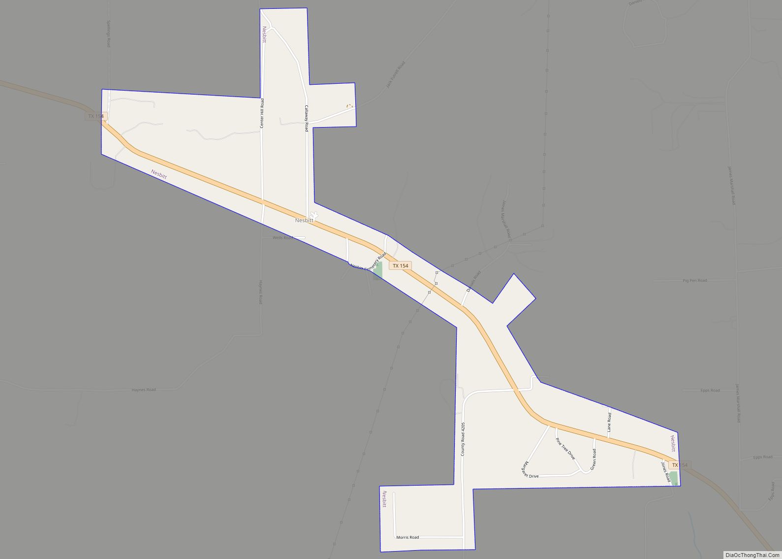
- State Highway 154
- Farm to Market Road 134
- Farm to Market Road 2208
The TTC-69 component (recommended preferred) of the once-planned Trans-Texas Corridor went through Harrison County.
National protected area
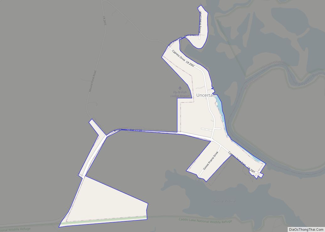
- Caddo Lake National Wildlife Refuge
Harrison County Topographic Map
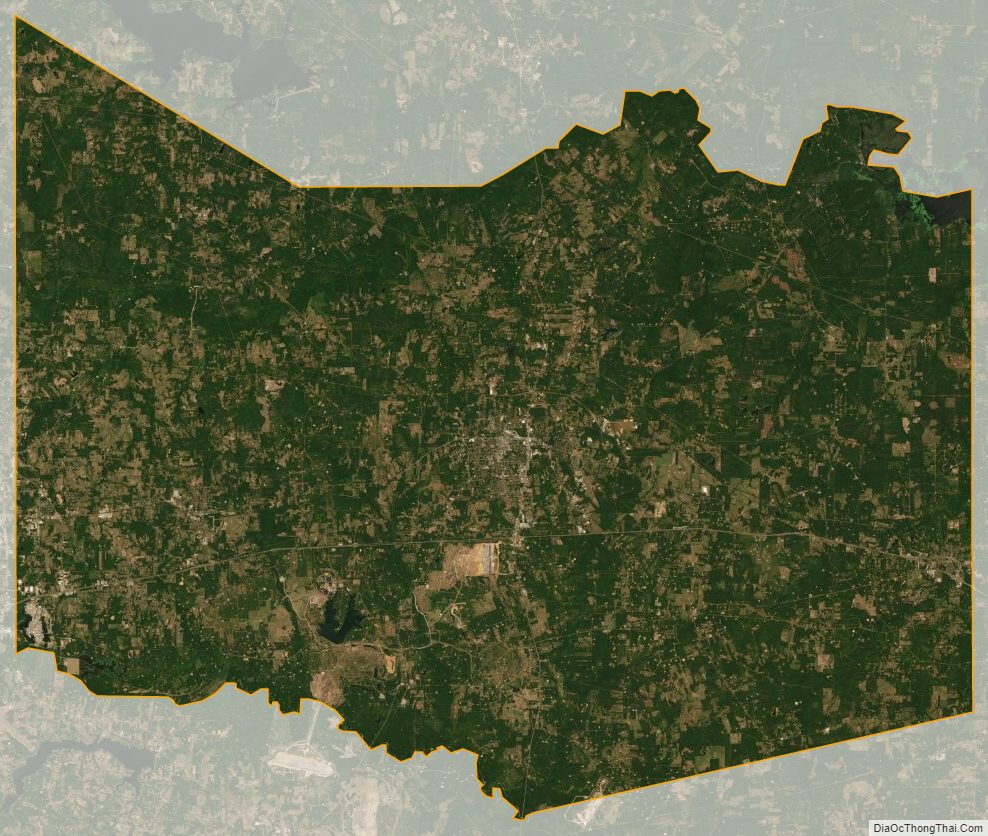
Harrison County Satellite Map
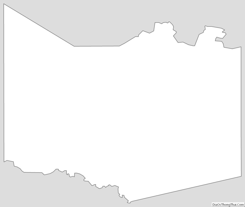
Harrison County Outline Map