Cushing (Meskwaki: Koshineki, Iowa-Oto: Amína P^óp^oye Chína, meaning: “Soft-seat town”) is a city in Payne County, Oklahoma, United States. The population was 7,826 at the time of the 2010 census, a decline of 6.5% since 8,371 in 2000. Cushing was established after the Land Run of 1891 by William “Billy Rae” Little. It was named for Marshall Cushing, private secretary to U.S. Postmaster General John Wanamaker.
A 1912 oil boom led to the city’s development as a refining center. Today, Cushing is a major trading hub for crude oil and a price settlement point for West Texas Intermediate on the New York Mercantile Exchange and is known as the “Pipeline Crossroads of the World.”
| Name: | Cushing city |
|---|---|
| LSAD Code: | 25 |
| LSAD Description: | city (suffix) |
| State: | Oklahoma |
| County: | Payne County |
| Elevation: | 935 ft (285 m) |
| Total Area: | 7.60 sq mi (19.69 km²) |
| Land Area: | 7.59 sq mi (19.67 km²) |
| Water Area: | 0.01 sq mi (0.02 km²) |
| Total Population: | 8,327 |
| Population Density: | 1,096.38/sq mi (423.32/km²) |
| ZIP code: | 74023 |
| Area code: | 539/918 |
| FIPS code: | 4018850 |
| GNISfeature ID: | 1091897 |
| Website: | www.cityofcushing.com |
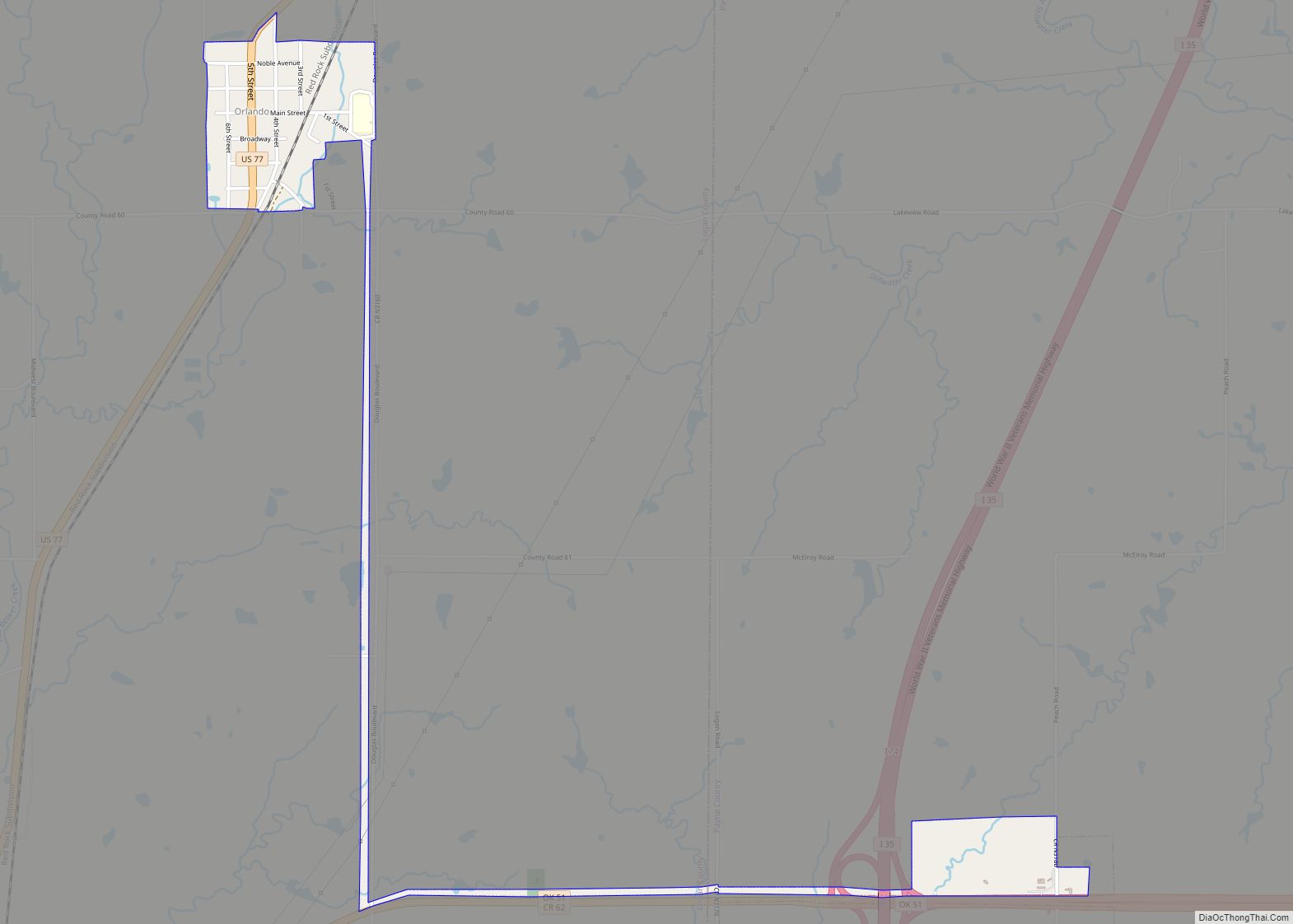
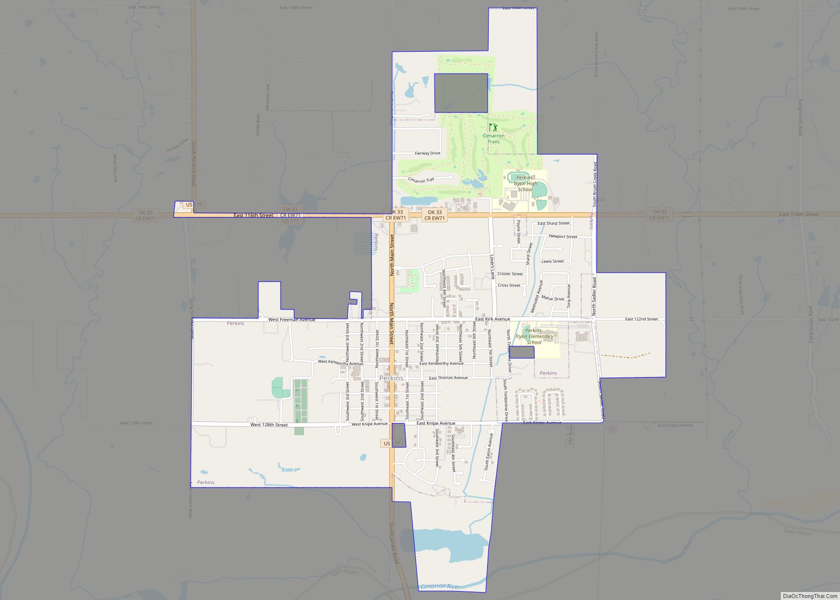
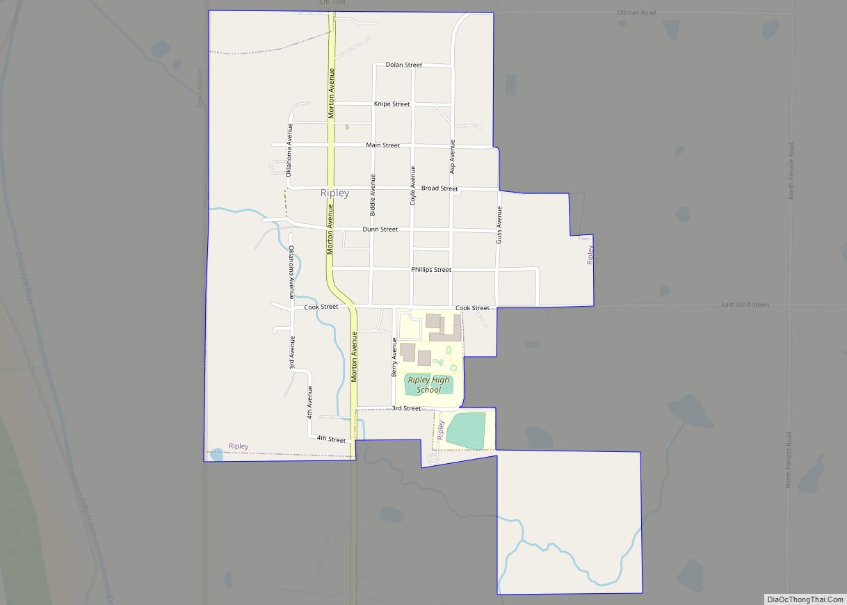
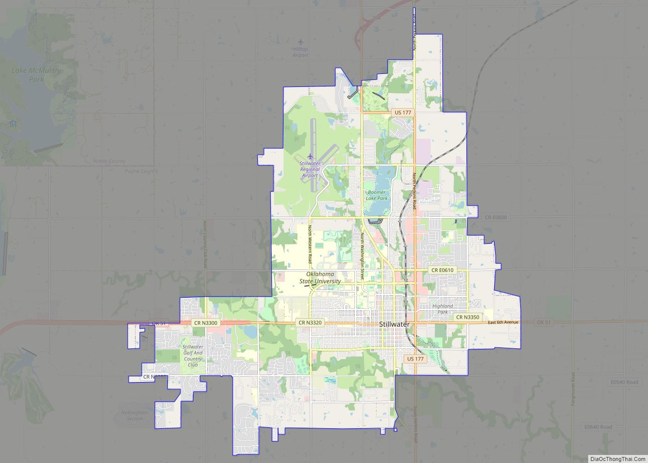
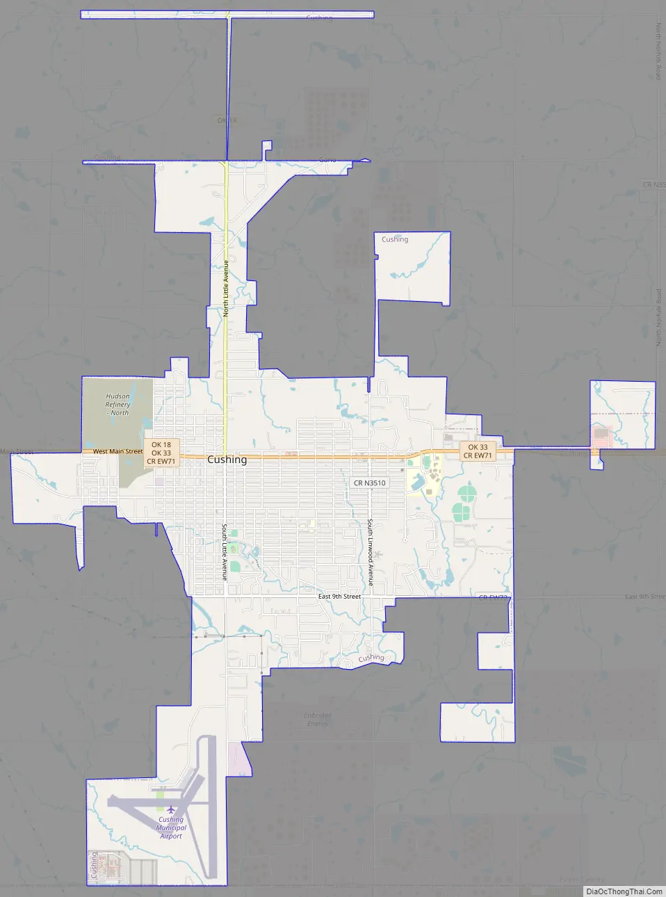
Online Interactive Map
Click on ![]() to view map in "full screen" mode.
to view map in "full screen" mode.
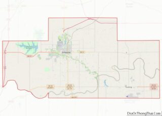
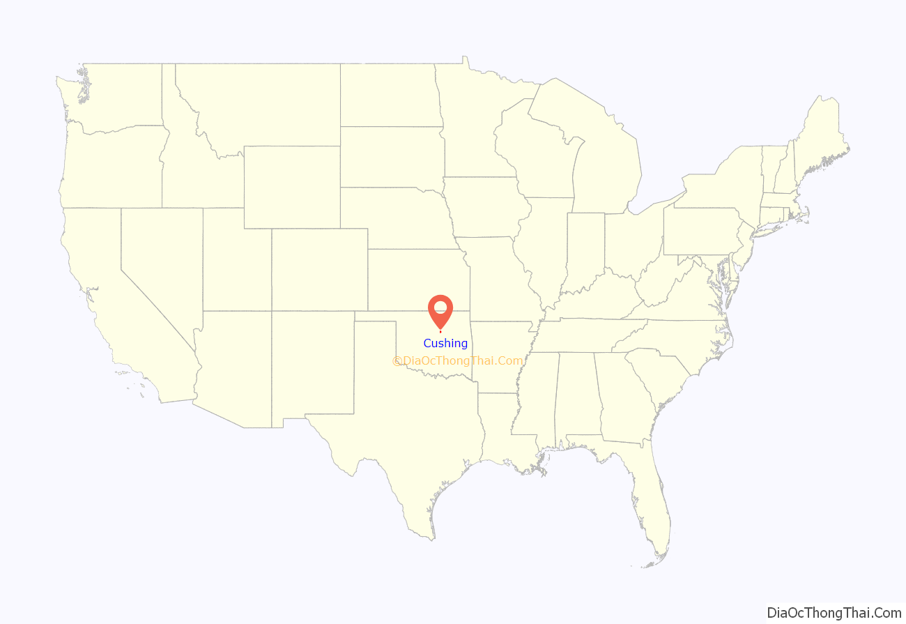
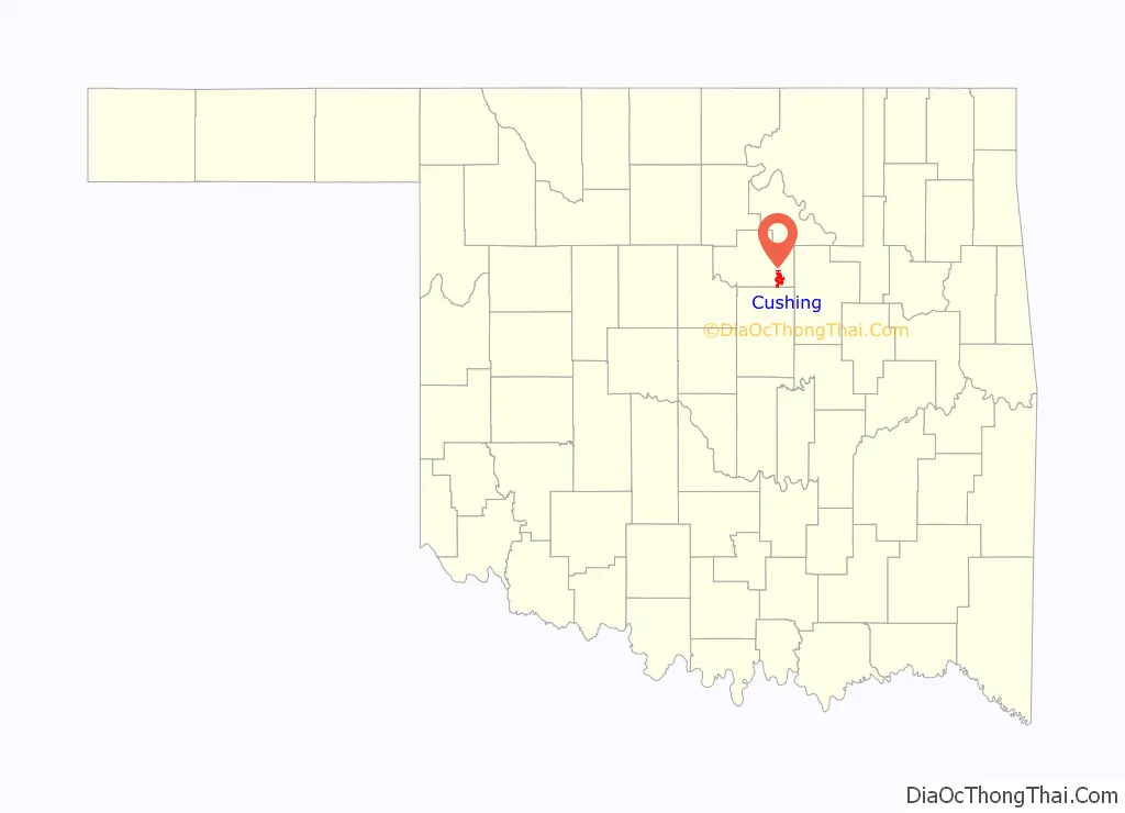
Cushing location map. Where is Cushing city?
History
The area that became Cushing was part of the Sac and Fox Reservation. With the Land Run of 1891, a former government trader for the tribe, Billy Rae Little, built a house, established his claim, and laid out town lots. The town got a post office on November 10, 1891, and was named for Marshall Cushing, private secretary to U.S. Postmaster General John Wanamaker.
In 1902, the Eastern Oklahoma Railway line to Cushing was built. The Missouri, Kansas and Texas Railway added service on its own line built in 1903.
Wildcatter Thomas B. Slick started an oil boom on March 17, 1912, when he brought in a gusher east of Cushing. Other wells were soon drilled nearby, and the oil field became known as the Cushing-Drumright Oil Field. The city became a center for exploration of and production from nearby oil fields and also a refining center, when Consumers Oil Company opened a refinery in 1913. Production centered on the new town of Drumright, and Cushing became a refining center. Eventually, 23 oil companies and five oil-field supply houses located in the town, and more than 50 refineries once operated in the Cushing area. Pipelines and storage facilities have since made it “the pipeline crossroads of the world”.
The oil boom did not last long. Production peaked in 1915 with 8.3 million barrels of oil, but went down by 50% in 1916.
During the 1970s and 1980s refining operations continued in Cushing until the last two refineries, Kerr-McGee and Hudson, closed. Rail service ended in 1982. As the oil fields started to run dry, starting in the 1940s, production and refining became less important.
The town retained a great asset in the Shell pipeline terminal, with 39 storage tanks and pipelines that could move as much as 1.5 million barrels a day. This enhanced Cushing’s status as “Pipeline Crossroads of the World.”
The maze of pipelines and tanks that had been built led to the NYMEX choosing Cushing as the official delivery point for its light sweet crude futures contract in 1983.
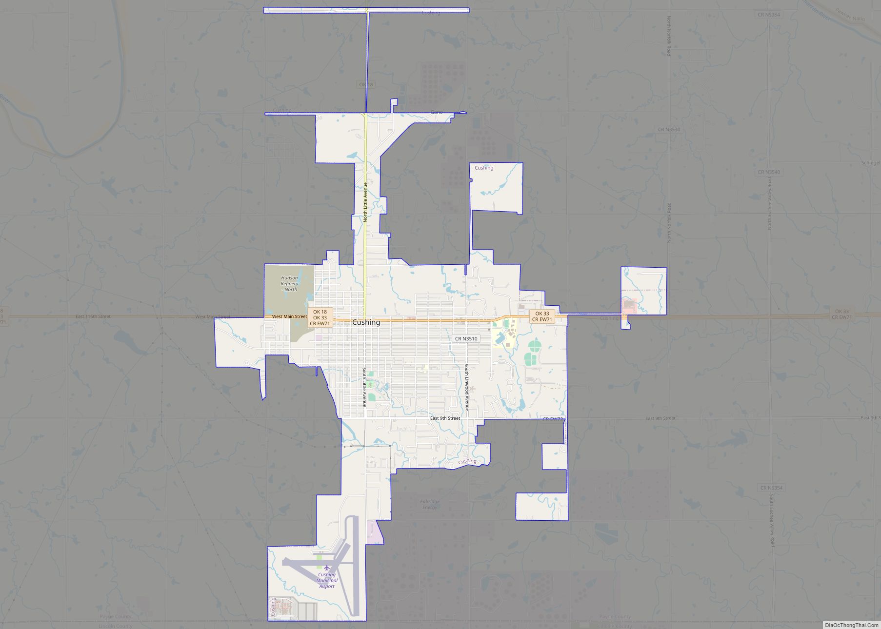
Cushing Road Map
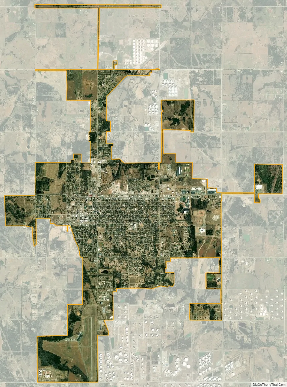
Cushing city Satellite Map
Geography
Cushing is located in Payne County at the intersection of state highways 18 and Oklahoma State Highway 33. Its geographic coordinates are 35°58′57″N 96°45′51″W / 35.98250°N 96.76417°W / 35.98250; -96.76417 (35.982628, -96.764171). According to the United States Census Bureau, the city has a total area of 7.6 square miles (20 km), of which 7.6 square miles (20 km) is land and 0.13% is water.
Climate
See also
Map of Oklahoma State and its subdivision:- Adair
- Alfalfa
- Atoka
- Beaver
- Beckham
- Blaine
- Bryan
- Caddo
- Canadian
- Carter
- Cherokee
- Choctaw
- Cimarron
- Cleveland
- Coal
- Comanche
- Cotton
- Craig
- Creek
- Custer
- Delaware
- Dewey
- Ellis
- Garfield
- Garvin
- Grady
- Grant
- Greer
- Harmon
- Harper
- Haskell
- Hughes
- Jackson
- Jefferson
- Johnston
- Kay
- Kingfisher
- Kiowa
- Latimer
- Le Flore
- Lincoln
- Logan
- Love
- Major
- Marshall
- Mayes
- McClain
- McCurtain
- McIntosh
- Murray
- Muskogee
- Noble
- Nowata
- Okfuskee
- Oklahoma
- Okmulgee
- Osage
- Ottawa
- Pawnee
- Payne
- Pittsburg
- Pontotoc
- Pottawatomie
- Pushmataha
- Roger Mills
- Rogers
- Seminole
- Sequoyah
- Stephens
- Texas
- Tillman
- Tulsa
- Wagoner
- Washington
- Washita
- Woods
- Woodward
- Alabama
- Alaska
- Arizona
- Arkansas
- California
- Colorado
- Connecticut
- Delaware
- District of Columbia
- Florida
- Georgia
- Hawaii
- Idaho
- Illinois
- Indiana
- Iowa
- Kansas
- Kentucky
- Louisiana
- Maine
- Maryland
- Massachusetts
- Michigan
- Minnesota
- Mississippi
- Missouri
- Montana
- Nebraska
- Nevada
- New Hampshire
- New Jersey
- New Mexico
- New York
- North Carolina
- North Dakota
- Ohio
- Oklahoma
- Oregon
- Pennsylvania
- Rhode Island
- South Carolina
- South Dakota
- Tennessee
- Texas
- Utah
- Vermont
- Virginia
- Washington
- West Virginia
- Wisconsin
- Wyoming