Drumright is a city in Creek and Payne counties in the U.S. state of Oklahoma. It began as an oil boom town. However, the population has declined as oil production has waned in the area. The population was 2,907 at the 2010 census, a figure almost unchanged from 2,905 in 2000. Drumright and nearby Cushing were at the center of the large, productive Cushing-Drumright Oil Field in the 1910s and 1920s. Now Drumright is home to a festival called The Drumright Monthly Market, where hundreds of visitors come, seeking crafts and delicacies from all over the region. First Saturday of every month.
| Name: | Drumright city |
|---|---|
| LSAD Code: | 25 |
| LSAD Description: | city (suffix) |
| State: | Oklahoma |
| County: | Creek County, Payne County |
| Elevation: | 853 ft (260 m) |
| Total Area: | 7.39 sq mi (19.15 km²) |
| Land Area: | 7.39 sq mi (19.14 km²) |
| Water Area: | 0.00 sq mi (0.01 km²) |
| Total Population: | 2,560 |
| Population Density: | 346.46/sq mi (133.77/km²) |
| ZIP code: | 74030 |
| Area code: | 539/918 |
| FIPS code: | 4021750 |
| GNISfeature ID: | 1092205 |
| Website: | cityofdrumright.com |
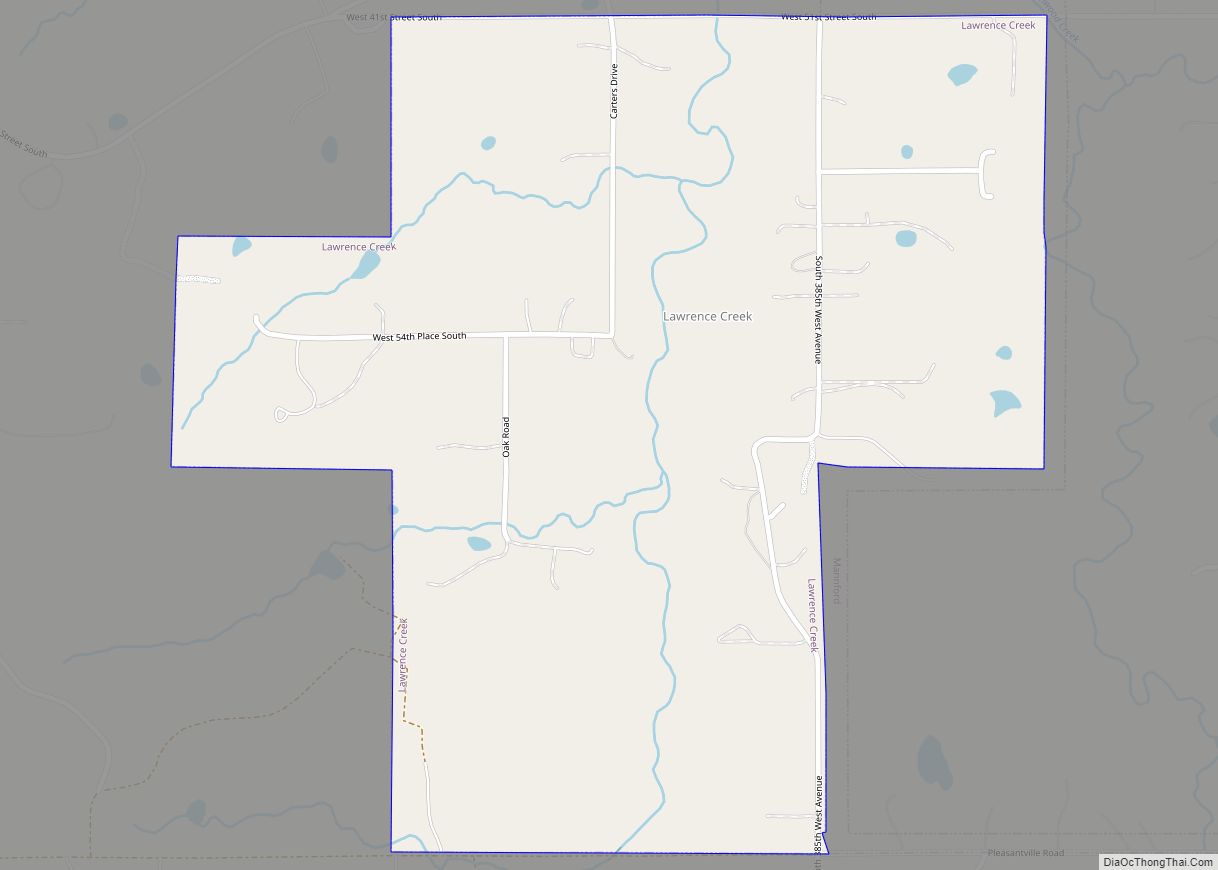
Online Interactive Map
Click on ![]() to view map in "full screen" mode.
to view map in "full screen" mode.
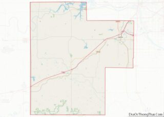
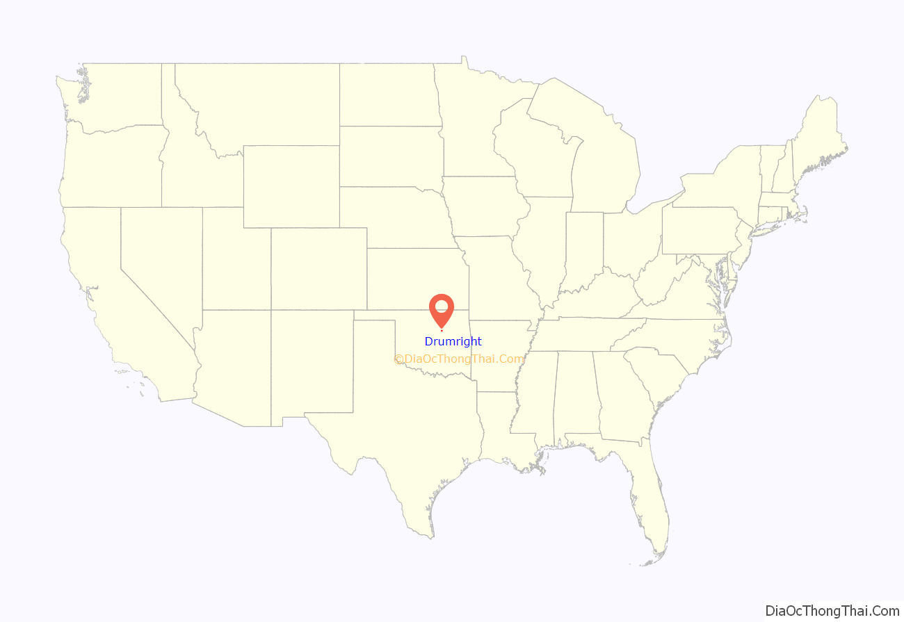
Drumright location map. Where is Drumright city?

History
The town sprang up nearly overnight in 1912, after wildcatter Tom Slick struck oil on the farm of Frank Wheeler, causing a rush of speculators, oilfield workers, and merchants into the area. A post office was established in the community on December 28, 1912. Local landowners James W. Fulkerson and Aaron Drumright platted a townsite, which was initially called Fulkerson, The town was renamed for Aaron Drumright, a farmer and later local businessman whose farm was part of the townsite.
Oil workers flooded into town so quickly that they lived in tents or shacks made from box cars, causing the community to be known locally as “Ragtown.” Hotels and boarding houses were constructed next, as well as amenities like gambling dens, dance halls, and roadhouses, where the workers could spend their money. Drumright incorporated as a town on May 27, 1913. In 1914, the city built a two-story building of stone to serve as an elementary and high school. It was called Washington School, and is listed on the National Register of Historic Places (NRIS 81000462). Two banks opened in the town during 1914. Drumright was designated a first-class city after an election on April 18, 1916. The 1920 census reported a population of 6,460.
The Oil Fields and Santa Fe Railway, an Atchison, Topeka & Santa Fe Railroad (AT&SF) subsidiary, built a track from Frey Junction (south of Oilton) to Drumright in 1915. The following year, the AT&SF built a line north from Shamrock to Drumright. The Oil Fields and Santa Fe Railway was merged into the AT&SF in 1941.
In 1919 a riot broke out in Drumright during a strike by telephone workers. The town’s mayor and chief of police were locked in the town jail by rioters. The Governor of Oklahoma sent six militia units to town to restore order.
Beginning with the Depression of the 1930s, the town declined as oil production waned, and a large refinery at the edge of town closed in the 1950s.
Tornadoes have caused loss of life and property damage in Drumright on at least two occasions: on April 2, 1956, when five people were killed and several homes, a school, and the public library were damaged; and on June 8, 1974, when 12 people were killed, a nursing home was destroyed, and about 100 homes were damaged or destroyed.
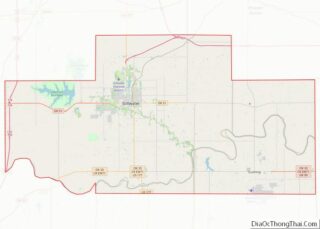
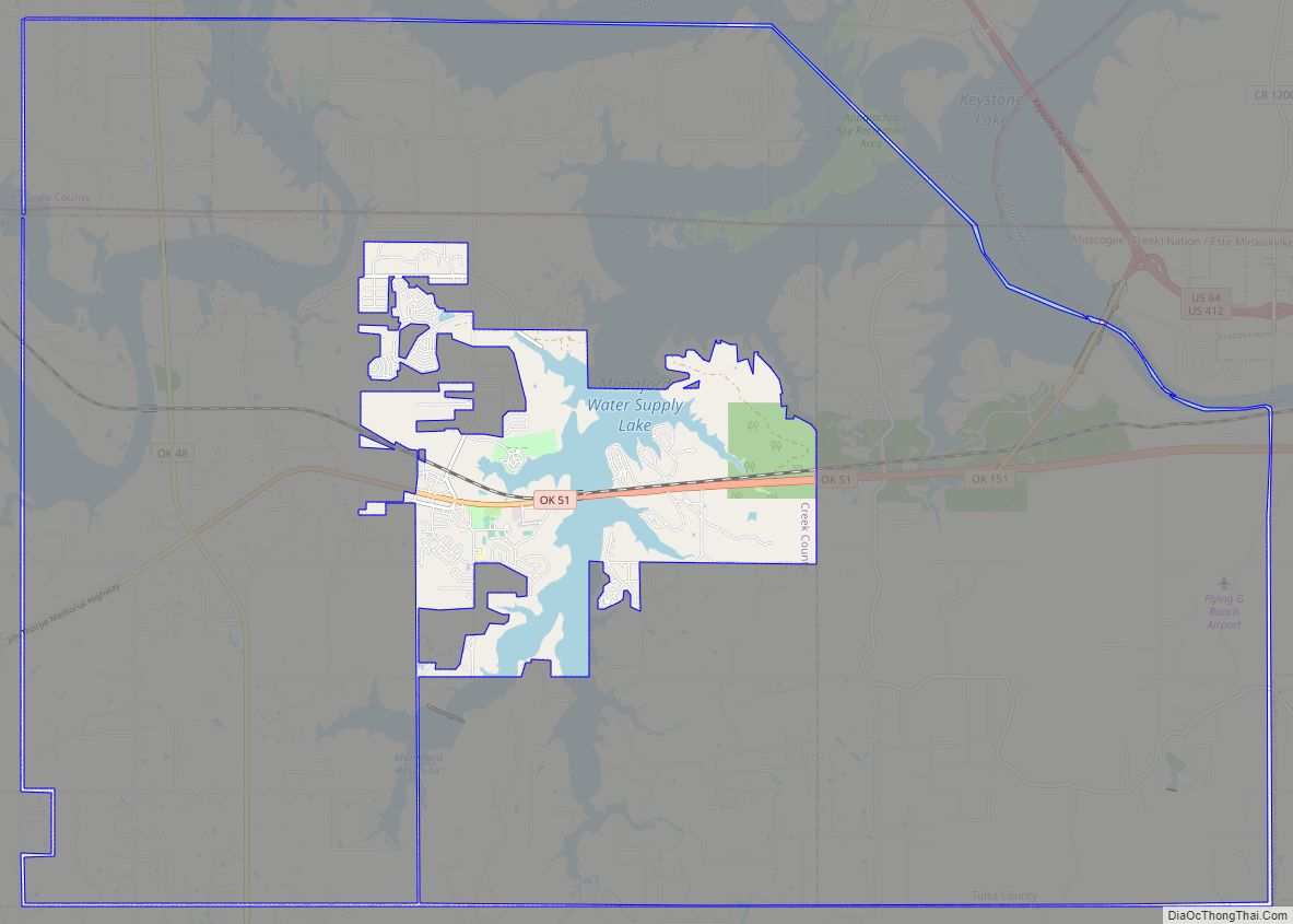
Drumright Road Map

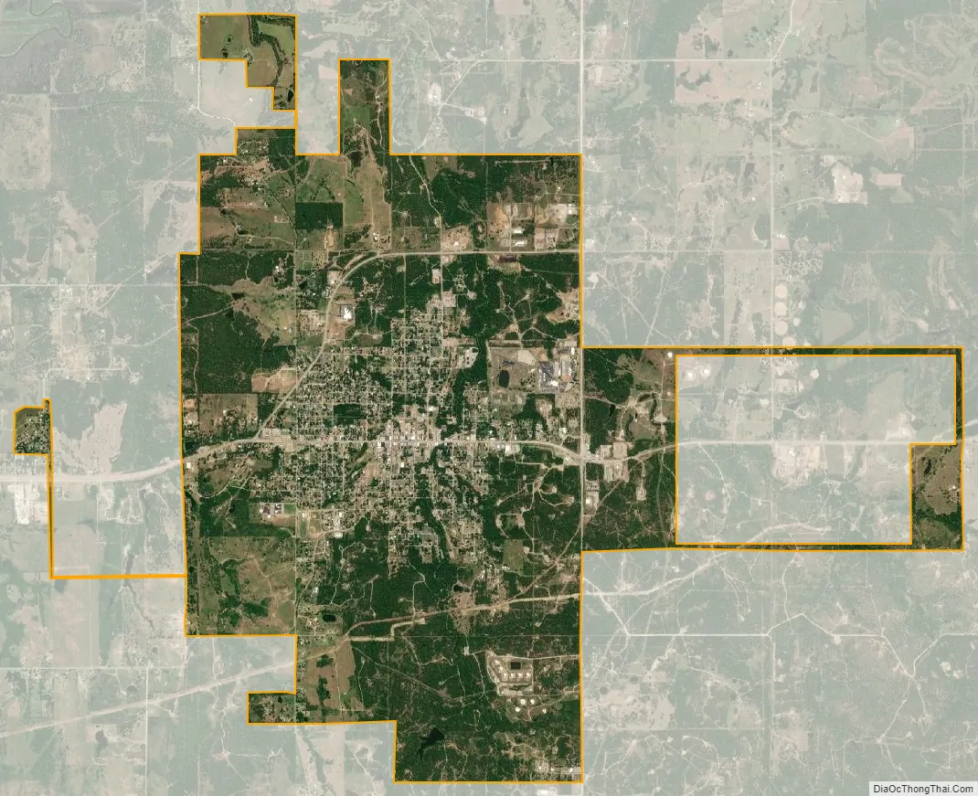
Drumright city Satellite Map
Geography
Drumright is located in western Creek County at 35°59′17″N 96°36′2″W / 35.98806°N 96.60056°W / 35.98806; -96.60056 (35.988168, -96.600570). A small portion of the city extends west into Payne County. Drumright is 26 miles (42 km) west of Sapulpa, 42 miles southwest of Tulsa and 76 miles northeast of Oklahoma City at the junction of State Highways 16, 33 and 99. According to the United States Census Bureau, the city has a total area of 7.5 square miles (19.5 km), of which 0.02 square miles (0.04 km), or 0.19%, is water.
See also
Map of Oklahoma State and its subdivision:- Adair
- Alfalfa
- Atoka
- Beaver
- Beckham
- Blaine
- Bryan
- Caddo
- Canadian
- Carter
- Cherokee
- Choctaw
- Cimarron
- Cleveland
- Coal
- Comanche
- Cotton
- Craig
- Creek
- Custer
- Delaware
- Dewey
- Ellis
- Garfield
- Garvin
- Grady
- Grant
- Greer
- Harmon
- Harper
- Haskell
- Hughes
- Jackson
- Jefferson
- Johnston
- Kay
- Kingfisher
- Kiowa
- Latimer
- Le Flore
- Lincoln
- Logan
- Love
- Major
- Marshall
- Mayes
- McClain
- McCurtain
- McIntosh
- Murray
- Muskogee
- Noble
- Nowata
- Okfuskee
- Oklahoma
- Okmulgee
- Osage
- Ottawa
- Pawnee
- Payne
- Pittsburg
- Pontotoc
- Pottawatomie
- Pushmataha
- Roger Mills
- Rogers
- Seminole
- Sequoyah
- Stephens
- Texas
- Tillman
- Tulsa
- Wagoner
- Washington
- Washita
- Woods
- Woodward
- Alabama
- Alaska
- Arizona
- Arkansas
- California
- Colorado
- Connecticut
- Delaware
- District of Columbia
- Florida
- Georgia
- Hawaii
- Idaho
- Illinois
- Indiana
- Iowa
- Kansas
- Kentucky
- Louisiana
- Maine
- Maryland
- Massachusetts
- Michigan
- Minnesota
- Mississippi
- Missouri
- Montana
- Nebraska
- Nevada
- New Hampshire
- New Jersey
- New Mexico
- New York
- North Carolina
- North Dakota
- Ohio
- Oklahoma
- Oregon
- Pennsylvania
- Rhode Island
- South Carolina
- South Dakota
- Tennessee
- Texas
- Utah
- Vermont
- Virginia
- Washington
- West Virginia
- Wisconsin
- Wyoming