Mulhall is a town in Logan (mostly) and Payne counties in Oklahoma, United States. The population was 225 at the 2010 census, down 5.9 percent from the figure of 239 in 2000. It is part of the Oklahoma City Metropolitan Statistical Area.
| Name: | Mulhall town |
|---|---|
| LSAD Code: | 43 |
| LSAD Description: | town (suffix) |
| State: | Oklahoma |
| County: | Logan County, Payne County |
| Elevation: | 942 ft (287 m) |
| Total Area: | 0.81 sq mi (2.11 km²) |
| Land Area: | 0.81 sq mi (2.11 km²) |
| Water Area: | 0.00 sq mi (0.00 km²) |
| Total Population: | 212 |
| Population Density: | 260.76/sq mi (100.65/km²) |
| ZIP code: | 73063 |
| Area code: | 405/572 |
| FIPS code: | 4049900 |
| GNISfeature ID: | 1095701 |
Online Interactive Map
Click on ![]() to view map in "full screen" mode.
to view map in "full screen" mode.
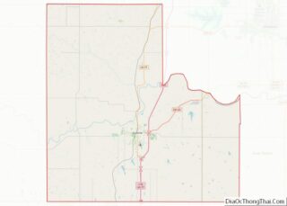
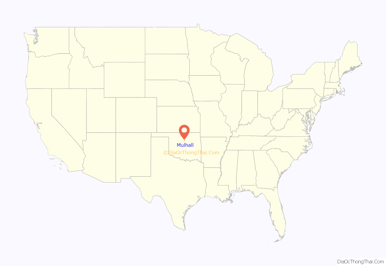
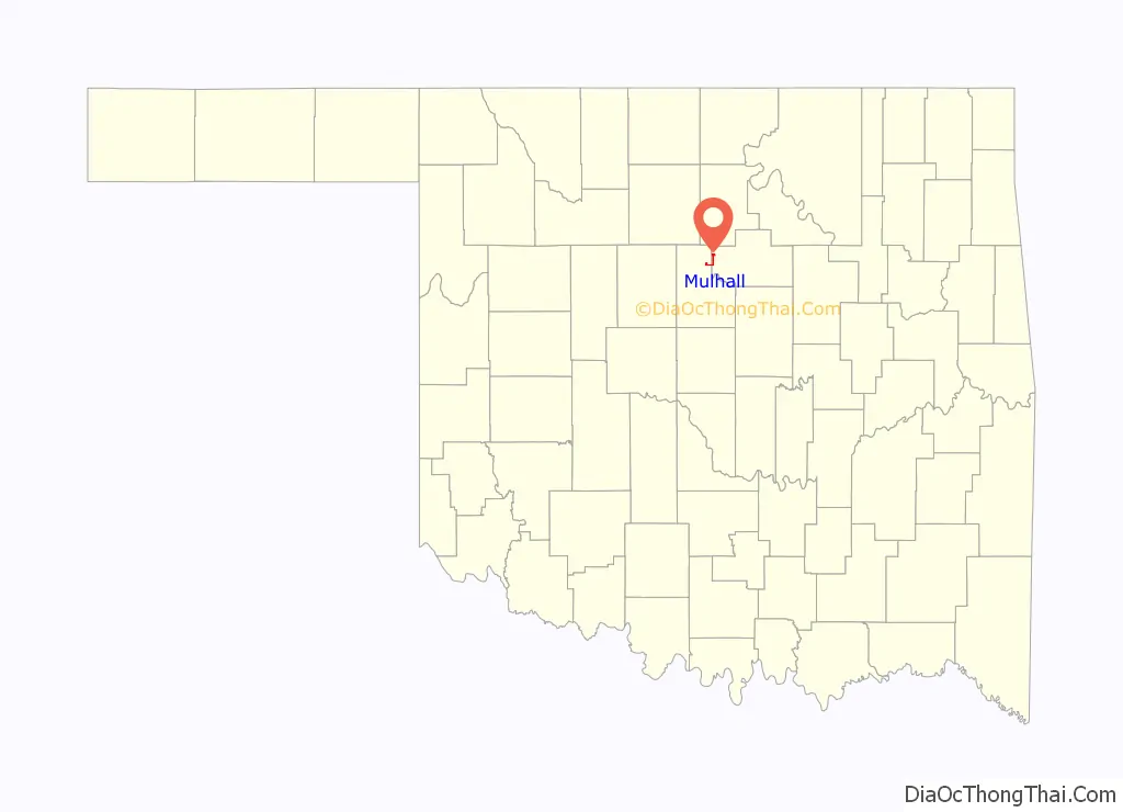
Mulhall location map. Where is Mulhall town?
History
The town began as a railroad station for the Santa Fe railroad, and was originally named Alfred, for the son of an attorney. The town is named for Zach Mulhall, father of Lucille Mulhall, who was the first official ‘cowgirl’ to actually compete against men in rodeo events and win. The town name was changed from Alfred to Mulhall shortly after the land run of 1889 because there were two towns named ‘Alfred’ at that time, according to a petition made by Zach to the railroad.
Zach Mulhall hosted his own show for many years across the country, with Lucille starring in those shows along with her siblings. Zach and the Mulhall family were also friends with the Miller Brothers of 101 Ranch Fame in nearby Ponca City and often performed with them and shared talent for their shows when needed. Will Rogers and Tom Mix were also integral parts of the early years of the shows and Will (then performing under the stage name, “The Cherokee Kid}”) is credited with teaching Lucille how to twirl-another talent for which she was known.
Carrie Nation visited Mulhall in 1901 to tell the town saloons about the evils of liquor and warning that she would return. The town immediately ordered the saloon out of business.
In 1907, ”Leslie’s Weekly” carried a picture of Lucille, calling her the world’s champion lariat thrower, a title she won in San Antonio. It also states that she entertained President Theodore Roosevelt.
About 80 percent of the town was destroyed on May 3, 1999, 110 years after the town’s founding, by a violent high-end F4 tornado (possibly F5 before hitting the town) which was recorded to be well over one mile wide at times. The town’s water tower collapsed due to the violent winds.
Lucille’s Restaurant, located in the old Bank Building, was one of the few original structures to survive the tornado. The restaurant boasted eclectic photographs of Lucille and her family during the heyday of their lives and performances in Wild West shows featured in the decor. On September 2, 2009, the restaurant was extensively damaged by fire. It was rebuilt and catered to a variety of customers from families to bikers. On October 21, 2018 it closed permanently. On March 12, 2021 the restaurant was purchased by new owners and is being reopened under the name Lucille’s Chuckwagon on May 20th 2021. The Methodist church also survived, and is pictured behind the old Mulhall School.
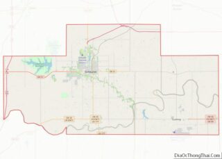
Mulhall Road Map

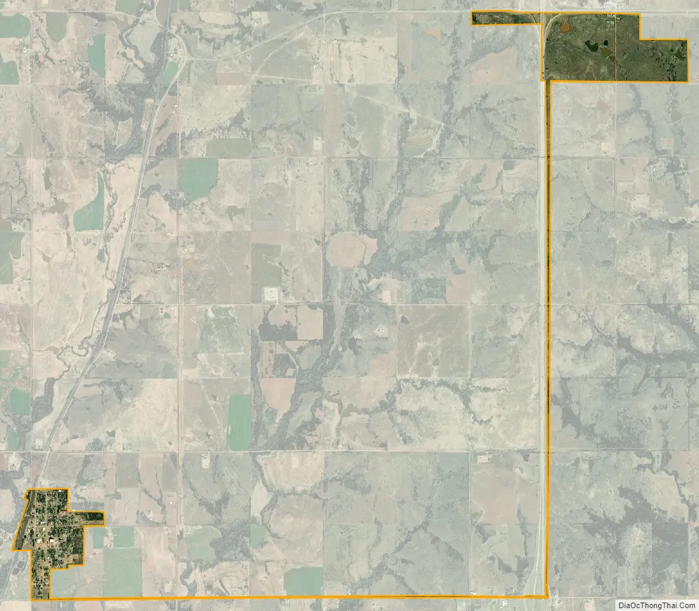
Mulhall city Satellite Map
Geography
Mulhall is located at 36°3′55″N 97°24′18″W / 36.06528°N 97.40500°W / 36.06528; -97.40500 (36.065393, -97.405081). Mulhall is 13 miles (21 km) north of Guthrie. According to the United States Census Bureau, the town has a total area of 0.2 square miles (0.52 km), all land.
See also
Map of Oklahoma State and its subdivision:- Adair
- Alfalfa
- Atoka
- Beaver
- Beckham
- Blaine
- Bryan
- Caddo
- Canadian
- Carter
- Cherokee
- Choctaw
- Cimarron
- Cleveland
- Coal
- Comanche
- Cotton
- Craig
- Creek
- Custer
- Delaware
- Dewey
- Ellis
- Garfield
- Garvin
- Grady
- Grant
- Greer
- Harmon
- Harper
- Haskell
- Hughes
- Jackson
- Jefferson
- Johnston
- Kay
- Kingfisher
- Kiowa
- Latimer
- Le Flore
- Lincoln
- Logan
- Love
- Major
- Marshall
- Mayes
- McClain
- McCurtain
- McIntosh
- Murray
- Muskogee
- Noble
- Nowata
- Okfuskee
- Oklahoma
- Okmulgee
- Osage
- Ottawa
- Pawnee
- Payne
- Pittsburg
- Pontotoc
- Pottawatomie
- Pushmataha
- Roger Mills
- Rogers
- Seminole
- Sequoyah
- Stephens
- Texas
- Tillman
- Tulsa
- Wagoner
- Washington
- Washita
- Woods
- Woodward
- Alabama
- Alaska
- Arizona
- Arkansas
- California
- Colorado
- Connecticut
- Delaware
- District of Columbia
- Florida
- Georgia
- Hawaii
- Idaho
- Illinois
- Indiana
- Iowa
- Kansas
- Kentucky
- Louisiana
- Maine
- Maryland
- Massachusetts
- Michigan
- Minnesota
- Mississippi
- Missouri
- Montana
- Nebraska
- Nevada
- New Hampshire
- New Jersey
- New Mexico
- New York
- North Carolina
- North Dakota
- Ohio
- Oklahoma
- Oregon
- Pennsylvania
- Rhode Island
- South Carolina
- South Dakota
- Tennessee
- Texas
- Utah
- Vermont
- Virginia
- Washington
- West Virginia
- Wisconsin
- Wyoming