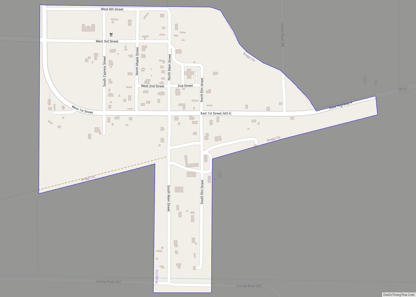
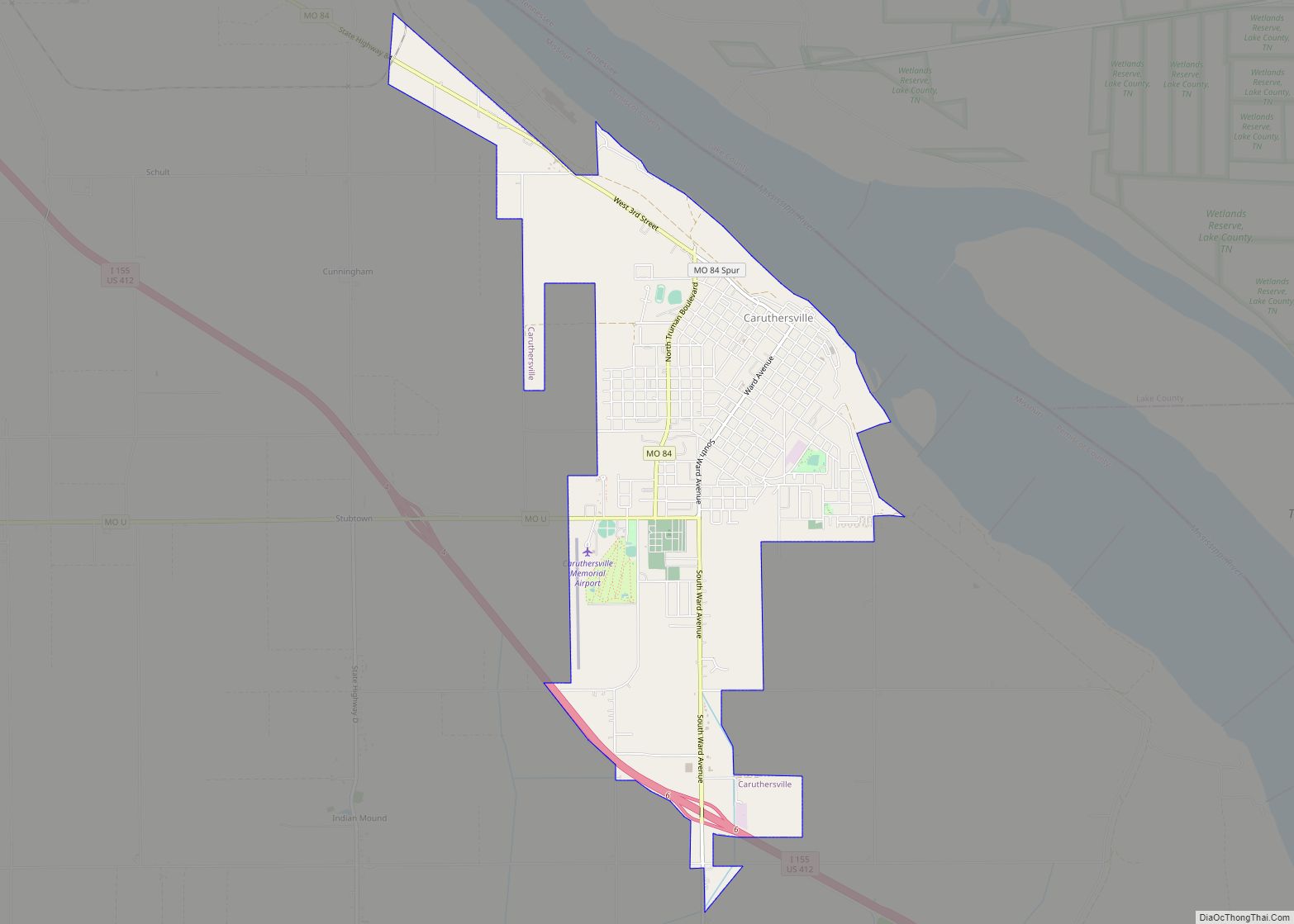
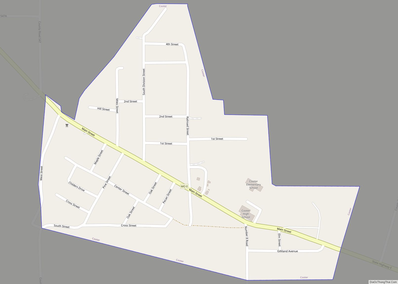
Pemiscot County is a county located in the southeastern corner in the Bootheel in the U.S. state of Missouri, with the Mississippi River forming its eastern border. As of the 2020 census, the population was 15,661. The largest city and county seat is Caruthersville. The county was officially organized on February 19, 1851. It is named for the local bayou, taken from the word pem-eskaw, meaning “liquid mud”, in the language of the native Fox (Meskwaki) people. This has been an area of cotton plantations and later other commodity crops.
Murphy Mound Archeological Site has one of the largest platform mounds in Missouri. It is a major earthwork of the Late Mississippian culture, which had settlement sites throughout the Mississippi Valley and tributaries. The site is privately owned and is not open to the public. The site may have been occupied from as early as 1200 CE and continuing to about 1541.
| Name: | Pemiscot County |
|---|---|
| FIPS code: | 29-155 |
| State: | Missouri |
| Founded: | February 19, 1851 |
| Named for: | Fox word meaning “liquid mud” |
| Seat: | Caruthersville |
| Largest city: | Caruthersville |
| Total Area: | 513 sq mi (1,330 km²) |
| Land Area: | 493 sq mi (1,280 km²) |
| Total Population: | 15,661 |
| Population Density: | 31/sq mi (12/km²) |
| Time zone: | UTC−6 (Central) |
| Summer Time Zone (DST): | UTC−5 (CDT) |
| Website: | www.pemiscotcounty.org |
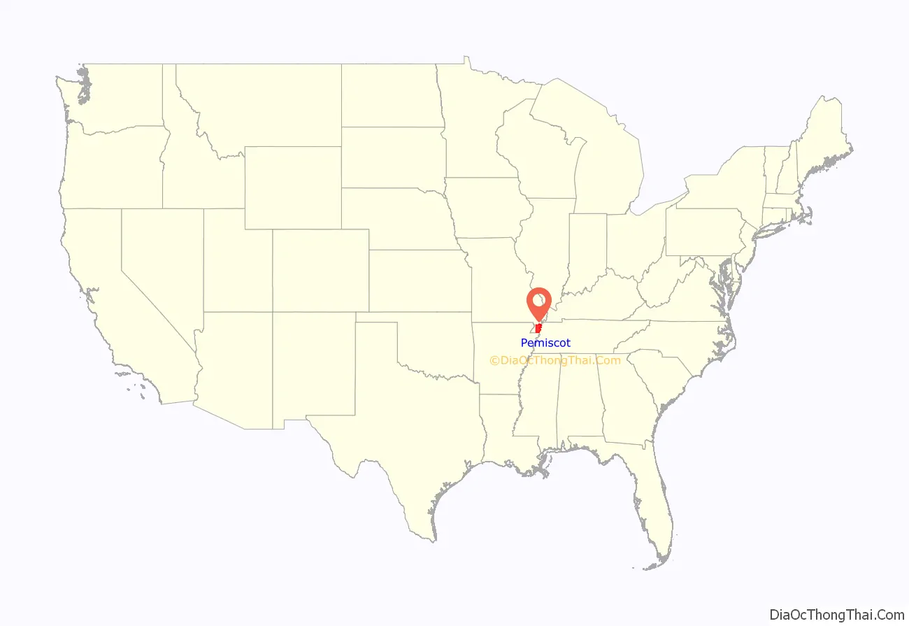
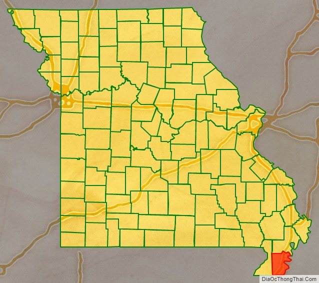
Pemiscot County location map. Where is Pemiscot County?
History
Bordering the river and its floodplain, the county was devoted to agricultural development and commodity crops. In the 19th and early 20th centuries, the major commodity crop was cotton, which was worked at the beginning mainly by enslaved African Americans.
After the Reconstruction era, four African Americans were lynched in the area, all during the early 1900s and in the county seat. This was a period of disfranchisement for African Americans, and included heightened violence against them by racist mobs.
To escape such this mistreatment, many African Americans left the county in the Great Migration, moving to big cities to seek employment. Also, with the mechanization of agriculture requiring fewer laborers, the county’s population has continually declined since its peak in 1940.
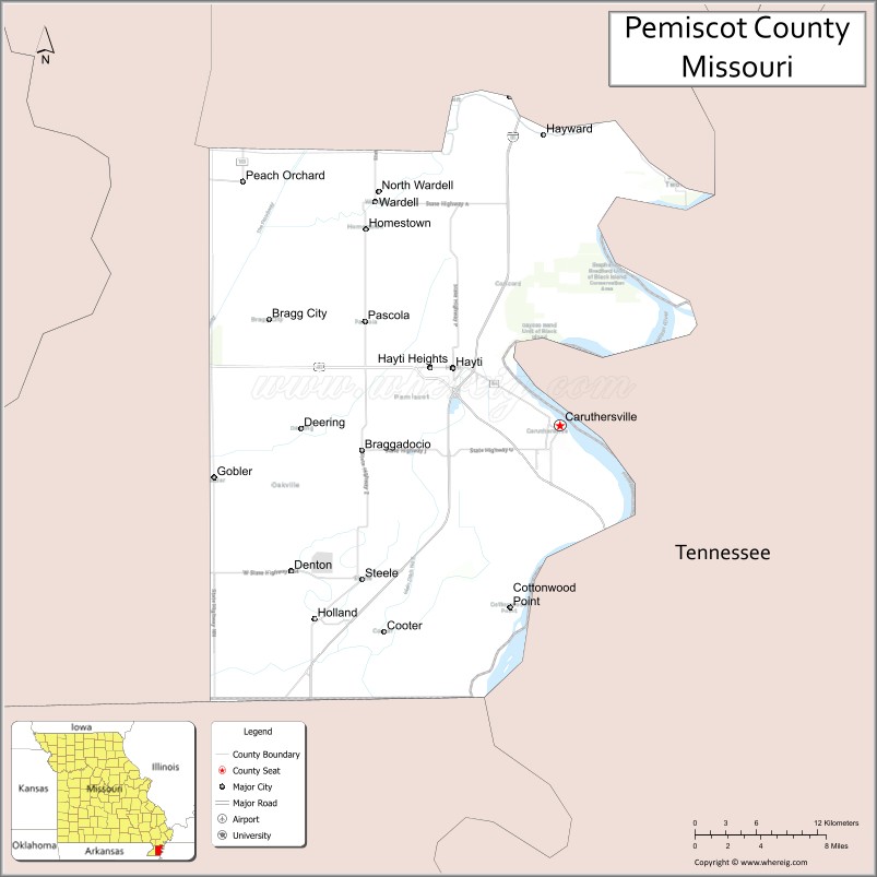
Pemiscot County Road Map

Geography
According to the U.S. Census Bureau, the county has a total area of 513 square miles (1,330 km), of which 493 square miles (1,280 km) is land and 21 square miles (54 km) (4.1%) is water. Fishing is a popular activity among residents in the area.
Adjacent counties
- New Madrid County (north)
- Lake County, Tennessee (northeast across the Mississippi River)
- Dyer County, Tennessee (southeast across the Mississippi River)
- Mississippi County, Arkansas (south)
- Dunklin County (west)
Major highways
- I-55
- I-155
- US 61
- US 412
- Route 84
- Route 153
- Route 164
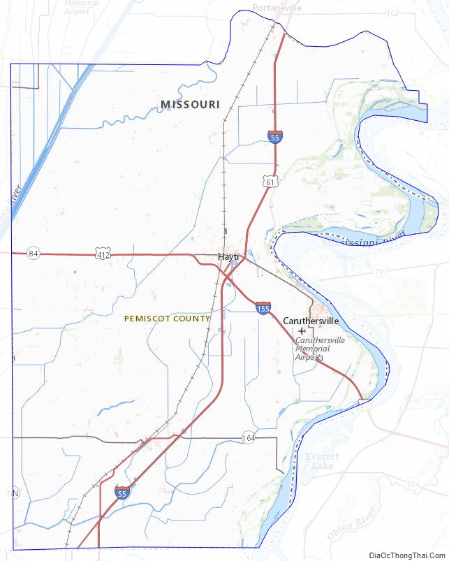
Pemiscot County Topographic Map
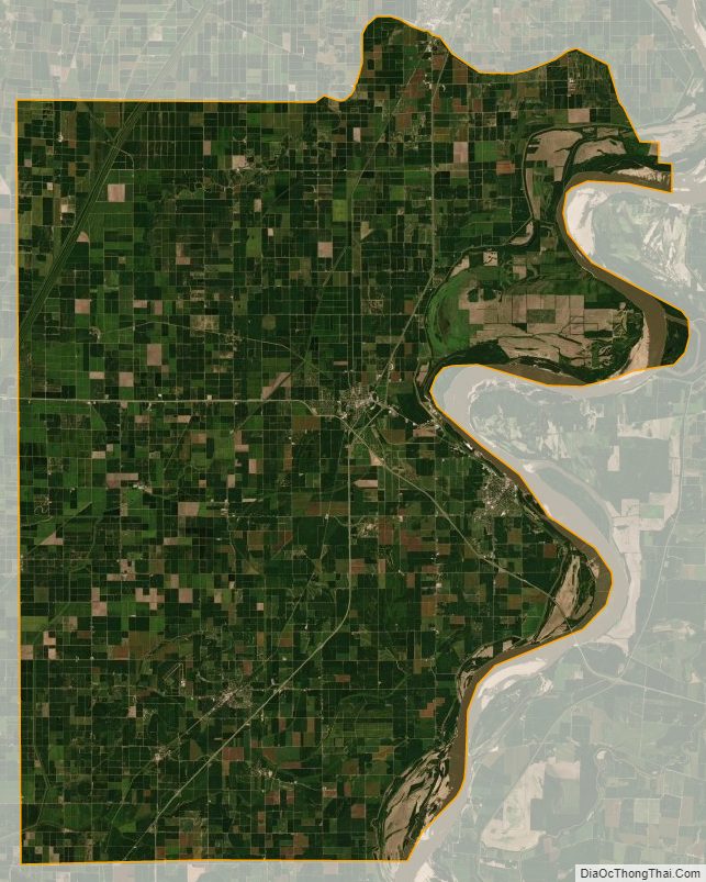
Pemiscot County Satellite Map
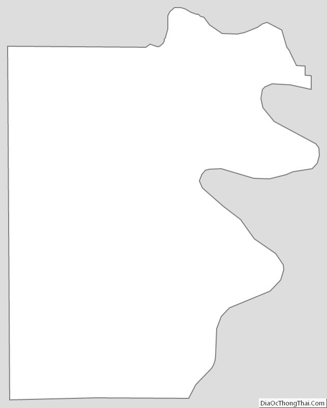
Pemiscot County Outline Map