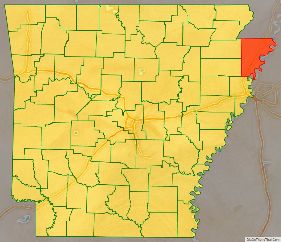
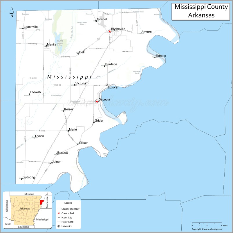
Mississippi County is the easternmost county in the U.S. state of Arkansas. As of the 2020 census, the population was 40,685. There are two county seats, Blytheville and Osceola. The county was formed on November 1, 1833, and named for the Mississippi River which borders the county to the east. Mississippi County is part of the First Congressional District in Arkansas.
The Blytheville, AR Micropolitan Statistical Area includes all of Mississippi County.
| Name: | Mississippi County |
|---|---|
| FIPS code: | 05-093 |
| State: | Arkansas |
| Founded: | November 1, 1833 |
| Named for: | Mississippi River |
| Seat: | Blytheville and Osceola |
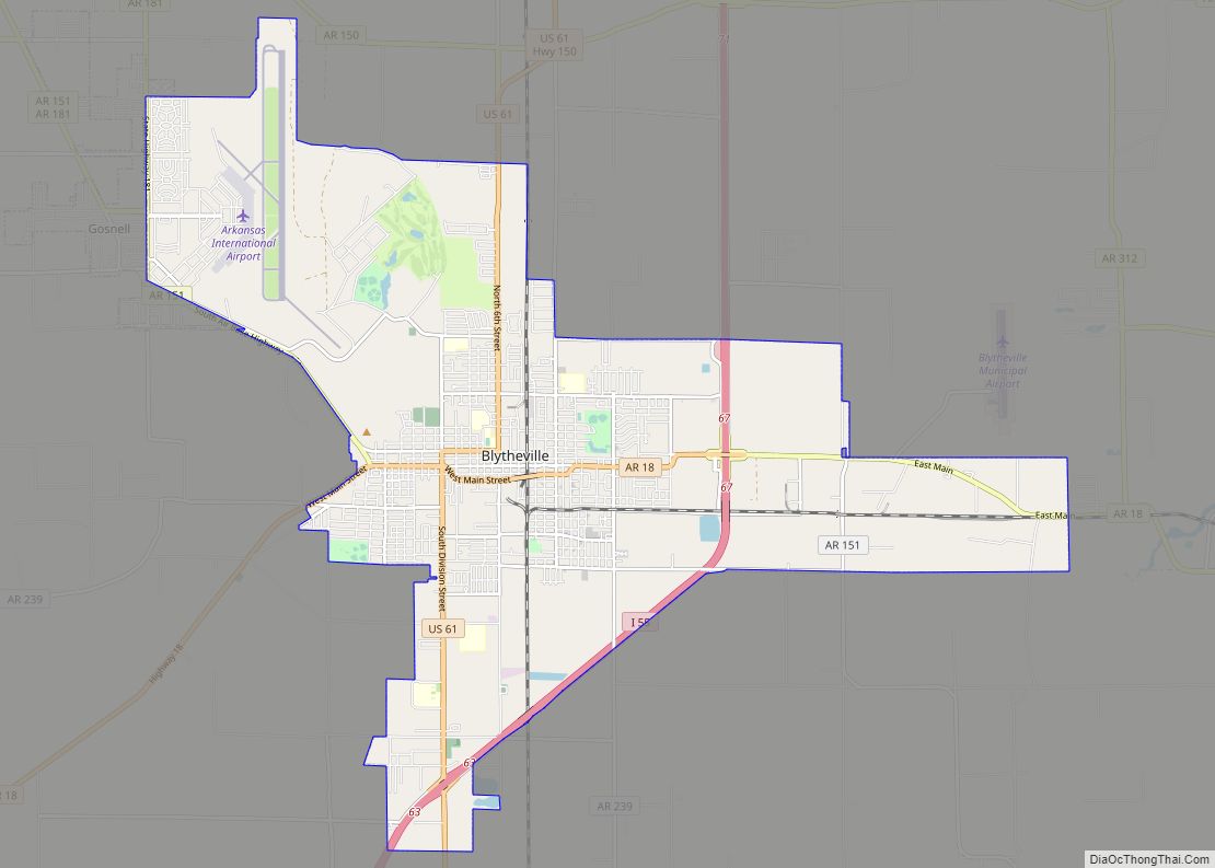
| Largest city: | Blytheville |
| Total Area: | 920 sq mi (2,400 km²) |
| Land Area: | 901 sq mi (2,330 km²) |
| Total Population: | 40,685 |
| Population Density: | 44/sq mi (17/km²) |
| Time zone: | UTC−6 (Central) |
| Summer Time Zone (DST): | UTC−5 (CDT) |
| Website: | www.mississippicountyar.org |
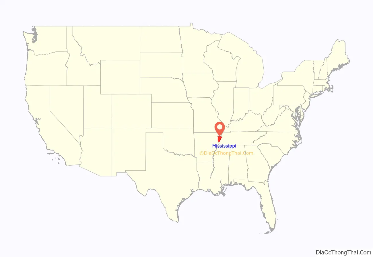
Mississippi County location map. Where is Mississippi County?
Mississippi County Road Map
Geography
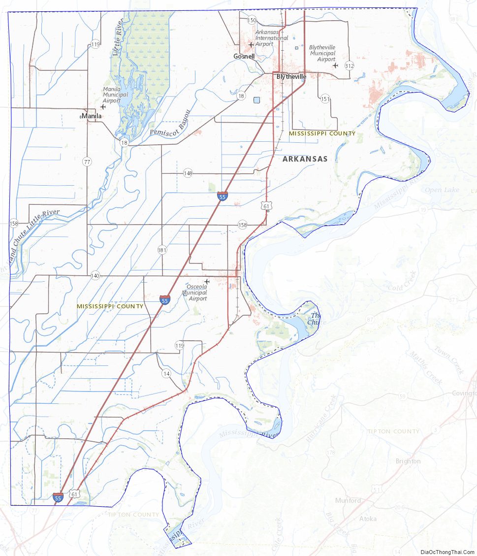
According to the U.S. Census Bureau, the county has a total area of 920 square miles (2,400 km), of which 901 square miles (2,330 km) is land and 19 square miles (49 km) (2.1%) is water.
Major highways
- Interstate 55
- U.S. Highway 61
- Highway 14
- Highway 18
- Highway 18 Business
- Highway 77
- Highway 118
- Highway 119
- Highway 135
- Highway 136
- Highway 137
- Highway 137 Spur
- Highway 140
- Highway 150
- Highway 151
- Highway 158
- Highway 181
- Highway 239
- Highway 239 Spur
- Highway 947
Adjacent counties
- Dunklin County, Missouri (northwest)
- Pemiscot County, Missouri (north)
- Dyer County, Tennessee (northeast)
- Lauderdale County, Tennessee (east)
- Tipton County, Tennessee (southeast)
- Crittenden County (south)
- Poinsett County (southwest)
- Craighead County (west)
National protected area
- Big Lake National Wildlife Refuge
Mississippi County Topographic Map
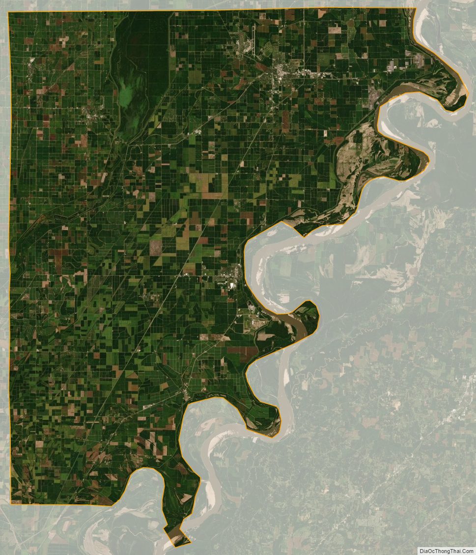
Mississippi County Satellite Map
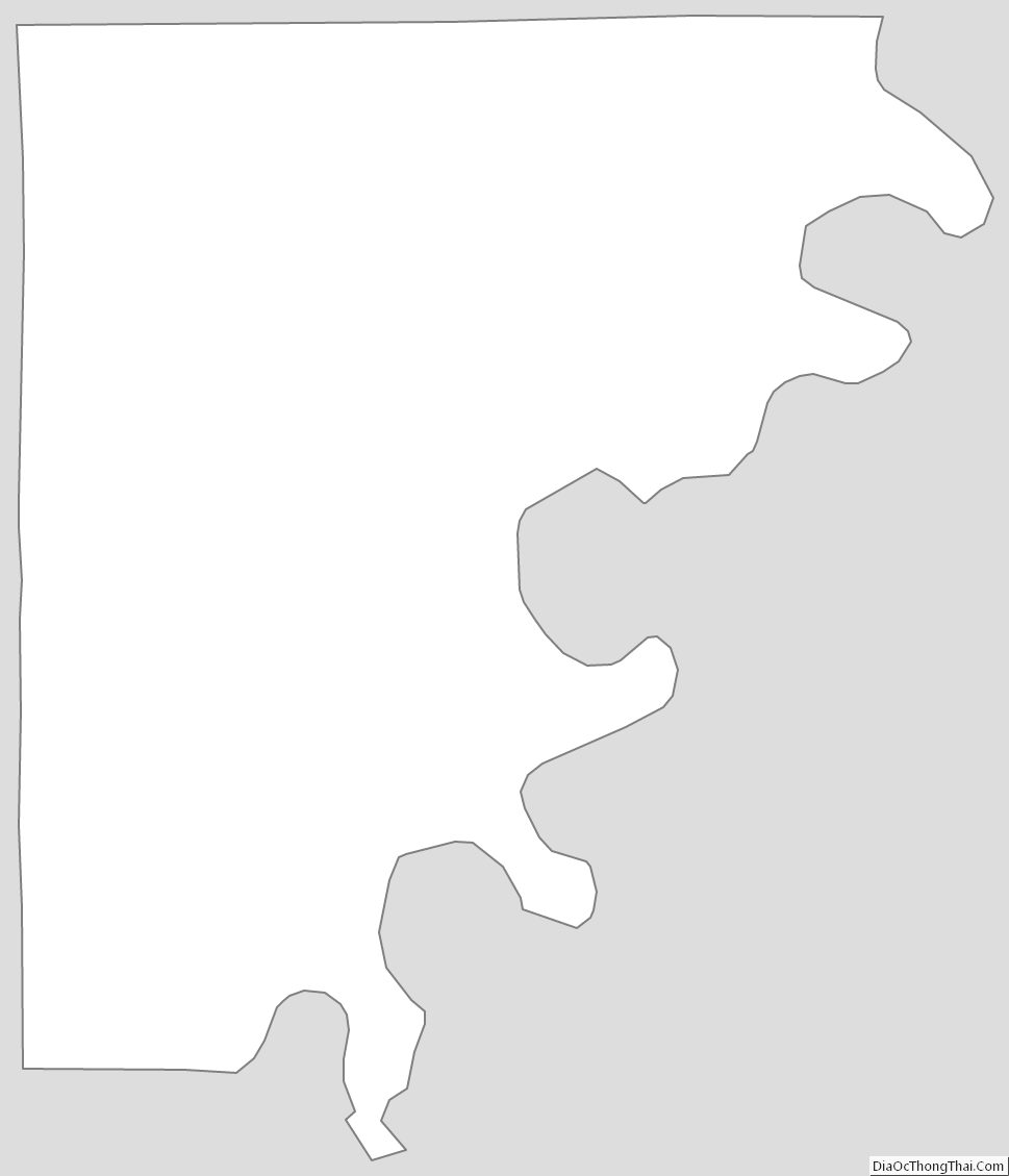
Mississippi County Outline Map