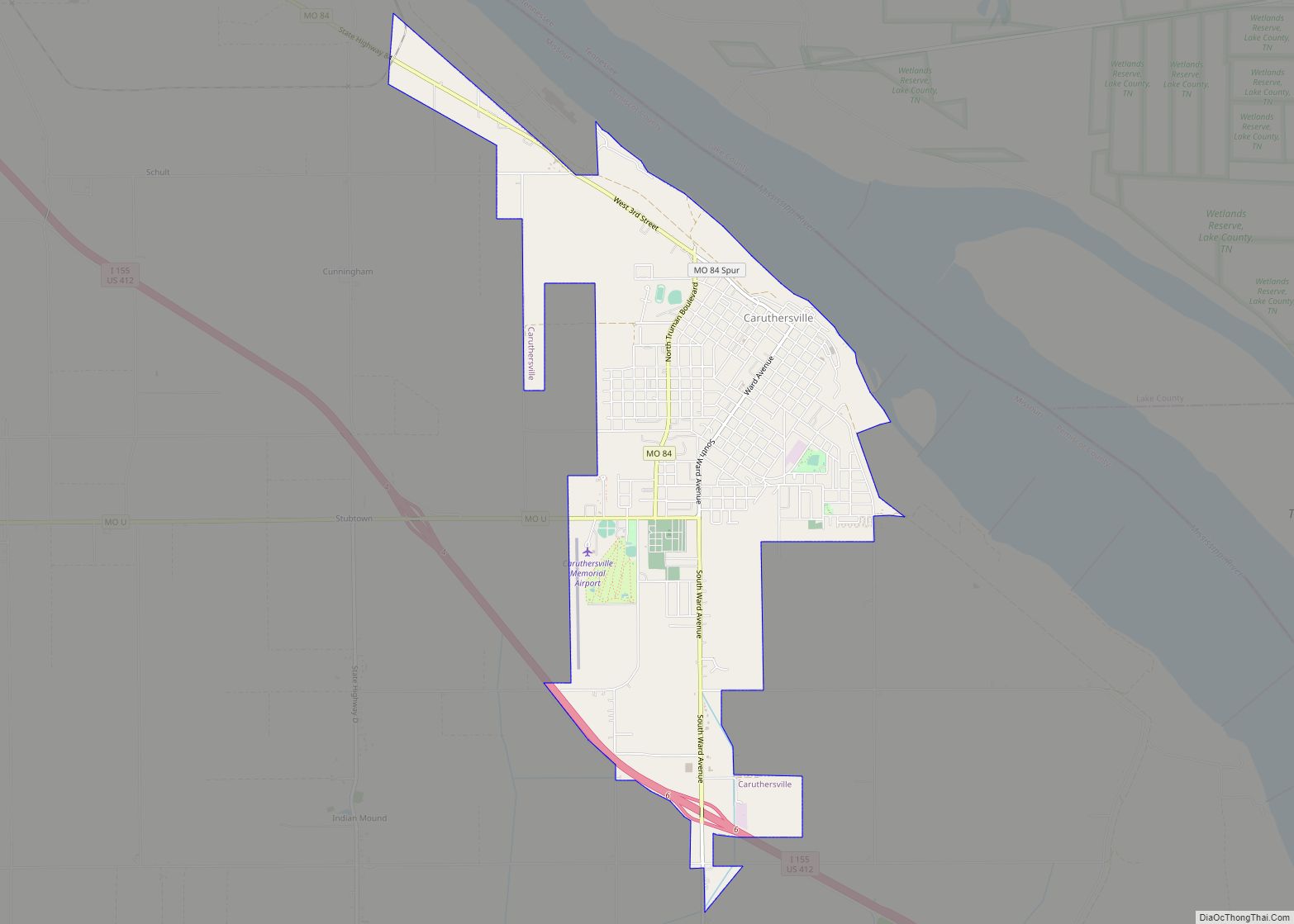
Caruthersville is a city in and the county seat of Pemiscot County, Missouri, United States, located along the Mississippi River in the Bootheel region of the state’s far southeast. The population was 5,562, according to the 2020 census.
| Name: | Caruthersville city |
|---|---|
| LSAD Code: | 25 |
| LSAD Description: | city (suffix) |
| State: | Missouri |
| County: | Pemiscot County |
| Elevation: | 269 ft (82 m) |
| Total Area: | 5.24 sq mi (13.56 km²) |
| Land Area: | 5.16 sq mi (13.36 km²) |
| Water Area: | 0.08 sq mi (0.20 km²) |
| Total Population: | 5,562 |
| Population Density: | 1,078.32/sq mi (416.37/km²) |
| ZIP code: | 63830 |
| Area code: | 573 |
| FIPS code: | 2911692 |
| GNISfeature ID: | 2393761 |
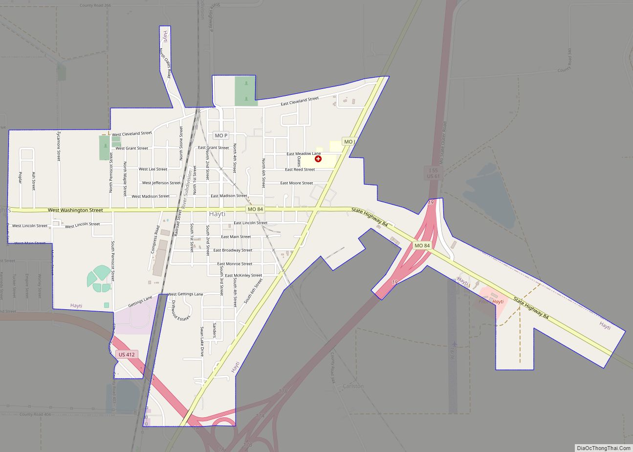
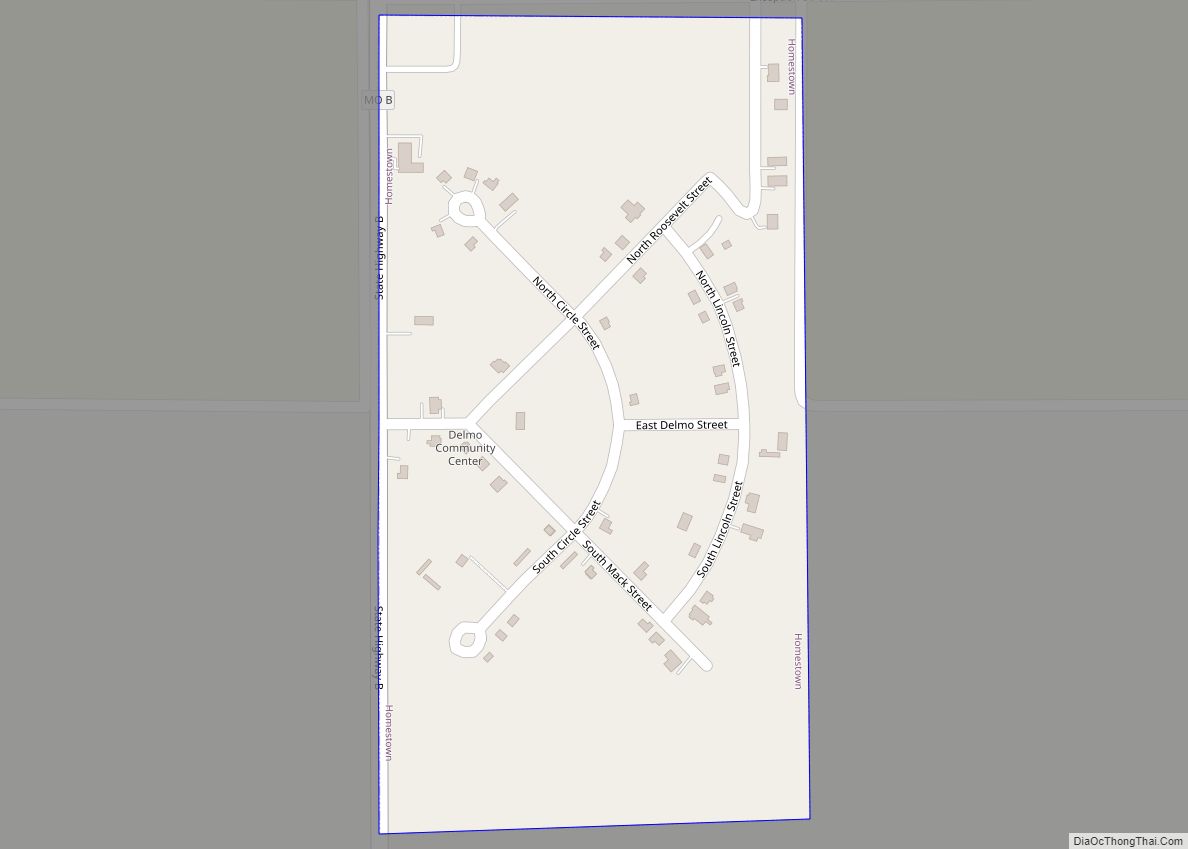
Online Interactive Map
Click on ![]() to view map in "full screen" mode.
to view map in "full screen" mode.
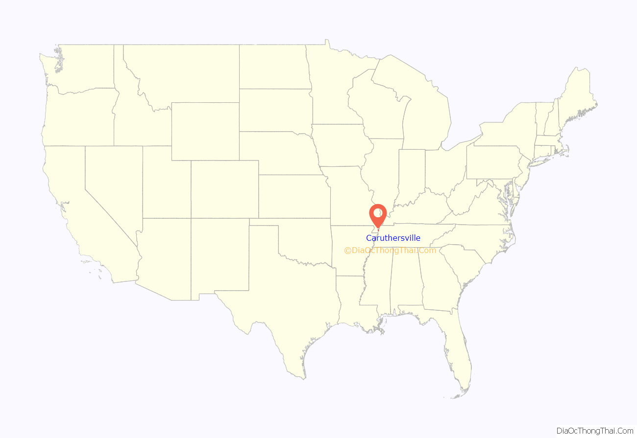
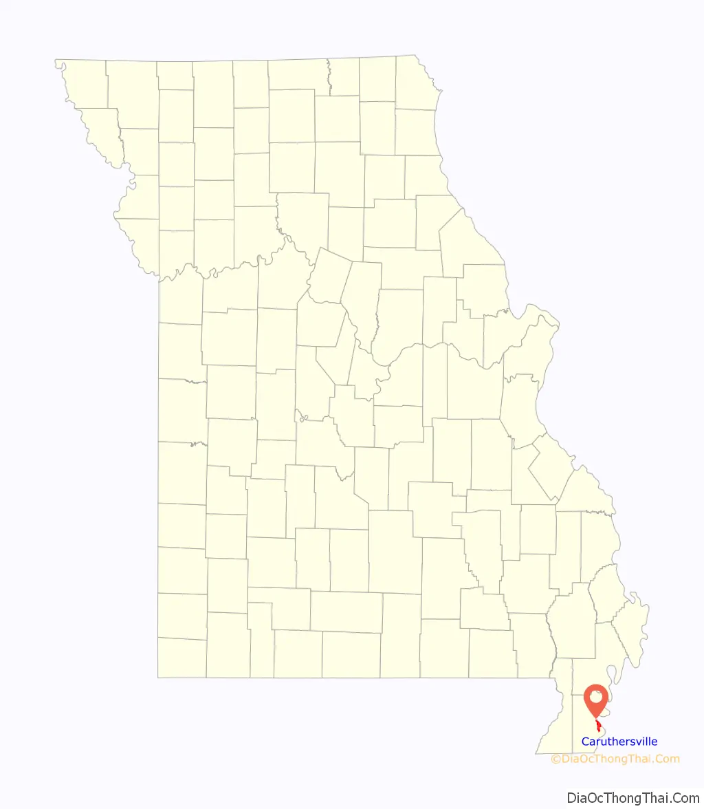
Caruthersville location map. Where is Caruthersville city?
History
Caruthersville lies in Missouri’s Bootheel on the Mississippi River. The word “Pemiscot” comes from the word pemiskaw, meaning “liquid mud” in the Fox language. Mississippi waters have frequently flooded the flatlands, creating fertile alluvial land valued for farming. Settling the floodplain has resulted in periodic problems for residents, as there are regular floods despite (and because of) elaborate constructed systems of levees and flood controls.
Native Americans inhabited the land of the Caruthersville area for thousands of years before European settlement. The Mississippian culture built huge earthwork mounds throughout the Mississippi Valley. One such earthwork remains in this county, rising 270 feet above sea level about four miles southwest of Caruthersville. It stands in contrast to the surrounding delta-like plain.
In 1857 John Hardeman Walker and G. W. Bushey laid out and platted the town of Caruthersville. The town was named for Samuel Caruthers, who first represented the area in the US Congress.
The City of Caruthersville was incorporated on May 18, 1874. The first few decades of the town’s growth can be documented through Sanborn maps, which recorded building ownership, materials, and use.
In 1893, Missouri’s General Assembly created the Saint Francis Levee District to construct protection for that part of the Saint Francis River basin lying within the counties of Dunklin, New Madrid, and Pemiscot. This act authorized taxes for the purpose of building, repairing, protecting, and maintaining levees in the district.
20th century to present
White violence against African Americans increased in the late 19th and early 20th centuries as they were pushing them out of the political system and voting across the South. Whites lynched four men in Caruthersville: D. Malone and W.J. Mooneyhon on May 3, 1903; and A.B. Richardson and Benjamin Woods on October 11, 1911.
Steel cages are one of the oldest form of enclosures used in professional wrestling. The earliest known “steel cage matches” of any kind took place on January 9, 1936 in Caruthersville, Missouri, in a card that included two such “chicken wire fence” matches between Lon Chaney and Otto Ludwig, and Joe Dillman vs. Charles Sinkey. These matches took place in a ring surrounded by chicken wire, in order to keep the athletes inside, and prevent any potential interference.
In February 1969, construction began on a bridge across the Mississippi at Caruthersville. Completed in 1976 and connecting with Dyersburg, Tennessee, it is the only bridge to cross the Mississippi River between Cairo, Illinois and Memphis, Tennessee. It is a single-tower cantilever bridge carrying Interstate 155 and U.S. Route 412.
During the night of April 2, 2006, 60% of Caruthersville was severely damaged or destroyed by a string of tornadoes that passed through the Midwestern United States. At least two persons were confirmed killed in Pemiscot County as a result of the tornado. On Monday morning, local police, state troopers, and national guard had barred entrance into Caruthersville and issued it as a “no fly zone” to anyone who was not a resident, an emergency worker, or a member of the newsmedia. According to the emergency management director from a nearby county, as many as 1,500 people were displaced by the storm, which struck the southwest side of the city.
As reported by Caruthersville’s then-mayor, Diane Sayre, there were no confirmed fatalities within city limits, but electricity and water services were disabled. Several churches, landmarks, and schools were destroyed or severely damaged, including St. John’s Episcopal, Jesus Name Tabernacle, Faith Missionary Baptist, Caruthersville Municipal Airport, Caruthersville Cotton Warehouse, the Boy’s and Girl’s Club of the Bootheel, Knox’s Drive In, the Kwik Chek, Caruthersville High School, and Caruthersville Middle School.
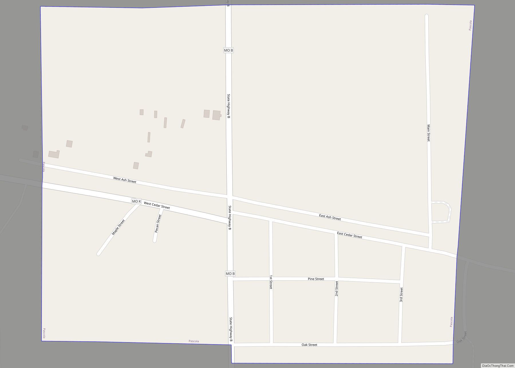
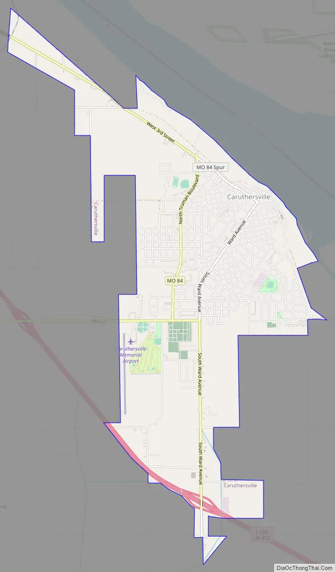
Caruthersville Road Map
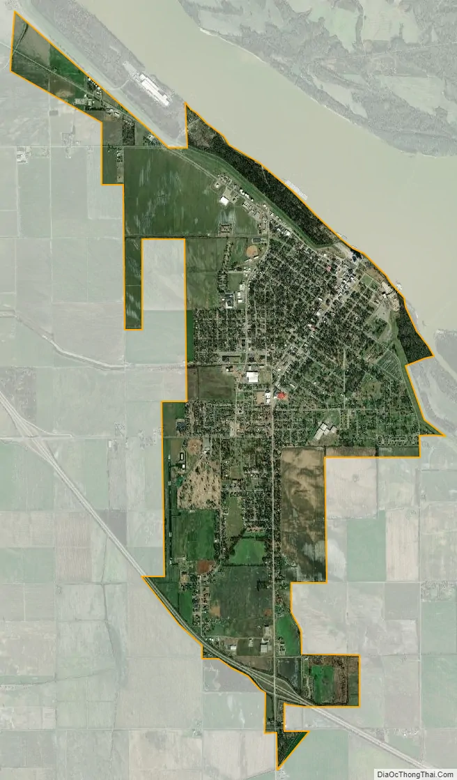
Caruthersville city Satellite Map
Geography
The city is located in the state’s Bootheel, along the western bank of the Mississippi River and within the seismically active New Madrid Seismic Zone. The Caruthersville Bridge is the only bridge crossing the river between Cairo, Illinois and Memphis, Tennessee.
According to the United States Census Bureau, the city has a total area of 5.24 square miles (13.57 km), of which 5.16 square miles (13.36 km) is land and 0.08 square miles (0.21 km) is water.
Climate
The climate in this area is characterized by hot, humid summers and generally mild to cool winters. According to the Köppen Climate Classification system, Caruthersville has a humid subtropical climate, abbreviated “Cfa” on climate maps.
See also
Map of Missouri State and its subdivision:- Adair
- Andrew
- Atchison
- Audrain
- Barry
- Barton
- Bates
- Benton
- Bollinger
- Boone
- Buchanan
- Butler
- Caldwell
- Callaway
- Camden
- Cape Girardeau
- Carroll
- Carter
- Cass
- Cedar
- Chariton
- Christian
- Clark
- Clay
- Clinton
- Cole
- Cooper
- Crawford
- Dade
- Dallas
- Daviess
- De Kalb
- Dent
- Douglas
- Dunklin
- Franklin
- Gasconade
- Gentry
- Greene
- Grundy
- Harrison
- Henry
- Hickory
- Holt
- Howard
- Howell
- Iron
- Jackson
- Jasper
- Jefferson
- Johnson
- Knox
- Laclede
- Lafayette
- Lawrence
- Lewis
- Lincoln
- Linn
- Livingston
- Macon
- Madison
- Maries
- Marion
- McDonald
- Mercer
- Miller
- Mississippi
- Moniteau
- Monroe
- Montgomery
- Morgan
- New Madrid
- Newton
- Nodaway
- Oregon
- Osage
- Ozark
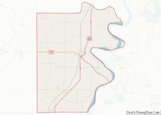
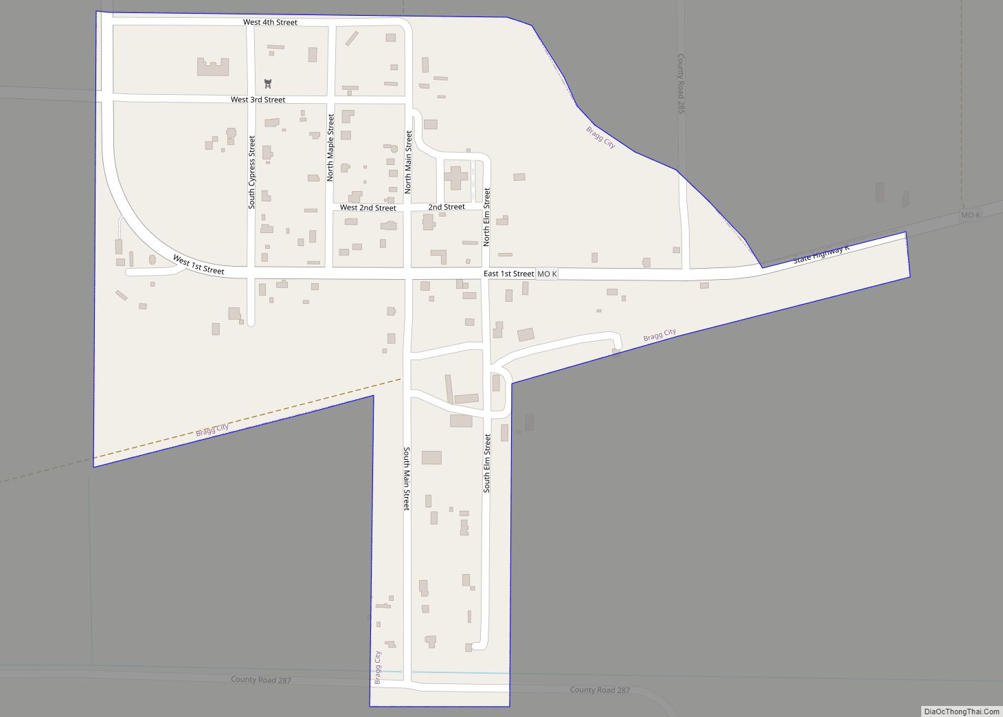
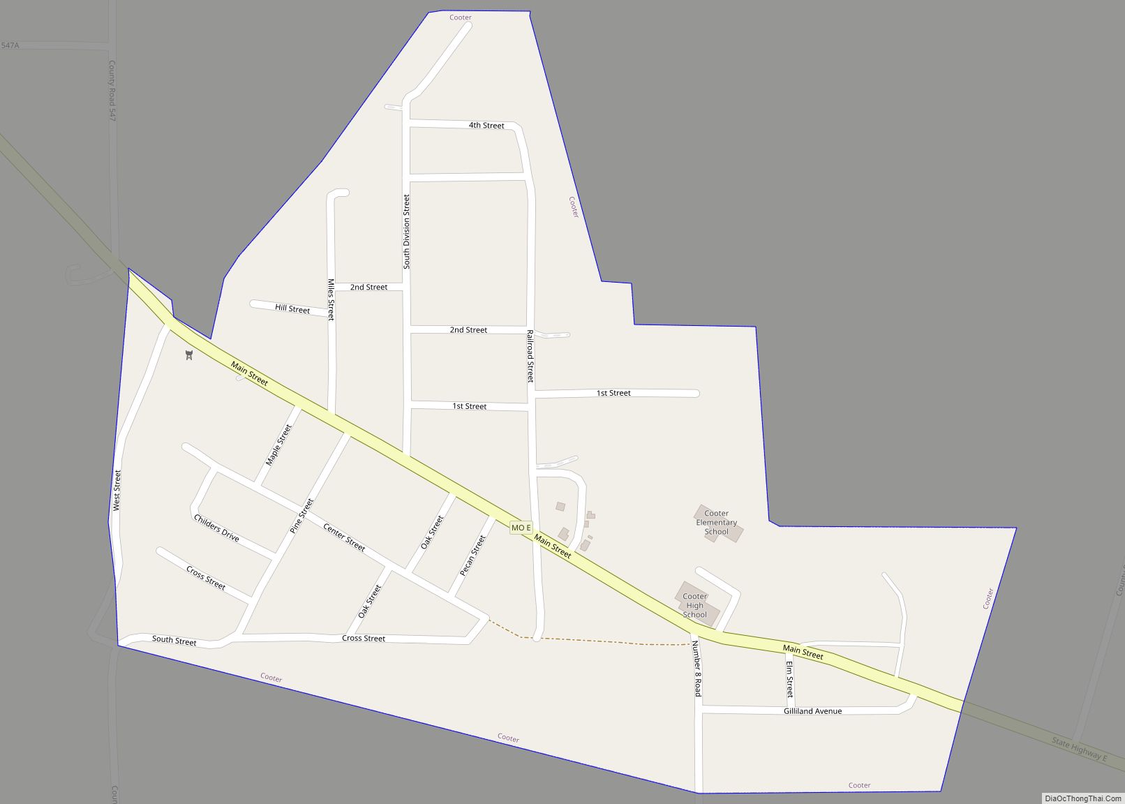
- Pemiscot
- Perry
- Pettis
- Phelps
- Pike
- Platte
- Polk
- Pulaski
- Putnam
- Ralls
- Randolph
- Ray
- Reynolds
- Ripley
- Saint Charles
- Saint Clair
- Saint Francois
- Saint Louis
- Sainte Genevieve
- Saline
- Schuyler
- Scotland
- Scott
- Shannon
- Shelby
- Stoddard
- Stone
- Sullivan
- Taney
- Texas
- Vernon
- Warren
- Washington
- Wayne
- Webster
- Worth
- Wright
- Alabama
- Alaska
- Arizona
- Arkansas
- California
- Colorado
- Connecticut
- Delaware
- District of Columbia
- Florida
- Georgia
- Hawaii
- Idaho
- Illinois
- Indiana
- Iowa
- Kansas
- Kentucky
- Louisiana
- Maine
- Maryland
- Massachusetts
- Michigan
- Minnesota
- Mississippi
- Missouri
- Montana
- Nebraska
- Nevada
- New Hampshire
- New Jersey
- New Mexico
- New York
- North Carolina
- North Dakota
- Ohio
- Oklahoma
- Oregon
- Pennsylvania
- Rhode Island
- South Carolina
- South Dakota
- Tennessee
- Texas
- Utah
- Vermont
- Virginia
- Washington
- West Virginia
- Wisconsin
- Wyoming