Perry County is a county located in the central portion of the U.S. state of Alabama. As of the 2020 census, the population was 8,511. Its county seat is Marion. The county was established in 1819 and is named in honor of Commodore Oliver Hazard Perry of Rhode Island and the United States Navy. Perry County is the only county in Alabama, and one of 40 in the United States, not to have access to any wired broadband connections.
| Name: | Perry County |
|---|---|
| FIPS code: | 01-105 |
| State: | Alabama |
| Founded: | December 13, 1819 |
| Named for: | Oliver Hazard Perry |
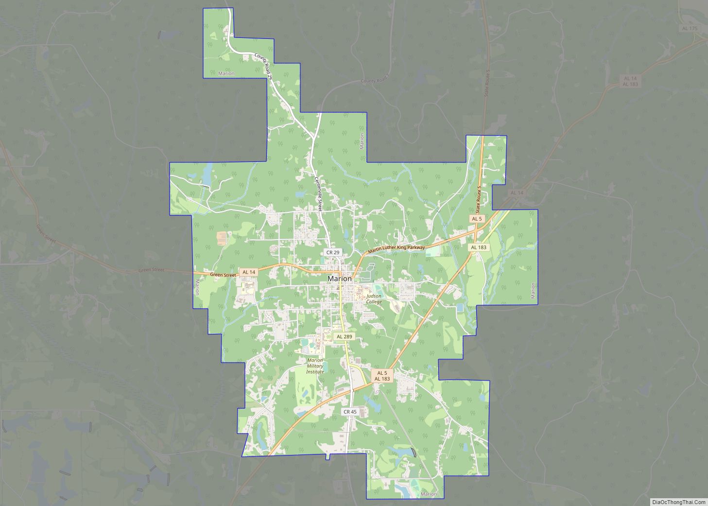
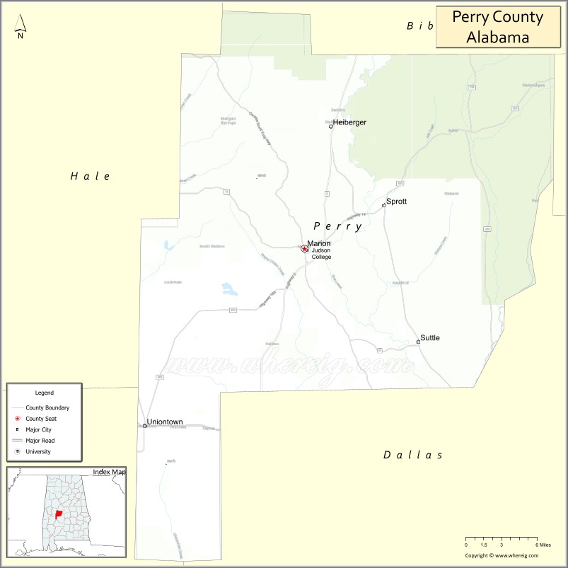
| Seat: | Marion |
| Largest city: | Marion |
| Total Area: | 724 sq mi (1,880 km²) |
| Land Area: | 720 sq mi (1,900 km²) |
| Total Population: | 8,511 |
| Population Density: | 12/sq mi (4.5/km²) |
| Time zone: | UTC−6 (Central) |
| Summer Time Zone (DST): | UTC−5 (CDT) |
| Website: | www.perrysheriff.com |
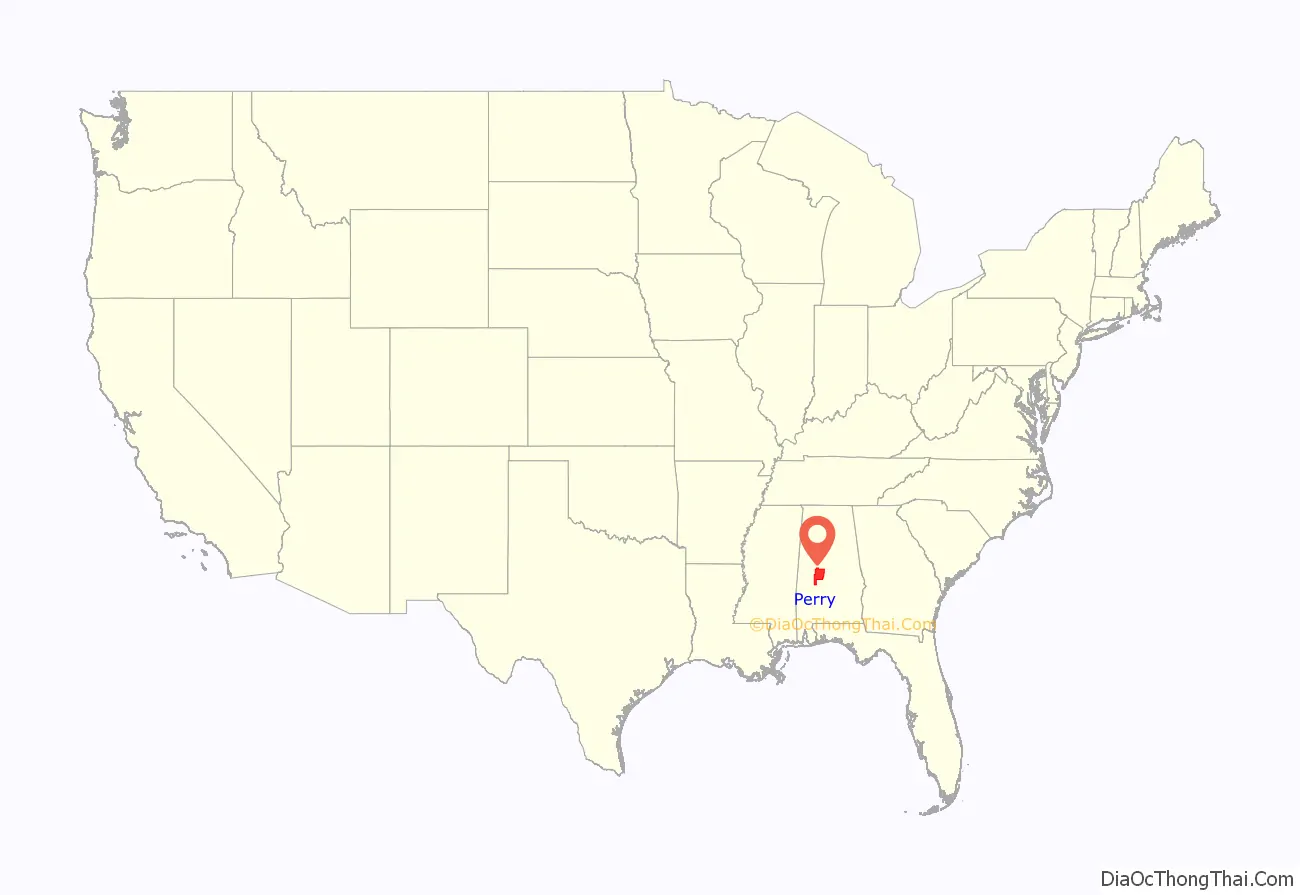
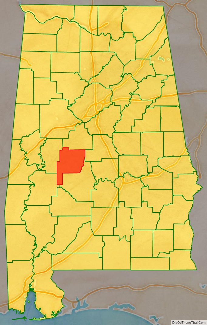
Perry County location map. Where is Perry County?
History
In 1935, a sharecropper called Joe Spinner Johnson was organizing sharecroppers into a union. His landlord called him away from his job, and gave him up to a gang of whites. They tied him up, beat him, and took him to Selma, where he was thrown in jail. Other prisoners heard him screaming and being beaten. A few days later, his mutilated body turned up near Greensboro.
The Perry County town of Marion was the site of a 1965 killing of an unarmed Black man, Jimmie Lee Jackson, by a white state trooper, James Bonard Fowler, which sparked the Selma to Montgomery marches. In 2008, the county voted to establish a Barack Obama Day, a legal holiday, every second Monday of November.
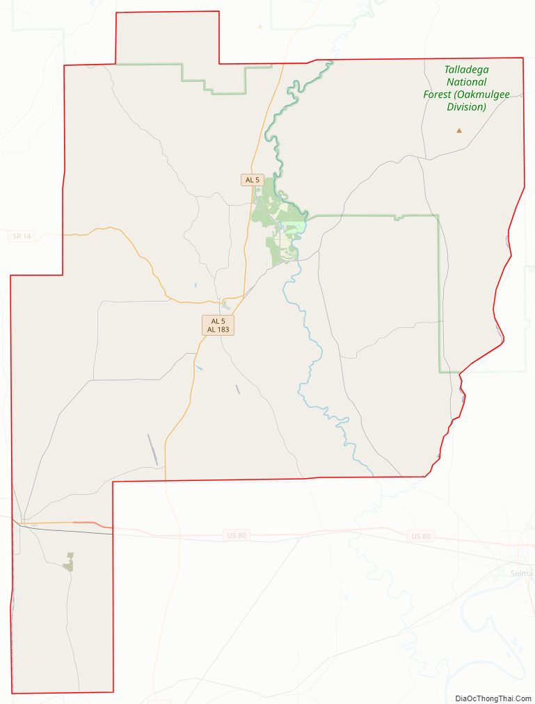
Perry County Road Map
Geography
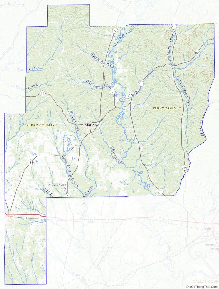
According to the United States Census Bureau, the county has a total area of 724 square miles (1,880 km), of which 720 square miles (1,900 km) is land and 4.2 square miles (11 km) (0.6%) is water. The county boasts a diverse geography, with the southern half of the county being located in the Gulf Coastal Plain region, and the northern half of the county being located in the far southern extensions of the foothills of the Ridge-and-Valley Appalachians. This area is mainly forested, with some hills and valleys.
Major highways
- U.S. Highway 80
- State Route 5
- State Route 14
- State Route 61
- State Route 175
- State Route 183
- State Route 219
- State Route 289
Adjacent counties
- Bibb County (north)
- Chilton County (northeast)
- Dallas County (east)
- Marengo County (southwest)
- Hale County (west)
National protected area
- Talladega National Forest (part)
Perry County Topographic Map
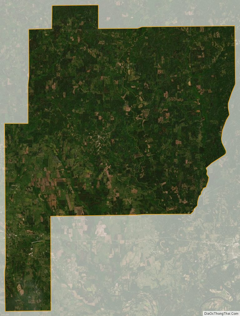
Perry County Satellite Map
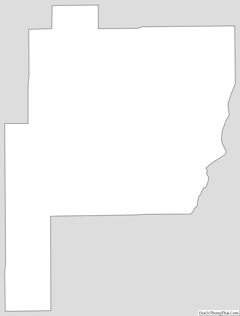
Perry County Outline Map