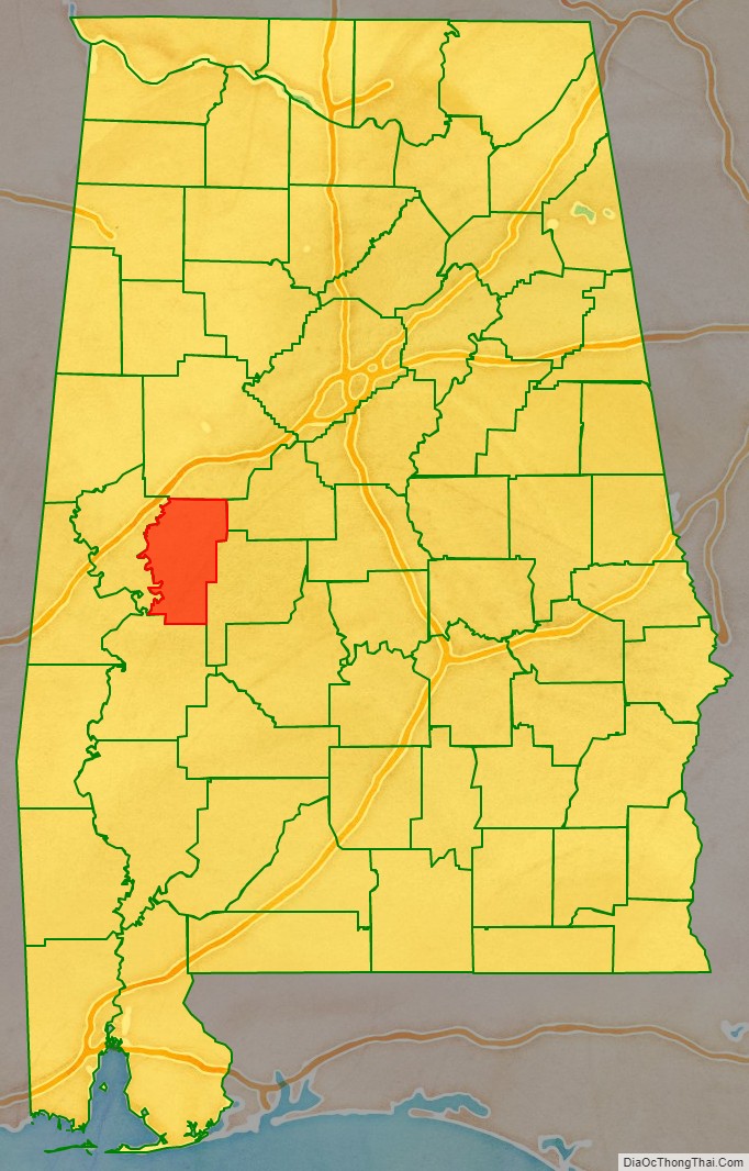
Hale County is a county located in the west central portion of the U.S. state of Alabama. As of the 2020 census, the population was 14,785. Its county seat is Greensboro. It is named in honor of Confederate officer Stephen Fowler Hale.
Hale County is part of the Tuscaloosa, AL Metropolitan Statistical Area.
| Name: | Hale County |
|---|---|
| FIPS code: | 01-065 |
| State: | Alabama |
| Founded: | January 30, 1867 |
| Named for: | Stephen F. Hale |
| Seat: | Greensboro |
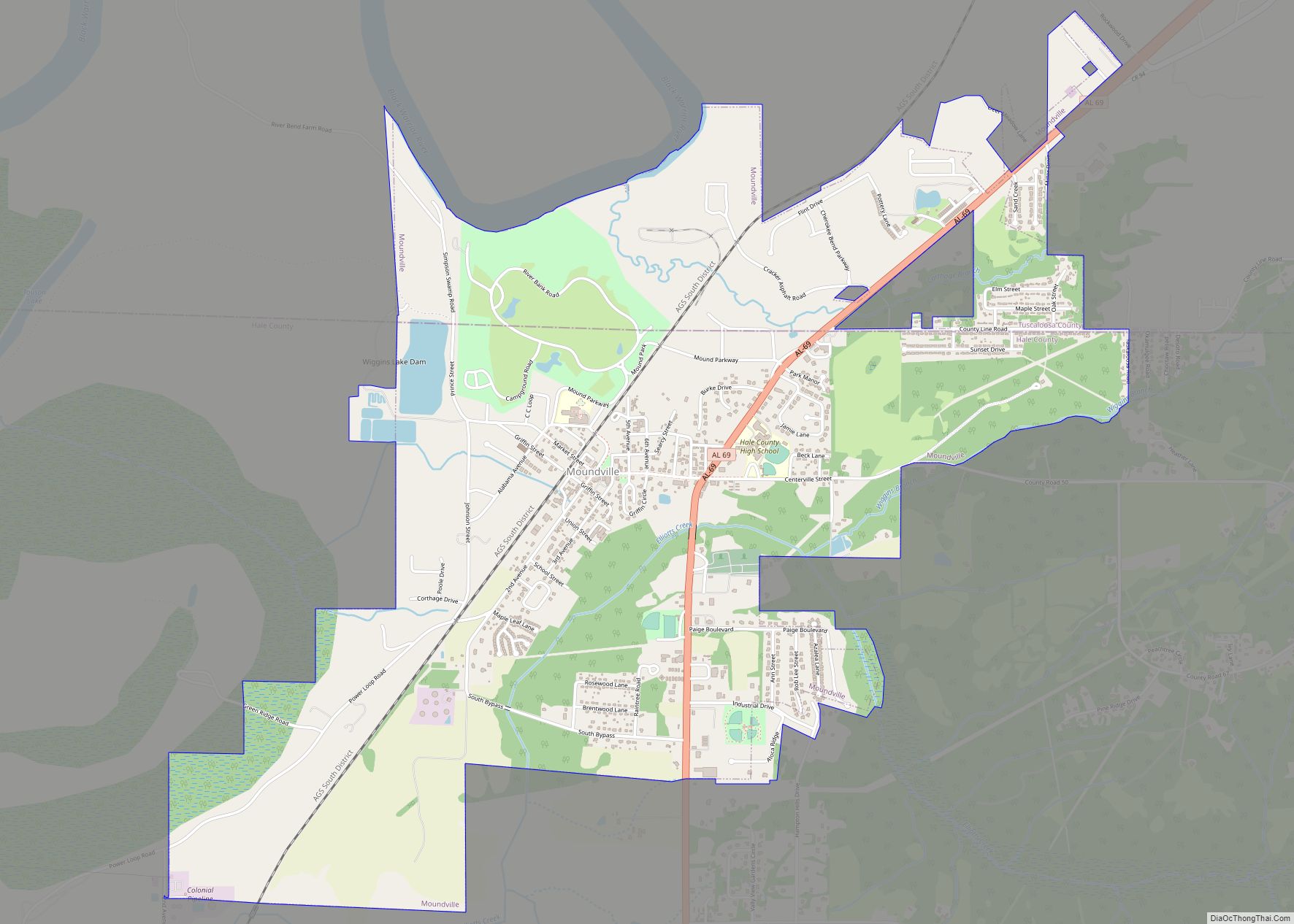
| Largest city: | Moundville |
| Total Area: | 657 sq mi (1,700 km²) |
| Land Area: | 644 sq mi (1,670 km²) |
| Total Population: | 14,785 |
| Population Density: | 23/sq mi (8.7/km²) |
| Time zone: | UTC−6 (Central) |
| Summer Time Zone (DST): | UTC−5 (CDT) |
| Website: | www.halecountyal.com |
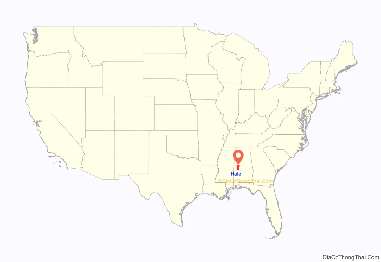
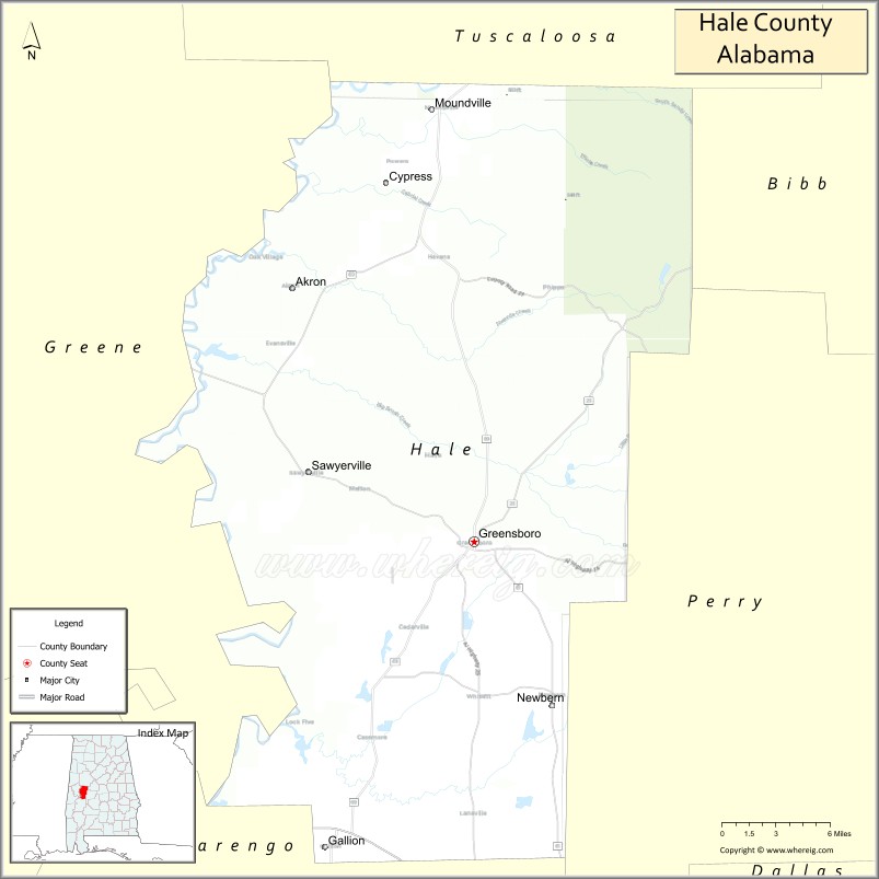
Hale County location map. Where is Hale County?
History
Hale County was established following the end of the American Civil War, on January 30, 1867. Located in the west-central section of the state, it was created from portions of Greene, Marengo, Perry, and Tuscaloosa counties. The vast majority of the territory came from Greene County. The first American settlers in this area had been southerners migrating from Georgia, Tennessee, Kentucky, and the Carolinas.
Hale County is connected to three major twentieth-century artists: Walker Evans photographed the area in 1936 while he collaborated with James Agee on the 1941 book Let Us Now Praise Famous Men. Since the 1960s, artist William Christenberry, born in Tuscaloosa, has been photographing various structures in Hale County as part of his multi-media artistic investigations. More recently, Hale County has become the home of the nationally recognized Auburn University Rural Studio, an architectural outreach program founded by architect and artist Samuel Mockbee and D. K. Ruth. It is also the birthplace of Eugene Sawyer, the second African American mayor of Chicago. In 2019 the film Hale County This Morning, This Evening by artist RaMell Ross was nominated for an Academy Award for Best Documentary Feature, poetically addressing the region’s shift in demographics and the power of intra-community authorship.
Since the American Civil War, whites have controlled much of the economic and political power in Hale County, enforced early by violence and later by the decades of disenfranchisement of black voters and statewide imposition of Jim Crow. In the first half of the 20th century, many African Americans left the county in two waves of migration to cities and northern and western industrial centers. Beginning in the late 1960s, they recovered the ability to vote.
In 1997, after a highly contested mayoral election, the city of Greensboro elected its first black mayor, John E. Owens Jr. Claude Hamilton, the first African-American chief of police, was appointed in 2000. In 2006, black and white county residents joined in electing the first black county sheriff, Kenneth W. Ellis, who was formerly the Moundville police chief.
Hale County has suffered economic decline, particularly in the southern more rural end of the county. Many manufacturing plants closed during late 20th century restructuring, and population and businesses declined with the loss of jobs, especially in and around Greensboro (the county seat). The northern portion of the county, however, has enjoyed population and industrial growth due to its proximity to Tuscaloosa County. The latter has been a growing center of industry and new businesses, anchored by the University of Alabama and its large student body and resources.
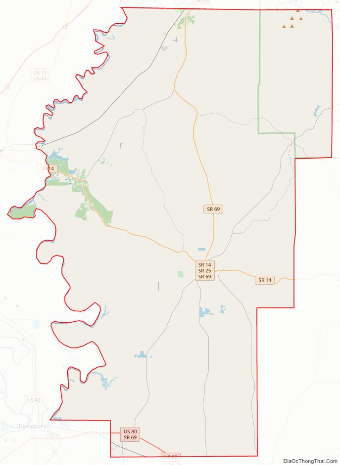
Hale County Road Map
Geography
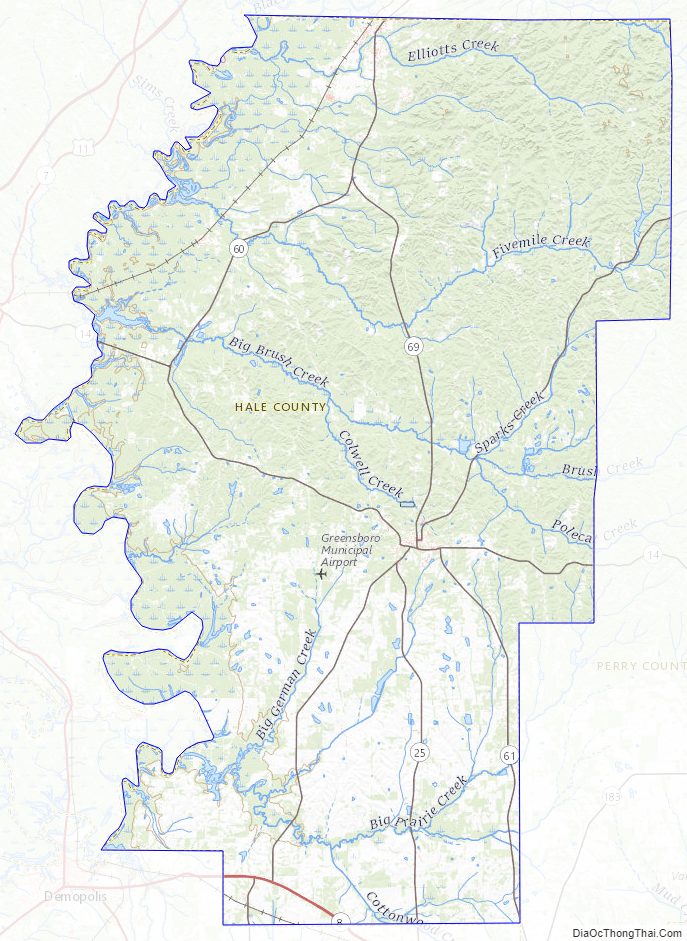
According to the United States Census Bureau, the county has a total area of 657 square miles (1,700 km), of which 644 square miles (1,670 km) is land and 13 square miles (34 km) (1.9%) is water.
Adjacent counties
- Tuscaloosa County (north)
- Bibb County (northeast)
- Perry County (southeast)
- Marengo County (south)
- Greene County (west)
National protected area
- Talladega National Forest (part)
Hale County Topographic Map
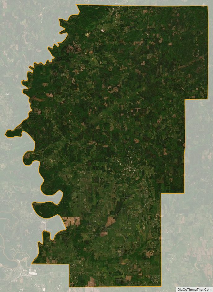
Hale County Satellite Map
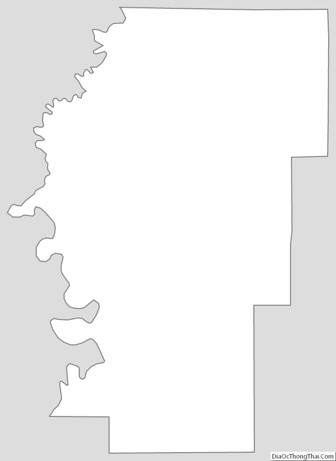
Hale County Outline Map