Greensboro is a city in Hale County, Alabama, United States. At the 2010 census the population was 2,497, down from 2,731 at the 2000 census. The city is the county seat of Hale County, Alabama, which was not organized until 1867. It is part of the Tuscaloosa, Alabama Metropolitan Statistical Area.
| Name: | Greensboro city |
|---|---|
| LSAD Code: | 25 |
| LSAD Description: | city (suffix) |
| State: | Alabama |
| County: | Hale County |
| Elevation: | 282 ft (86 m) |
| Total Area: | 2.39 sq mi (6.18 km²) |
| Land Area: | 2.38 sq mi (6.16 km²) |
| Water Area: | 0.01 sq mi (0.02 km²) |
| Total Population: | 2,218 |
| Population Density: | 933.11/sq mi (360.25/km²) |
| ZIP code: | 36744 |
| Area code: | 334 |
| FIPS code: | 0131720 |
| GNISfeature ID: | 0157974 |
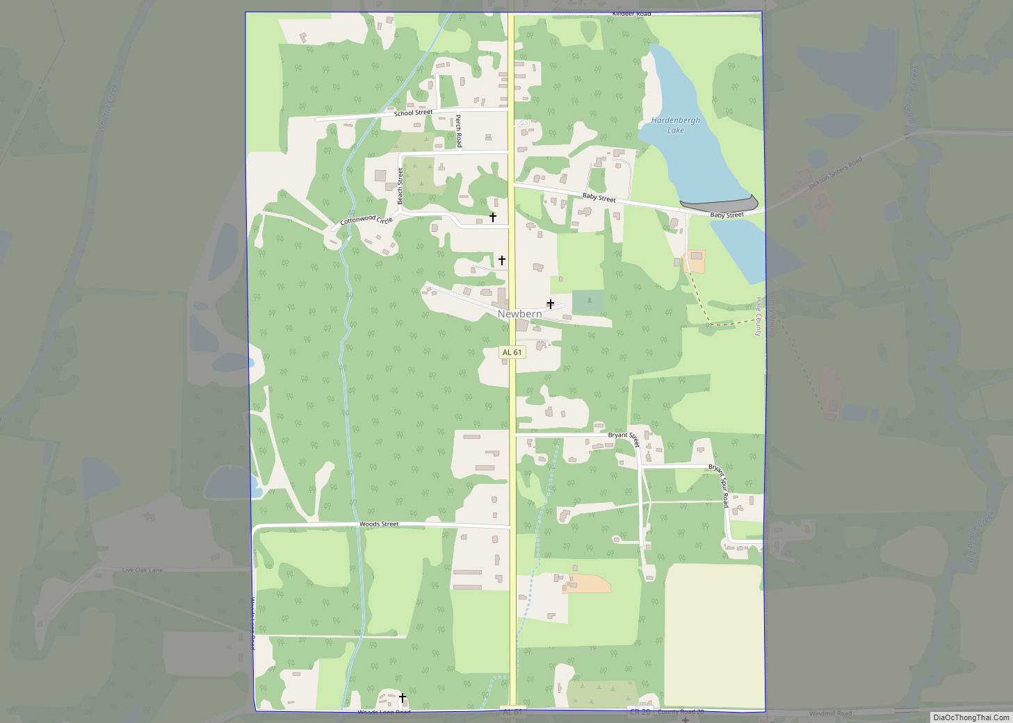
Online Interactive Map
Click on ![]() to view map in "full screen" mode.
to view map in "full screen" mode.
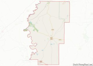
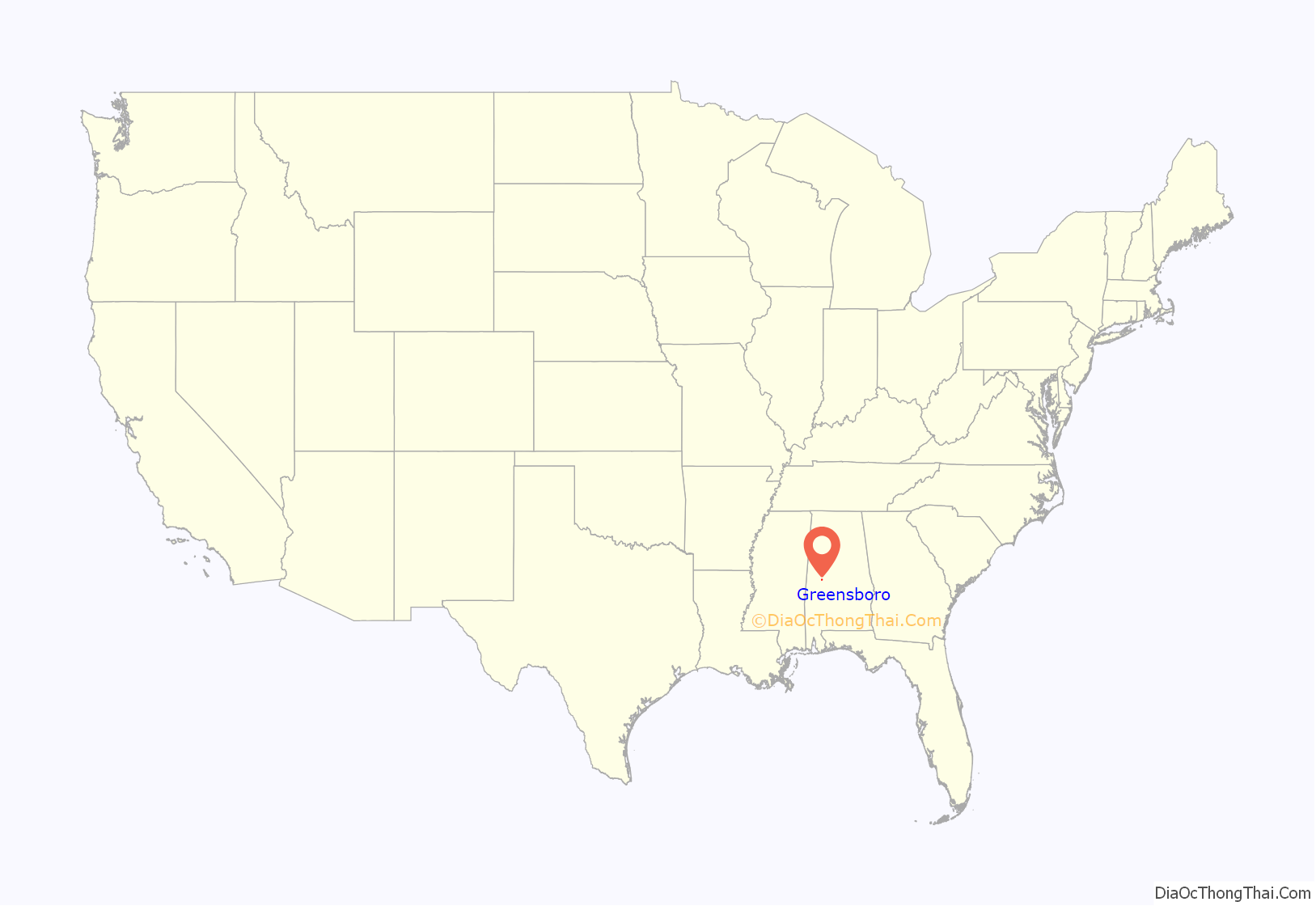
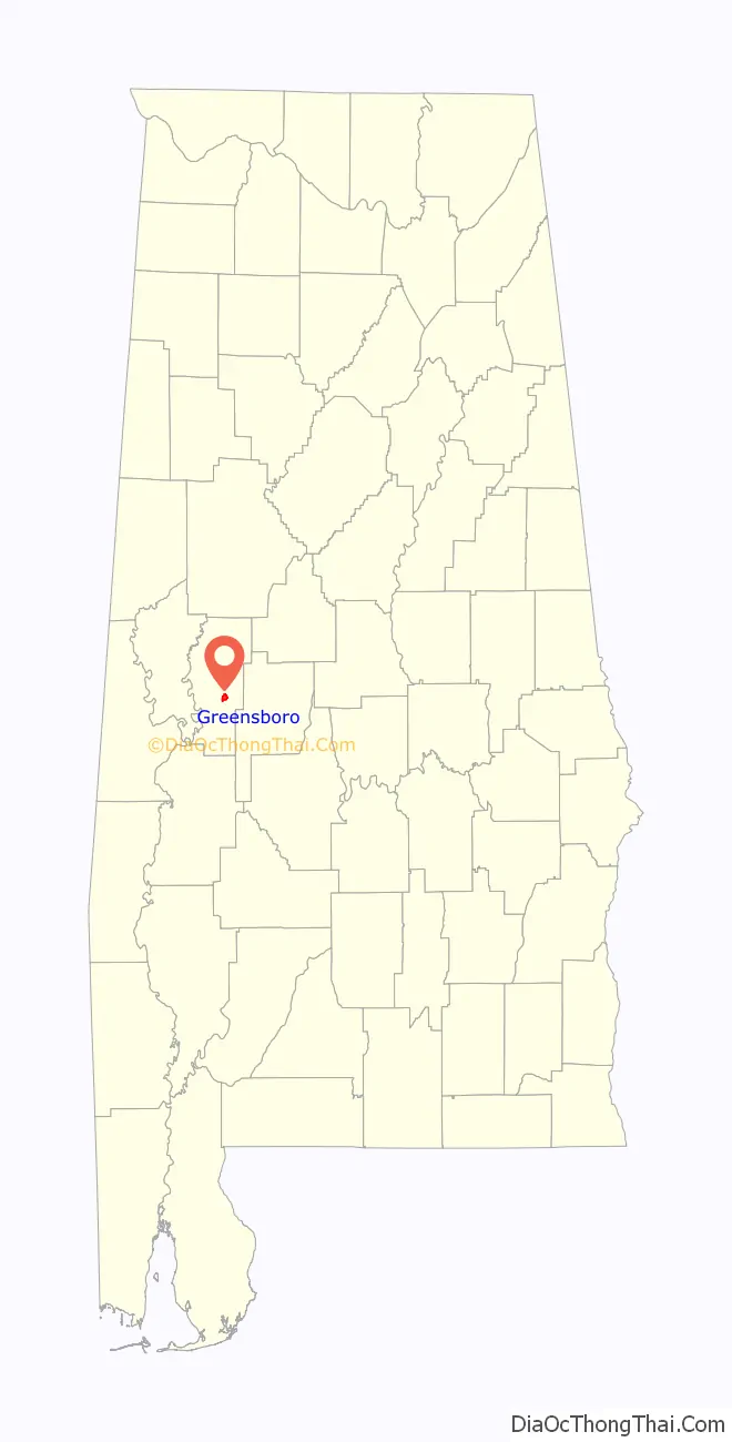
Greensboro location map. Where is Greensboro city?
History
Greensboro was incorporated as a town in December 1823 as “Greensborough”. It was named in honor of American Revolutionary War general Nathanael Greene. The name was soon simplified to “Greensboro”. The community was known as “Troy” prior to incorporation.
Reflecting the history of the antebellum years and a culture built on cotton plantations to produce the commodity crop, several sites on the National Register of Historic Places in or near Greensboro are connected to this past. These include Glencairn, the Greensboro Historic District, Magnolia Grove, the McGehee-Stringfellow House, Millwood, and the Payne House.
One hundred years later, African Americans in Greensboro were among those in the state continuing to work to regain their civil rights after years of second-class status under Jim Crow. Rev. Martin Luther King Jr., leader of the Southern Christian Leadership Conference, came here in the course of his civil rights projects in the state. In 1968, he hid from Ku Klux Klan members in what is now operated as the Safe House Black Historic Museum.
The southern part of the city was heavily damaged by a low-end EF2 tornado on January 12, 2023.
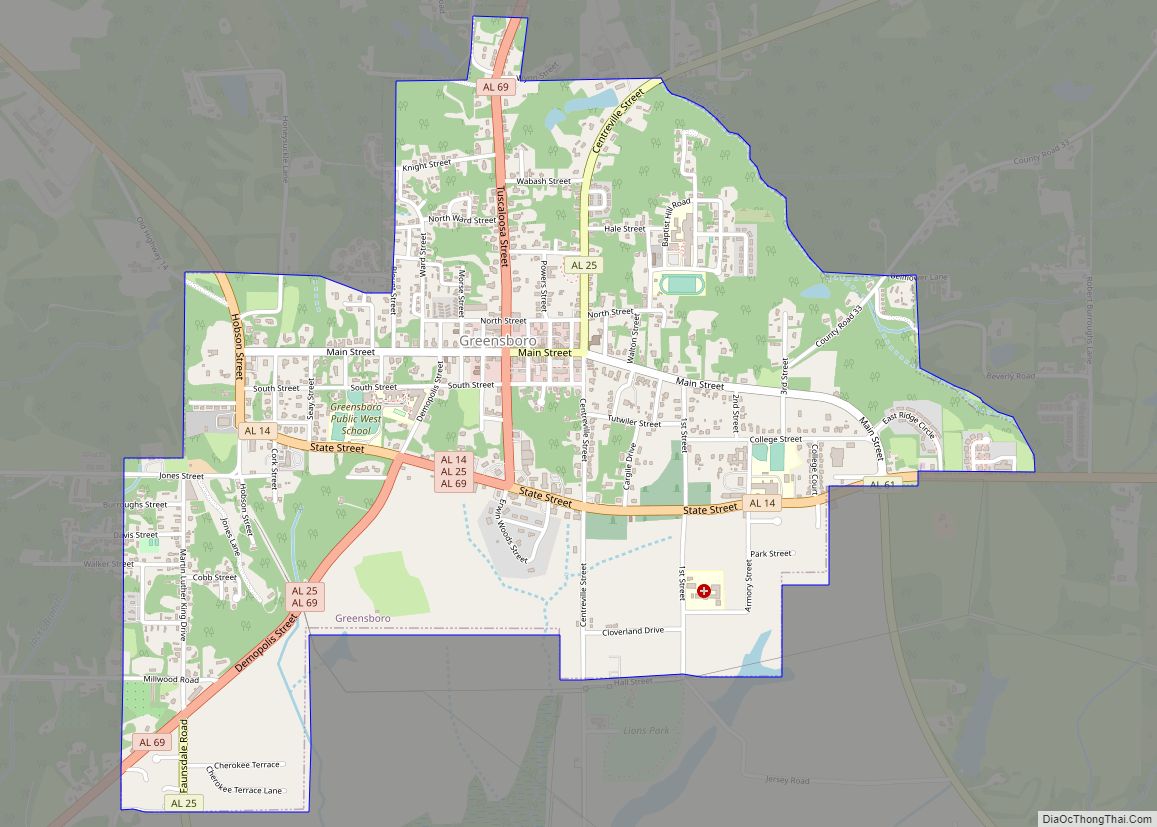
Greensboro Road Map
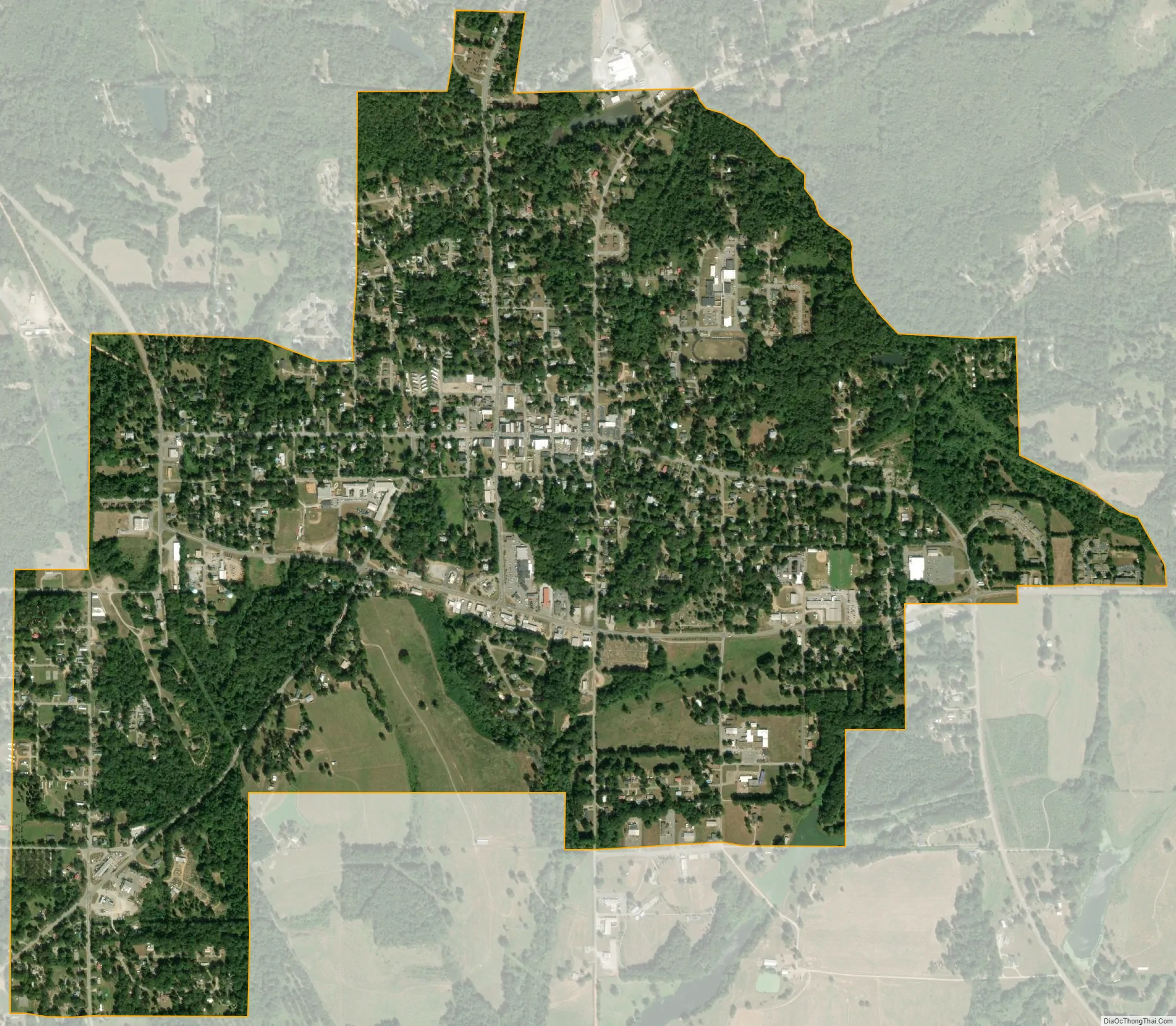
Greensboro city Satellite Map
Geography
Greensboro is slightly southeast of the center of Hale County and is crossed by Alabama State Routes 14, 25, and 69. SR 14 leads northwest 21 miles (34 km) to Eutaw and east 19 miles (31 km) to Marion. SR 25 leads northeast through Talladega National Forest 36 miles (58 km) to Brent and south 32 miles (51 km) to Thomaston. SR 69 leads north 38 miles (61 km) to Tuscaloosa and southwest 33 miles (53 km) to Linden. Demopolis is 25 miles (40 km) to the southwest via SR 69 and U.S. Route 80.
According to the U.S. Census Bureau, Greensboro has a total area of 2.4 square miles (6.2 km), of which 0.01 square miles (0.02 km), or 0.40%, are water.
Climate
The climate in this area is characterized by hot, humid summers and generally mild to cool winters. According to the Köppen Climate Classification system, Greensboro has a humid subtropical climate, abbreviated “Cfa” on climate maps.
See also
Map of Alabama State and its subdivision:- Autauga
- Baldwin
- Barbour
- Bibb
- Blount
- Bullock
- Butler
- Calhoun
- Chambers
- Cherokee
- Chilton
- Choctaw
- Clarke
- Clay
- Cleburne
- Coffee
- Colbert
- Conecuh
- Coosa
- Covington
- Crenshaw
- Cullman
- Dale
- Dallas
- De Kalb
- Elmore
- Escambia
- Etowah
- Fayette
- Franklin
- Geneva
- Greene
- Hale
- Henry
- Houston
- Jackson
- Jefferson
- Lamar
- Lauderdale
- Lawrence
- Lee
- Limestone
- Lowndes
- Macon
- Madison
- Marengo
- Marion
- Marshall
- Mobile
- Monroe
- Montgomery
- Morgan
- Perry
- Pickens
- Pike
- Randolph
- Russell
- Saint Clair
- Shelby
- Sumter
- Talladega
- Tallapoosa
- Tuscaloosa
- Walker
- Washington
- Wilcox
- Winston
- Alabama
- Alaska
- Arizona
- Arkansas
- California
- Colorado
- Connecticut
- Delaware
- District of Columbia
- Florida
- Georgia
- Hawaii
- Idaho
- Illinois
- Indiana
- Iowa
- Kansas
- Kentucky
- Louisiana
- Maine
- Maryland
- Massachusetts
- Michigan
- Minnesota
- Mississippi
- Missouri
- Montana
- Nebraska
- Nevada
- New Hampshire
- New Jersey
- New Mexico
- New York
- North Carolina
- North Dakota
- Ohio
- Oklahoma
- Oregon
- Pennsylvania
- Rhode Island
- South Carolina
- South Dakota
- Tennessee
- Texas
- Utah
- Vermont
- Virginia
- Washington
- West Virginia
- Wisconsin
- Wyoming