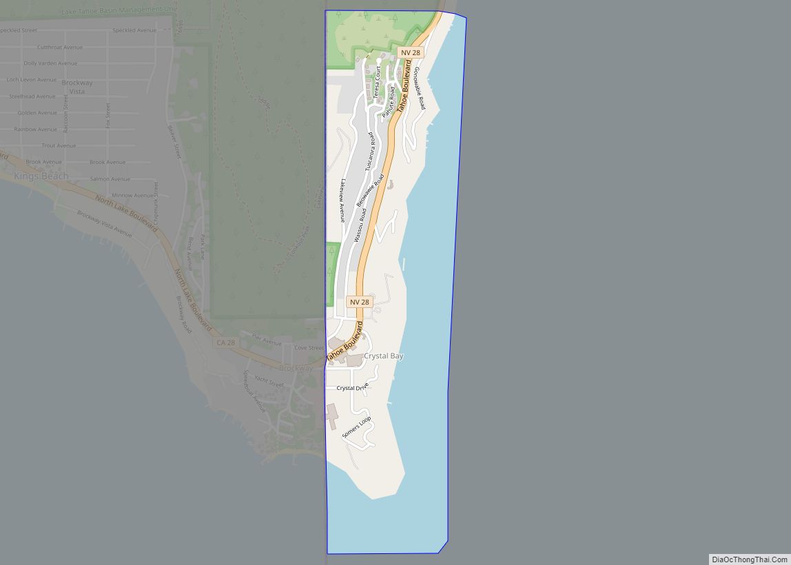
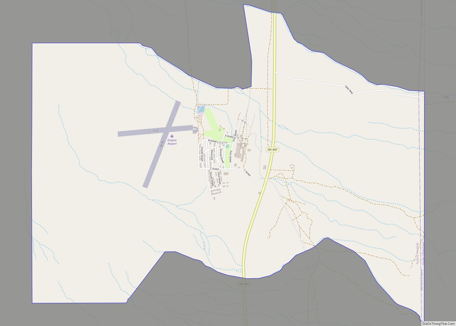
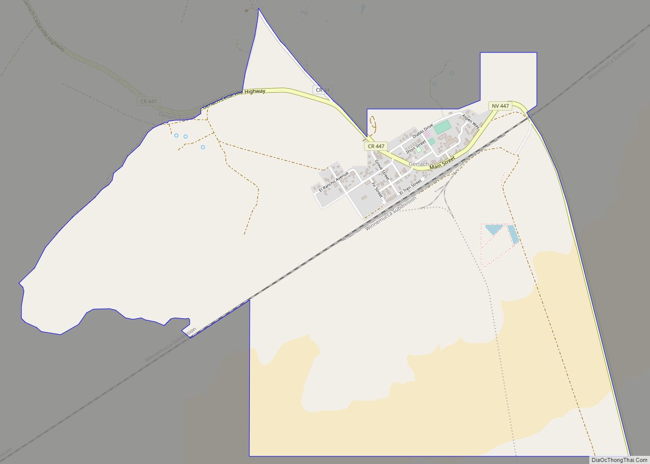
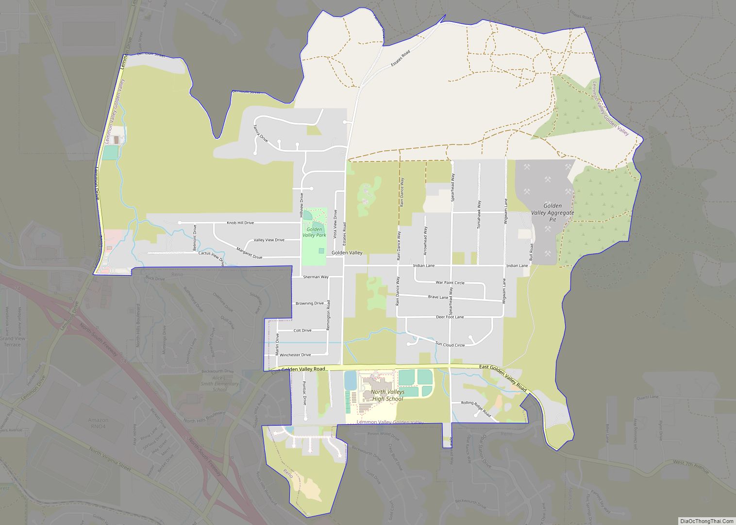
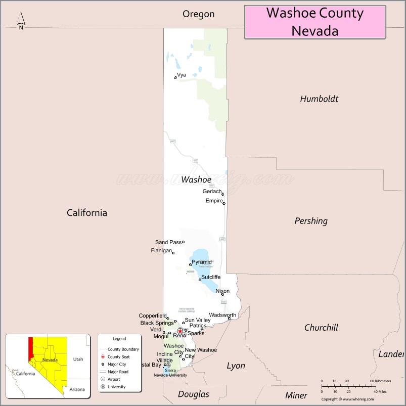
Washoe County (/ˈwɒʃoʊ/) is a county in the U.S. state of Nevada. As of the 2020 census, the population was 486,492, making it Nevada’s second-most populous county. Its county seat is Reno. Washoe County is included in the Reno, NV Metropolitan Statistical Area.
| Name: | Washoe County |
|---|---|
| FIPS code: | 32-031 |
| State: | Nevada |
| Founded: | November 25, 1861 |
| Named for: | Washoe people |
| Seat: | Reno |
| Largest city: | Reno |
| Total Area: | 6,542 sq mi (16,940 km²) |
| Land Area: | 6,302 sq mi (16,320 km²) |
| Total Population: | 486,492 |
| Population Density: | 74/sq mi (29/km²) |
| Time zone: | UTC−8 (Pacific) |
| Summer Time Zone (DST): | UTC−7 (PDT) |
| Website: | washoecounty.us |
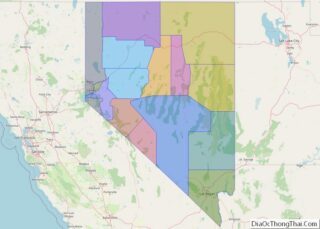
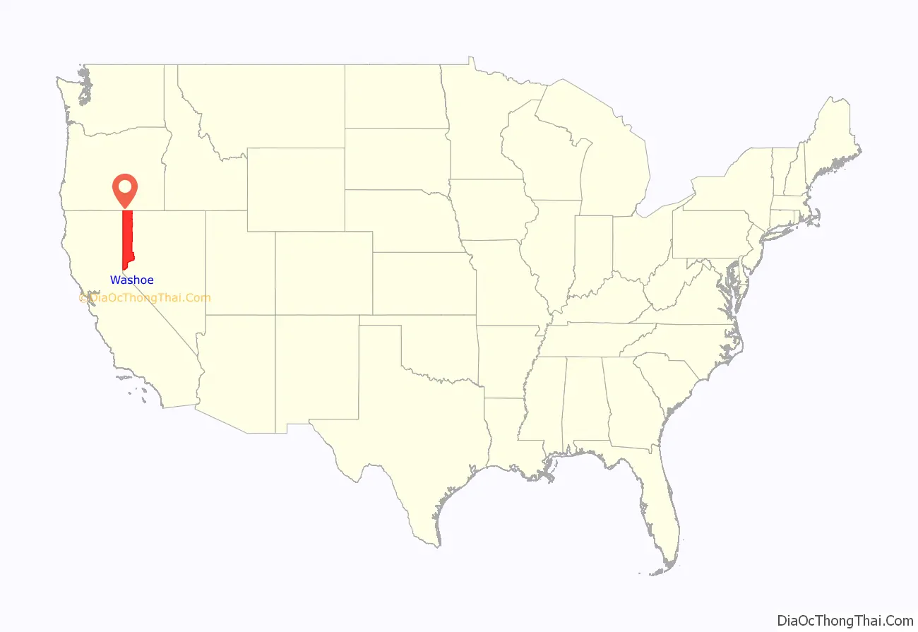
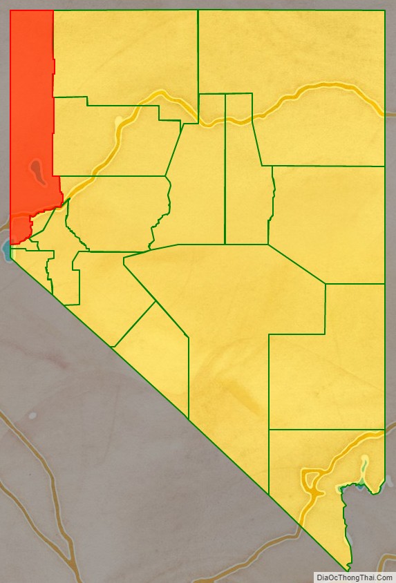
Washoe County location map. Where is Washoe County?
History
Washoe County was created on November 25, 1861, as one of the original nine counties of the Nevada Territory. It is named after the Washoe people who originally inhabited the area. It was consolidated with Roop County in 1864. Washoe City was the first county seat in 1861 and was replaced by Reno in 1871.
In 1911, a small band of Shoshone and Bannock led by Mike Daggett killed four stockmen in Washoe County. A posse was formed, and on February 26, 1911, at the Battle of Kelley Creek, eight of Daggett’s band were killed, along with one member of the posse, Ed Hogle. Three children and a woman who survived the battle were captured. The remains of some of the members of the band were repatriated from the Smithsonian Institution to the Fort Hall Idaho Shoshone-Bannock Tribe in 1994.
In 1918, Washoe County elected the first woman elected to the Nevada Legislature, Sadie Hurst, a Republican.
As of 2013, “Washoe County is the first school district in the state to offer Paiute classes,” offering an elective course in the Paiute language at Spanish Springs High School and North Valleys High School.
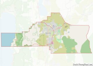
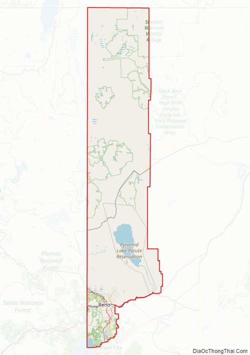
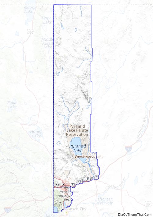
Washoe County Road Map
Geography
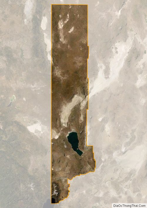
According to the U.S. Census Bureau, the county has a total area of 6,542 square miles (16,940 km), of which 6,302 square miles (16,320 km) is land and 240 square miles (620 km) (3.7%) is water. The highest point in Washoe County is Mount Rose at 10,785 ft (3,287 m), while the most topographically prominent peak is Virginia Peak.
There are two incorporated cities within the county, namely Reno and Sparks. In 2010, there was a ballot question asking whether the Reno city government and the Washoe County government should become one combined governmental body. According to unofficial results the day after the election, 54% of voters approved of the ballot measure to consolidate the governments.
The Truckee Meadows of Washoe County starts at the furthest southern runway of Reno Tahoe International Airport, GPS Coordinates 39.468836,-119.770912 and runs south east. Rattle Snake Mountain at Huffaker Park, follows the span of Steamboat Creek to the southern east end of Washoe County. This is the last of the range/prairie and wild grass water shed from the eastern range of the Reno Tahoe basin.
Adjacent counties
- Lake County, Oregon – north
- Harney County, Oregon – northeast
- Humboldt County – east
- Pershing County – east
- Churchill County – east
- Lyon County – southeast
- Storey County – south
- Carson City – south
- Placer County, California – southwest
- Nevada County, California – west
- Sierra County, California – west
- Lassen County, California – west
- Modoc County, California – west
Major highways
- I-80
- Interstate 80 Business (Verdi)
- Interstate 80 Business (Reno–Sparks)
- Interstate 80 Business (Wadsworth–Fernley)
- I-580
- U.S. Route 395
U.S. Route 395 Alternate
U.S. Route 395 Business (Reno)- SR 28
- SR 341
- SR 425
- SR 426
- SR 427
- SR 430
- SR 431
- SR 439
- SR 443
- SR 445
- SR 446
- SR 447
- SR 647
- SR 648
- SR 653
- SR 655
- SR 659
- SR 667
- SR 668
- SR 671
- SR 673
- SR 877
- SR 878
- SR 880
National protected areas
- Anaho Island National Wildlife Refuge
- Black Rock Desert-High Rock Canyon Emigrant Trails National Conservation Area (part)
- Sheldon National Wildlife Refuge (part)
- Toiyabe National Forest (part)
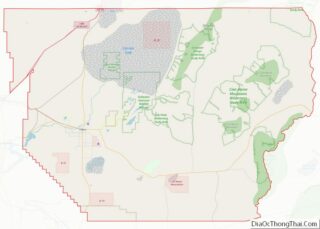
Washoe County Topographic Map
Washoe County Satellite Map
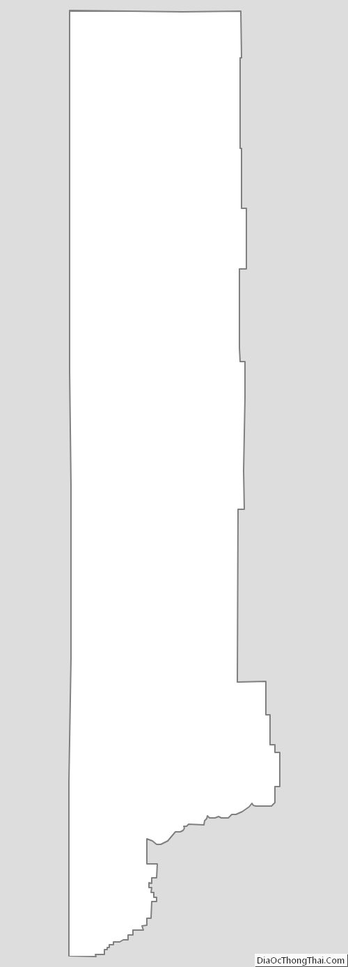
Washoe County Outline Map