Waverly (sometimes known as Waverly City) is a city in, and the county seat of, Pike County, Ohio, United States, located 14 miles south of Chillicothe. The population was 4,165 at the 2020 census. The town was formed in 1829, as the construction of the Ohio and Erie Canal along the west bank of the Scioto River brought new growth to the area. In 1861 the county seat was moved here from Piketon.
Waverly is served by the Garnet A. Wilson Public Library.
| Name: | Waverly village |
|---|---|
| LSAD Code: | 47 |
| LSAD Description: | village (suffix) |
| State: | Ohio |
| County: | Pike County |
| Total Area: | 4.22 sq mi (10.93 km²) |
| Land Area: | 4.16 sq mi (10.78 km²) |
| Water Area: | 0.06 sq mi (0.15 km²) |
| Total Population: | 4,165 |
| Population Density: | 1,000.24/sq mi (386.23/km²) |
| ZIP code: | 45690 |
| Area code: | 740 |
| FIPS code: | 3981935 |
| Website: | http://www.cityofwaverly.net/ |
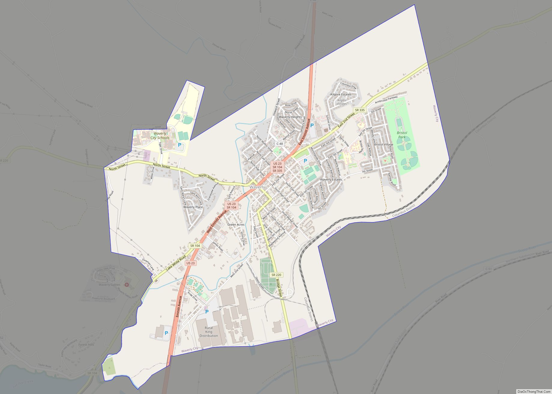
Online Interactive Map
Click on ![]() to view map in "full screen" mode.
to view map in "full screen" mode.
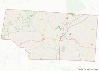
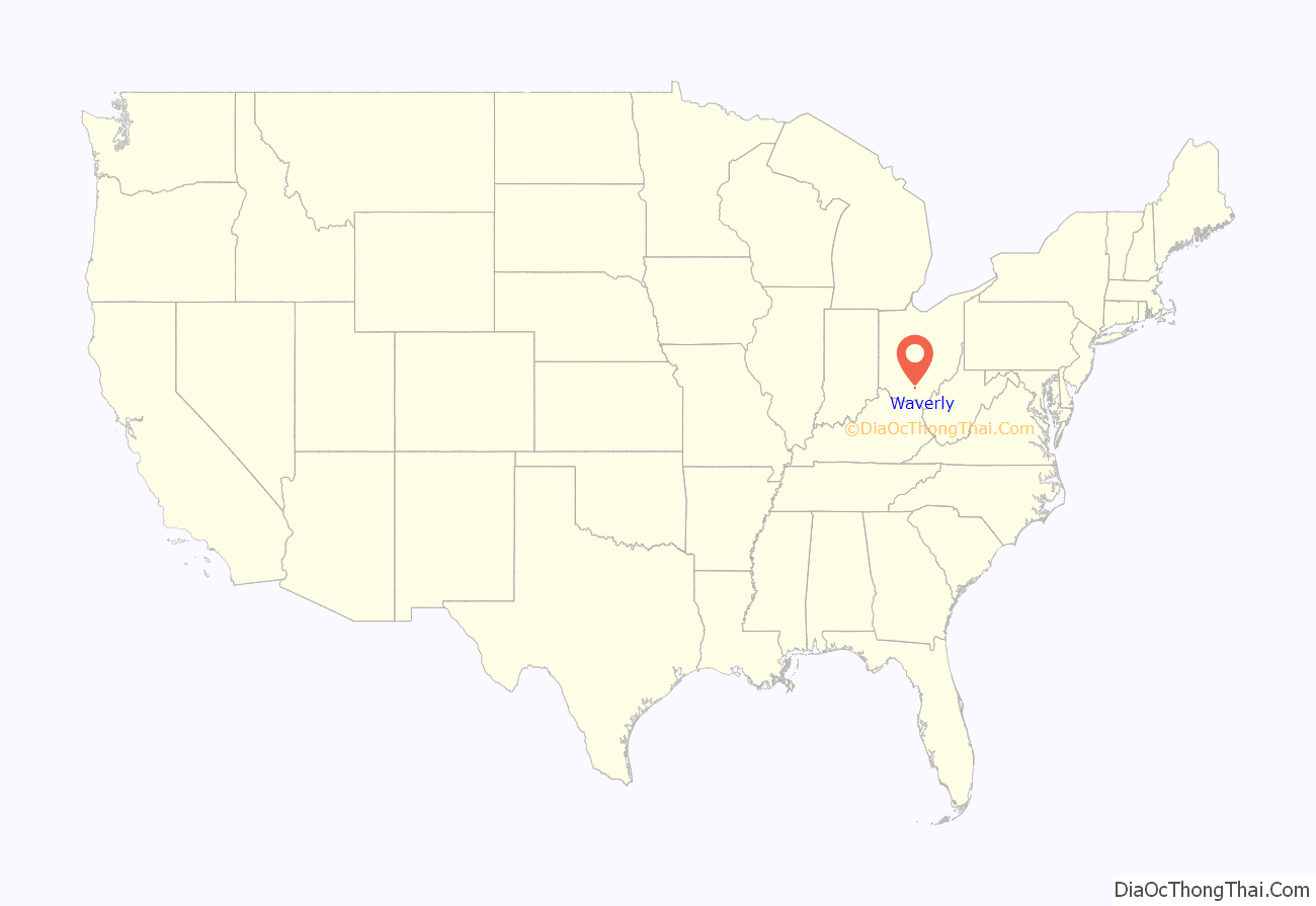
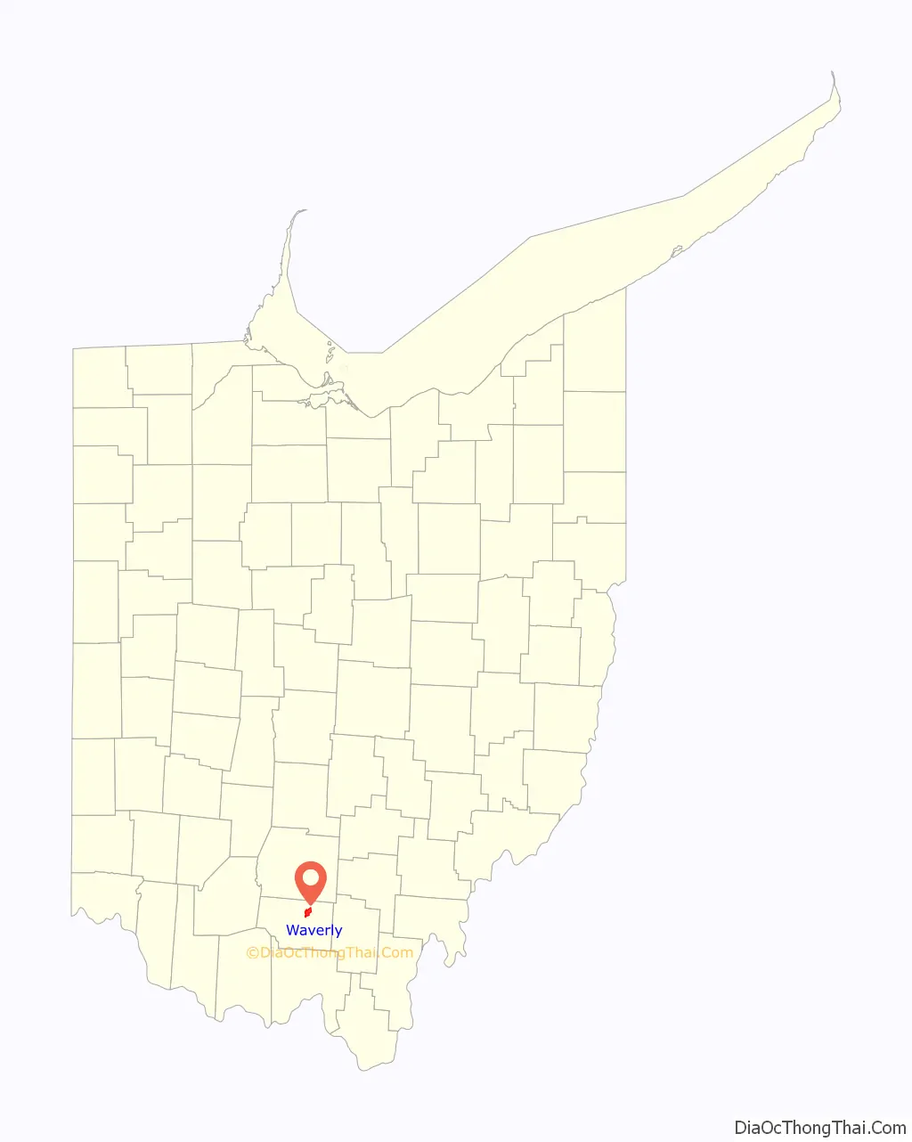
Waverly location map. Where is Waverly village?
History
First inhabitants and native cultures
Historians believe that Waverly and the surrounding areas were inhabited by nomadic people as early as 13,000 BC. The first historical evidence that can be tied to a particular culture dates back to sometime between the years 1000 and 800 BC, to the culture known as the Adena. The area around Waverly is particularly rich in Adena heritage, including a number of mounds throughout the area. The Adena were given their cognomen from Thomas Worthington’s Adena Estate near Chillicothe, where evidence of their culture was found in the early 1900s.
There is evidence pointing to the emergence of the Hopewell culture in the Waverly area beginning about 300 BC. The namesake for the Hopewell is Captain M. C. Hopewell, the owner of the Ross County farmstead where artifacts leading to the discovery of the Hopewell’s separate cultural identity were found. Both the Adena and the Hopewell are well known for their mounds, many of which still exist around southern Ohio, including several in Pike County, and just north of Waverly in Chillicothe, Ohio, where the Adena Mound is a registered historic structure. There is evidence of Hopewell in the area until about 600 AD. The cause of the demise of the Hopewell is unknown, and there is not much information available about the people immediately following them. Sometime after 1000 AD, the Fort Ancient people began to occupy southern Ohio, only to disappear in the 17th century, likely decimated by infectious diseases spread in epidemics from early European contact. Some scholars believe that the Fort Ancient people “were ancestors of the historic Shawnee people, or that, at the very least, the historic Shawnees absorbed remnants of these older peoples.”
There is a historical gap between evidence of the end of the Fort Ancient presence in the Waverly area and the beginning of the presence of the Shawnee Native American tribe. It is not known whether the Shawnee were descendants of the Fort Ancient, but there are a number of similarities between the two cultures that have led some to speculate that this is the case. There is also evidence to suggest that Siouan nations such as the Mosopelea may be descendants of the Fort Ancient culture. As European settlements began to push into Ohio country, the Shawnee were driven further and further west, and there is an extensive record of the Shawnee’s clashes with settlers, including Tecumseh’s War and various battles of the War of 1812.
One of the most well-known leaders of the Shawnee tribe, Tecumseh, was born somewhere very close to Waverly, perhaps just north of the city’s site, in 1768. As early as the age of 15, after the American Revolutionary War ended in 1783, Tecumseh was fighting alongside other Shawnee to stop the white invasion of their lands by attacking settlers’ flatboats traveling down the Ohio River from Pennsylvania. In time, Tecumseh came to lead his own band of warriors and his bravery and leadership have caused him to become an American folk hero and his legend still lives large in Waverly and the surrounding areas.
European settlement
Although Europeans had been in the area hunting, trapping and surveying for some time prior, not until approximately 1796 did the first Europeans began to settle in the area around Waverly, in what is now Pike County, Ohio. Pike County was named for General Zebulon Montgomery Pike, who was killed at the storming of York in Upper Canada in the war of 1812–15. He died during the war, on April 25, 1813, aged 35, and is considered a war hero, many landmarks and geographic areas being named after him.
Waverly was platted in about 1829 by a M. Downing, and it had 306 inhabitants by 1840. It was originally known as Uniontown; Francis Cleveland suggested changing the name to Waverly. He is believed to have done this because he was an admirer of Sir Walter Scott’s Waverley novels.
The Ohio and Erie Canal
The Ohio and Erie Canal, which was completed to Waverly in the early 1830s, transformed the landscape of southern Ohio in many ways, and played a major part in the development of Waverly and its surrounding areas. The initial plan for the Canal’s route was likely not through Waverly, and it is believed that several noteworthy interested parties, including Robert Lucas and James Emmitt, had a hand in redirecting the route of the Canal to pass through or near their land, thereby benefiting them personally. Robert Lucas plotted the Canal right through his land near Jasper, while Emmitt had many interests in Waverly on the canal route, and owned the first canalboat to pass through the Canal, the Governor Worthington.
The battle for the county seat
After several years of political battle, the county seat of Pike County was moved from Piketon to Waverly in 1861, and Waverly remains the county seat to this day. In 1859, James Emmitt led a group of supporters to petition to remove the county seat to Waverly, which met with strong resistance from those with an interest in keeping the seat in Piketon which had been the county seat for over 45 years. To finally push the removal across the line, those in favor of moving the county seat to Waverly promised to provide a new courthouse as a gift to the people of Pike County in Waverly. This courthouse still stands on Second Street in Waverly.
Additionally, a number of parties including James Emmitt created a bridge across the Scioto River in Waverly, which up until that point had required chartering a ferry boat to cross – this was no doubt another incentive to move the seat to Waverly. In the end, despite a number of reported irregularities in the special election, the Waverly supporters were victorious, and on November 11, 1861, the county commissioners ordered the removal of the county offices to Waverly pending the completion of suitable rooms to accommodate the move, which happened shortly thereafter.
James Emmitt and The Historic Emmitt House
James Emmitt was one of Waverly’s most prominent inhabitants in the nineteenth century and was one of the wealthiest and most influential southern Ohioans of the time. Emmitt was involved in a number of successful ventures, including distilleries, mills, canal boat ventures and various manufacturing businesses. Perhaps the most well-known of Emmitt’s ventures is the Emmitt House, the restaurant and tavern that bore his name; it burned down in January 2014, having stood since 1861.
Carpenter Madison Hemings was involved in the building of the Emmitt House. Hemings is rumored to be the son of President Thomas Jefferson, whom Jefferson fathered with Sally Hemings, a slave owned by Jefferson. There has been some evidence linking Madison Hemings to Jefferson, but historians continue to debate the issue.
The Civil War through the atomic era
During the Civil War years of 1861-1865, Waverly was impacted by the conflict; more than 100 Pike County residents died. Morgan’s Raiders passed through Waverly in 1863.
Many Pike County residents represented the area through service in both World War I and World War II. The need for workers in war industries during World War II gave area residents alternatives to working on the farm or saw mill.
After World War II large farming operations began to consolidate their holdings by buying up smaller family farms. Pike County had 1,700 farms in 1940 but a short 30 years later the number had dropped to 450.
In 1953, the Federal Government chose Pike County as the location for the Portsmouth Gaseous Diffusion Plant, designed to enrich uranium. The time around the construction of the facility is still referred to as the “Boom”, as literally hundreds of new people flooded the county to construct, and later work, at the facility. During this time, government housing projects were undertaken, school facilities were expanded and improved, and many new businesses were started in Pike County. The plant covered nearly 4,000 acres and provided employment for over 2,000 workers at its height of operation.
Racial segregation in Waverly
Throughout the 19th century, Waverly was a sundown town, where African Americans were not allowed to live. In an 1884 history of the area, an anonymous author wrote that “Waverly’s not having a single colored resident is a rare mark of distinction for a town of its size” and that Waverly had never had “a Negro or mulatto resident”. Historian James W. Loewen cites Waverly as a rare example of a town that barred blacks as early as the Civil War, and asserts that the community was one of a number of Midwestern cities created for the purpose of excluding all races but whites. The Ku Klux Klan had a presence in Waverly dating back to a record of a Ku Klux Klan raid in 1885.
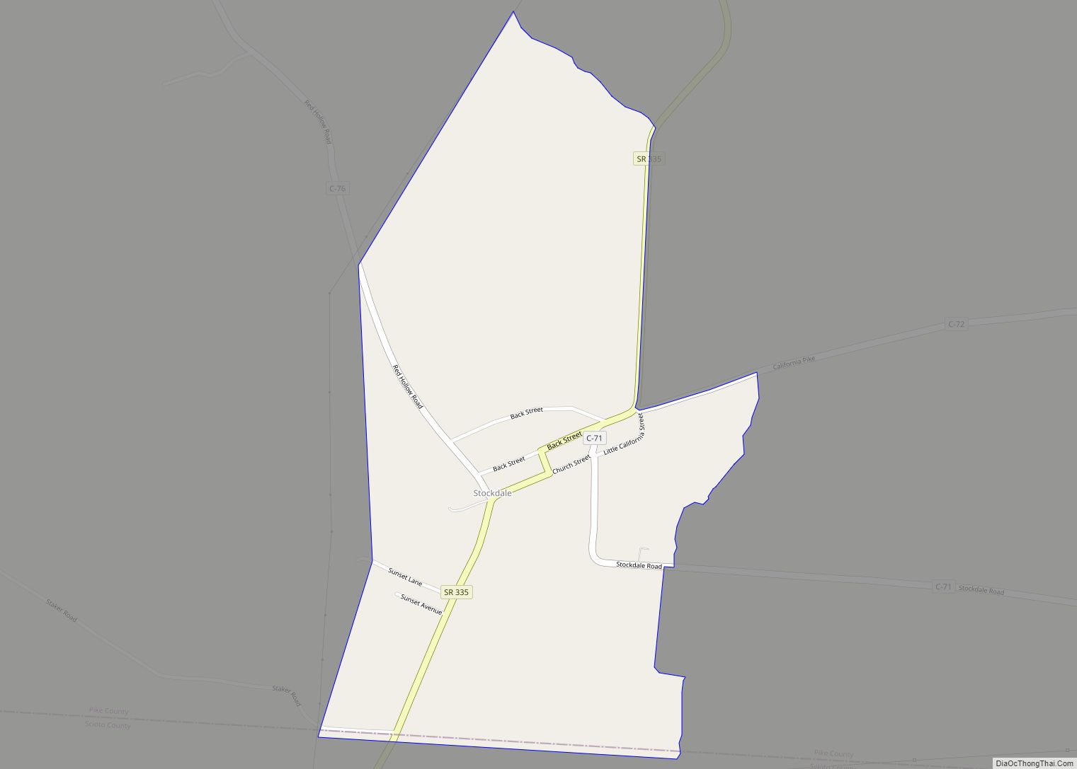
The area known as East Jackson, Ohio, about 7 miles east of Waverly on Ohio State Route 335, developed an interesting racial history and culture because its residents were excluded from Waverly as “poor” or “negro”. After several generations many East Jackson residents identified as “negro” but appeared to be “white”. Many residents self-identify as being of Native American descent.
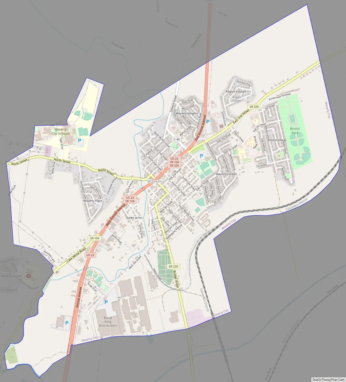
Waverly Road Map
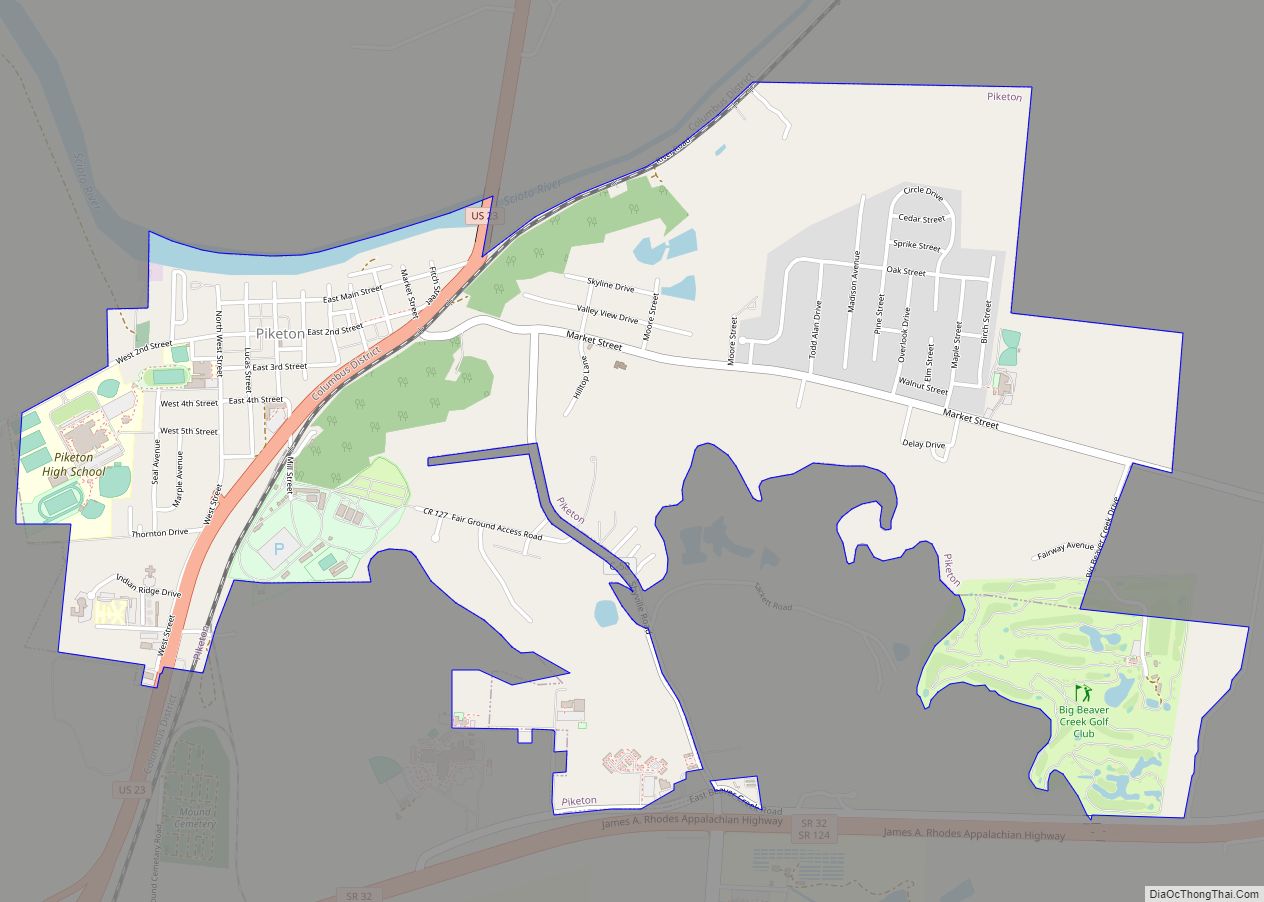
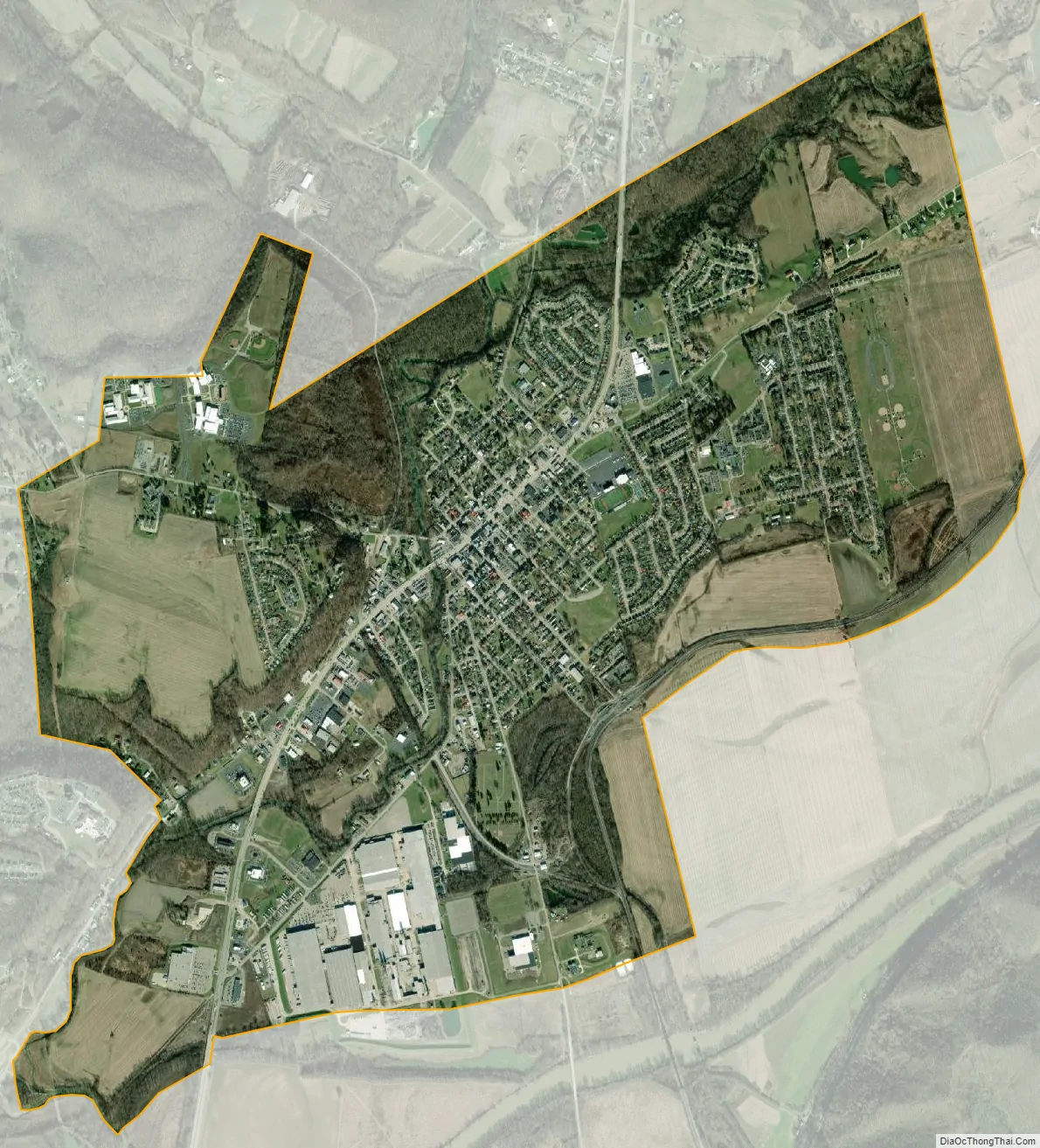
Waverly city Satellite Map
Geography
Waverly is located at 39°7′34″N 82°58′59″W / 39.12611°N 82.98306°W / 39.12611; -82.98306 (39.126181, -82.983173).
According to the United States Census Bureau, the city has a total area of 4.26 square miles (11.03 km), of which 4.20 square miles (10.88 km) is land and 0.06 square miles (0.16 km) is water.
Climate
See also
Map of Ohio State and its subdivision:- Adams
- Allen
- Ashland
- Ashtabula
- Athens
- Auglaize
- Belmont
- Brown
- Butler
- Carroll
- Champaign
- Clark
- Clermont
- Clinton
- Columbiana
- Coshocton
- Crawford
- Cuyahoga
- Darke
- Defiance
- Delaware
- Erie
- Fairfield
- Fayette
- Franklin
- Fulton
- Gallia
- Geauga
- Greene
- Guernsey
- Hamilton
- Hancock
- Hardin
- Harrison
- Henry
- Highland
- Hocking
- Holmes
- Huron
- Jackson
- Jefferson
- Knox
- Lake
- Lake Erie
- Lawrence
- Licking
- Logan
- Lorain
- Lucas
- Madison
- Mahoning
- Marion
- Medina
- Meigs
- Mercer
- Miami
- Monroe
- Montgomery
- Morgan
- Morrow
- Muskingum
- Noble
- Ottawa
- Paulding
- Perry
- Pickaway
- Pike
- Portage
- Preble
- Putnam
- Richland
- Ross
- Sandusky
- Scioto
- Seneca
- Shelby
- Stark
- Summit
- Trumbull
- Tuscarawas
- Union
- Van Wert
- Vinton
- Warren
- Washington
- Wayne
- Williams
- Wood
- Wyandot
- Alabama
- Alaska
- Arizona
- Arkansas
- California
- Colorado
- Connecticut
- Delaware
- District of Columbia
- Florida
- Georgia
- Hawaii
- Idaho
- Illinois
- Indiana
- Iowa
- Kansas
- Kentucky
- Louisiana
- Maine
- Maryland
- Massachusetts
- Michigan
- Minnesota
- Mississippi
- Missouri
- Montana
- Nebraska
- Nevada
- New Hampshire
- New Jersey
- New Mexico
- New York
- North Carolina
- North Dakota
- Ohio
- Oklahoma
- Oregon
- Pennsylvania
- Rhode Island
- South Carolina
- South Dakota
- Tennessee
- Texas
- Utah
- Vermont
- Virginia
- Washington
- West Virginia
- Wisconsin
- Wyoming