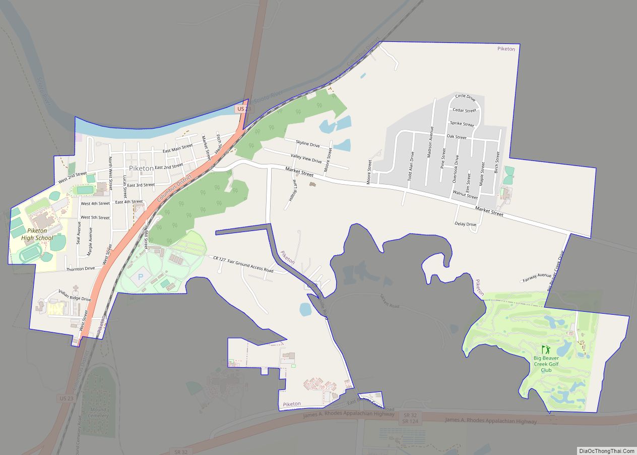
Piketon is a village in Pike County in the U.S. state of Ohio, along the Scioto River. The village is best known for the uranium enrichment plant located there, which is one of only three such plants in the United States. The population was 2,111 at the 2020 U.S. census. Originally called Jefferson, it was the county seat of Pike County from 1815 to 1845, when James Emmitt, a wealthy local entrepreneur, influenced the transfer of the county seat to Waverly, due to its closer proximity to the then-new Ohio & Erie Canal. Piketon is the location of the Pike County Fairgrounds and is served by the Scioto Valley School District.
Perhaps the best-known historic resident of Piketon was Robert Lucas, the governor of Ohio and territorial governor of Iowa. Around 1824, Lucas built a large brick house two miles east of Piketon, named Friendly Grove, which became a center of local political activity.
Piketon is served by the Western and Piketon branches of the Garnet A. Wilson Public Library.
| Name: | Piketon village |
|---|---|
| LSAD Code: | 47 |
| LSAD Description: | village (suffix) |
| State: | Ohio |
| County: | Pike County |
| Elevation: | 574 ft (175 m) |
| Total Area: | 2.57 sq mi (6.65 km²) |
| Land Area: | 2.51 sq mi (6.51 km²) |
| Water Area: | 0.05 sq mi (0.14 km²) |
| Total Population: | 2,111 |
| Population Density: | 839.70/sq mi (324.17/km²) |
| ZIP code: | 45661 |
| Area code: | 740 |
| FIPS code: | 3962708 |
| GNISfeature ID: | 1061541 |
Online Interactive Map
Click on ![]() to view map in "full screen" mode.
to view map in "full screen" mode.
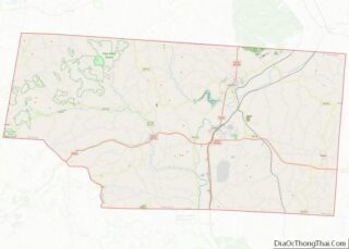
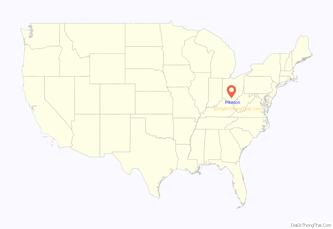
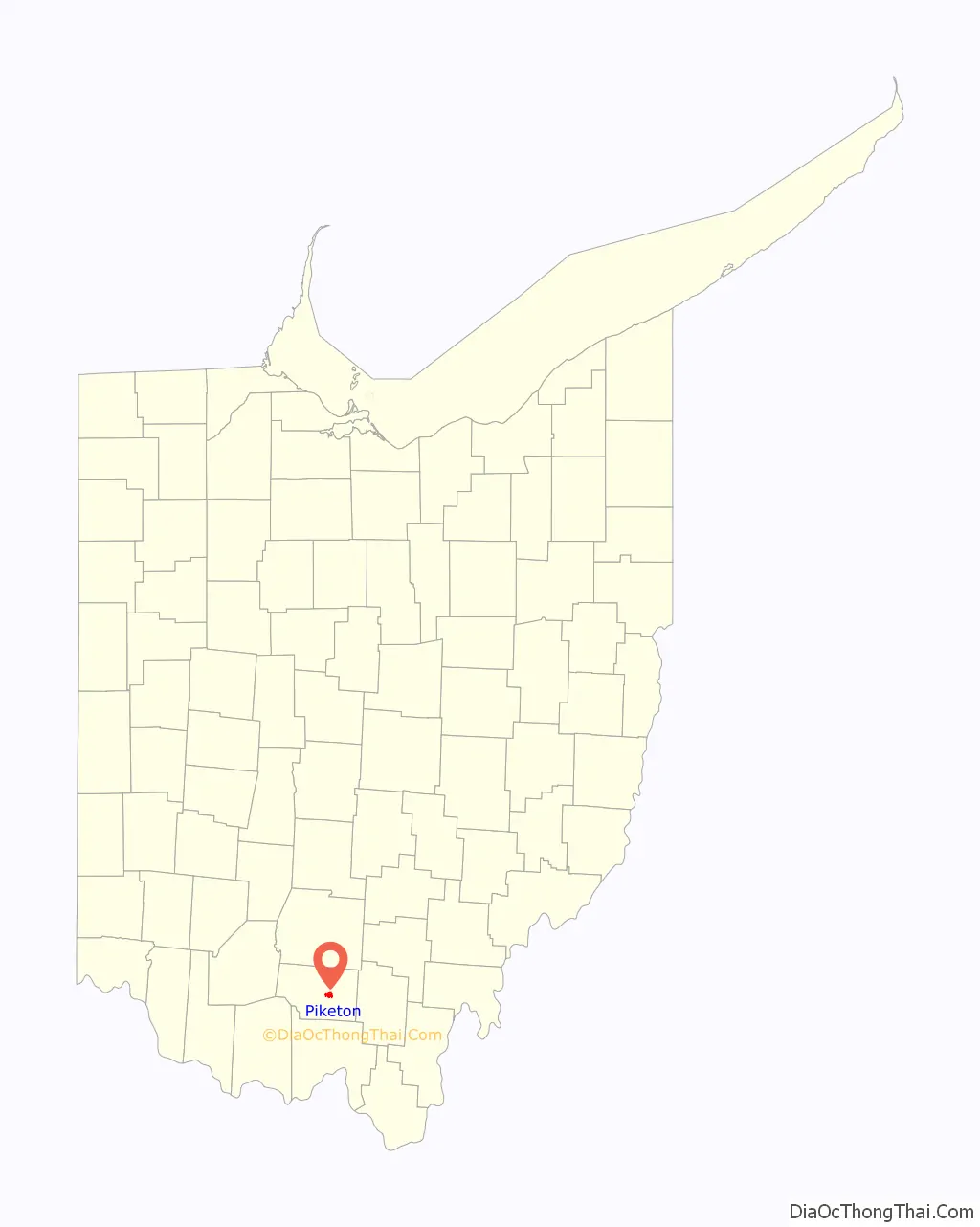
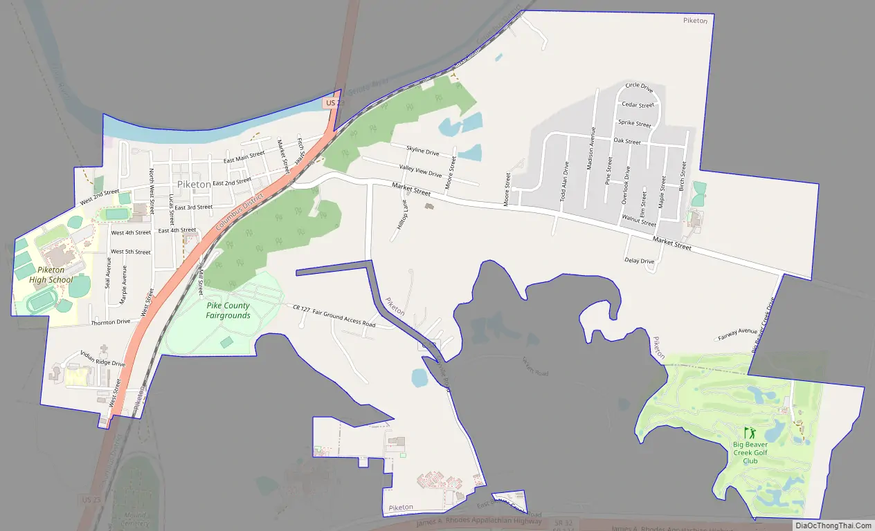
Piketon location map. Where is Piketon village?
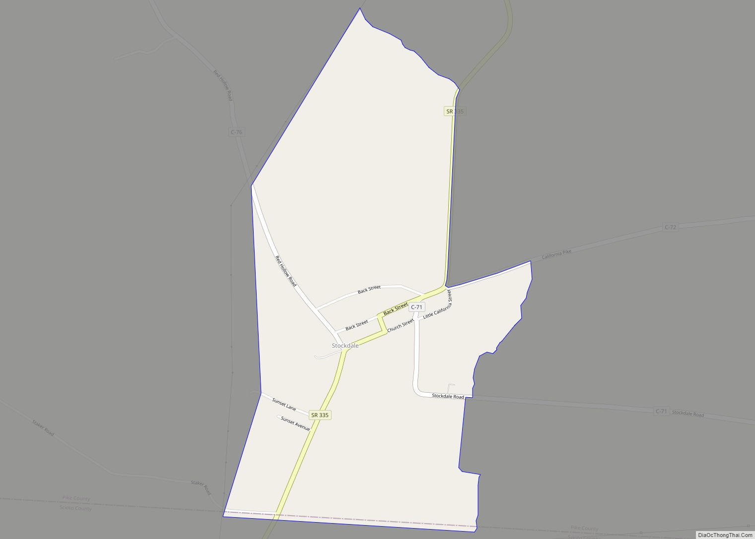
Piketon Road Map
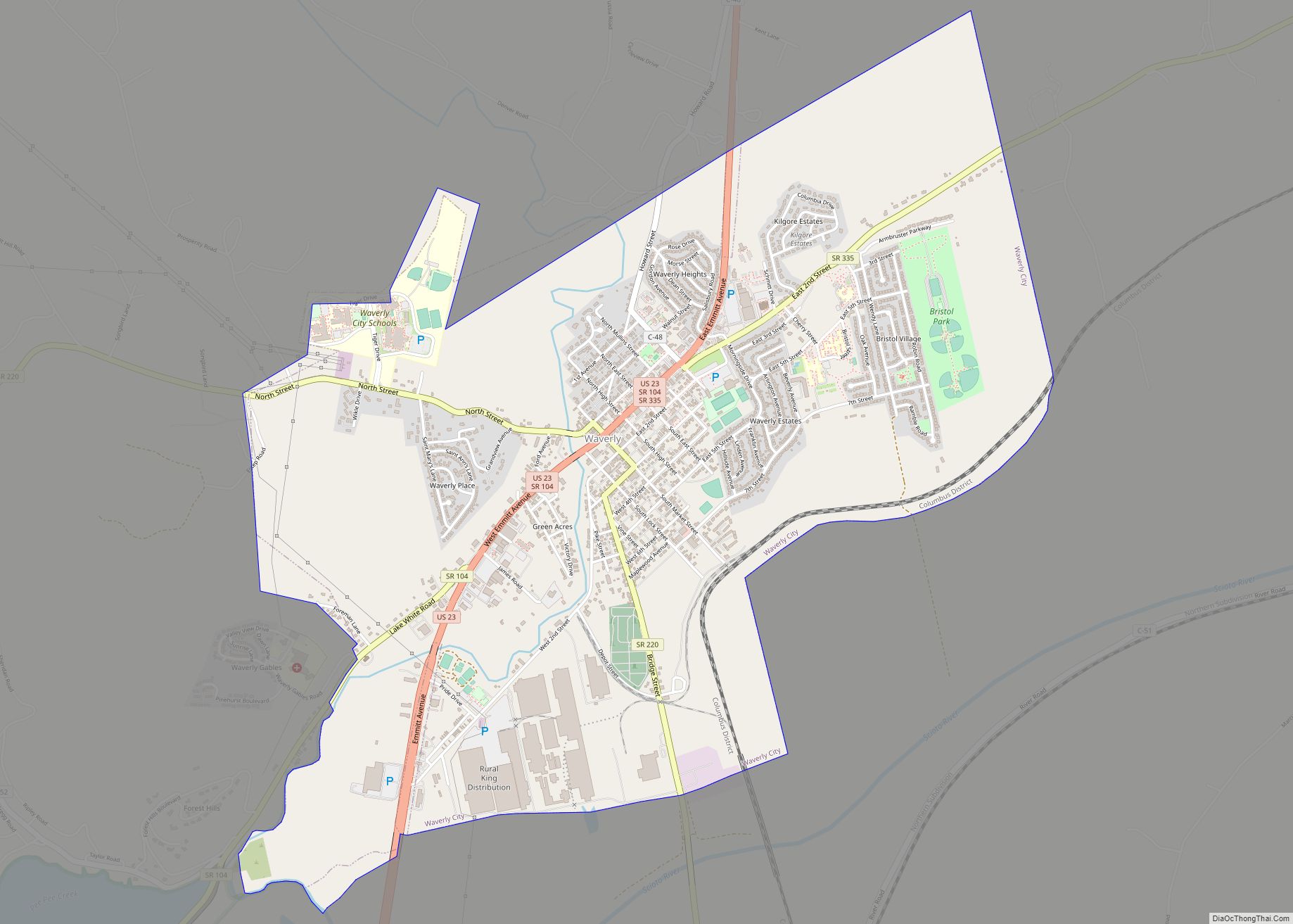
Piketon city Satellite Map

Geography
Piketon is located at 39°4′4″N 83°0′33″W / 39.06778°N 83.00917°W / 39.06778; -83.00917 (39.067801, -83.009207).
According to the United States Census Bureau, the village has a total area of 2.55 square miles (6.60 km), of which 2.50 square miles (6.47 km) is land and 0.05 square miles (0.13 km) is water.
See also
Map of Ohio State and its subdivision:- Adams
- Allen
- Ashland
- Ashtabula
- Athens
- Auglaize
- Belmont
- Brown
- Butler
- Carroll
- Champaign
- Clark
- Clermont
- Clinton
- Columbiana
- Coshocton
- Crawford
- Cuyahoga
- Darke
- Defiance
- Delaware
- Erie
- Fairfield
- Fayette
- Franklin
- Fulton
- Gallia
- Geauga
- Greene
- Guernsey
- Hamilton
- Hancock
- Hardin
- Harrison
- Henry
- Highland
- Hocking
- Holmes
- Huron
- Jackson
- Jefferson
- Knox
- Lake
- Lake Erie
- Lawrence
- Licking
- Logan
- Lorain
- Lucas
- Madison
- Mahoning
- Marion
- Medina
- Meigs
- Mercer
- Miami
- Monroe
- Montgomery
- Morgan
- Morrow
- Muskingum
- Noble
- Ottawa
- Paulding
- Perry
- Pickaway
- Pike
- Portage
- Preble
- Putnam
- Richland
- Ross
- Sandusky
- Scioto
- Seneca
- Shelby
- Stark
- Summit
- Trumbull
- Tuscarawas
- Union
- Van Wert
- Vinton
- Warren
- Washington
- Wayne
- Williams
- Wood
- Wyandot
- Alabama
- Alaska
- Arizona
- Arkansas
- California
- Colorado
- Connecticut
- Delaware
- District of Columbia
- Florida
- Georgia
- Hawaii
- Idaho
- Illinois
- Indiana
- Iowa
- Kansas
- Kentucky
- Louisiana
- Maine
- Maryland
- Massachusetts
- Michigan
- Minnesota
- Mississippi
- Missouri
- Montana
- Nebraska
- Nevada
- New Hampshire
- New Jersey
- New Mexico
- New York
- North Carolina
- North Dakota
- Ohio
- Oklahoma
- Oregon
- Pennsylvania
- Rhode Island
- South Carolina
- South Dakota
- Tennessee
- Texas
- Utah
- Vermont
- Virginia
- Washington
- West Virginia
- Wisconsin
- Wyoming