Pipestone is a city in Minnesota, United States, and the county seat of Pipestone County. The population was 4,215 at the 2020 census. The city is also the site of the Pipestone National Monument.
| Name: | Pipestone city |
|---|---|
| LSAD Code: | 25 |
| LSAD Description: | city (suffix) |
| State: | Minnesota |
| County: | Pipestone County |
| Elevation: | 1,739 ft (530 m) |
| Total Area: | 4.15 sq mi (10.75 km²) |
| Land Area: | 4.15 sq mi (10.74 km²) |
| Water Area: | 0.00 sq mi (0.01 km²) |
| Total Population: | 4,215 |
| Population Density: | 1,016.64/sq mi (392.55/km²) |
| ZIP code: | 56164 |
| Area code: | 507 |
| FIPS code: | 2751388 |
| GNISfeature ID: | 2396214 |
| Website: | pipestoneminnesota.com |
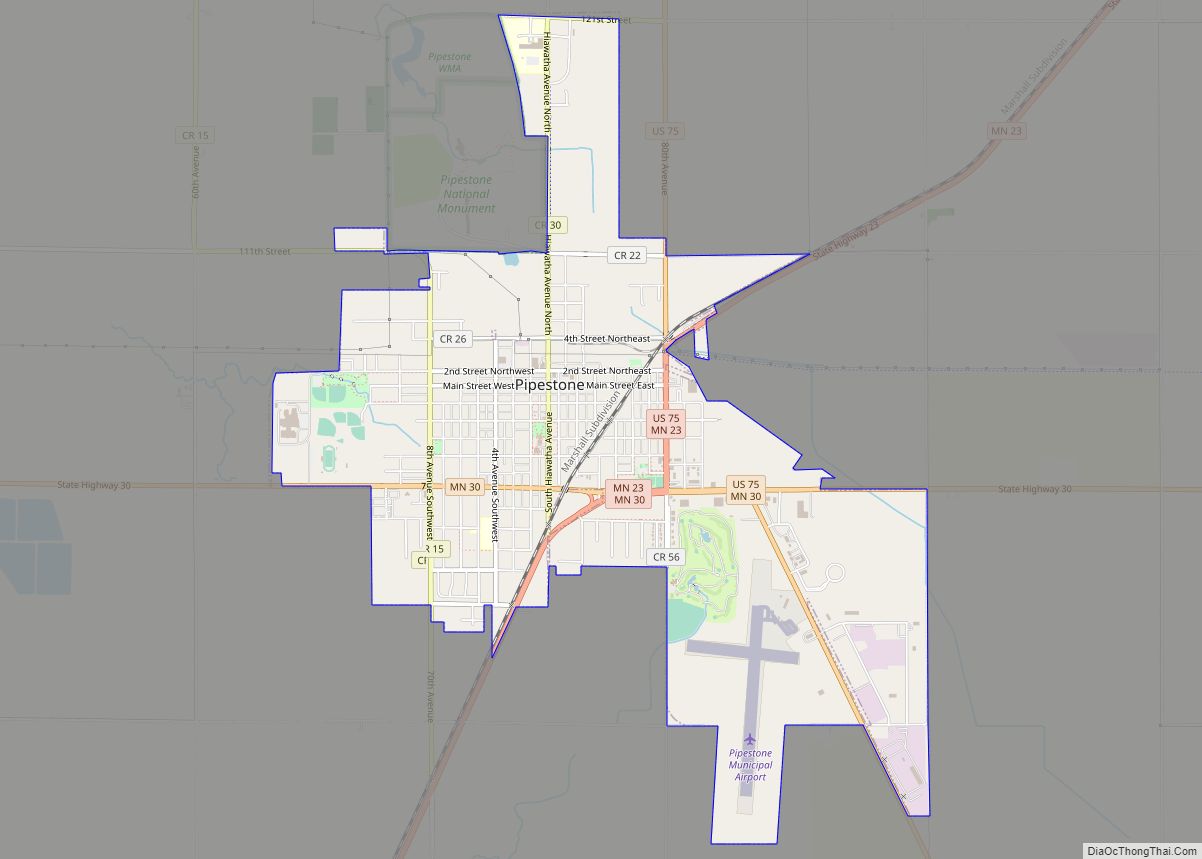
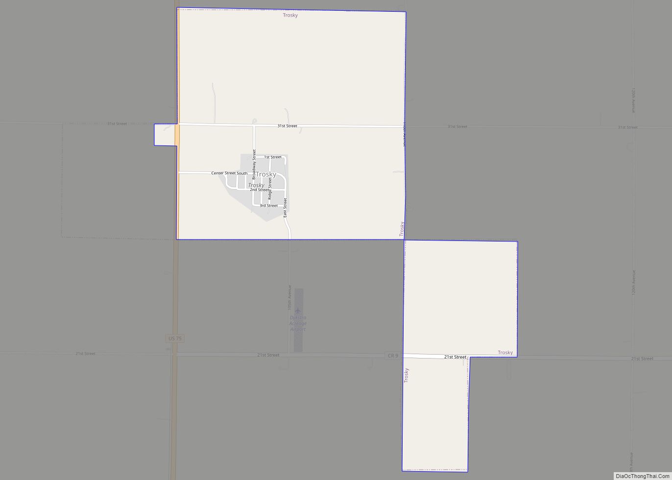
Online Interactive Map
Click on ![]() to view map in "full screen" mode.
to view map in "full screen" mode.
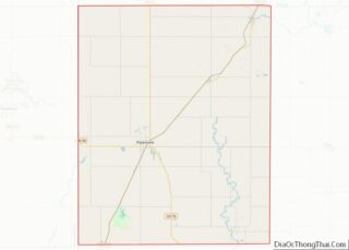
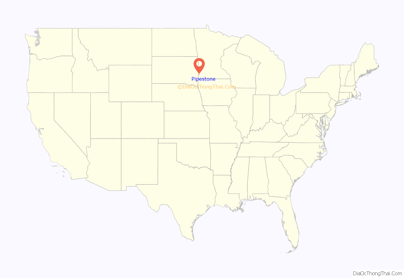
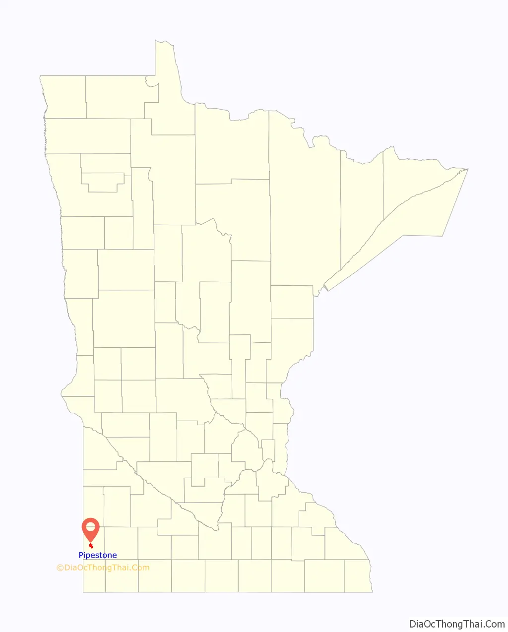
Pipestone location map. Where is Pipestone city?
History
Pipestone was platted in October, 1876, incorporated as a village on February 10, 1881, and as a city on July 23, 1901. Pipestone took its name from Pipestone County.
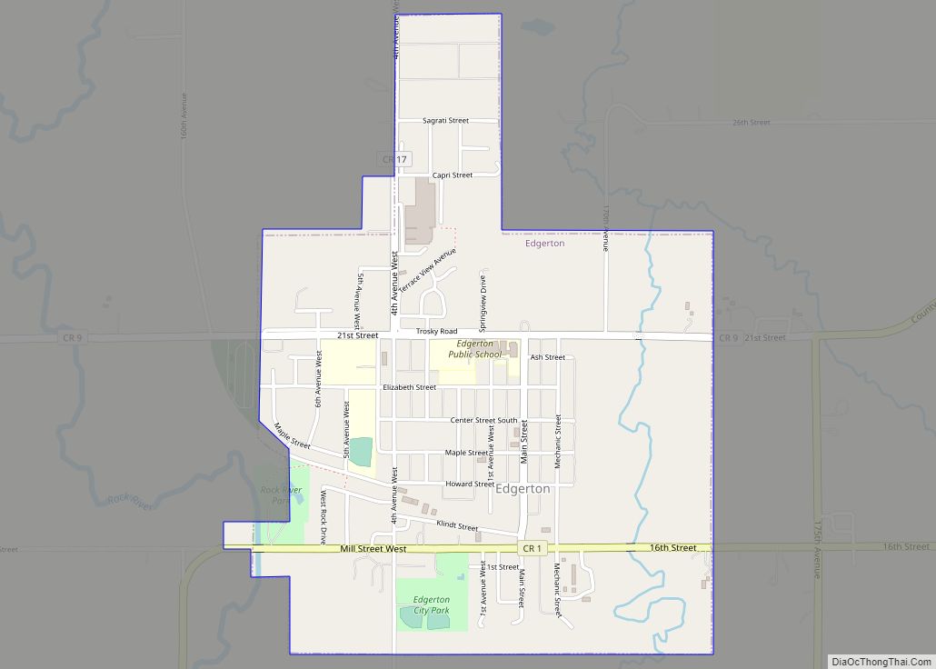
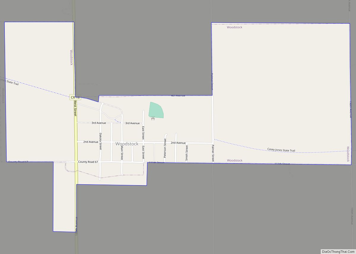
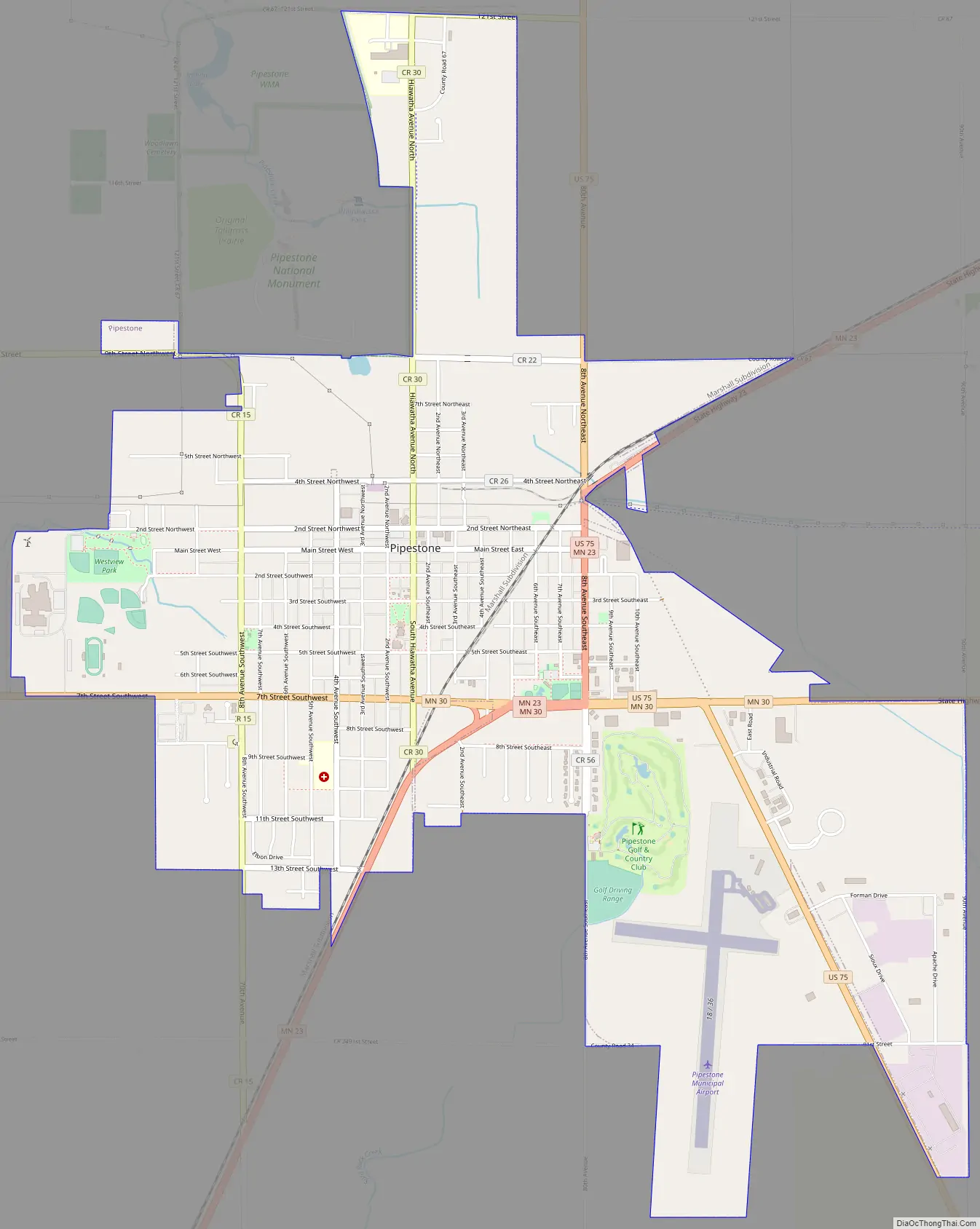
Pipestone Road Map
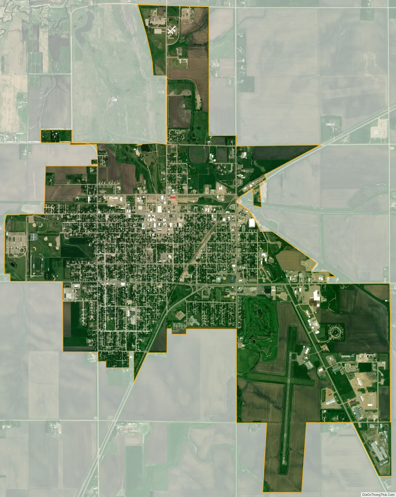
Pipestone city Satellite Map
Geography
According to the United States Census Bureau, the city has a total area of 4.18 square miles (10.83 km), all land.
Climate
The town has a humid continental climate similar to the rest of the state; though near the southern border, Pipestone is on measurably higher ground than many areas to the north and east.
See also
Map of Minnesota State and its subdivision:- Aitkin
- Anoka
- Becker
- Beltrami
- Benton
- Big Stone
- Blue Earth
- Brown
- Carlton
- Carver
- Cass
- Chippewa
- Chisago
- Clay
- Clearwater
- Cook
- Cottonwood
- Crow Wing
- Dakota
- Dodge
- Douglas
- Faribault
- Fillmore
- Freeborn
- Goodhue
- Grant
- Hennepin
- Houston
- Hubbard
- Isanti
- Itasca
- Jackson
- Kanabec
- Kandiyohi
- Kittson
- Koochiching
- Lac qui Parle
- Lake
- Lake of the Woods
- Lake Superior
- Le Sueur
- Lincoln
- Lyon
- Mahnomen
- Marshall
- Martin
- McLeod
- Meeker
- Mille Lacs
- Morrison
- Mower
- Murray
- Nicollet
- Nobles
- Norman
- Olmsted
- Otter Tail
- Pennington
- Pine
- Pipestone
- Polk
- Pope
- Ramsey
- Red Lake
- Redwood
- Renville
- Rice
- Rock
- Roseau
- Saint Louis
- Scott
- Sherburne
- Sibley
- Stearns
- Steele
- Stevens
- Swift
- Todd
- Traverse
- Wabasha
- Wadena
- Waseca
- Washington
- Watonwan
- Wilkin
- Winona
- Wright
- Yellow Medicine
- Alabama
- Alaska
- Arizona
- Arkansas
- California
- Colorado
- Connecticut
- Delaware
- District of Columbia
- Florida
- Georgia
- Hawaii
- Idaho
- Illinois
- Indiana
- Iowa
- Kansas
- Kentucky
- Louisiana
- Maine
- Maryland
- Massachusetts
- Michigan
- Minnesota
- Mississippi
- Missouri
- Montana
- Nebraska
- Nevada
- New Hampshire
- New Jersey
- New Mexico
- New York
- North Carolina
- North Dakota
- Ohio
- Oklahoma
- Oregon
- Pennsylvania
- Rhode Island
- South Carolina
- South Dakota
- Tennessee
- Texas
- Utah
- Vermont
- Virginia
- Washington
- West Virginia
- Wisconsin
- Wyoming