Tallmadge (/ˈtælmɪdʒ/ TAL-mij) is a city in eastern Summit County, Ohio, United States, with a small district in neighboring Portage County. It is a suburb of Akron and part of the Akron metropolitan area. The population was 18,394 at the 2020 census. Tallmadge was founded in 1807 and is the second-oldest city in Summit County, following Hudson, which was founded in 1799.
| Name: | Tallmadge city |
|---|---|
| LSAD Code: | 25 |
| LSAD Description: | city (suffix) |
| State: | Ohio |
| County: | Portage County, Summit County |
| Elevation: | 1,115 ft (340 m) |
| Total Area: | 14.06 sq mi (36.42 km²) |
| Land Area: | 14.04 sq mi (36.36 km²) |
| Water Area: | 0.02 sq mi (0.05 km²) |
| Total Population: | 18,394 |
| Population Density: | 1,310.11/sq mi (505.83/km²) |
| ZIP code: | 44278 |
| Area code: | 330 |
| FIPS code: | 3976106 |
| GNISfeature ID: | 1061671 |
| Website: | http://www.tallmadge-ohio.org/ |
Online Interactive Map
Click on ![]() to view map in "full screen" mode.
to view map in "full screen" mode.
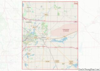
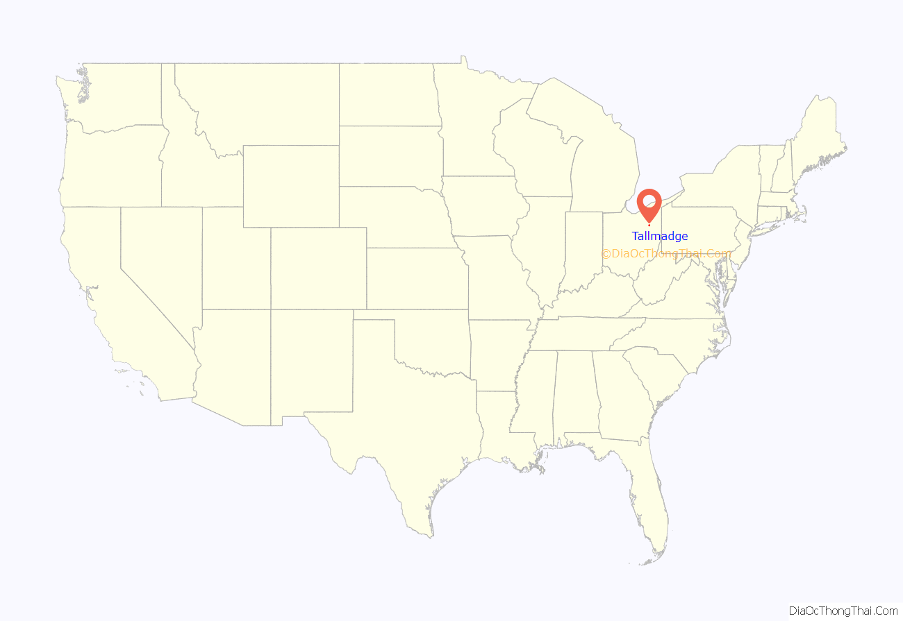
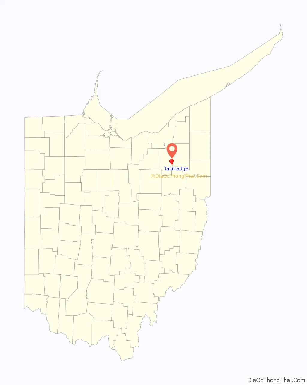
Tallmadge location map. Where is Tallmadge city?
History
Historically, Tallmadge was a part of the Connecticut Western Reserve, which was a three million acre plot of land in northeast Ohio. Prior to being named Tallmadge, it was part of Town 2, Range 10 in the Western Reserve. In 1807, the Reverend David Bacon founded and organized Tallmadge, placing a square road in the center of town where several other roads met, modeled after New England designs of the time period. The town was named after Benjamin Tallmadge, an American Revolutionary War figure and local landowner. The first syllable rhymes with “shall”, not “tall”.
In the nineteenth century, Tallmadge continued to develop around the square as its centerpiece, which years later became a traffic circle named “Tallmadge Circle” (or simply “the Circle”). The Circle as it is today represents New England’s role in the settlement of the Ohio Western Reserve. The rest of the city was designed in a grid pattern, with industry tending to develop near the railroad.
No alcohol could be bought or consumed in public in Tallmadge until the early 1990s, when the law was amended to allow the retail sale of alcohol in stores, but public consumption was still illegal. In 2001, the law was repealed and alcohol could be sold and consumed in restaurants, provided that alcohol not account for more than 30% of any establishment’s revenue. The first restaurant to offer alcohol in Tallmadge was Delanie’s on West Avenue.
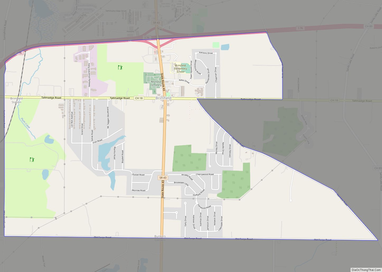
Tallmadge lies within two counties. While the vast majority of the city lies in Summit County, portions on the east side protrude into neighboring Portage County. This phenomenon resulted from the annexation of small portions of a neighboring township, Brimfield.
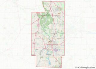
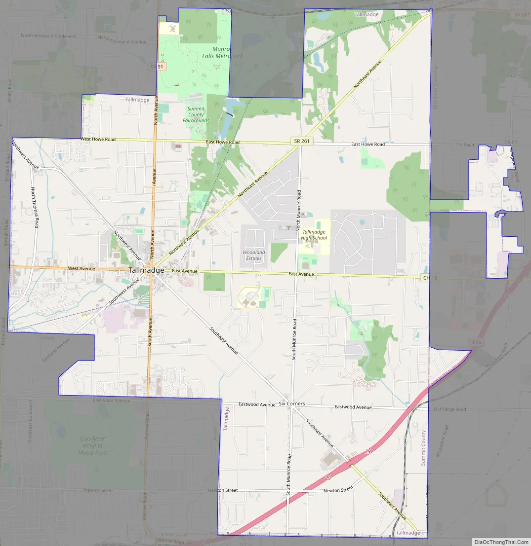
Tallmadge Road Map
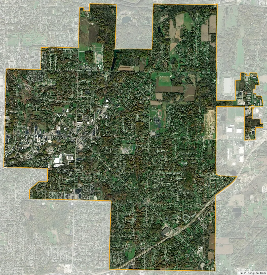
Tallmadge city Satellite Map
Geography
Tallmadge is at 41°05′49″N 81°25′27″W / 41.096956°N 81.424033°W / 41.096956; -81.424033 (41.096956, -81.424033).
According to the United States Census Bureau, the city has a total area of 14.02 square miles (36.31 km), of which, 14.00 square miles (36.26 km) is land and 0.02 square miles (0.05 km) is water.
See also
Map of Ohio State and its subdivision:- Adams
- Allen
- Ashland
- Ashtabula
- Athens
- Auglaize
- Belmont
- Brown
- Butler
- Carroll
- Champaign
- Clark
- Clermont
- Clinton
- Columbiana
- Coshocton
- Crawford
- Cuyahoga
- Darke
- Defiance
- Delaware
- Erie
- Fairfield
- Fayette
- Franklin
- Fulton
- Gallia
- Geauga
- Greene
- Guernsey
- Hamilton
- Hancock
- Hardin
- Harrison
- Henry
- Highland
- Hocking
- Holmes
- Huron
- Jackson
- Jefferson
- Knox
- Lake
- Lake Erie
- Lawrence
- Licking
- Logan
- Lorain
- Lucas
- Madison
- Mahoning
- Marion
- Medina
- Meigs
- Mercer
- Miami
- Monroe
- Montgomery
- Morgan
- Morrow
- Muskingum
- Noble
- Ottawa
- Paulding
- Perry
- Pickaway
- Pike
- Portage
- Preble
- Putnam
- Richland
- Ross
- Sandusky
- Scioto
- Seneca
- Shelby
- Stark
- Summit
- Trumbull
- Tuscarawas
- Union
- Van Wert
- Vinton
- Warren
- Washington
- Wayne
- Williams
- Wood
- Wyandot
- Alabama
- Alaska
- Arizona
- Arkansas
- California
- Colorado
- Connecticut
- Delaware
- District of Columbia
- Florida
- Georgia
- Hawaii
- Idaho
- Illinois
- Indiana
- Iowa
- Kansas
- Kentucky
- Louisiana
- Maine
- Maryland
- Massachusetts
- Michigan
- Minnesota
- Mississippi
- Missouri
- Montana
- Nebraska
- Nevada
- New Hampshire
- New Jersey
- New Mexico
- New York
- North Carolina
- North Dakota
- Ohio
- Oklahoma
- Oregon
- Pennsylvania
- Rhode Island
- South Carolina
- South Dakota
- Tennessee
- Texas
- Utah
- Vermont
- Virginia
- Washington
- West Virginia
- Wisconsin
- Wyoming