Mogadore (/ˈmɒɡədɔːr/ MOG-ə-dor) is a village in Portage and Summit counties in the U.S. state of Ohio. The population was 3,811 at the 2020 census. A suburb of Akron, it is part of the Akron metropolitan area.
| Name: | Mogadore village |
|---|---|
| LSAD Code: | 47 |
| LSAD Description: | village (suffix) |
| State: | Ohio |
| County: | Portage County, Summit County |
| Elevation: | 1,148 ft (350 m) |
| Total Area: | 2.16 sq mi (5.60 km²) |
| Land Area: | 2.14 sq mi (5.55 km²) |
| Water Area: | 0.02 sq mi (0.05 km²) |
| Total Population: | 3,811 |
| Population Density: | 1,777.52/sq mi (686.45/km²) |
| ZIP code: | 44260 |
| Area code: | 330, 234 |
| FIPS code: | 3951058 |
| GNISfeature ID: | 1077531 |
| Website: | mogadorevillage.org |
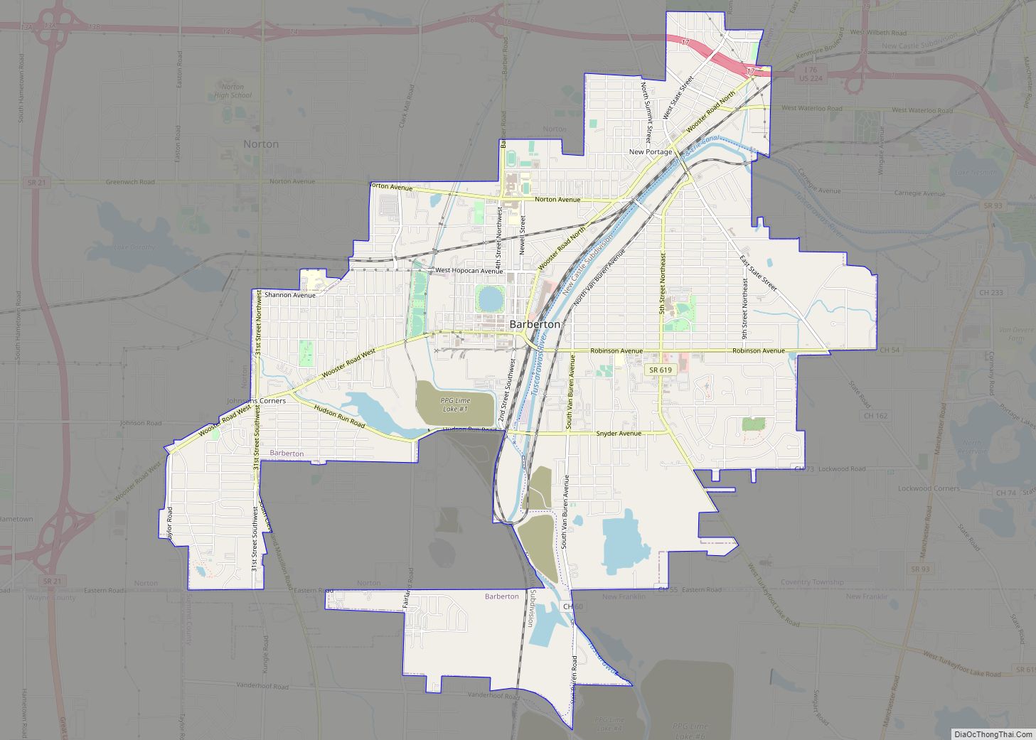
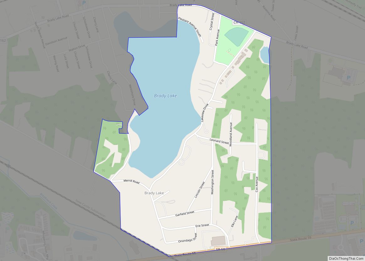
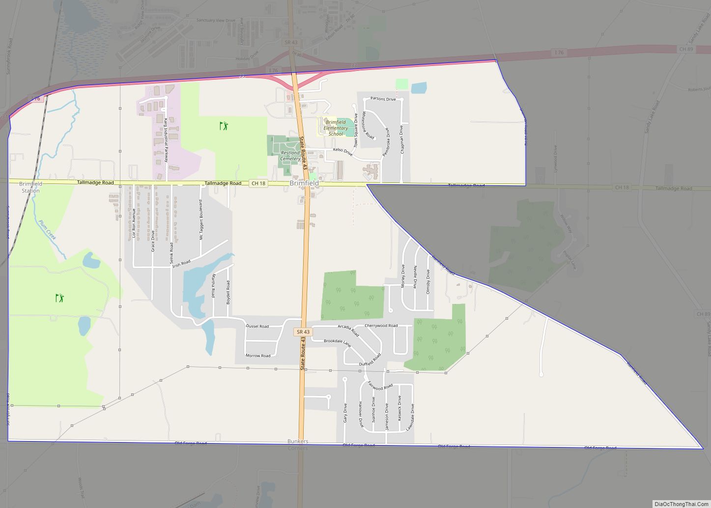
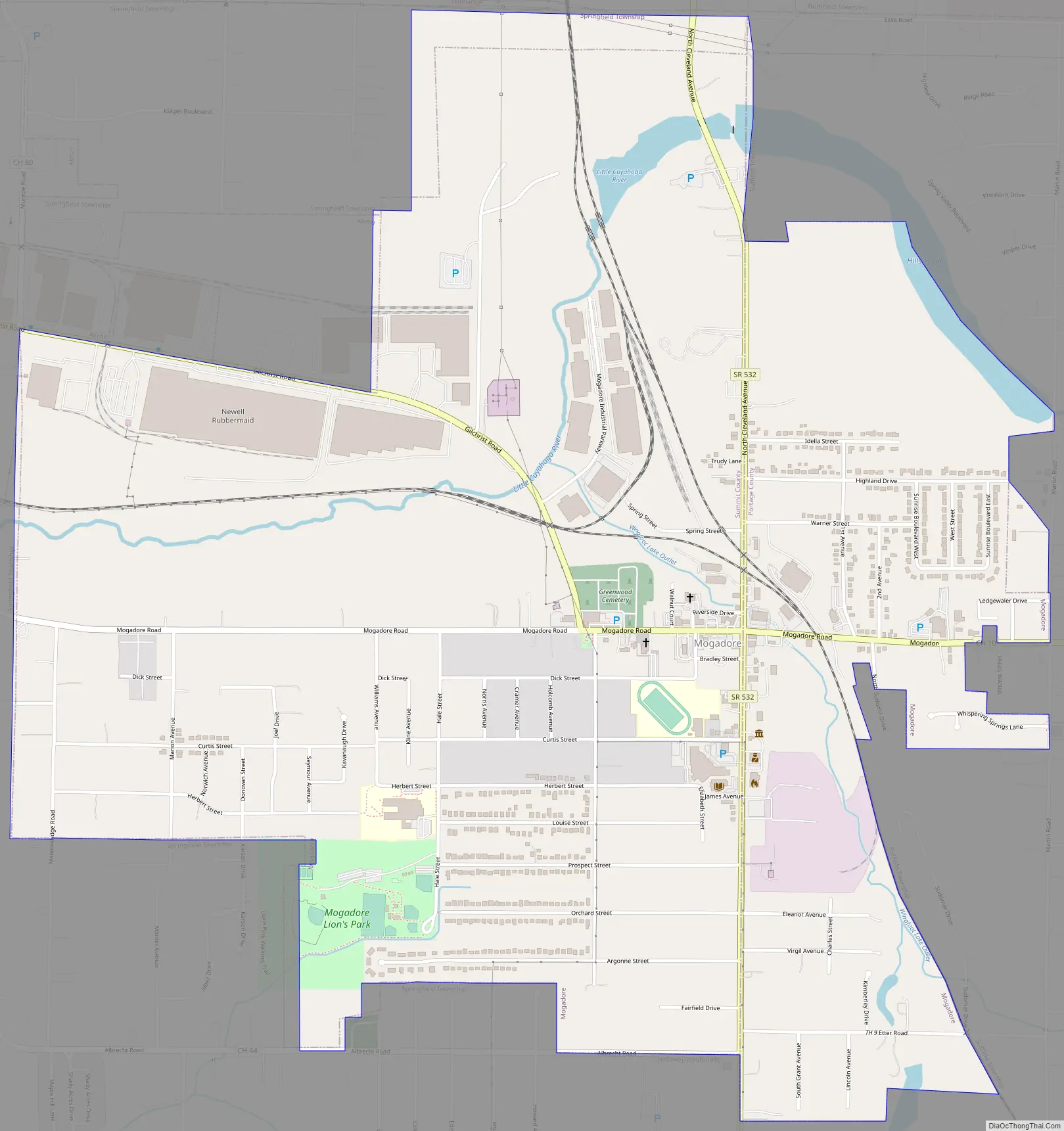
Online Interactive Map
Click on ![]() to view map in "full screen" mode.
to view map in "full screen" mode.
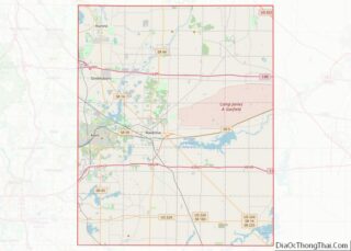
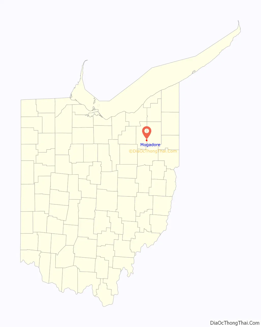
Mogadore location map. Where is Mogadore village?

History
Mogadore is in the part of Ohio known as the Connecticut Western Reserve. The area was first settled in 1807 by Revolutionary War veteran Kyle Callihan. The town was known as Bradleyville until 1825 when it became known as Mogadore. The name comes from the city of Essaouira, Morocco, known historically as Mogador; it may have been inspired by the book Sufferings in Africa, the memoir of a Connecticut merchant ship captain who was captured in North Africa and taken to Mogador.
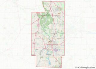
Mogadore Road Map
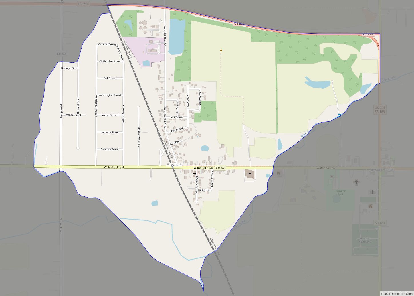
Mogadore city Satellite Map

Geography
Mogadore is located in Summit and Portage Counties, Ohio. According to the United States Census Bureau, the village has a total area of 2.11 square miles (5.46 km), of which 2.09 square miles (5.41 km) is land and 0.02 square miles (0.05 km) is water.
See also
Map of Ohio State and its subdivision:- Adams
- Allen
- Ashland
- Ashtabula
- Athens
- Auglaize
- Belmont
- Brown
- Butler
- Carroll
- Champaign
- Clark
- Clermont
- Clinton
- Columbiana
- Coshocton
- Crawford
- Cuyahoga
- Darke
- Defiance
- Delaware
- Erie
- Fairfield
- Fayette
- Franklin
- Fulton
- Gallia
- Geauga
- Greene
- Guernsey
- Hamilton
- Hancock
- Hardin
- Harrison
- Henry
- Highland
- Hocking
- Holmes
- Huron
- Jackson
- Jefferson
- Knox
- Lake
- Lake Erie
- Lawrence
- Licking
- Logan
- Lorain
- Lucas
- Madison
- Mahoning
- Marion
- Medina
- Meigs
- Mercer
- Miami
- Monroe
- Montgomery
- Morgan
- Morrow
- Muskingum
- Noble
- Ottawa
- Paulding
- Perry
- Pickaway
- Pike
- Portage
- Preble
- Putnam
- Richland
- Ross
- Sandusky
- Scioto
- Seneca
- Shelby
- Stark
- Summit
- Trumbull
- Tuscarawas
- Union
- Van Wert
- Vinton
- Warren
- Washington
- Wayne
- Williams
- Wood
- Wyandot
- Alabama
- Alaska
- Arizona
- Arkansas
- California
- Colorado
- Connecticut
- Delaware
- District of Columbia
- Florida
- Georgia
- Hawaii
- Idaho
- Illinois
- Indiana
- Iowa
- Kansas
- Kentucky
- Louisiana
- Maine
- Maryland
- Massachusetts
- Michigan
- Minnesota
- Mississippi
- Missouri
- Montana
- Nebraska
- Nevada
- New Hampshire
- New Jersey
- New Mexico
- New York
- North Carolina
- North Dakota
- Ohio
- Oklahoma
- Oregon
- Pennsylvania
- Rhode Island
- South Carolina
- South Dakota
- Tennessee
- Texas
- Utah
- Vermont
- Virginia
- Washington
- West Virginia
- Wisconsin
- Wyoming