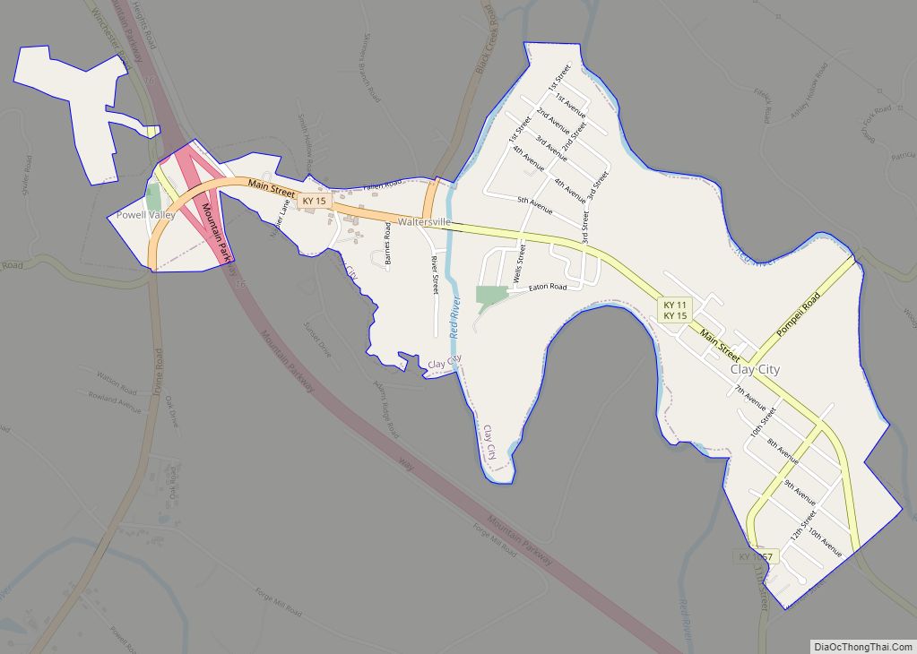
Clay City is a home rule-class city in Powell County, Kentucky, United States. The population was 1,077 at the 2010 census.
| Name: | Clay City city |
|---|---|
| LSAD Code: | 25 |
| LSAD Description: | city (suffix) |
| State: | Kentucky |
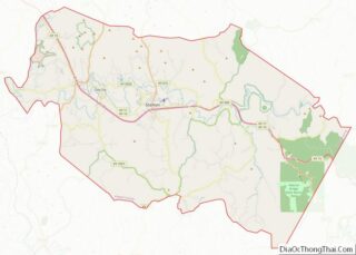
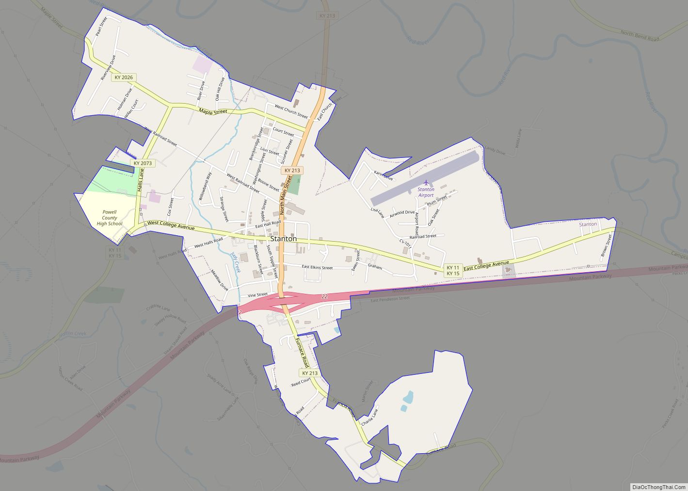
| County: | Powell County |
| Incorporated: | April 19, 1890 |
| Elevation: | 620 ft (190 m) |
| Total Area: | 1.12 sq mi (2.90 km²) |
| Land Area: | 1.06 sq mi (2.74 km²) |
| Water Area: | 0.06 sq mi (0.15 km²) |
| Total Population: | 1,193 |
| Population Density: | 1,126.53/sq mi (434.88/km²) |
| ZIP code: | 40312 |
| Area code: | 606 |
| FIPS code: | 2115238 |
| GNISfeature ID: | 0511380 |
| Website: | claycity.ky.gov |
Online Interactive Map
Click on ![]() to view map in "full screen" mode.
to view map in "full screen" mode.
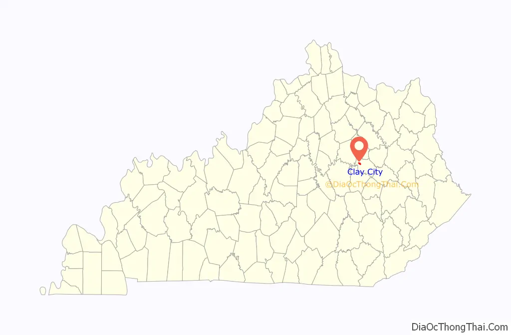
Clay City location map. Where is Clay City city?

History
The first European settlement in the vicinity of present-day Clay City was in 1786, by Stephen Collins and his brother, after their discovery of pyrite deposits. Shortly afterwards, the brothers set up the first iron forge west of the Allegheny Mountains and established Collins Forge. The Collins brother sold their forge to Clark and Smith in 1805, the forerunner company of the Red River Iron Works. For much of the 19th century, the settlement was known by the same name as the forge. By the 1880s, the post office was moved across the river and was renamed Waltersville for the local family carrying the same surname.
By 1883 the settlement was named Clay City, possibly for the local clay deposits. It is believed that the name was officially changed from Waltersville on August 13, 1883, when the post office was renamed Clay City. The settlement was incorporated as a fifth-class city on April 19, 1890.
Clay City Road Map

Clay City city Satellite Map

Geography
Clay City is located at 37°51′48″N 83°55′42″W / 37.86333°N 83.92833°W / 37.86333; -83.92833 (37.863203, -83.928281).
According to the United States Census Bureau, the city has a total area of 1.1 square miles (2.8 km), all land.
The city is located in a low-lying area in the Red River Valley. With such proximity to the Red River, it floods quite frequently when a large storm/thunderstorm moves through the area.
See also
Map of Kentucky State and its subdivision:- Adair
- Allen
- Anderson
- Ballard
- Barren
- Bath
- Bell
- Boone
- Bourbon
- Boyd
- Boyle
- Bracken
- Breathitt
- Breckinridge
- Bullitt
- Butler
- Caldwell
- Calloway
- Campbell
- Carlisle
- Carroll
- Carter
- Casey
- Christian
- Clark
- Clay
- Clinton
- Crittenden
- Cumberland
- Daviess
- Edmonson
- Elliott
- Estill
- Fayette
- Fleming
- Floyd
- Franklin
- Fulton
- Gallatin
- Garrard
- Grant
- Graves
- Grayson
- Green
- Greenup
- Hancock
- Hardin
- Harlan
- Harrison
- Hart
- Henderson
- Henry
- Hickman
- Hopkins
- Jackson
- Jefferson
- Jessamine
- Johnson
- Kenton
- Knott
- Knox
- Larue
- Laurel
- Lawrence
- Lee
- Leslie
- Letcher
- Lewis
- Lincoln
- Livingston
- Logan
- Lyon
- Madison
- Magoffin
- Marion
- Marshall
- Martin
- Mason
- McCracken
- McCreary
- McLean
- Meade
- Menifee
- Mercer
- Metcalfe
- Monroe
- Montgomery
- Morgan
- Muhlenberg
- Nelson
- Nicholas
- Ohio
- Oldham
- Owen
- Owsley
- Pendleton
- Perry
- Pike
- Powell
- Pulaski
- Robertson
- Rockcastle
- Rowan
- Russell
- Scott
- Shelby
- Simpson
- Spencer
- Taylor
- Todd
- Trigg
- Trimble
- Union
- Warren
- Washington
- Wayne
- Webster
- Whitley
- Wolfe
- Woodford
- Alabama
- Alaska
- Arizona
- Arkansas
- California
- Colorado
- Connecticut
- Delaware
- District of Columbia
- Florida
- Georgia
- Hawaii
- Idaho
- Illinois
- Indiana
- Iowa
- Kansas
- Kentucky
- Louisiana
- Maine
- Maryland
- Massachusetts
- Michigan
- Minnesota
- Mississippi
- Missouri
- Montana
- Nebraska
- Nevada
- New Hampshire
- New Jersey
- New Mexico
- New York
- North Carolina
- North Dakota
- Ohio
- Oklahoma
- Oregon
- Pennsylvania
- Rhode Island
- South Carolina
- South Dakota
- Tennessee
- Texas
- Utah
- Vermont
- Virginia
- Washington
- West Virginia
- Wisconsin
- Wyoming