Rawlins County (standard abbreviation: RA) is a county located in the U.S. state of Kansas. As of the 2020 census, the county population was 2,561. The largest city and county seat is Atwood. It was named after Union Civil War General John Aaron Rawlins.
| Name: | Rawlins County |
|---|---|
| FIPS code: | 20-153 |
| State: | Kansas |
| Founded: | March 20, 1873 |
| Named for: | John Aaron Rawlins |
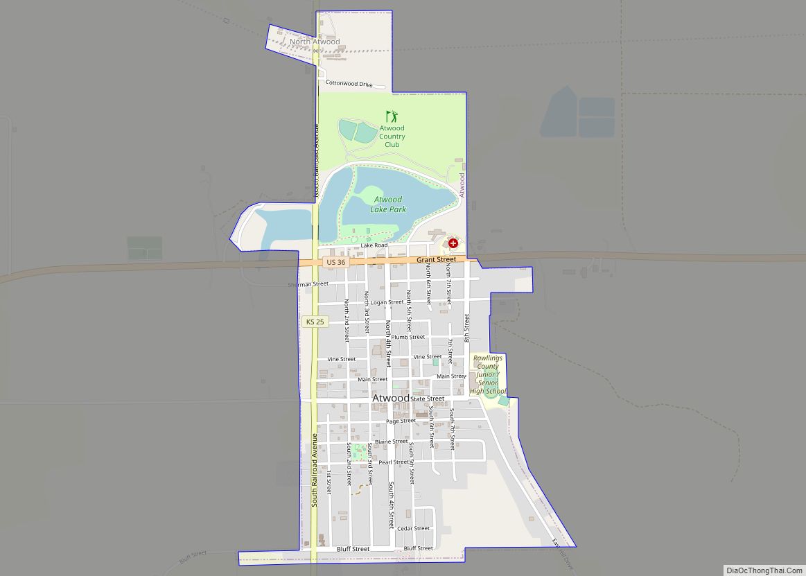
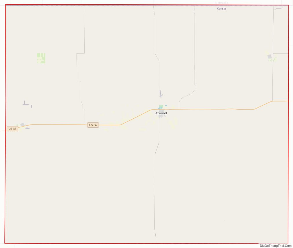
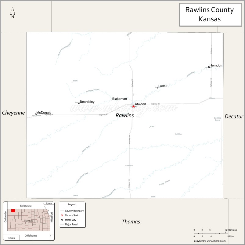
| Seat: | Atwood |
| Largest city: | Atwood |
| Total Area: | 1,070 sq mi (2,800 km²) |
| Land Area: | 1,069 sq mi (2,770 km²) |
| Total Population: | 2,561 |
| Population Density: | 2.4/sq mi (0.9/km²) |
| Time zone: | UTC−6 (Central) |
| Summer Time Zone (DST): | UTC−5 (CDT) |
| Website: | County Website |
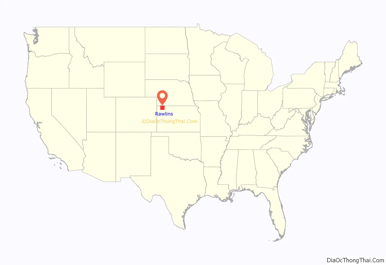
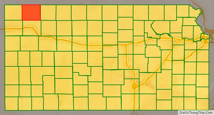
Rawlins County location map. Where is Rawlins County?
History
Early history
For many millennia, the Great Plains of North America was inhabited by nomadic Native Americans. From the 16th century to 18th century, the Kingdom of France claimed ownership of large parts of North America. In 1762, after the French and Indian War, France secretly ceded New France to Spain, per the Treaty of Fontainebleau.
19th century
In 1802, Spain returned most of the land to France, but keeping title to about 7,500 square miles. In 1803, most of the land for modern day Kansas was acquired by the United States from France as part of the 828,000 square mile Louisiana Purchase for 2.83 cents per acre.
In 1854, the Kansas Territory was organized, then in 1861 Kansas became the 34th U.S. state. In 1873, Rawlins County was established.
Rawlins County Road Map
Geography
According to the U.S. Census Bureau, the county has a total area of 1,070 square miles (2,800 km), of which 1,069 square miles (2,770 km) is land and 0.2 square miles (0.52 km) (0.1%) is water.
Major highways
- U.S. Highway 36
- Kansas Highway 25
- Kansas Highway 117
Adjacent counties
- Hitchcock County, Nebraska (north)
- Red Willow County, Nebraska (northeast)
- Decatur County (east)
- Thomas County (south)
- Sherman County (southwest/Mountain Time border)
- Cheyenne County (west)
- Dundy County, Nebraska (northwest/Mountain Time border)
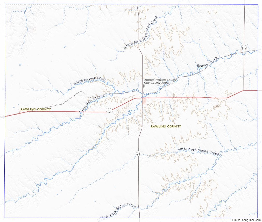
Rawlins County Topographic Map
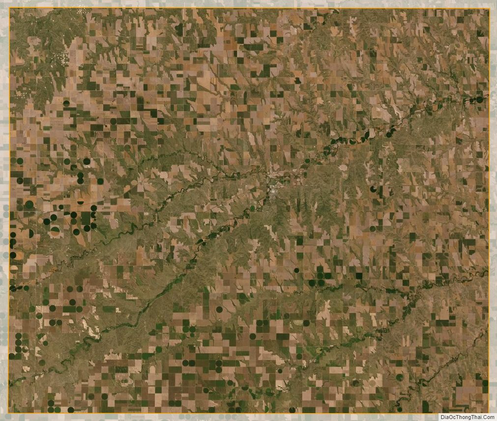
Rawlins County Satellite Map
Rawlins County Outline Map