Renville County is a county in the U.S. state of Minnesota. As of the 2020 census the population was 14,723. Its county seat is Olivia.
| Name: | Renville County |
|---|---|
| FIPS code: | 27-129 |
| State: | Minnesota |
| Founded: | 1855 |
| Named for: | Joseph Renville |
| Seat: | Olivia |
| Largest city: | Olivia |
| Total Area: | 987 sq mi (2,560 km²) |
| Land Area: | 983 sq mi (2,550 km²) |
| Total Population: | 14,723 |
| Population Density: | 15.0/sq mi (5.8/km²) |
| Time zone: | UTC−6 (Central) |
| Summer Time Zone (DST): | UTC−5 (CDT) |
| Website: | www.renvillecountymn.com |
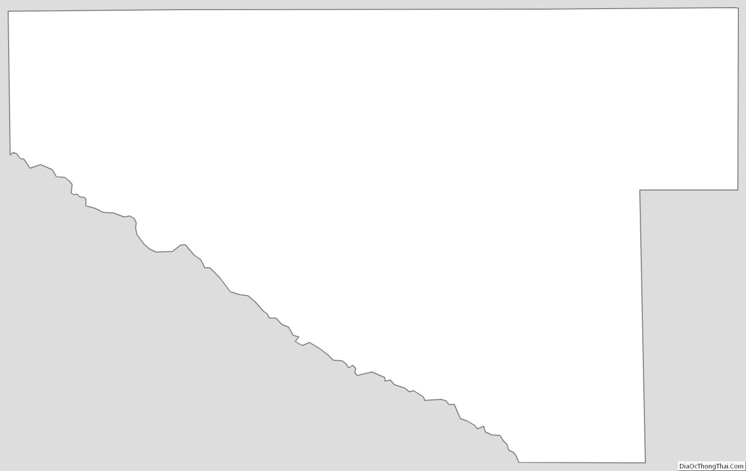
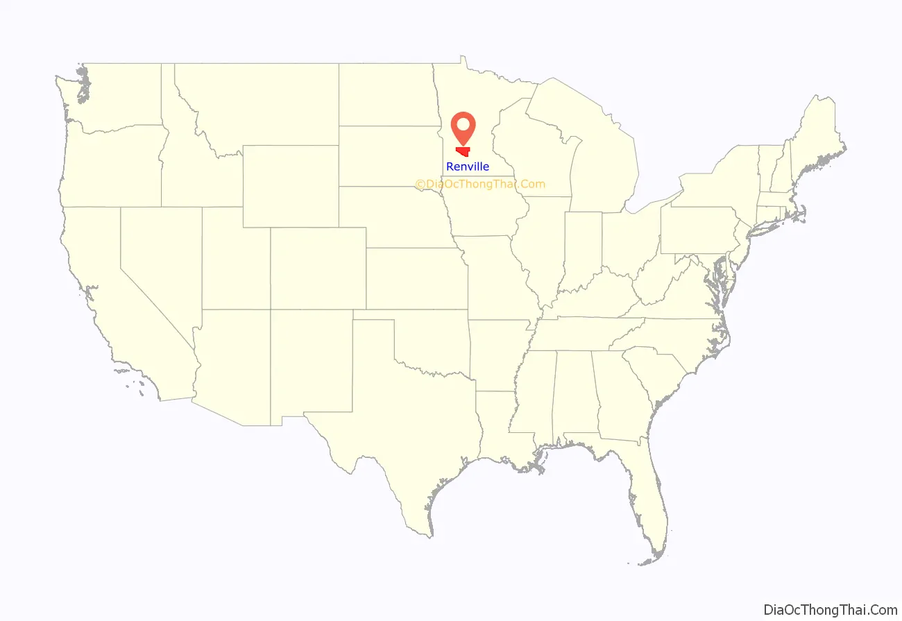
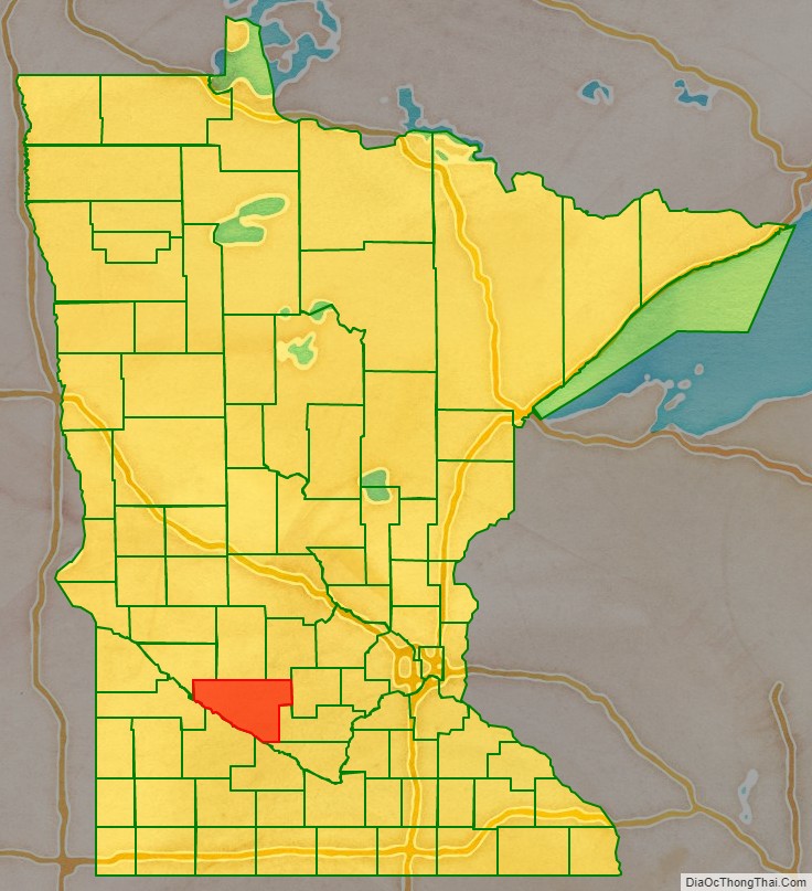
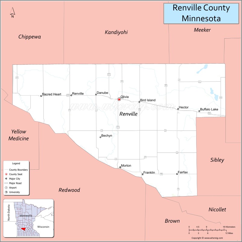
Renville County location map. Where is Renville County?
History
The Minnesota Territory legislature created the county on February 20, 1855. It was named for Joseph Renville, a fur trapper, trader, British officer in the War of 1812, and interlocutor with local Native American groups. Organization of the county’s governing structure was completed on November 8, 1866, with Beaver Falls as county seat. Beginning in 1885, citizens in and around Olivia began pressing for the seat to be moved to Olivia, which happened in 1900.
Renville County was the site of several engagements in the Dakota War of 1862, most notably the Battle of Birch Coulee. The burned-out Joseph Brown House Ruins still stand, and various monuments throughout the County memorialize settlers killed in the conflict.
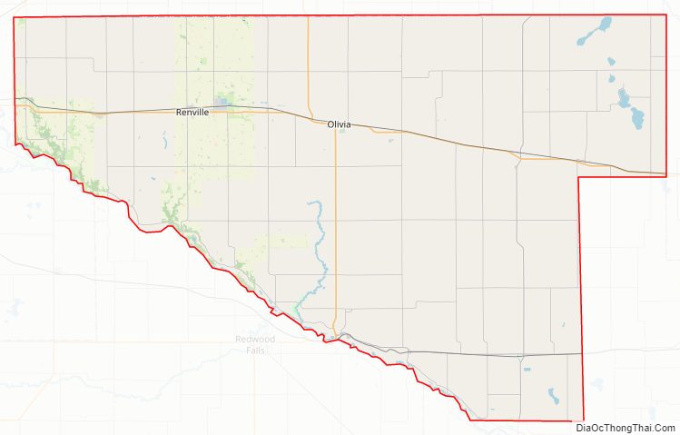
Renville County Road Map
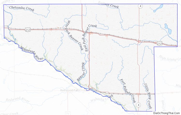
Geography
The Minnesota River flows southeast along the county’s southwestern border. Hawk Creek flows south through the county’s western end, discharging into the Minnesota. Beaver Creek drains the central part of the county, flowing southeast before turning southwest to discharge into the Minnesota. The county terrain consists of rolling hills etched by drainages and sprinkled with lakes and ponds. The area is devoted to agriculture. The county terrain slopes to the south, with its highest point near the midpoint of the northern border, at 1,122′ (342m) ASL. The county has a total area of 987 square miles (2,560 km), of which 983 square miles (2,550 km) is land and 4.2 square miles (11 km) (0.4%) is water.
Major highways
- U.S. Highway 71
- U.S. Highway 212
- Minnesota State Highway 4
- Minnesota State Highway 19
- Minnesota State Highway 23
Adjacent counties
- Kandiyohi County – north
- Meeker County – northeast
- McLeod County – east
- Sibley County – southeast
- Nicollet County – southeast
- Brown County – south
- Redwood County – southwest
- Yellow Medicine County – west
- Chippewa County – northwest
Renville, Beltrami, and Stearns are Minnesota’s only counties that abut nine other counties.
Lakes
- Beckendorf Lake
- Boon Lake
- Hodgson Lake
- Lake Allie
- Mud Lake
- Phare Lake
- Preston Lake
- Round Grove Lake (part)
- Round Lake
Protected areas
- Beaver Falls County Park
- Camp Town Park
- County Park No. 2
- County Park No. 4
- Fort Ridgely State Park (part)
- Prieve State Wildlife Management Area (part)
- Skalbekken County Park
Renville County Topographic Map
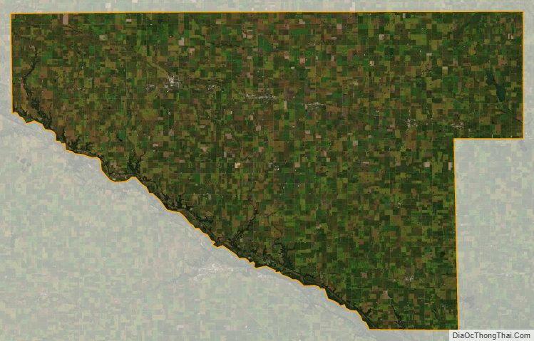
Renville County Satellite Map
Renville County Outline Map