Meeker County is a county in the U.S. state of Minnesota. As of the 2020 census, the population was 23,400. Its county seat is Litchfield.
| Name: | Meeker County |
|---|---|
| FIPS code: | 27-093 |
| State: | Minnesota |
| Founded: | February 23, 1856 |
| Named for: | Bradley B. Meeker, an associate justice of Minnesota Territorial Court |
| Seat: | Litchfield |
| Largest city: | Litchfield |
| Total Area: | 645 sq mi (1,670 km²) |
| Land Area: | 608 sq mi (1,570 km²) |
| Total Population: | 23,400 |
| Population Density: | 38.5/sq mi (14.9/km²) |
| Time zone: | UTC−6 (Central) |
| Summer Time Zone (DST): | UTC−5 (CDT) |
| Website: | www.co.meeker.mn.us |
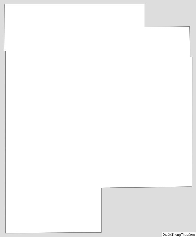
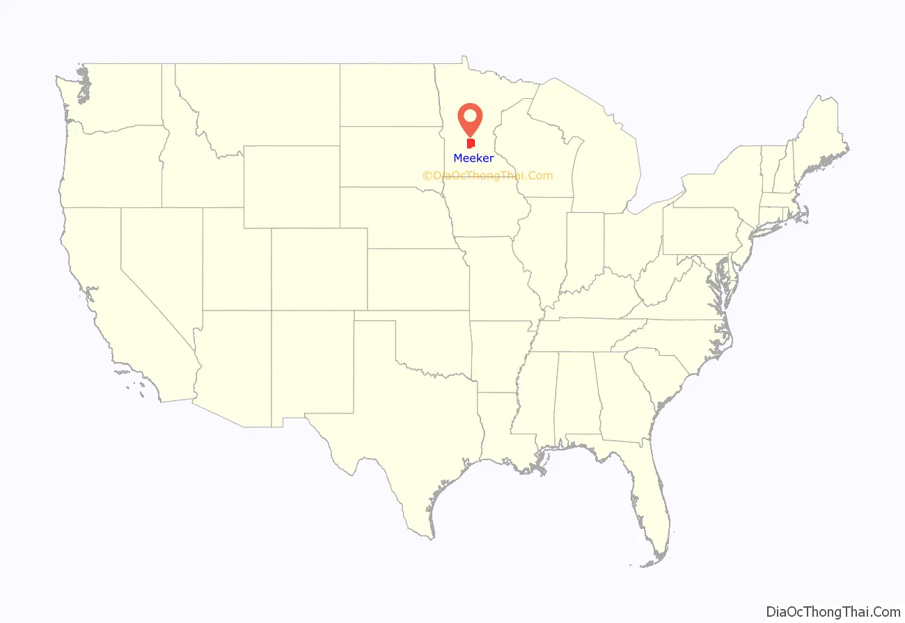
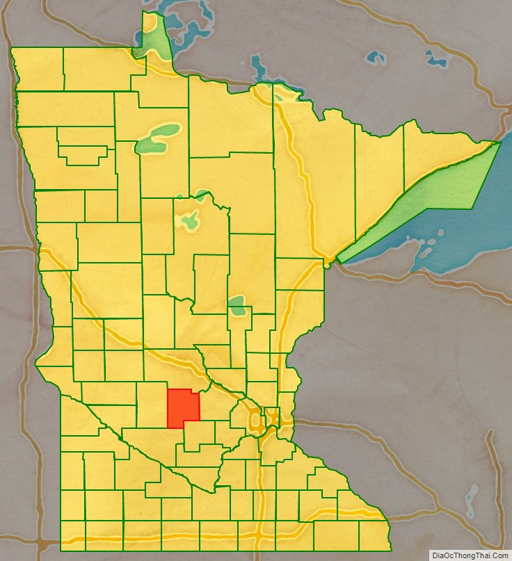
Meeker County location map. Where is Meeker County?
History
The Wisconsin Territory was established by the federal government effective July 3, 1836, and existed until its eastern portion was granted statehood (as Wisconsin) in 1848. The federal government set up the Minnesota Territory effective March 3, 1849. The newly organized territorial legislature created nine counties across the territory in October of that year. One of those original counties, Dakota, had portions partitioned off to create Cass (1851), Nicollet (1853), Pierce (1853), and Sibley (1853) counties. In 1855 portions of those counties were carved out to create Davis, and on February 23, 1856, the territorial legislature created Meeker County from a portion of Davis. It was named for Bradley B. Meeker (1813-1873), who served on the Minnesota Territorial Supreme Court from 1849 to 1853. The area of Forest City was first settled in the 1850s, and the village was named the county seat in 1856. It was platted as Forest City in 1857.
In 1856 the first settlers moved into the future Litchfield; the resulting settlement was named Ness. The area grew, and with the arrival of a spur from the St. Paul and Pacific Railroad, the vote was taken to move the county seat to this area in the fall of 1869. Upon being platted in 1869, the city was renamed Litchfield.
On March 20, 1858, the western portion of Meeker County was partitioned off to create Kandiyohi County. Meeker County’s boundaries have remained unchanged since then.
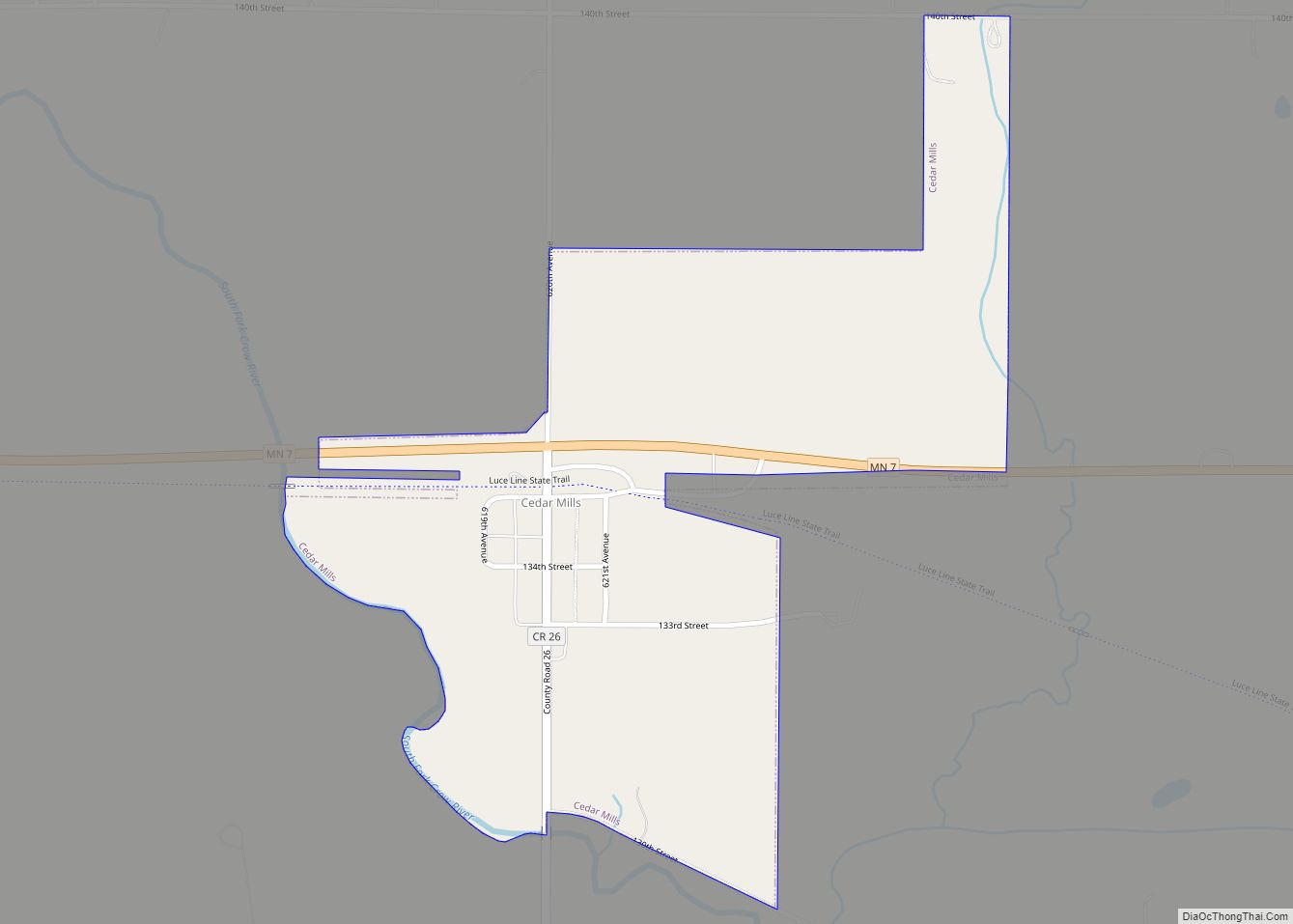
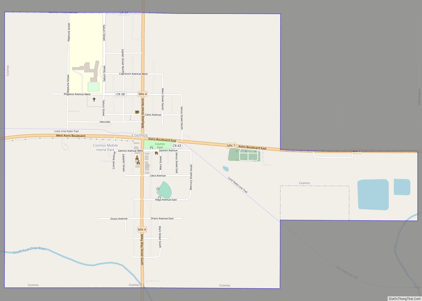
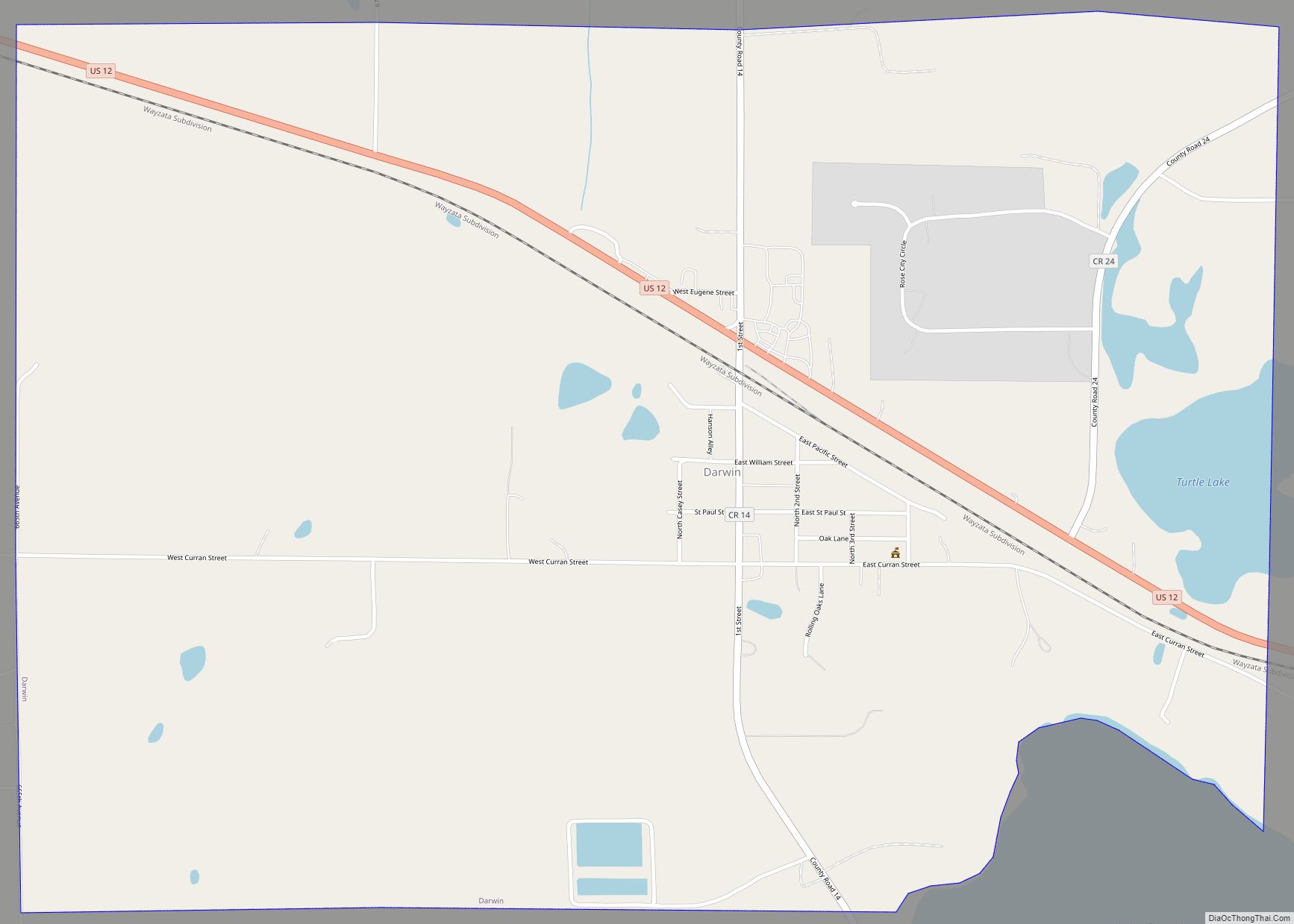
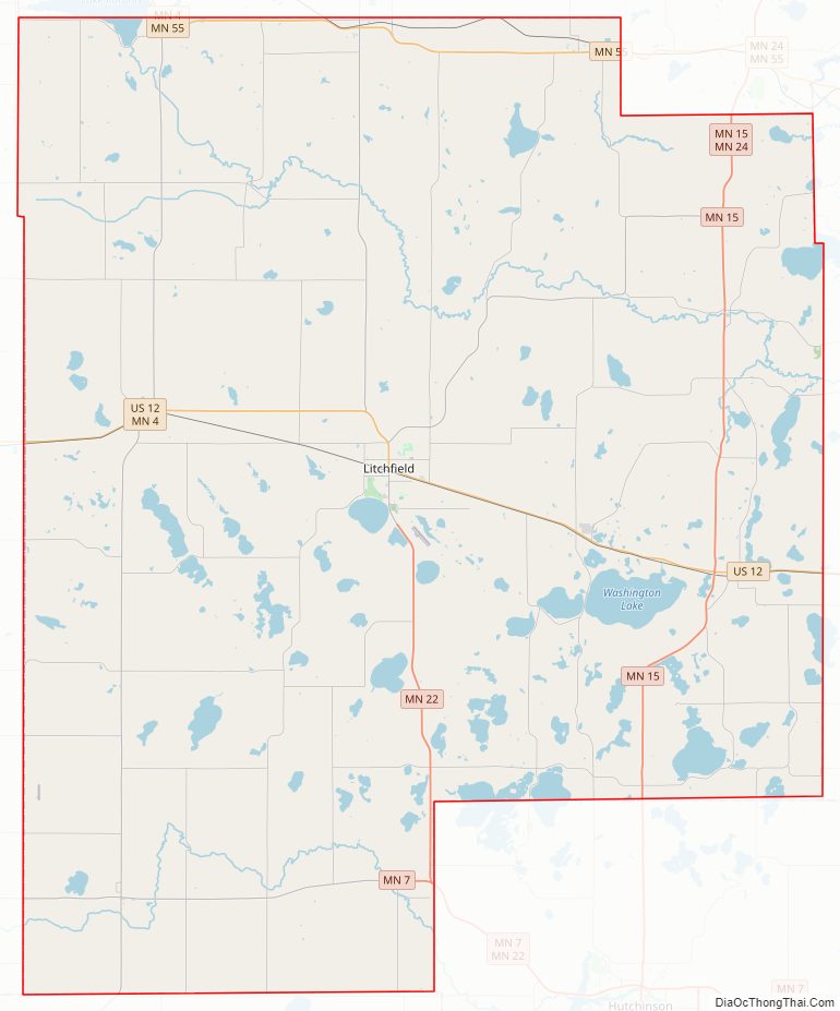
Meeker County Road Map
Geography
Meeker County’s terrain consists of low rolling hills, lightly wooded and heavily dotted with lakes and ponds. The available area is devoted to agriculture. The terrain slopes to the south and east, with its highest point just southwest of Lake Hope, 7.9 miles (12.7 km) west-southwest of Litchfield, at 1,261′ (384m) ASL. The county has a total area of 645 square miles (1,670 km), of which 608 square miles (1,570 km) is land and 37 square miles (96 km) (5.7%) is water.
Major highways
- U.S. Highway 12
- Minnesota State Highway 4
- Minnesota State Highway 7
- Minnesota State Highway 15
- Minnesota State Highway 22
- Minnesota State Highway 24
- Minnesota State Highway 55
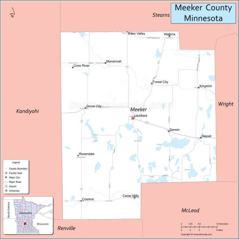
Adjacent counties
- Stearns County – north
- Wright County – east
- McLeod County – southeast
- Renville County – southwest
- Kandiyohi County – west
Protected areas
- Acton State Wildlife Management Area
- Greenleaf Lake State Recreation Area
- Greenleaf State Wildlife Management Area
- Knapp State Wildlife Management Area (part)
- Madsen State Wildlife Management Area
- Popular State Wildlife Management Area
- Wieker State Wildlife Management Area
Meeker County Topographic Map
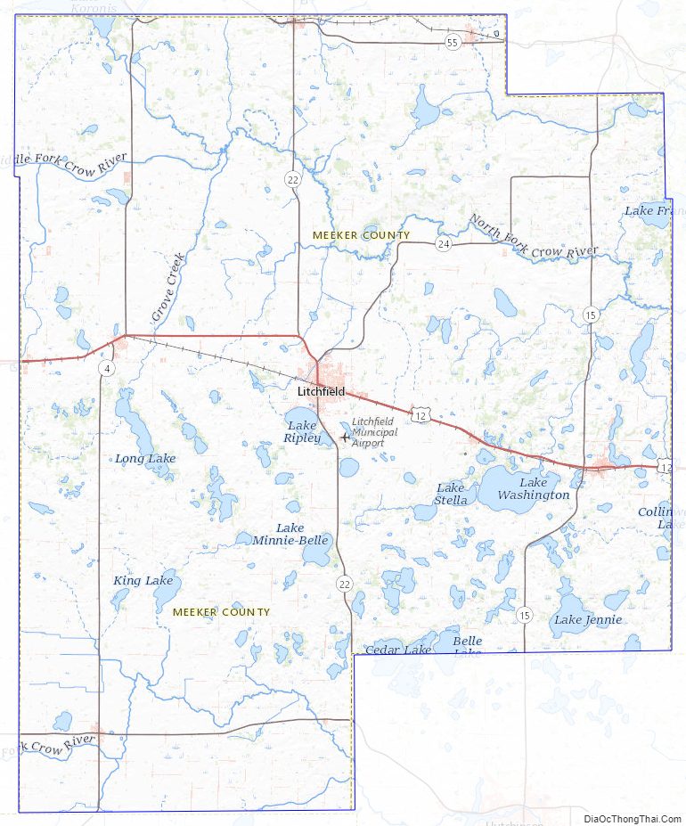
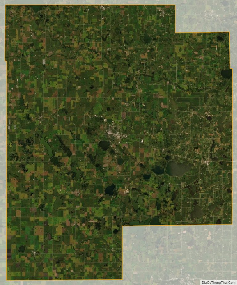
Meeker County Satellite Map
Meeker County Outline Map