Minot (/ˈmaɪnɒt/ (listen) MY-not) is a city in and the county seat of Ward County, North Dakota, United States, in the state’s north-central region. It is most widely known for the Air Force base approximately 15 miles (24 km) north of the city. With a population of 48,377 at the 2020 census, Minot is the state’s fourth-largest city and a trading center for a large part of northern North Dakota, southwestern Manitoba, and southeastern Saskatchewan. Founded in 1886 during the construction of James J. Hill’s Great Northern Railway, Minot is also known as “Magic City”, commemorating its remarkable growth in size over a short time.
Minot is the principal city of the Minot micropolitan area, a micropolitan area that covers McHenry, Renville, and Ward counties and had a combined population of 77,546 at the 2020 census.
| Name: | Minot city |
|---|---|
| LSAD Code: | 25 |
| LSAD Description: | city (suffix) |
| State: | North Dakota |
| County: | Ward County |
| Founded: | 1886 |
| Incorporated: | July 16, 1887 |
| Elevation: | 1,611 ft (491 m) |
| Land Area: | 27.68 sq mi (71.70 km²) |
| Water Area: | 0.03 sq mi (0.09 km²) |
| Population Density: | 1,747.53/sq mi (674.71/km²) |
| Area code: | 701 |
| FIPS code: | 3853380 |
| GNISfeature ID: | 1030249 |
| Website: | minotnd.org |
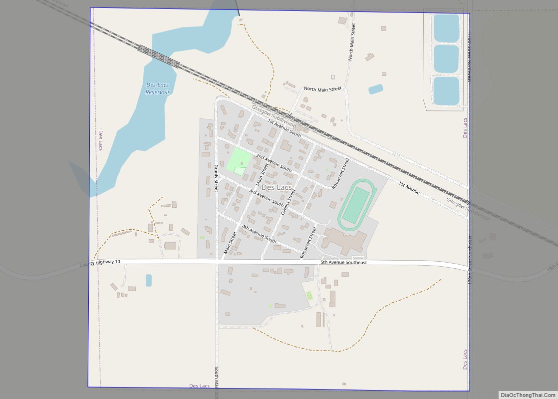
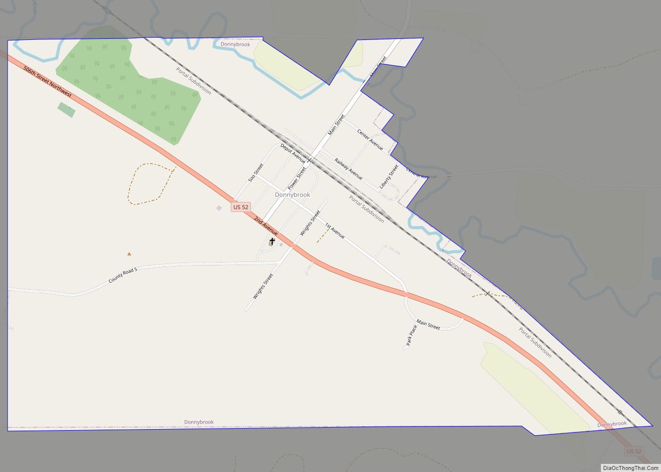
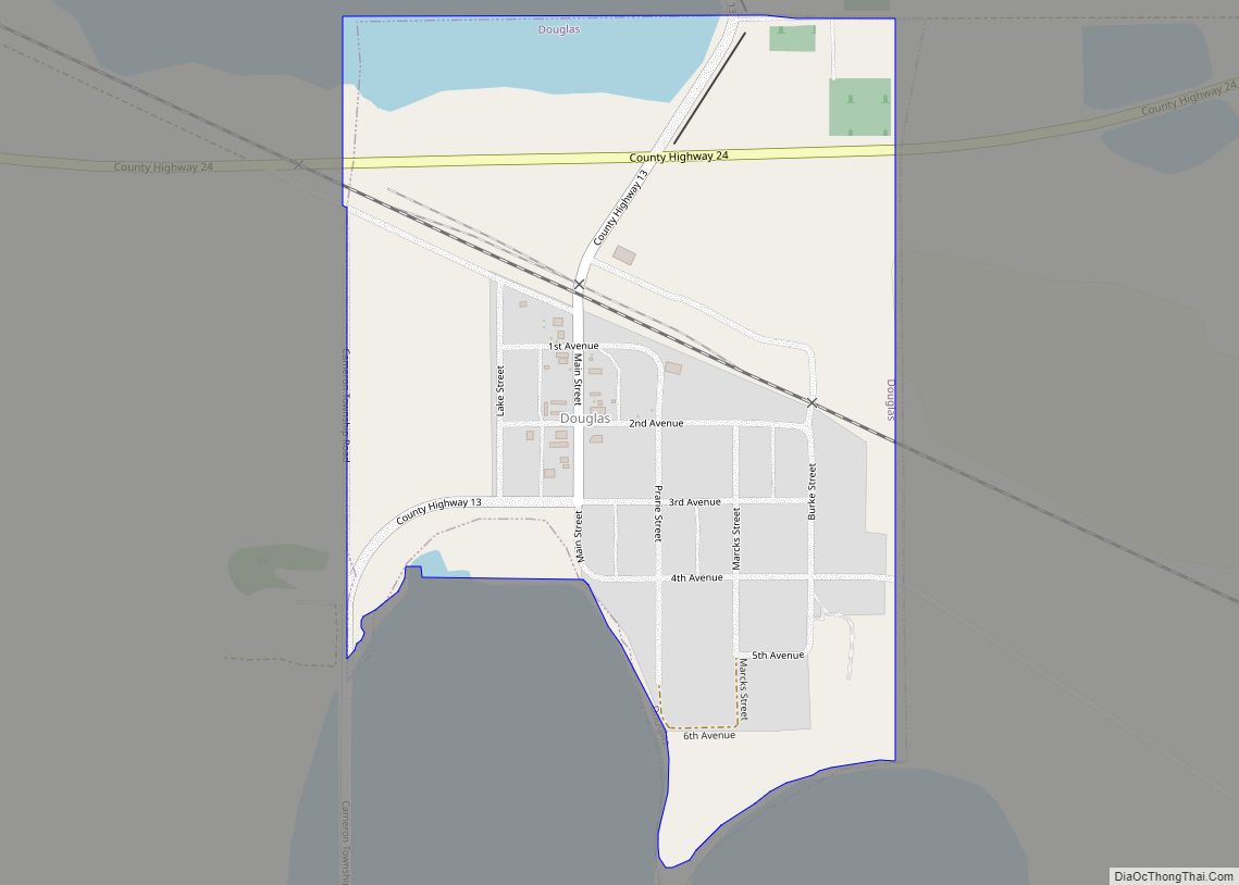
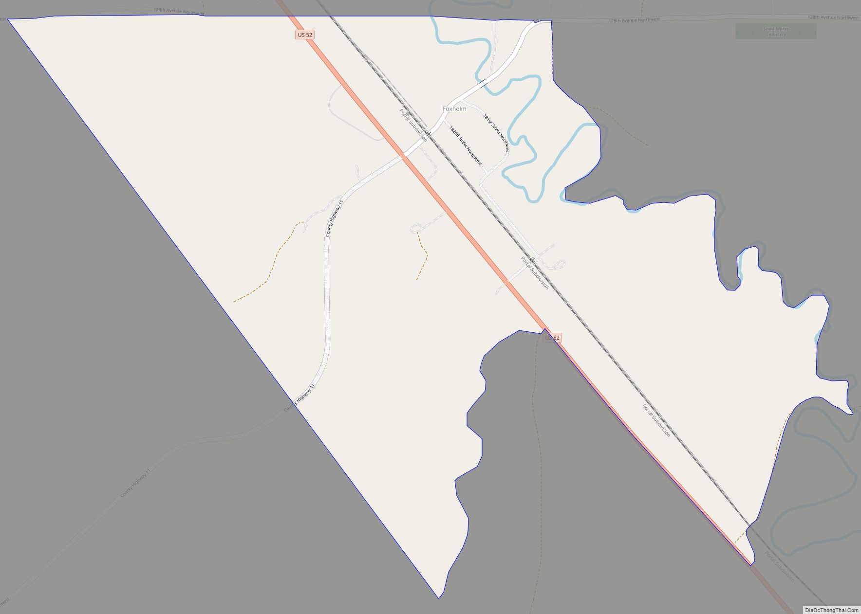
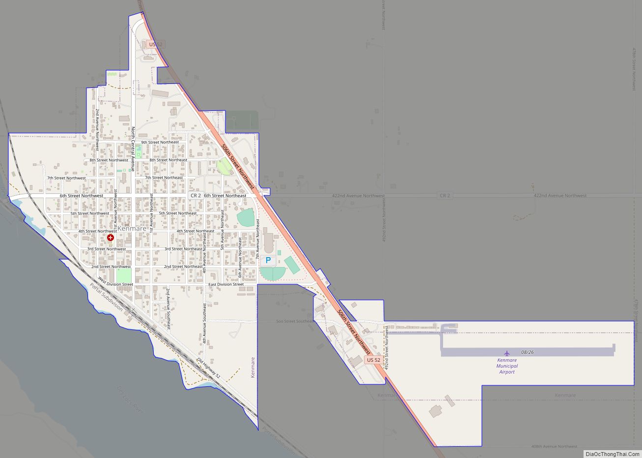
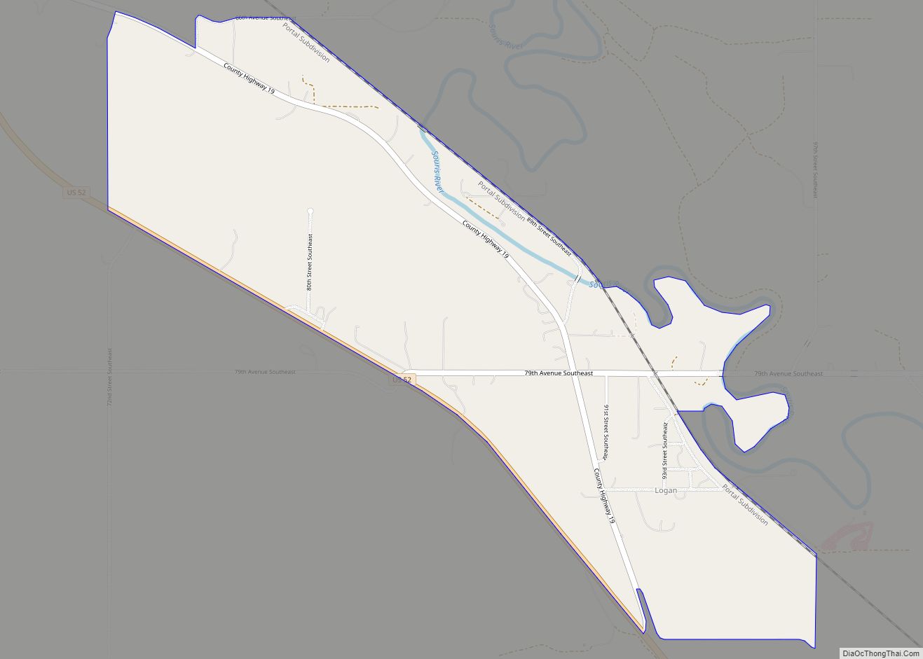
Online Interactive Map
Click on ![]() to view map in "full screen" mode.
to view map in "full screen" mode.
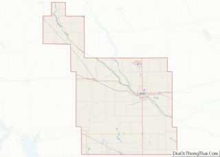
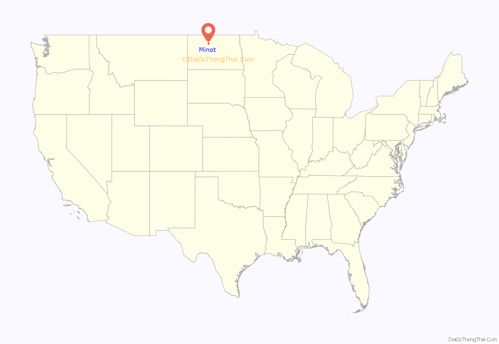
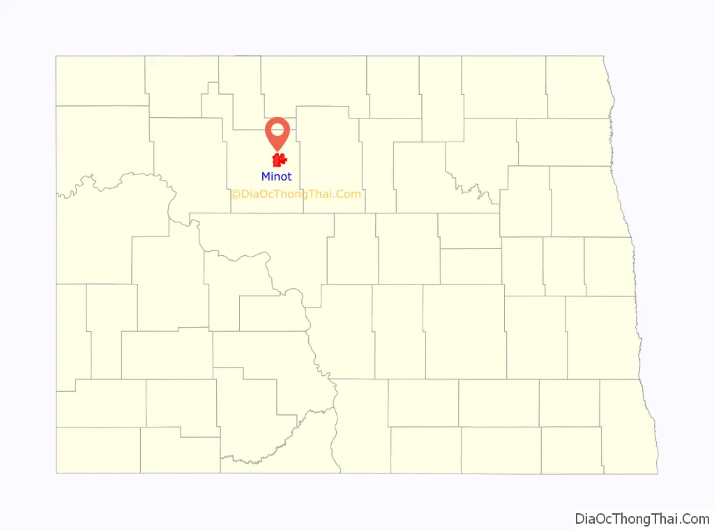
Minot location map. Where is Minot city?
History
Minot came into existence in 1886, after the railroad laid track through the area. A tent town sprang up overnight, as if by “magic”, giving Minot its first nickname, the Magic City, and in the next five months, the population increased to over 5,000, further bolstering the nickname. The town site was chosen by the railroad to be placed on the land of then-homesteader Erik Ramstad. Ramstad was convinced to relinquish his claim and became one of the city leaders. The town was named after Henry D. Minot, a railroad investor, ornithologist and friend of Hill. Its Arikara name is niwaharít sahaáhkat; its Hidatsa name is dibiarugareesh (“Plum Coulee”).
The city was incorporated on July 16, 1887. The Minneapolis, St. Paul and Sault Ste. Marie Railroad (Soo Line) later built a line from Valley City to Canada. While initially their plan was to cross the Mouse River at Burlington, local interests and arguments convinced them otherwise; landholders along the new route donated the right-of-way. They reached Minot in 1893.
On July 22, 1920, a tornado passed over Minot and bore down in a coulee 3 miles (4.8 km) southeast of town. The tornado picked up Andy Botz’s home and hurled it to the ground, killing his wife, breaking Botz’s shoulder, and slightly injuring the two Botz children who were in the house.
Minot and its surrounding area were wide open from 1905 to 1920. The population grew rapidly due to railroad construction and availability of unclaimed land. Nearly complete court records of Ward County and Minot document the prevalence and different types of criminal activity, and offer strong support for the epithet “crime capitol of North Dakota”. State attorney general William Langer helped clean up the town in 1917–1920, but by the time Prohibition arrived in the 1920s, Minot had become a center of illegal activities associated with the High Third district, exacerbated because the city was a supply hub of Al Capone’s liquor smuggling operations. The hotbed of alcohol bootlegging, prostitution, and opium dens that sprang up in the Downtown area soon led people to nickname Minot “Little Chicago”. The smugglers used a network of tunnels (some previously built for heating or deliveries) to transport and conceal illicit cargo entering from Canada.
The 1950s saw a large influx of federal funding into the region, with the construction of Minot Air Force Base (1956–1957) thirteen miles (21 km) north of the city, and Garrison Dam (1947–1953) on the Missouri River, about fifty miles (80 km) south. In 1969, a severe flood on the Mouse River devastated Minot. Afterward, the Army Corps of Engineers straightened the river’s path through the city and built several flood control structures.
On January 18, 2002, a severe train derailment west of the city sent a gigantic cloud of anhydrous ammonia toward Minot and Burlington. One man died and many of Minot’s citizens were sickened and severely injured by the gas, causing one of the worst major chemical accidents of the country. In early 2006, court cases were heard in Minneapolis, Minnesota, against Canadian Pacific Railway, the owner of the derailed train. The anhydrous ammonia spill was the largest such spill in U.S. history. Eric Klinenberg used the incident in his book Fighting for Air: The Battle to Control America’s Media as an example of the failure of mass media, specifically local radio stations, to disseminate information in an emergency.
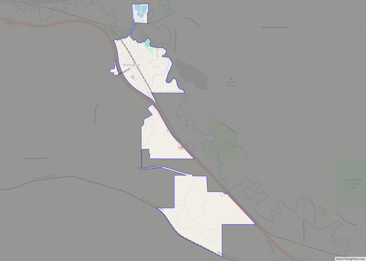
The 2011 Mouse River flood caused extensive damage throughout the Mouse River Valley. On June 21, 2011, KXMC-TV reported that a flood of historic proportions was imminent in the Mouse River Valley, largely due to large dam releases upstream. Around 12,000 people were evacuated. On June 26, flooding exceeded previous records when the river crested at 1,561.72 feet (476.01 m) above sea level, 3 feet (0.91 m) above the previous record set in 1881. It is estimated that 20% of Minot sustained damage from the flood. This figure includes over 4,100 homes that were in some way affected, 2,376 extensively damaged, and 805 damaged beyond repair. Burlington was also severely damaged during this time.
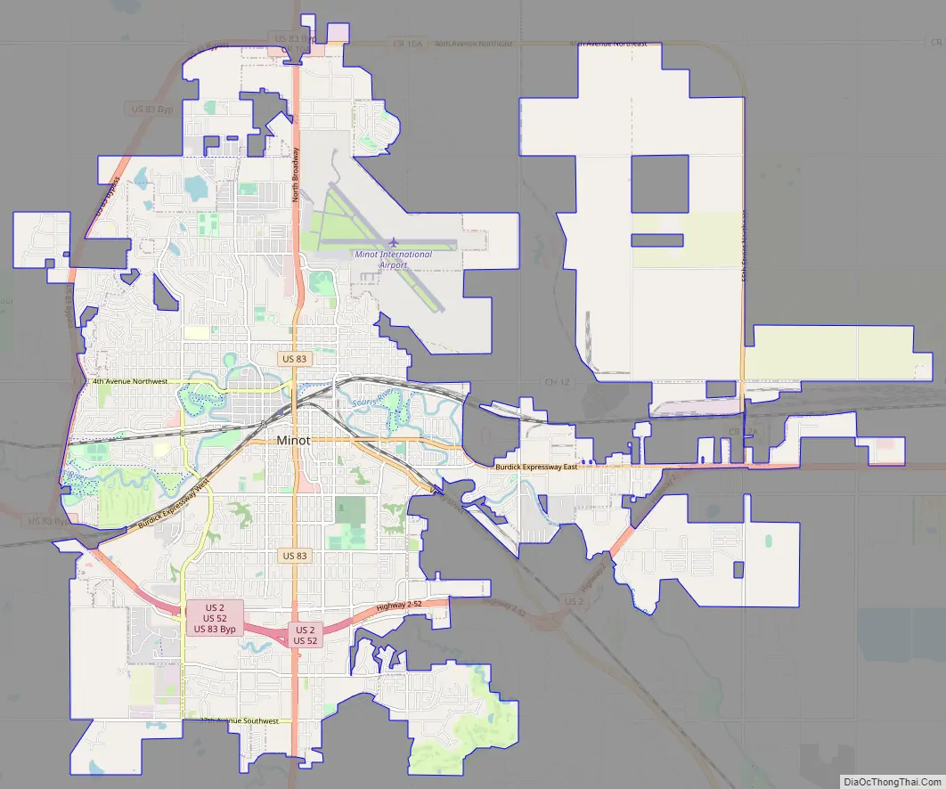
Minot Road Map
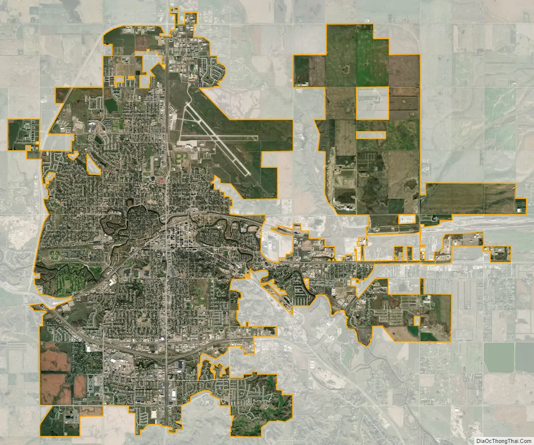
Minot city Satellite Map
Geography
According to the United States Census Bureau, the city has an area of 17.45 square miles (45.20 km), of which 17.43 square miles (45.14 km) is land and 0.02 square miles (0.05 km) is water.
Neighborhoods
Minot is commonly divided into three major sections: North Hill, the Mouse River Valley and South Hill. North Hill is the area roughly north of Eleventh Avenue North and Northwest Avenue. South Hill is a broad area south and west of Valley Street and Fifth Avenue South. West of Sixth Street West, South Hill dips sharply to the southwest. South Hill’s limits are less clearly defined than North Hill’s. Though the neighborhood levels out past 16th Street South, the name South Hill is generally applied to all areas south up to the city limits. Neighborhoods in the Mouse River Valley include Bel Air, Downtown, Eastwood Park, Oak Park and West Minot.
Region
Minot is on the Drift Prairie of northwestern North Dakota. It is at 48°13′59″N 101°17′32″W / 48.23306°N 101.29222°W / 48.23306; -101.29222, about 100 miles (160 km) north of Bismarck. The Mouse River, or Souris River, runs through the city west to east.
Important cities in the region for which Minot is the trading center include Burlington, Velva, Garrison, Stanley, Bottineau, Rugby, and New Town.
Minot is almost entirely land; the Mouse River, its oxbow lakes, and a few creeks take up just 0.14% of the city’s area.
The elevation of the river at the city center is 1,540 feet (470 m) above sea level. The valley sits 160 feet (49 m) below the surrounding plains; the elevation at the Minot International Airport on North Hill is 1,716 feet (523 m). The city has several small horseshoe-shaped oxbow lakes within its limits near the river, created by the Mouse’s meandering course.
Grid and address system
The city is laid out on a grid-based street system. Streets run north-south and avenues run east-west. Streets are numbered by their block distance east or west of Main Street. Avenues are numbered north and south of Central Avenue. There are four city quadrants (NW, SW, SE, NE) to designate the location of any address. Main Street addresses are designated North and South. Central Avenue addresses are designated East and West. The grid system carries over into the rural areas of Ward County, making the county one of only three that do not follow the statewide grid system (the others are Burleigh County and Grand Forks County).
Mouse River
The Mouse River divides the city approximately in half, north and south. The valley rises to the plains both north and south of the river. Although there are names for certain features of these hills, such as Anthony Hill on South Hill, there are no general names for these topographical features. The northern rise and the plateau north of it are called North Hill and the southern rise and plateau south of it are called South Hill.
See also
Map of North Dakota State and its subdivision:- Adams
- Barnes
- Benson
- Billings
- Bottineau
- Bowman
- Burke
- Burleigh
- Cass
- Cavalier
- Dickey
- Divide
- Dunn
- Eddy
- Emmons
- Foster
- Golden Valley
- Grand Forks
- Grant
- Griggs
- Hettinger
- Kidder
- Lamoure
- Logan
- McHenry
- McIntosh
- McKenzie
- McLean
- Mercer
- Morton
- Mountrail
- Nelson
- Oliver
- Pembina
- Pierce
- Ramsey
- Ransom
- Renville
- Richland
- Rolette
- Sargent
- Sheridan
- Sioux
- Slope
- Stark
- Steele
- Stutsman
- Towner
- Traill
- Walsh
- Ward
- Wells
- Williams
- Alabama
- Alaska
- Arizona
- Arkansas
- California
- Colorado
- Connecticut
- Delaware
- District of Columbia
- Florida
- Georgia
- Hawaii
- Idaho
- Illinois
- Indiana
- Iowa
- Kansas
- Kentucky
- Louisiana
- Maine
- Maryland
- Massachusetts
- Michigan
- Minnesota
- Mississippi
- Missouri
- Montana
- Nebraska
- Nevada
- New Hampshire
- New Jersey
- New Mexico
- New York
- North Carolina
- North Dakota
- Ohio
- Oklahoma
- Oregon
- Pennsylvania
- Rhode Island
- South Carolina
- South Dakota
- Tennessee
- Texas
- Utah
- Vermont
- Virginia
- Washington
- West Virginia
- Wisconsin
- Wyoming