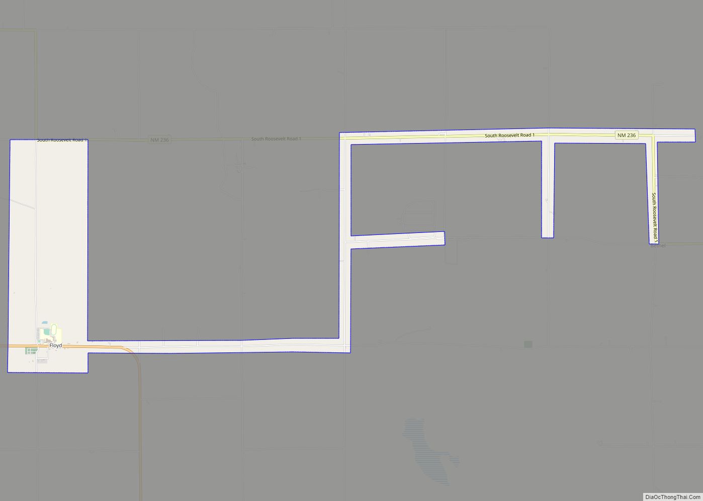
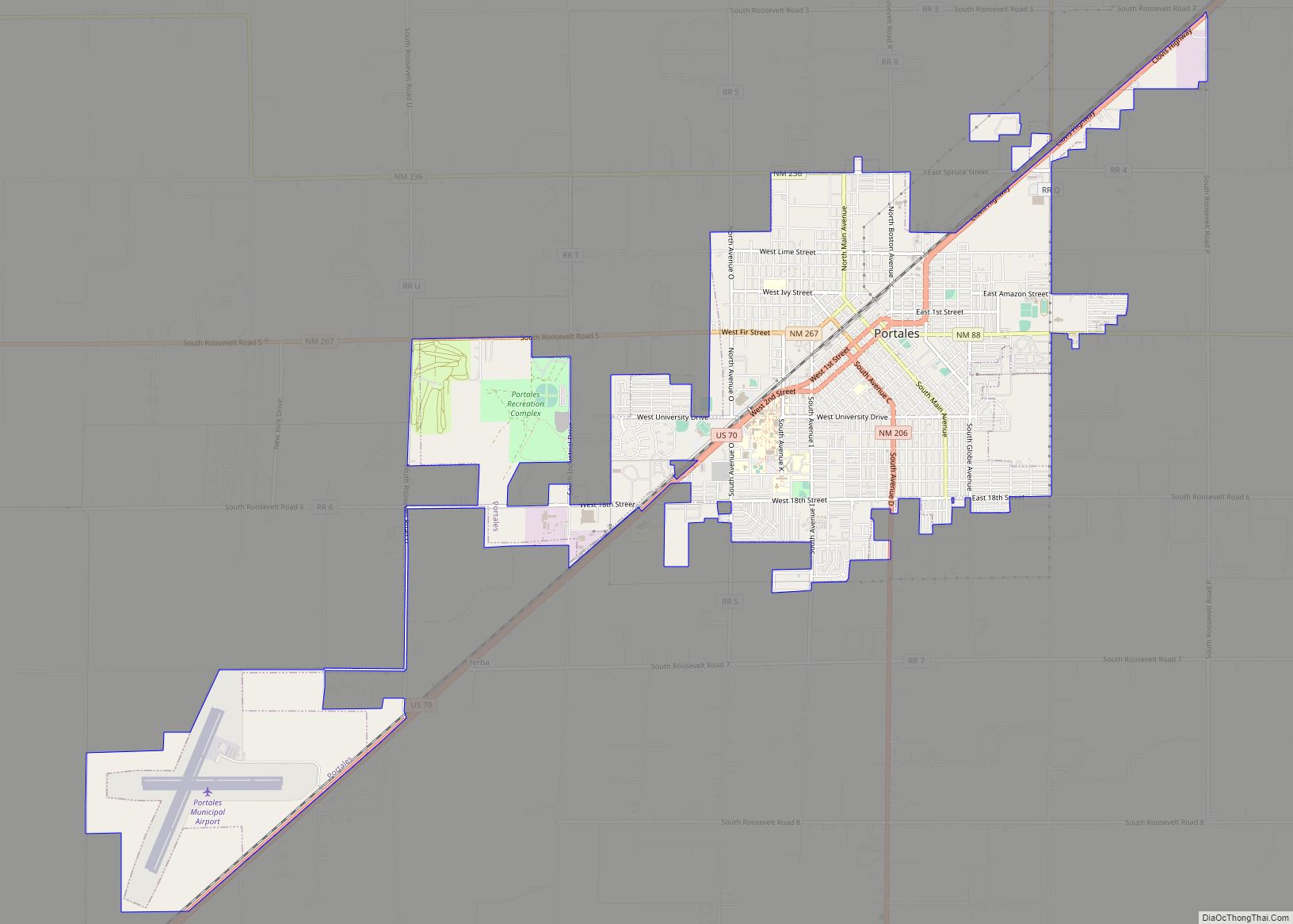
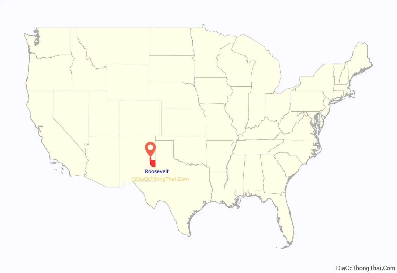
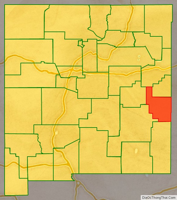
Roosevelt County is a county located in the U.S. state of New Mexico. As of the 2010 census, the population was 19,846. Its county seat is Portales. The county was created in 1903 from Chaves and Guadalupe counties and named for the then-current President of the United States, Theodore Roosevelt. The county’s eastern border is the Texas state line.
Roosevelt County comprises the Portales, NM Micropolitan Statistical Area, which is also included in the Clovis–Portales, NM Combined Statistical Area.
| Name: | Roosevelt County |
|---|---|
| FIPS code: | 35-041 |
| State: | New Mexico |
| Founded: | February 28, 1903 |
| Named for: | Theodore Roosevelt |
| Seat: | Portales |
| Largest city: | Portales |
| Total Area: | 2,455 sq mi (6,360 km²) |
| Land Area: | 2,447 sq mi (6,340 km²) |
| Total Population: | 19,019 |
| Population Density: | 8.1/sq mi (3.1/km²) |
| Time zone: | UTC−7 (Mountain) |
| Summer Time Zone (DST): | UTC−6 (MDT) |
| Website: | www.rooseveltcounty.com |
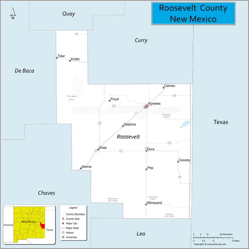
Roosevelt County location map. Where is Roosevelt County?
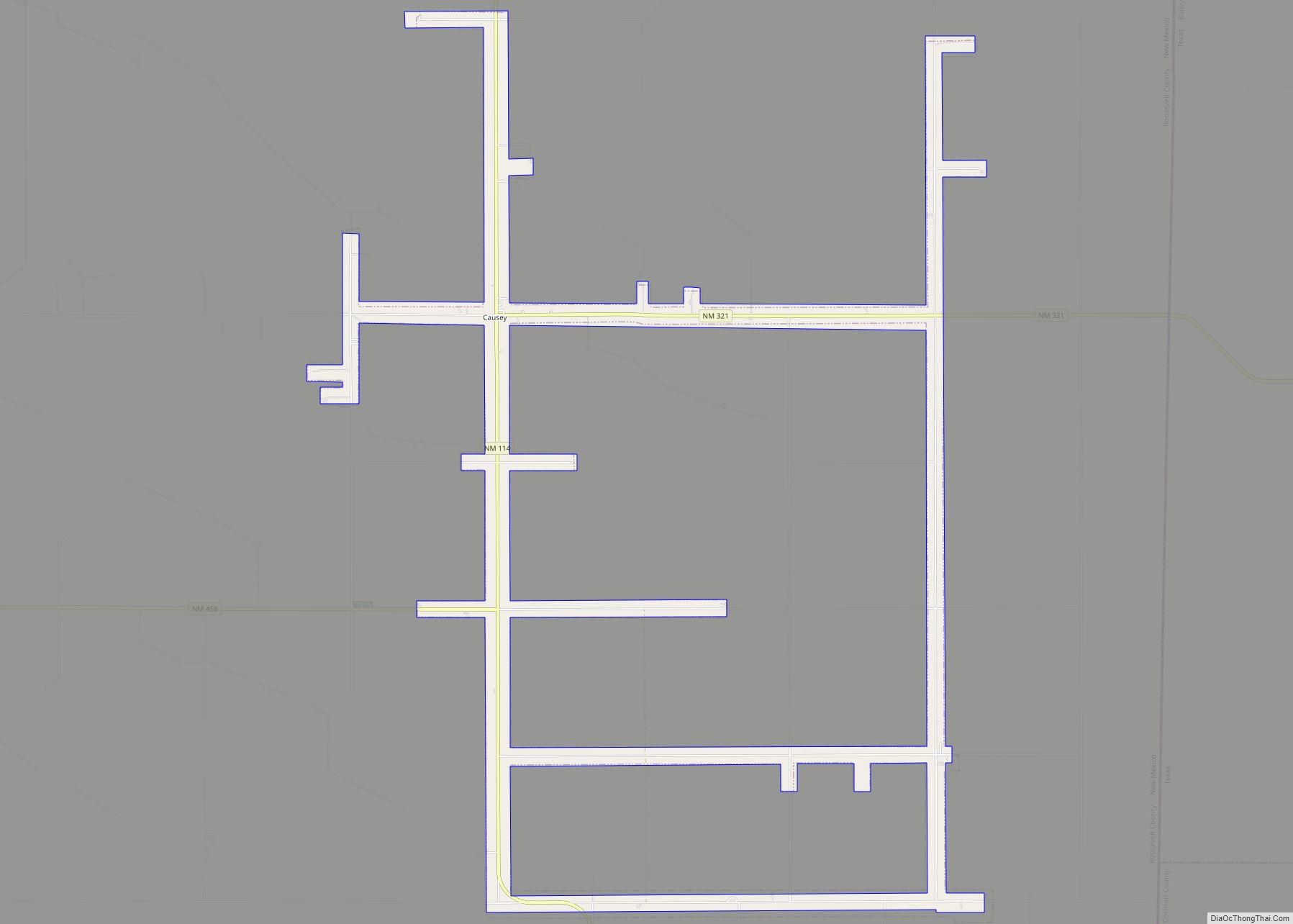
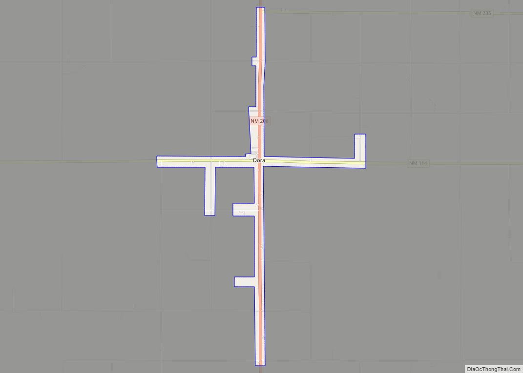
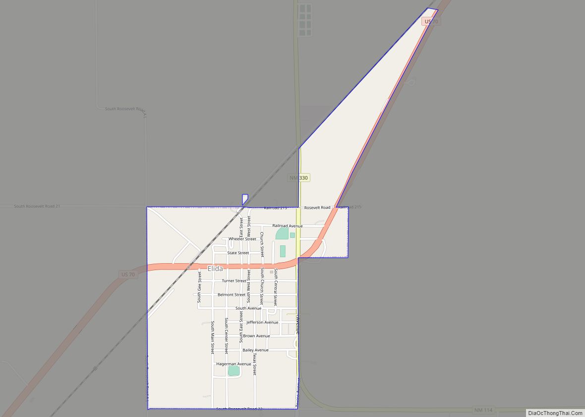
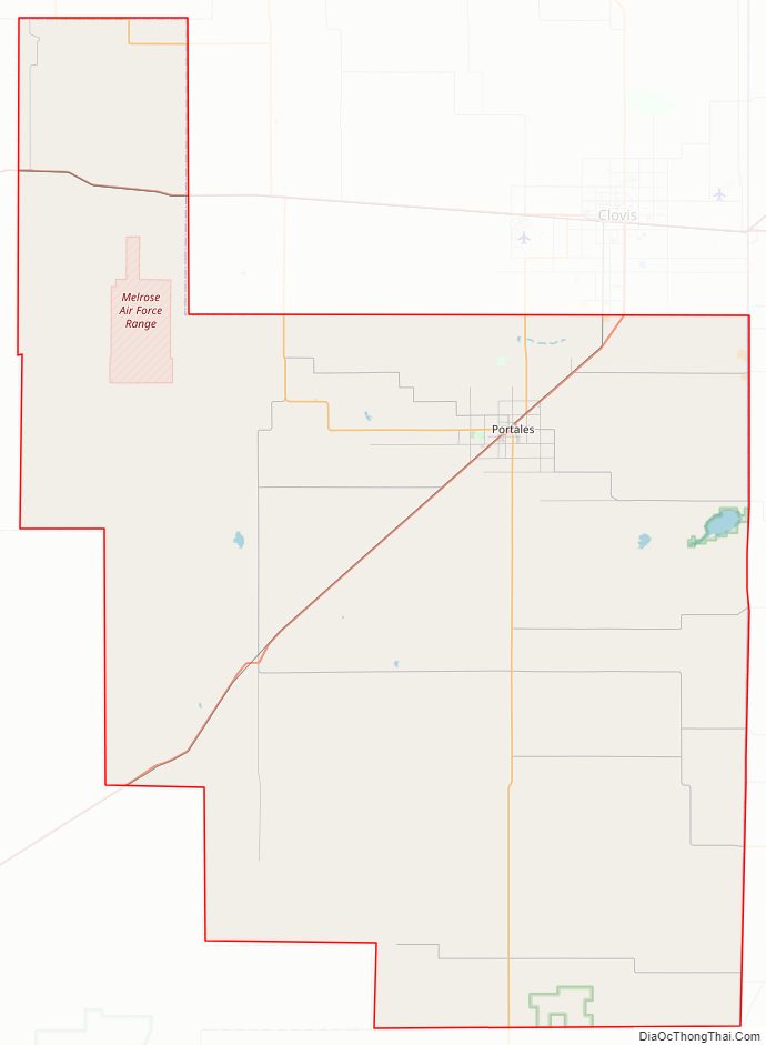
Roosevelt County Road Map
Geography
According to the U.S. Census Bureau, the county has a total area of 2,455 square miles (6,360 km), of which 2,447 square miles (6,340 km) is land and 7.2 square miles (19 km) (0.3%) is water.
Adjacent counties
- Curry County – north
- Quay County – north
- De Baca County – west
- Chaves County – west
- Lea County – south
- Cochran County, Texas – southeast
- Bailey County, Texas – east
National protected area
- Grulla National Wildlife Refuge (part)
Roosevelt County Topographic Map

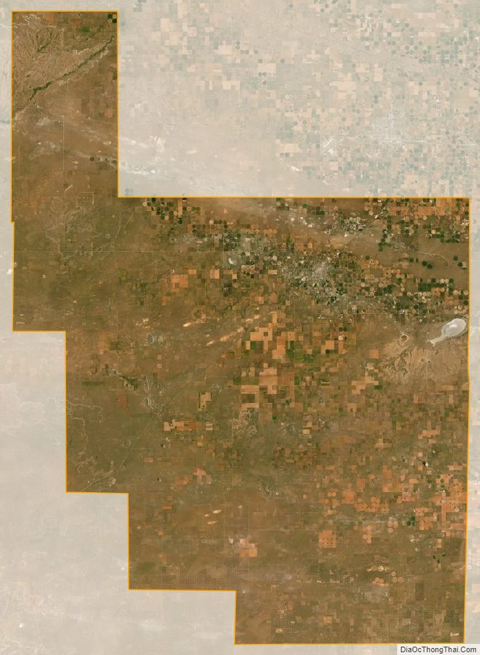
Roosevelt County Satellite Map
Roosevelt County Outline Map