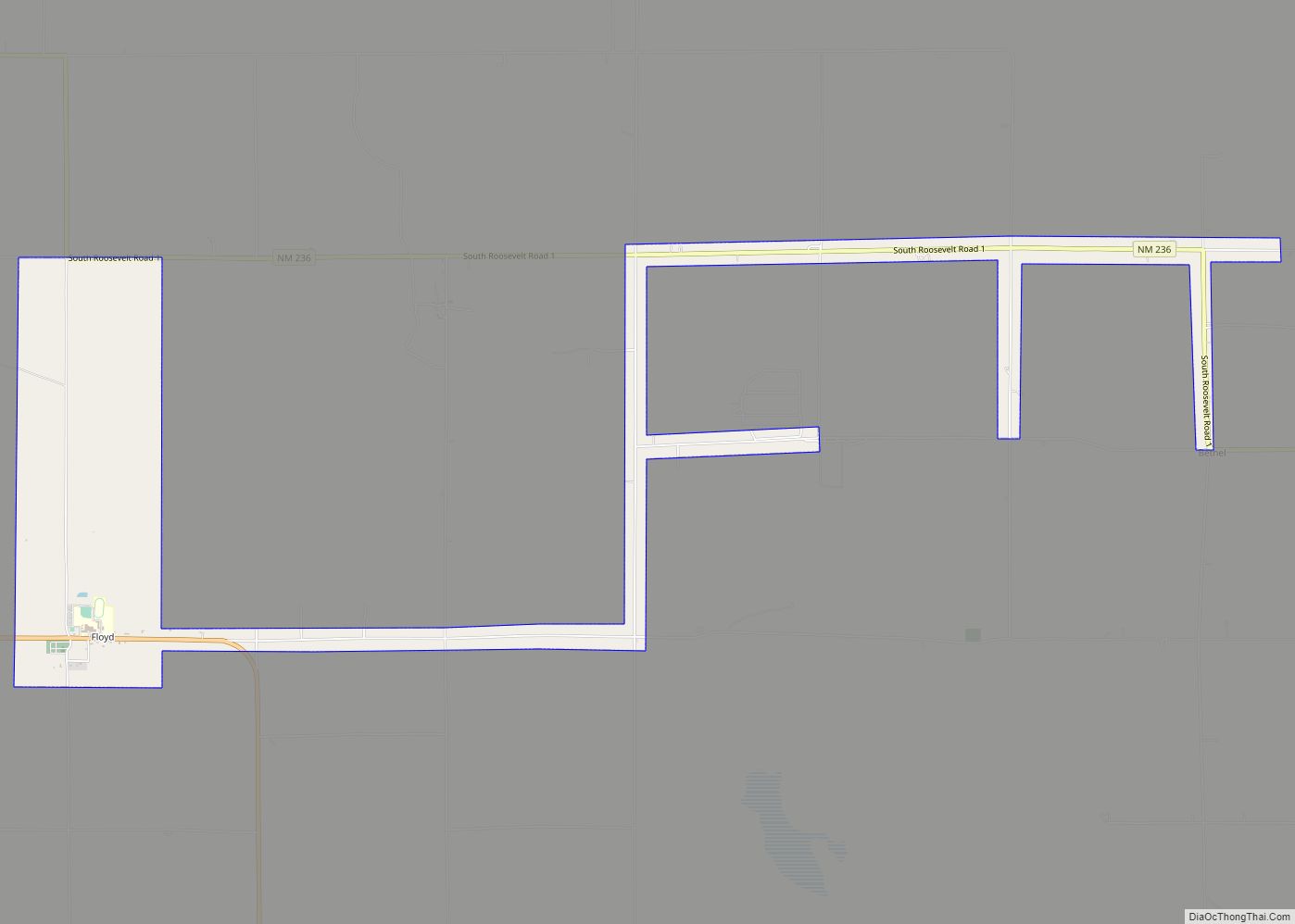
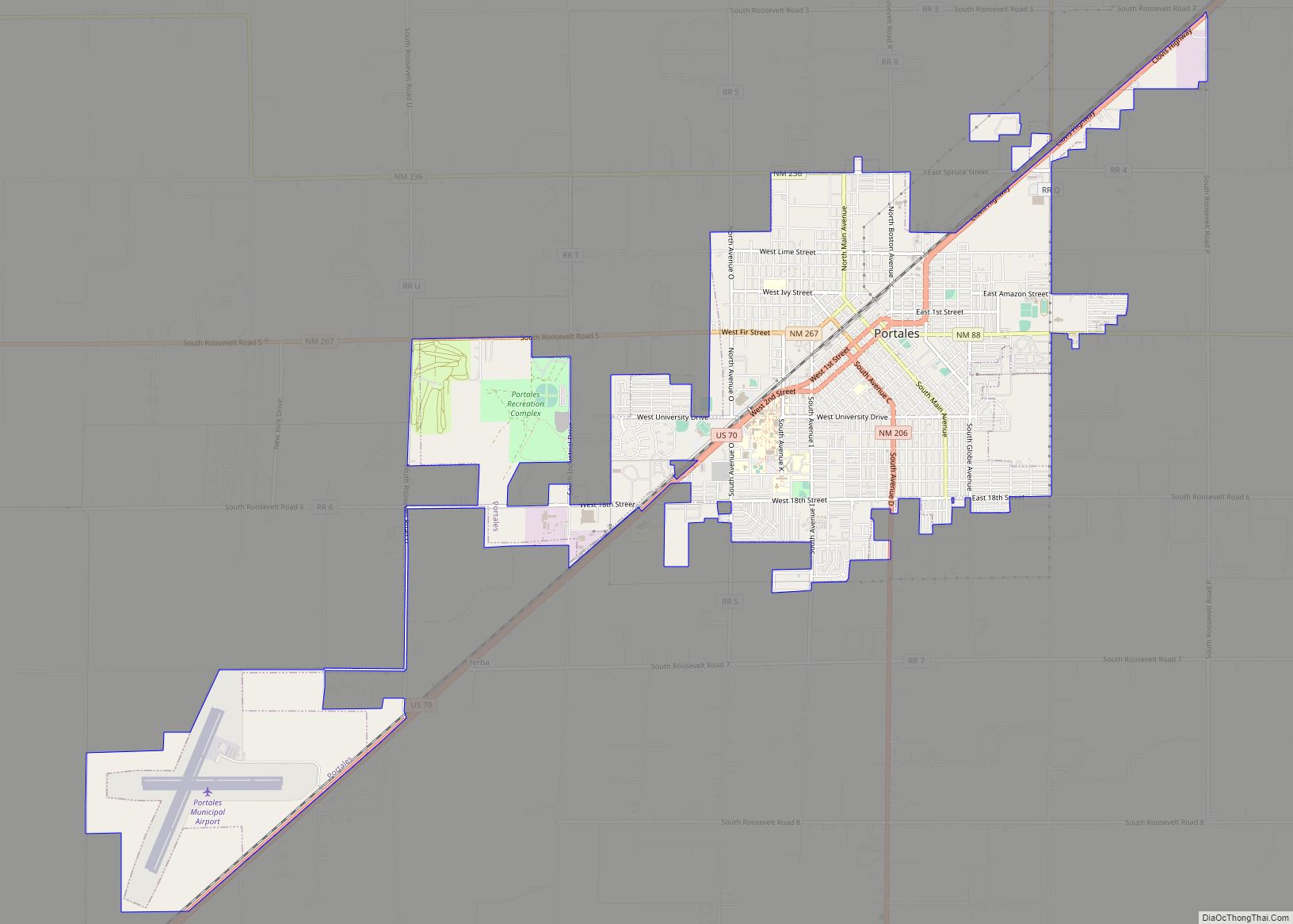
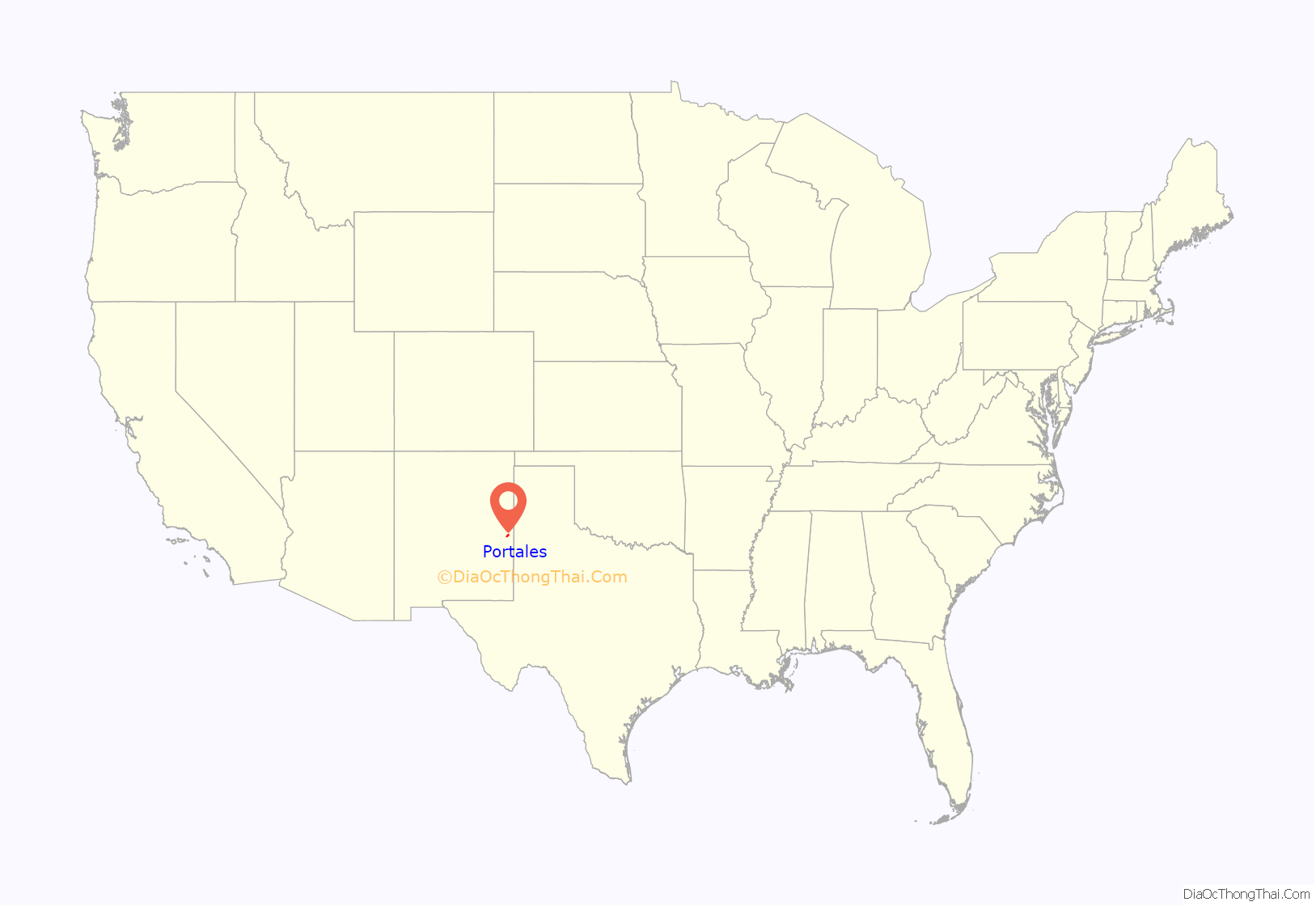
Portales is a city in and the county seat of Roosevelt County, New Mexico, United States. Its population was 12,280 at the 2010 census. Portales is located near the larger city of Clovis, and Cannon Air Force Base, a major contributor to the economy of the region.
Eastern New Mexico University opened in Portales in 1934 as Eastern New Mexico Junior College, and has since grown to become the third-largest university in the state. The area is one of the largest producers of Valencia peanuts in the United States and is the nation’s top producer of certified organic peanut butter. Portales is home to about 40 dairies and a major US dairy solids plant, together producing and exporting hundreds of millions of dollars of local milk products each year. It is the principal city of the Portales micropolitan statistical area, which is part of the larger Clovis-Portales combined statistical area, including Clovis, 19 miles (31 km) away and Cannon Air Force Base, 13 miles (21 km) away.
| Name: | Portales city |
|---|---|
| LSAD Code: | 25 |
| LSAD Description: | city (suffix) |
| State: | New Mexico |
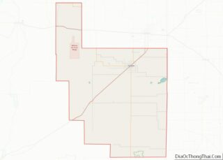
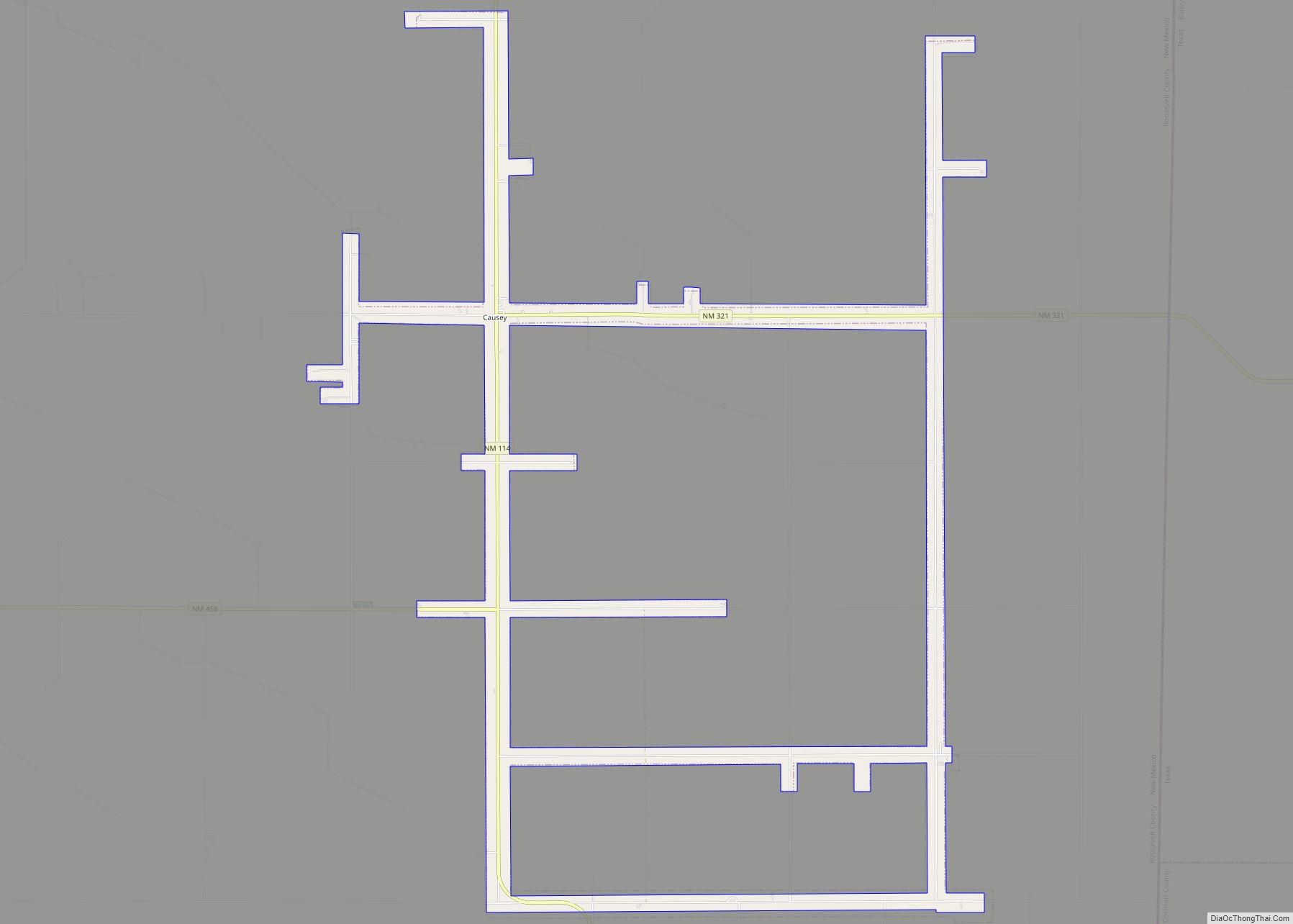
| County: | Roosevelt County |
| Elevation: | 4,013 ft (1,223 m) |
| Total Area: | 8.01 sq mi (20.74 km²) |
| Land Area: | 8.01 sq mi (20.74 km²) |
| Water Area: | 0.00 sq mi (0.00 km²) |
| Total Population: | 12,137 |
| Population Density: | 1,515.61/sq mi (585.20/km²) |
| Area code: | 575 |
| FIPS code: | 3559260 |
| GNISfeature ID: | 2411469 |
| Website: | portalesnm.org |
Online Interactive Map
Click on ![]() to view map in "full screen" mode.
to view map in "full screen" mode.
Portales location map. Where is Portales city?

History
Clovis Man inhabited the Blackwater Draw area north of Portales until 11,000 years ago.
Seminomadic non-Pueblo Southern Athabaskan groups (Apache, Navajo) occupied much of the area as early as the 13th century. In the early 18th century, the Comanche displaced the Apache, who had previously lived in this region. The Comanche commanded the area until late in the 19th century.
The surrounding area of eastern New Mexico is part of what came to be known in the colonial period during Spanish rule as the “Llano Estacado”, an arid and treeless plateau bounded on the north and west by the Caprock Escarpment stretching south from the Canadian River and east along the Pecos River. Spanish soldier and explorer Francisco Vázquez de Coronado, the first European to traverse the area in 1541, named the region after seeing these cliffs. From the north, they resemble a stockade (estacada) surrounding the high tableland, thus the name, meaning “stockaded plain” or “palisaded plain.”
The US territorial settlement of Portales occurred in the late 19th century as cattle herders discovered a water source emanating from a rocky ledge resembling a Spanish porch. The local watering hole took on the name “Portales”, and a few settlers began ranching nearby. The Pecos Valley and Northeastern Railroad arrived in 1899. The City of Portales was formally established in 1909. The first mayor of Portales was Washington Ellsworth Lindsey, who later became a governor of New Mexico.
The town developed in an orderly fashion through the early 20th century. In particular, given its access to the Ogallala Aquifer, improved surface irrigation techniques supported steady growth in agriculture.
Eastern New Mexico University was established in 1934 as a teacher’s college. Originally a junior college, it became a four-year institution in the mid-20th century. The Great Depression brought several important Works Progress Administration construction projects, including the ENMU Administration Building, the downtown Portales Post Office, and the Roosevelt County Courthouse. All three buildings are listed on the National Register of Historic Places.
Portales Road Map
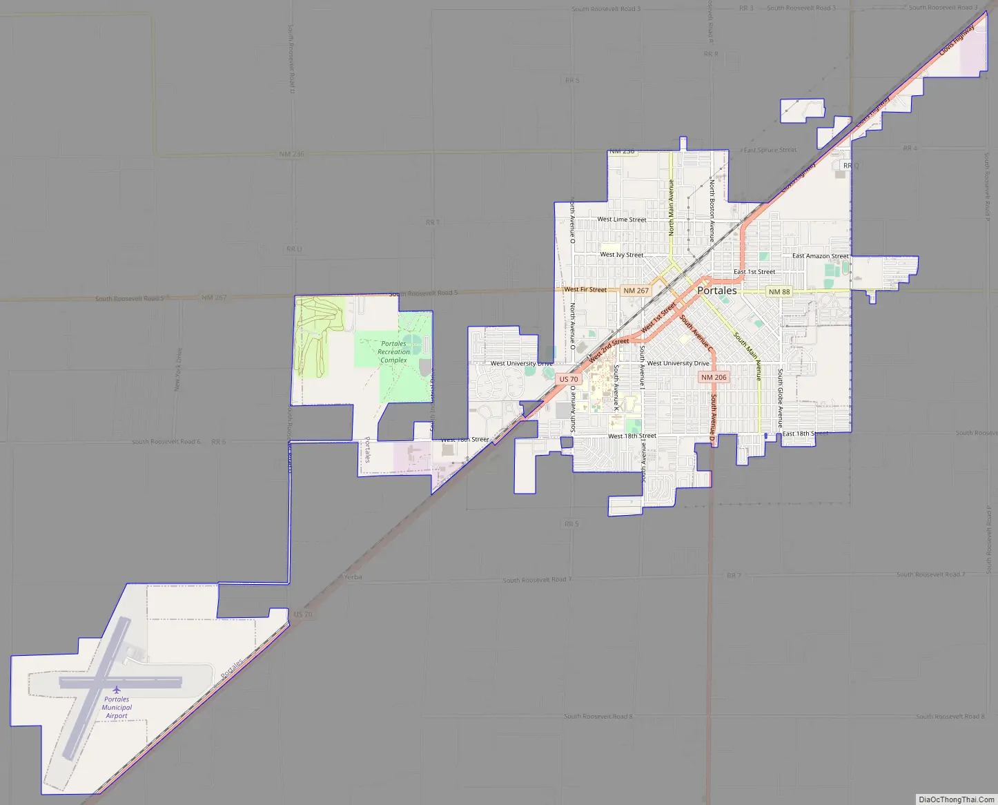
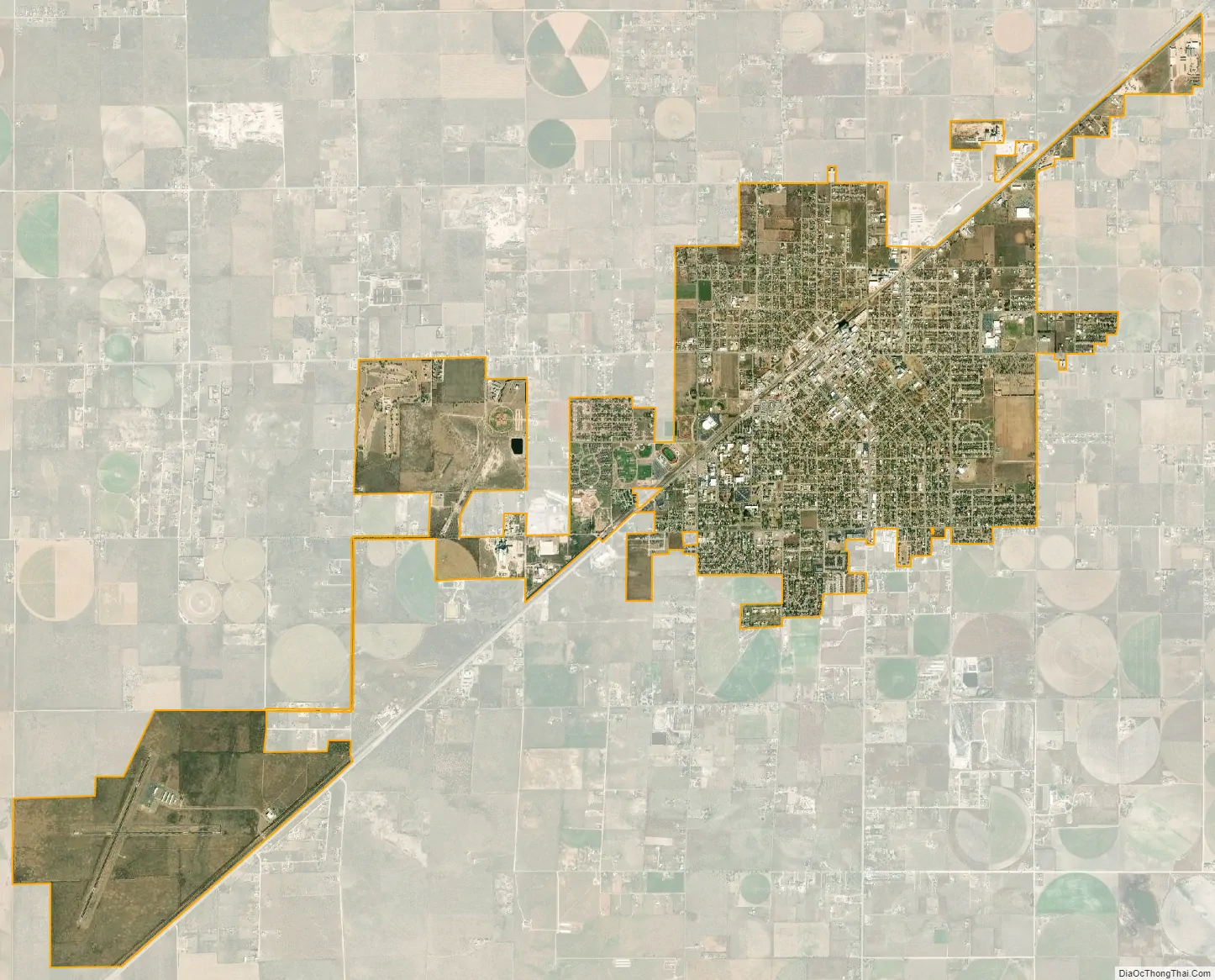
Portales city Satellite Map
Geography
Portales is located in Eastern New Mexico. According to the United States Census Bureau, the city has a total area of 6.8 square miles (18 km), all land. The greater Portales area (Zip Code 88130) is about 20 square miles (52 km), completely surrounded by range and farmland.
Climate
Portales has a semiarid climate (Köppen climate classification BSk) with hot summers featuring most of the year’s rainfall from thunderstorms during the latter half of the season, plus dry winters with typically freezing mornings and mild, sunny afternoons.
See also
Map of New Mexico State and its subdivision: Map of other states:- Alabama
- Alaska
- Arizona
- Arkansas
- California
- Colorado
- Connecticut
- Delaware
- District of Columbia
- Florida
- Georgia
- Hawaii
- Idaho
- Illinois
- Indiana
- Iowa
- Kansas
- Kentucky
- Louisiana
- Maine
- Maryland
- Massachusetts
- Michigan
- Minnesota
- Mississippi
- Missouri
- Montana
- Nebraska
- Nevada
- New Hampshire
- New Jersey
- New Mexico
- New York
- North Carolina
- North Dakota
- Ohio
- Oklahoma
- Oregon
- Pennsylvania
- Rhode Island
- South Carolina
- South Dakota
- Tennessee
- Texas
- Utah
- Vermont
- Virginia
- Washington
- West Virginia
- Wisconsin
- Wyoming