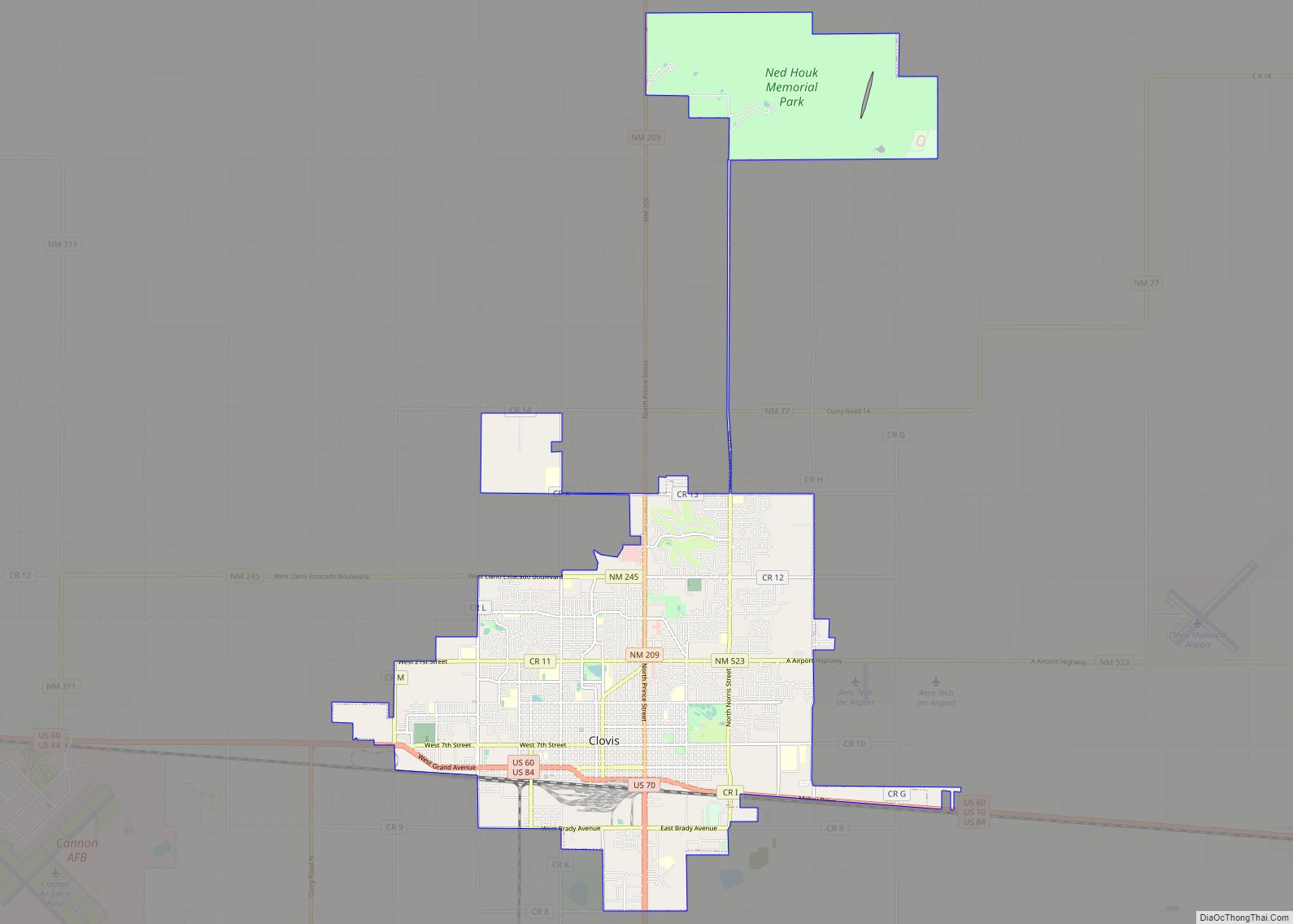
Clovis is a city in and the county seat of Curry County, New Mexico. The city had a population of 37,775 as of the 2010 census, and a 2019 estimated population of 38,319. Clovis is located in the New Mexico portion of the Llano Estacado, in the eastern part of the state.
A largely agricultural community, closely bordering Texas, it is noted for its role in early rock music history and for nearby Cannon Air Force Base. After the discovery of several “Clovis culture” sites in eastern North America in the 1930s, the Clovis people came to be regarded as the first human inhabitants who created a widespread culture in the New World. Clovis people are considered to be the ancestors of most of the indigenous cultures of the Americas. The Atchison, Topeka and Santa Fe Railway system helped establish Clovis over one hundred years ago, which continues to be a major hub of operations for that railroad and its successor, BNSF Railway. Also notable is the Southwest Cheese Company, the largest cheddar cheese producer in North America.
It is the principal city of the Clovis Micropolitan statistical area, which is part of the larger Clovis-Portales CSA.
| Name: | Clovis city |
|---|---|
| LSAD Code: | 25 |
| LSAD Description: | city (suffix) |
| State: | New Mexico |
| County: | Curry County |
| Incorporated: | 1909 |
| Elevation: | 4,268 ft (1,301 m) |
| Total Area: | 23.79 sq mi (61.62 km²) |
| Land Area: | 23.63 sq mi (61.19 km²) |
| Water Area: | 0.17 sq mi (0.43 km²) |
| Total Population: | 38,567 |
| Population Density: | 1,632.47/sq mi (630.31/km²) |
| ZIP code: | 88101, 88102 |
| Area code: | 505, 575 |
| FIPS code: | 3516420 |
| GNISfeature ID: | 0915815 |
| Website: | www.cityofclovis.org |
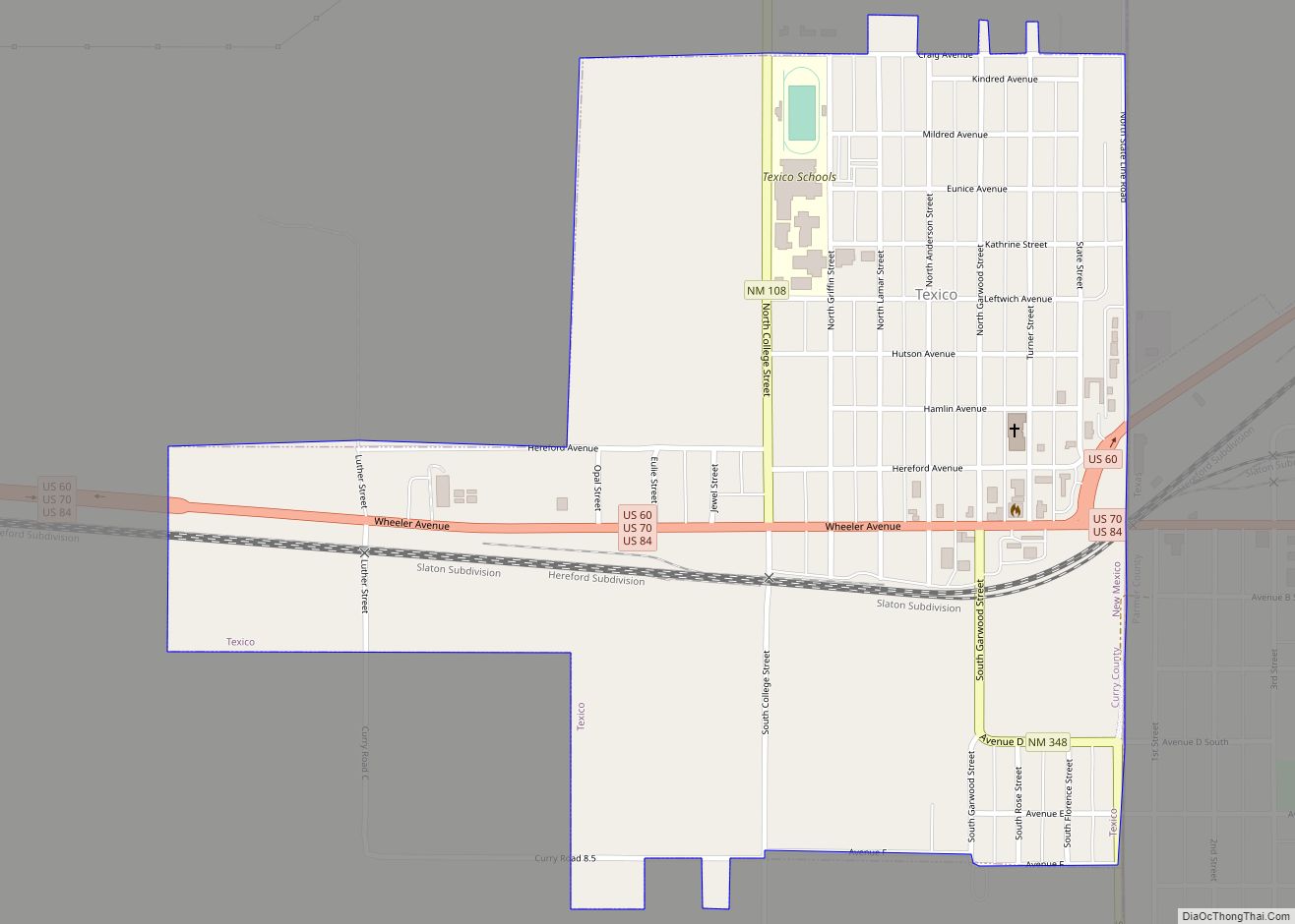
Online Interactive Map
Click on ![]() to view map in "full screen" mode.
to view map in "full screen" mode.
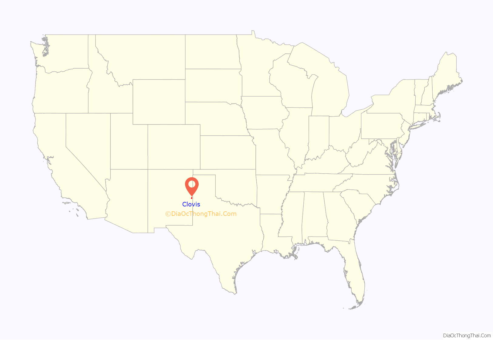
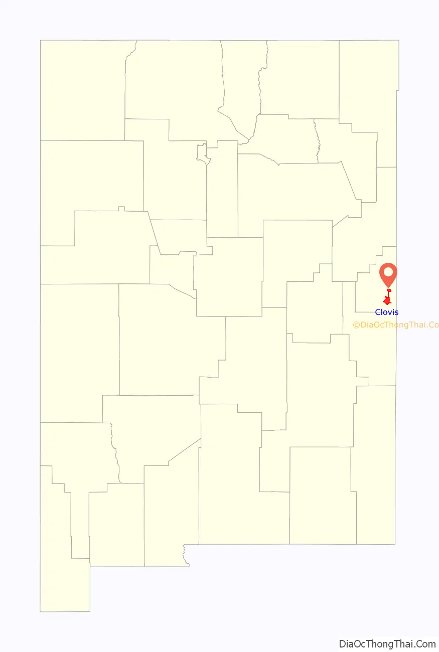
Clovis location map. Where is Clovis city?
History
The Eastern New Mexico region was home to the prehistoric Clovis culture, an anthropologically significant group of early Native Americans. Several remains have been found at the Blackwater Draw site (south of Clovis, near Portales), which remains a historical and tourist site.
Clovis began in 1906, when the Atchison, Topeka and Santa Fe Railway was being constructed through the area and railway engineers were instructed to “locate and buy the first level section of land west of Texico” on which to build a town site and railroad facilities. The land was bought on October 2, 1906, and the railroad began offering town lots for sale on May 1, 1907. At first known as “Riley’s Switch”, the town was reportedly renamed Clovis by the station master’s daughter, who was studying about Clovis, the first Catholic king of the Franks, at the time. The settlement built up quickly and in 1909 was incorporated.
On August 24, 2008, eight prisoners escaped from the Clovis Jail by shimmying up plumbing pipes. The escape was highlighted on the television show America’s Most Wanted.
Clovis celebrated its centennial in 2009.
The Clovis library was the site of a mass shooting in August 2017 in which two people were killed and four wounded.
Clovis Road Map
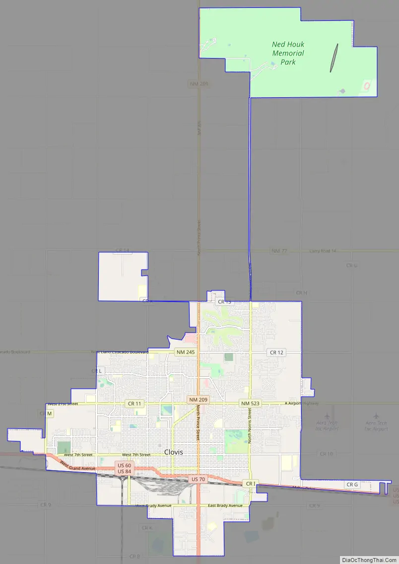
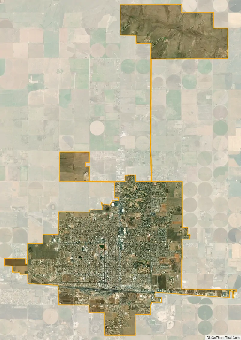
Clovis city Satellite Map
Geography
Clovis is located in southeastern Curry County at 34°24′45″N 103°12′17″W / 34.41250°N 103.20472°W / 34.41250; -103.20472 (34.412509, −103.204611), 9 miles (14 km) west of the Texas border. The city’s geographic center is at an elevation of 4,281 feet (1,305 m) above sea level.
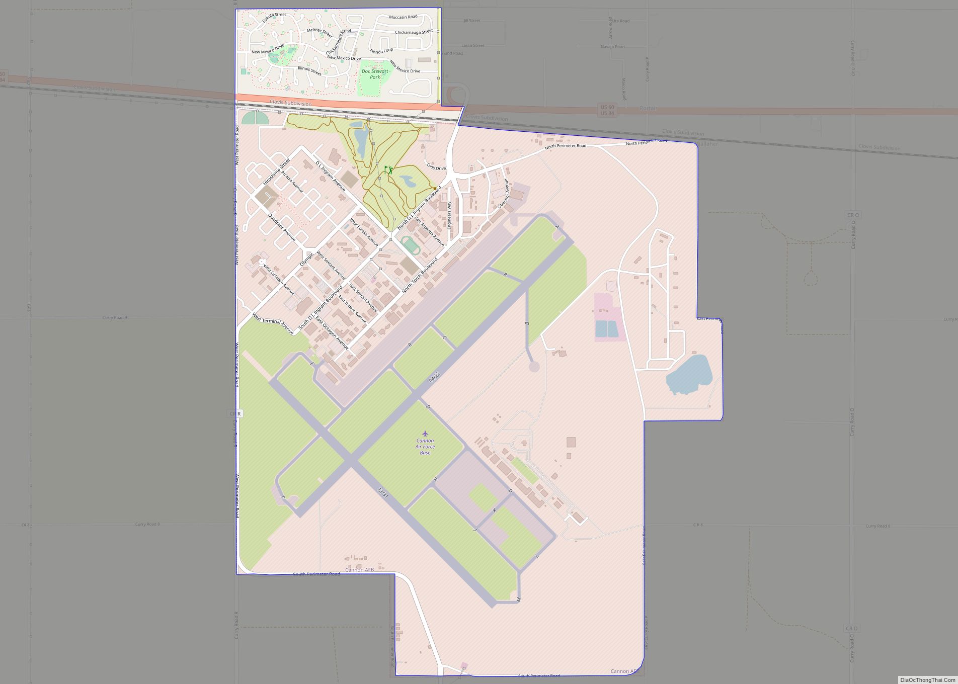
U.S. Routes 60, 70, and 84 pass through the city. US 60 and 84 lead west 60 miles (97 km) to Fort Sumner, while US 70 leads southwest 19 miles (31 km) to Portales and 110 miles (180 km) to Roswell. The three highways lead east together to the state line at Texico, New Mexico, and Farwell, Texas. Cannon Air Force Base is 7 miles (11 km) west of the center of Clovis.
According to the United States Census Bureau, the city has a total area of 22.9 square miles (59.3 km), of which 22.7 square miles (58.8 km) is land and 0.2 square miles (0.4 km), or 0.73%, is water from the several artificial ponds in Clovis’ multiple public parks.
See also
Map of New Mexico State and its subdivision: Map of other states:- Alabama
- Alaska
- Arizona
- Arkansas
- California
- Colorado
- Connecticut
- Delaware
- District of Columbia
- Florida
- Georgia
- Hawaii
- Idaho
- Illinois
- Indiana
- Iowa
- Kansas
- Kentucky
- Louisiana
- Maine
- Maryland
- Massachusetts
- Michigan
- Minnesota
- Mississippi
- Missouri
- Montana
- Nebraska
- Nevada
- New Hampshire
- New Jersey
- New Mexico
- New York
- North Carolina
- North Dakota
- Ohio
- Oklahoma
- Oregon
- Pennsylvania
- Rhode Island
- South Carolina
- South Dakota
- Tennessee
- Texas
- Utah
- Vermont
- Virginia
- Washington
- West Virginia
- Wisconsin
- Wyoming