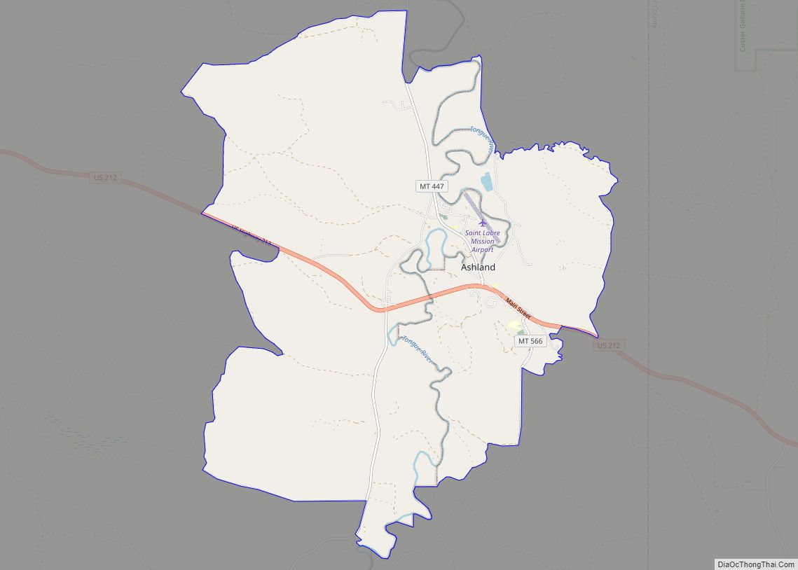
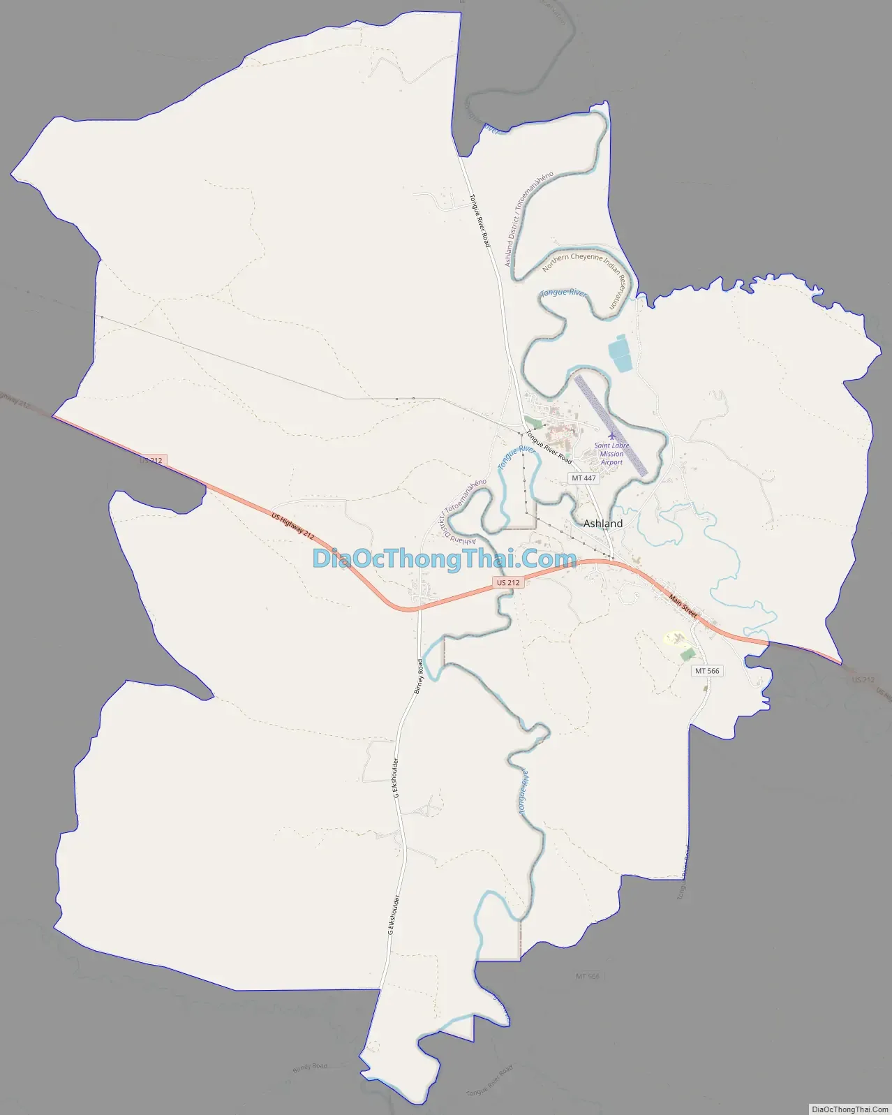
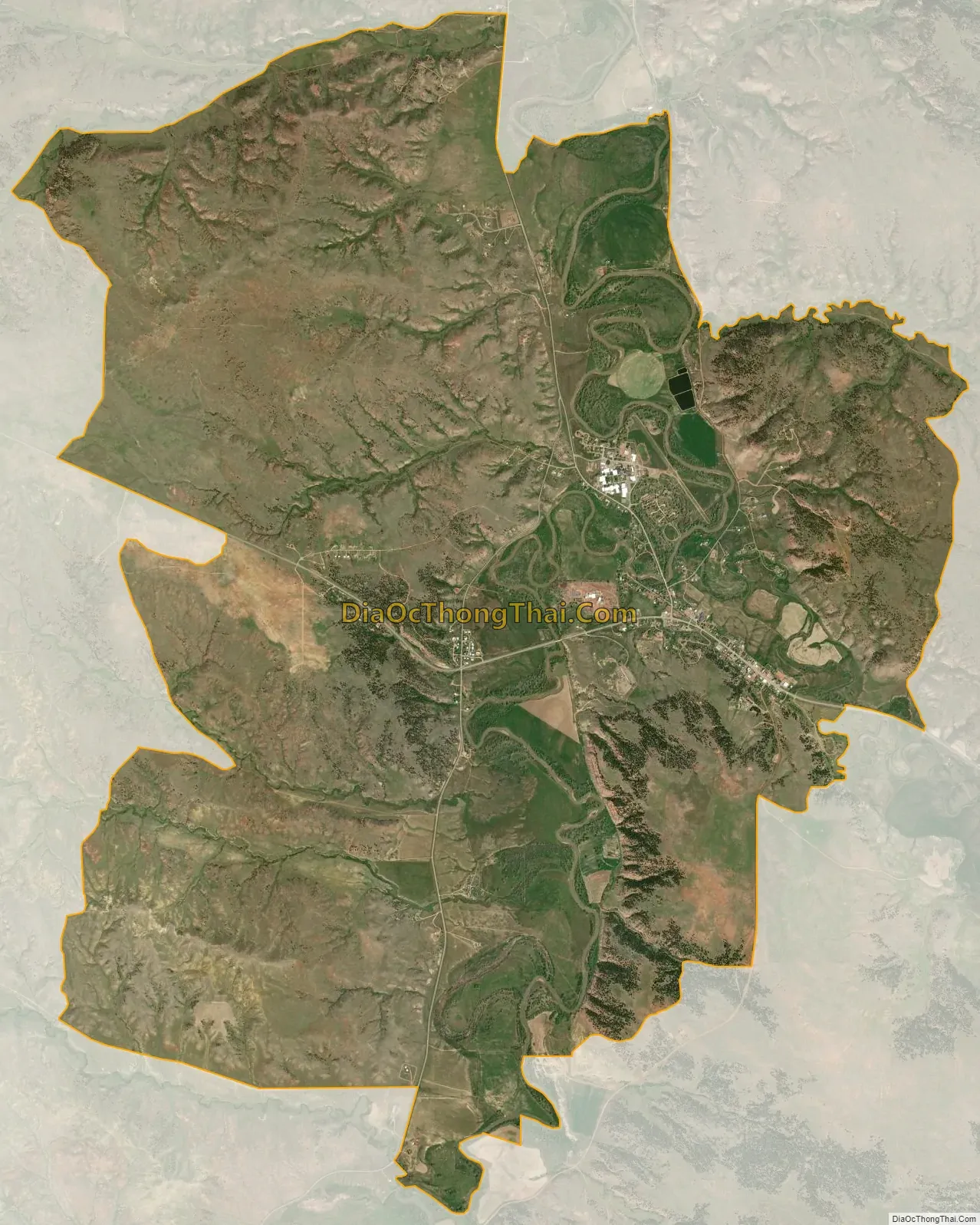
Ashland is a census-designated place (CDP) in Rosebud County, Montana, United States. The population was 464 at the 2000 census. Ashland is immediately east of the boundary of the Northern Cheyenne Indian Reservation and also along the Tongue River. It is the location of the St. Labre Indian Catholic High School, established in 1884 as a boarding school by a Catholic mission to the Cheyenne.
The town was established in 1881 and called Straders after the first postmaster. The name was changed to Ashland in 1886.
| Name: | Ashland CDP |
|---|---|
| LSAD Code: | 57 |
| LSAD Description: | CDP (suffix) |
| State: | Montana |
| County: | Rosebud County |
| Elevation: | 2,920 ft (890 m) |
| Total Area: | 20.67 sq mi (53.54 km²) |
| Land Area: | 20.67 sq mi (53.54 km²) |
| Water Area: | 0.00 sq mi (0.00 km²) |
| Total Population: | 773 |
| Population Density: | 37.40/sq mi (14.44/km²) |
| ZIP code: | 59003-59004 |
| Area code: | 406 |
| FIPS code: | 3002800 |
| GNISfeature ID: | 0802003 |
Online Interactive Map
Click on ![]() to view map in "full screen" mode.
to view map in "full screen" mode.
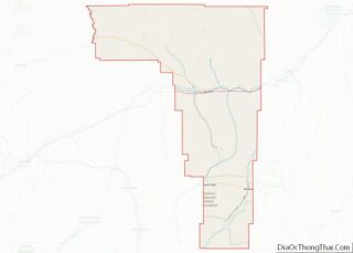
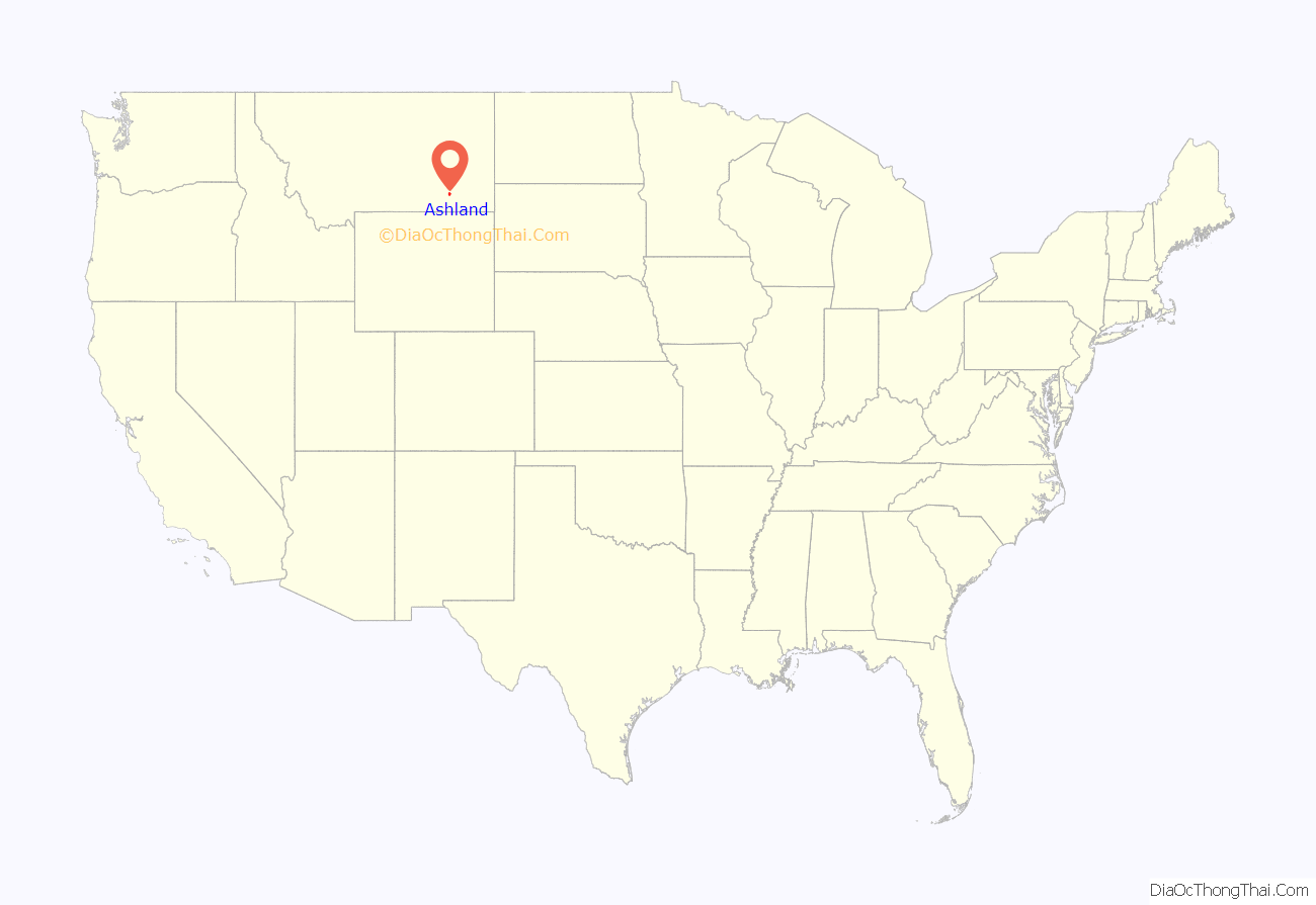
Ashland location map. Where is Ashland CDP?

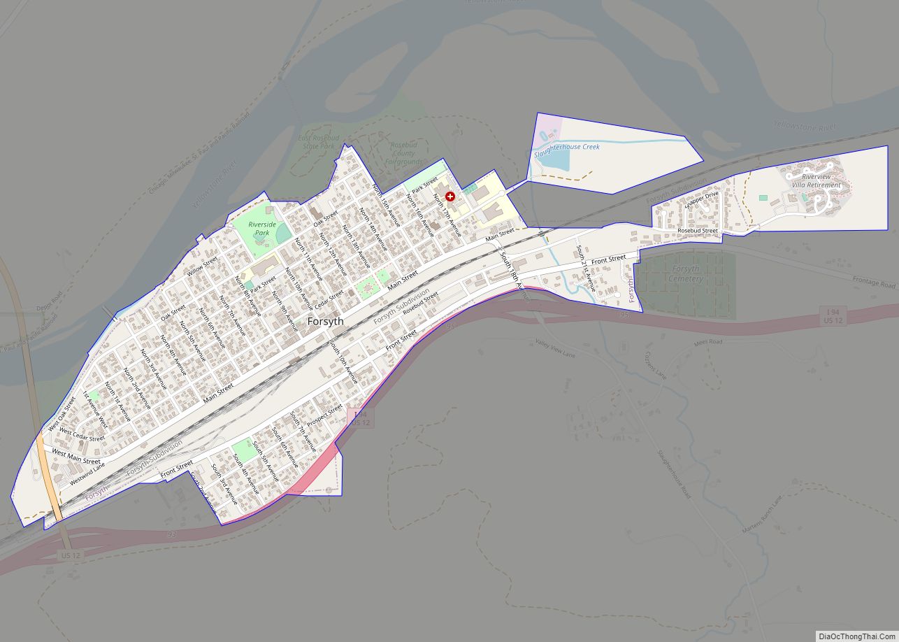
Ashland Road Map
Ashland city Satellite Map
Geography
According to the United States Census Bureau, the CDP has a total area of 7.6 square miles (20 km), all land.
Ashland had the original supervisor office for the Custer National Forest. There remains an Ashland Ranger District. The 436,000 acre Ashland Ranger District contains the largest contiguous block of land in Federal ownership in eastern Montana and has one of the largest grazing programs in the nation.
This area is also rich in coal and wildlife. Some oil and gas activity has taken place, but no producing wells have been found to date.
The area offers a variety of topography, varying from rolling grasslands to steep rock outcrops. Vegetation varies from prairie to dense stands of ponderosa pine.
Climate
According to the Köppen Climate Classification system, Ashland has a semi-arid climate, abbreviated “BSk” on climate maps.
See also
Map of Montana State and its subdivision:- Beaverhead
- Big Horn
- Blaine
- Broadwater
- Carbon
- Carter
- Cascade
- Chouteau
- Custer
- Daniels
- Dawson
- Deer Lodge
- Fallon
- Fergus
- Flathead
- Gallatin
- Garfield
- Glacier
- Golden Valley
- Granite
- Hill
- Jefferson
- Judith Basin
- Lake
- Lewis and Clark
- Liberty
- Lincoln
- Madison
- McCone
- Meagher
- Mineral
- Missoula
- Musselshell
- Park
- Petroleum
- Phillips
- Pondera
- Powder River
- Powell
- Prairie
- Ravalli
- Richland
- Roosevelt
- Rosebud
- Sanders
- Sheridan
- Silver Bow
- Stillwater
- Sweet Grass
- Teton
- Toole
- Treasure
- Valley
- Wheatland
- Wibaux
- Yellowstone
- Alabama
- Alaska
- Arizona
- Arkansas
- California
- Colorado
- Connecticut
- Delaware
- District of Columbia
- Florida
- Georgia
- Hawaii
- Idaho
- Illinois
- Indiana
- Iowa
- Kansas
- Kentucky
- Louisiana
- Maine
- Maryland
- Massachusetts
- Michigan
- Minnesota
- Mississippi
- Missouri
- Montana
- Nebraska
- Nevada
- New Hampshire
- New Jersey
- New Mexico
- New York
- North Carolina
- North Dakota
- Ohio
- Oklahoma
- Oregon
- Pennsylvania
- Rhode Island
- South Carolina
- South Dakota
- Tennessee
- Texas
- Utah
- Vermont
- Virginia
- Washington
- West Virginia
- Wisconsin
- Wyoming