Colstrip is a city in Rosebud County, Montana, United States. The population was 2,096 at the 2020 census. Established in 1924 and incorporated as a city in 1998, Colstrip is the largest city in Rosebud County with 25.2% of the total population. Colstrip’s primary industries are coal mining and electricity production. In 2005, Sports Illustrated’s 50th anniversary issue named Colstrip the top sports town in Montana. The entire community celebrates Colstrip Days annually on the weekend prior to the 4th of July.
| Name: | Colstrip city |
|---|---|
| LSAD Code: | 25 |
| LSAD Description: | city (suffix) |
| State: | Montana |
| County: | Rosebud County |
| Elevation: | 3,232 ft (985 m) |
| Total Area: | 4.05 sq mi (10.49 km²) |
| Land Area: | 4.05 sq mi (10.48 km²) |
| Water Area: | 0.01 sq mi (0.02 km²) |
| Total Population: | 2,096 |
| Population Density: | 518.04/sq mi (200.04/km²) |
| ZIP code: | 59323 |
| Area code: | 406 |
| FIPS code: | 3016525 |
| GNISfeature ID: | 0770042 |
| Website: | http://www.cityofcolstrip.com/ |
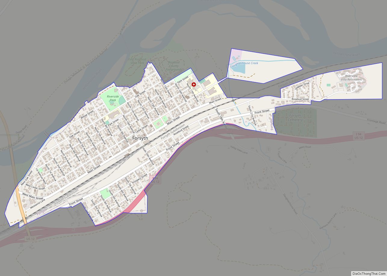
Online Interactive Map
Click on ![]() to view map in "full screen" mode.
to view map in "full screen" mode.
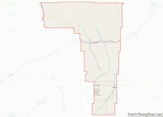
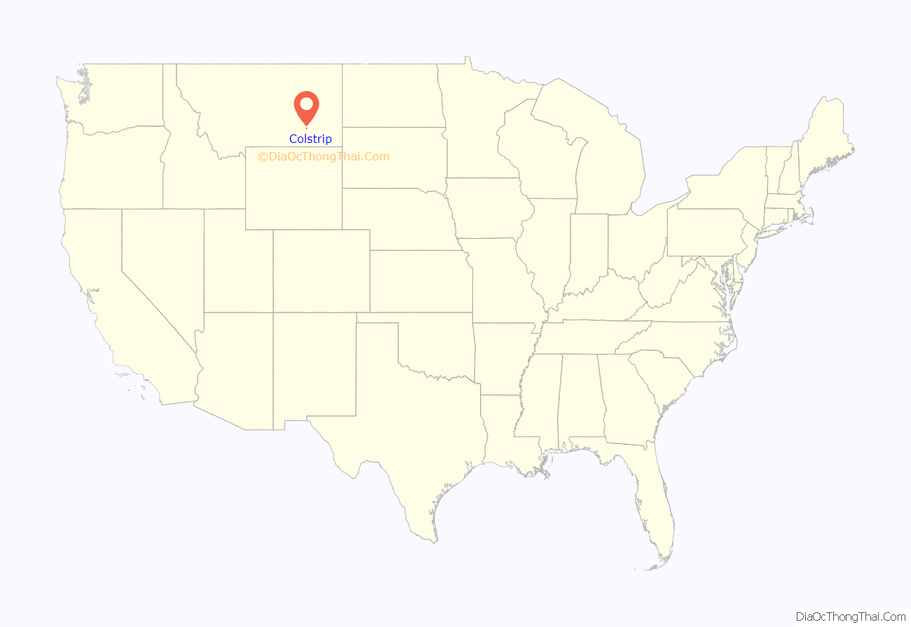
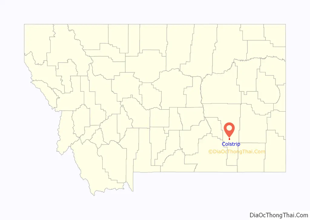
Colstrip location map. Where is Colstrip city?
History
Colstrip was established by the Northern Pacific Railway in 1924 as a company town to provide coal for their steam locomotives. The mining at Rosebud Mine two miles south of the town is open pit strip mining, where draglines remove soil above the layer of bituminous coal from the Fort Union Formation.
During The Second World War, the Colstrip mine was identified as strategically important because it supplied coal for the Northern Pacific Railway steam locomotives hauling military equipment for the war effort. The mine was guarded from sabotage, and the employees were not allowed to quit their jobs.
In 1958, the railroad switched to using diesel locomotives and the Colstrip mine was shut down. In 1959, Montana Power Company purchased the rights to the mine and the town, and resumed mining operations in the 1970s with plans to build coal-fired electrical plants.
The power plants were built in the 1970s and 1980s by a collection of contractors including Bechtel. During this construction period, Colstrip was a boomtown, with a large increase in population. Plants 1 and 2 became operational in 1975 and 1976, and plants 3 and 4 became operational in 1984 and 1986.
In 1974, construction of Colstrip’s 150-acre (0.61 km) Castle Rock Lake (formerly named surge pond) was completed. The Colstrip plants produce electricity from coal using steam. The water for the steam is pumped in an underground pipe 30 miles (48 km) from the Yellowstone River and stored in the lake. The lake is stocked with fish and the home for a wide variety of wildlife.
In 1990, the Colstrip Energy Limited Project started commercial operations. Located six miles (10 km) north of Colstrip, this experimental electricity production facility is owned by Rosebud Energy Corp., a partnership that at one point included Enron. The plant uses high sulfur waste coal from the Rosebud Coal Mine’s topmost one foot layer of coal.
In 1998, plants 1-4 were sold to a group led by PPL Corporation (PPL) and Puget Sound Energy (PSE). The Rosebud Coal Mine was sold to Westmoreland Mining LLC. In this same year, the City of Colstrip was incorporated.
In June 2015, PPL spun off its power generation assets including the Colstrip plants to become Talen Energy.
In 2016, Puget Sound Energy reached an agreement with the Sierra Club and the Montana Environmental Information Center to shut down units 1 and 2 of the coal-fired generating plant by the year 2022. The agreement said nothing about the status of Units 3 and 4 at the generating station. However, the existing electrical transmission capacity that transmits power from Colstrip to the Pacific Northwest may be used to transmit wind energy.
In June 2019, Talen Energy announced the closure of two of the four coal burning units by the end of the year. The power plant is “the sixth-largest source of greenhouse emissions in the U.S.” Units 3 and 4 will remain in operation.
In January 2020, Puget Sound Energy announced that Unit 1 ceased operating in the “first days of January”, and Unit 2 ceased operating on January 4. Units 3 and 4 will remain operational as planned, but will be closed within the next five years.
Colstrip is the proposed junction point of the BNSF Railway’s trackage through the city with the proposed Tongue River Railroad south to new coal mines near the Wyoming border.
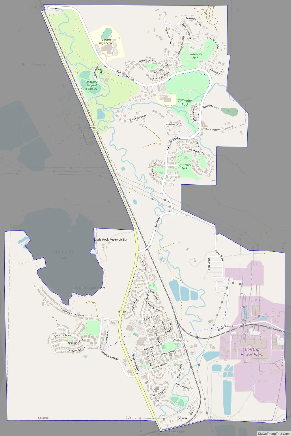
Colstrip Road Map
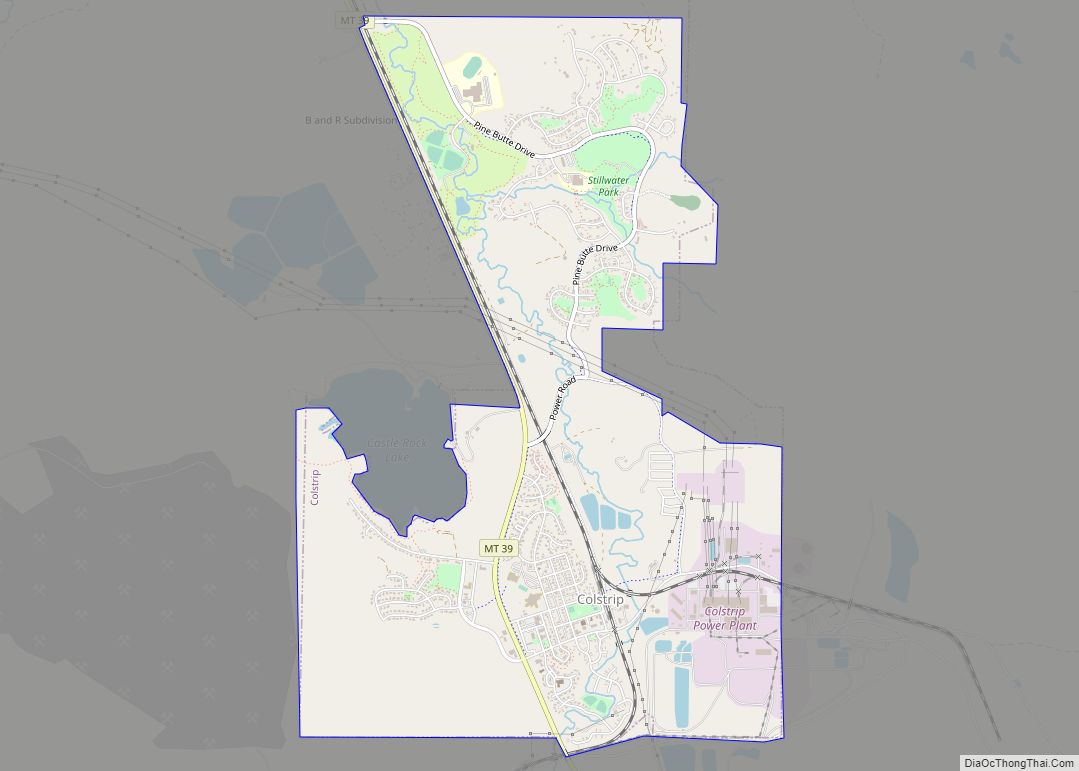
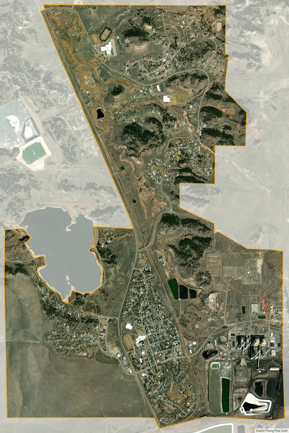
Colstrip city Satellite Map
Geography
According to the United States Census Bureau, the city has a total area of 4.47 square miles (11.58 km), all land.
Climate
According to the Köppen Climate Classification system, Colstrip has a semi-arid climate, abbreviated “BSk” on climate maps.
See also
Map of Montana State and its subdivision:- Beaverhead
- Big Horn
- Blaine
- Broadwater
- Carbon
- Carter
- Cascade
- Chouteau
- Custer
- Daniels
- Dawson
- Deer Lodge
- Fallon
- Fergus
- Flathead
- Gallatin
- Garfield
- Glacier
- Golden Valley
- Granite
- Hill
- Jefferson
- Judith Basin
- Lake
- Lewis and Clark
- Liberty
- Lincoln
- Madison
- McCone
- Meagher
- Mineral
- Missoula
- Musselshell
- Park
- Petroleum
- Phillips
- Pondera
- Powder River
- Powell
- Prairie
- Ravalli
- Richland
- Roosevelt
- Rosebud
- Sanders
- Sheridan
- Silver Bow
- Stillwater
- Sweet Grass
- Teton
- Toole
- Treasure
- Valley
- Wheatland
- Wibaux
- Yellowstone
- Alabama
- Alaska
- Arizona
- Arkansas
- California
- Colorado
- Connecticut
- Delaware
- District of Columbia
- Florida
- Georgia
- Hawaii
- Idaho
- Illinois
- Indiana
- Iowa
- Kansas
- Kentucky
- Louisiana
- Maine
- Maryland
- Massachusetts
- Michigan
- Minnesota
- Mississippi
- Missouri
- Montana
- Nebraska
- Nevada
- New Hampshire
- New Jersey
- New Mexico
- New York
- North Carolina
- North Dakota
- Ohio
- Oklahoma
- Oregon
- Pennsylvania
- Rhode Island
- South Carolina
- South Dakota
- Tennessee
- Texas
- Utah
- Vermont
- Virginia
- Washington
- West Virginia
- Wisconsin
- Wyoming