Morehead is a home rule-class city located along US 60 (the historic Midland Trail) and Interstate 64 in Rowan County, Kentucky, in the United States. It is the seat of its county. The population was 7,151 at the time of the 2020 U.S. census.
It was the focal point of the Rowan County War and is the home of Morehead State University.
| Name: | Morehead city |
|---|---|
| LSAD Code: | 25 |
| LSAD Description: | city (suffix) |
| State: | Kentucky |
| County: | Rowan County |
| Incorporated: | 1869 |
| Elevation: | 738 ft (225 m) |
| Total Area: | 9.72 sq mi (25.17 km²) |
| Land Area: | 9.60 sq mi (24.88 km²) |
| Water Area: | 0.11 sq mi (0.30 km²) |
| Total Population: | 7,151 |
| Population Density: | 744.59/sq mi (287.47/km²) |
| ZIP code: | 40351 |
| Area code: | 606 |
| FIPS code: | 2153418 |
| GNISfeature ID: | 0514051 |
| Website: | morehead-ky.gov |
Online Interactive Map
Click on ![]() to view map in "full screen" mode.
to view map in "full screen" mode.
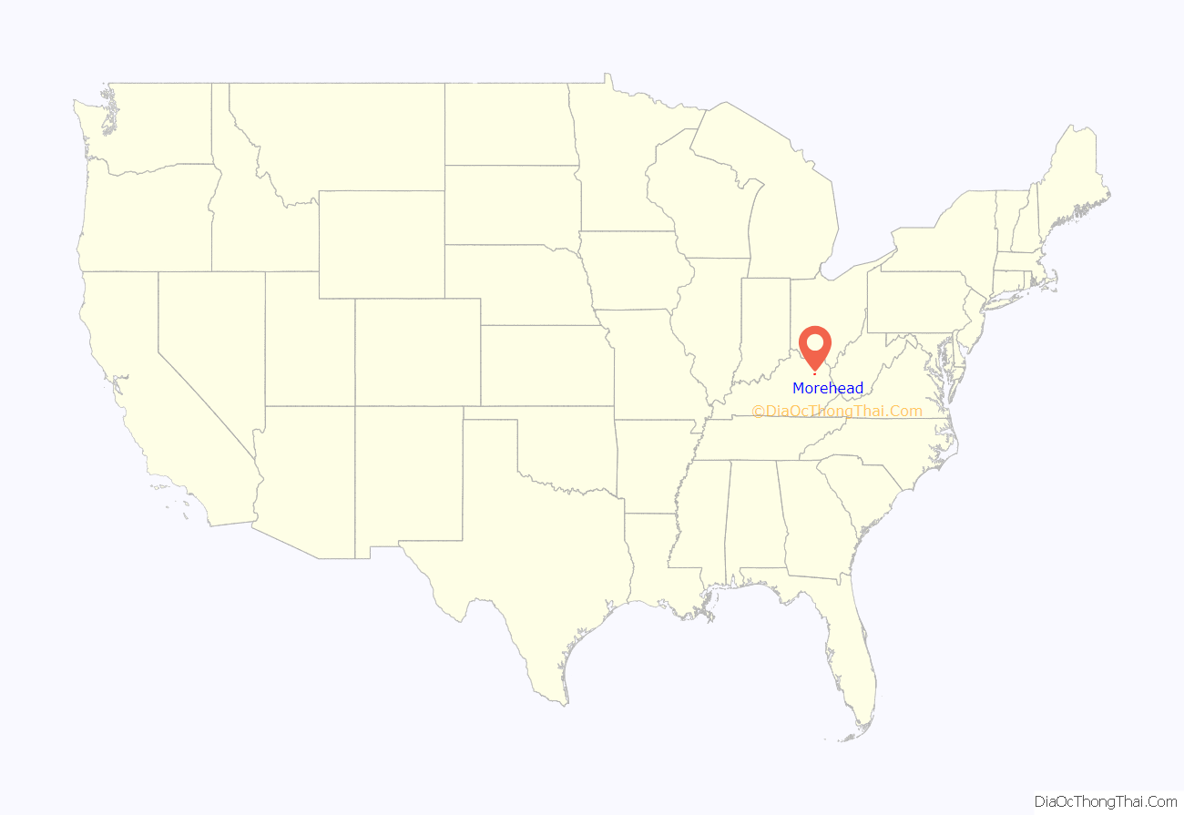
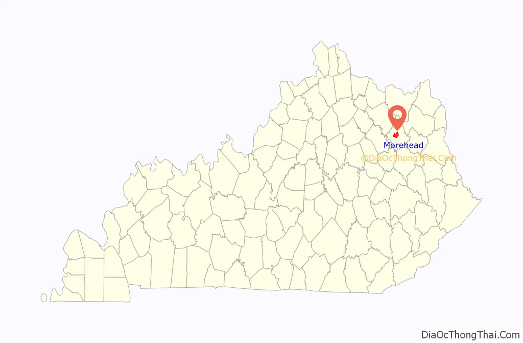
Morehead location map. Where is Morehead city?
History
Initial settlement
The first European settlers came to Rowan County from Virginia following the end of the American Revolutionary War in 1783. In 1854, Morehead became the third community to be settled in the county. Colonel John Hargis founded the city after purchasing land in the area. The city was named after James T Morehead, a politician who served as governor of Kentucky from 1834 to 1836. Rowan County came into existence in May 1856, seceding from parts of Morgan County and Fleming County. It was divided into four districts with Morehead being declared the county seat. The formation of Rowan County was a political ploy to prevent Flemingsburg from moving its seat to Poplar Plains, and Morehead was selected as Rowan’s seat because of its centrality. Although it was smaller and less developed than the neighboring town of Farmers, it remained a significant city in the county due its status as county seat. It was officially incorporated in 1869.
Rowan County War
In the 1880s, Morehead became the central stage for a notorious conflict known as the Rowan County War or the Martin–Tolliver–Logan Feud. During a number of skirmishes for the next few years, at least 20 people were killed and possibly 100 were wounded. Beginning with an election-day barroom brawl, several gunfights took place in Morehead and the surrounding countryside. Eventually, a group led by Craig Tolliver seized political control of the town and installed allies in the county sheriff’s and county attorney’s offices as well as at the office of the town marshal. Several members of the opposing faction were arrested on trumped-up charges, and some were killed when the faction in power falsely claimed they had resisted arrest. The conflict gained national attention and on two occasions the governor sent troops to maintain order with little effect. Eventually a posse of as many as 100 individuals were organized and armed by Daniel Boone Logan with the tacit consent of Gov. J. Proctor Knott and Governor-elect Simon Buckner. In a dramatic two-hour gun battle through the center of Morehead, several Tollivers (including Craig) were killed and the Tollivers’ control of the county was broken. Two men were later acquitted for the murder of Craig Tolliver. Morehead State University was established as an indirect result of the feud. After the state militia came to settle the feud, the Disciples of Christ established a church and school which served as the forerunner to the university.
20th century
The industry improved in the early 20th century. It was considered an important shipping center in the region, and the city of Chesapeake, Ohio even carried out developments on the road system of Morehead. Its abundance of lumber, fire clay, farm products and gas made it an active center of industry, of which was mainly oriented towards agriculture. The close proximity of the Licking River helped ensure the population would flourish. In the 1920s, the city refocused its efforts towards fire clay extraction amidst the dwindling prices of timber. One of the first transcontinental auto trails in the US, the Midland Trail, was connected to Morehead in 1929.
In July 1939, a number of business and hotels located on Mainstreet were caught in a raging fire following Independence Day celebrations which went awry. The town’s pack horse library center was burned down as well. Only 24 hours afterwards, the town was badly affected by flash flooding. At least 25 people died, and thousands had to receive vaccinations for Typhoid fever. The property costs incurred by the flooding were estimated at $1,000,000, while the damage inflicted on crops and farms caused an economic loss of about $500,000.
In the early 1960s, efforts were underway to establish a local hospital. An agreement was eventually reached with the Sisters of Notre Dame in Covington, Kentucky in which the sisters would assume responsibility for operating the proposed hospital. In July 1963, St Claire’s Medical Center was opened with a 41-bed capacity. Transport in and out of the city was greatly improved in 1969 after the completion of Interstate 64 to the north.
After the logging and extraction industries lost momentum in eastern Kentucky during the mid-1900s, the city invested heavily in developing Morehead State University as a means to secure economic growth. Morehead also sought to capitalize on tourism by ameliorating its natural attractions. Hiking trails were created through Cave Run Lake in the 1960s and 1970s, and in 1974, tourism was further boosted when Cave Run Lake was impounded by the city. By 1990, Morehead State University had become the largest employer in the city.
21st century
In 2015, Kim Davis of Morehead gained international attention after she defied a federal court order requiring that as Clerk of Rowan County she issue a marriage license to a same-sex couple.
The Downtown Morehead Historic District was listed on the National Register of Historic Places in 2022.
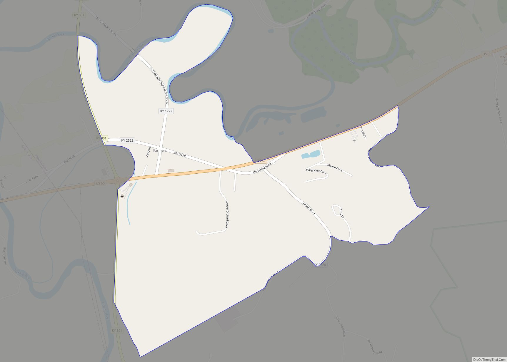
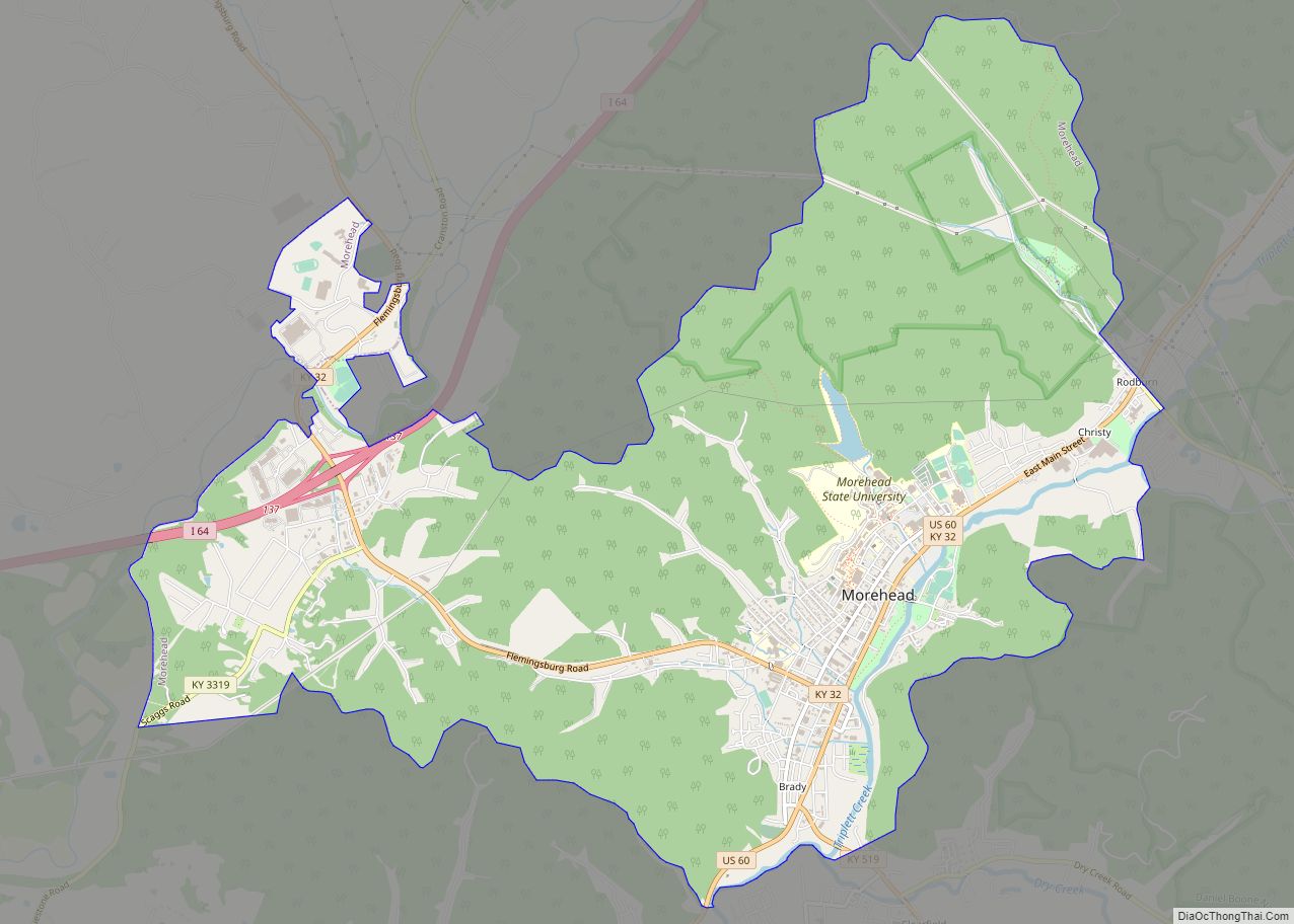
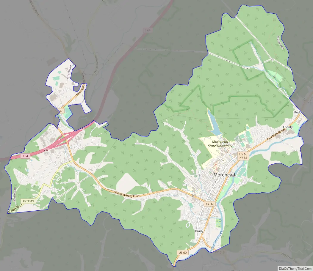
Morehead Road Map
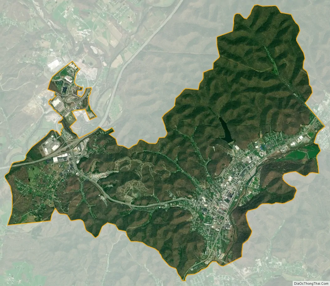
Morehead city Satellite Map
Geography
Topography
According to the United States Census Bureau, Morehead has a total area of 9.3 square miles (24 km), of which 9.2 square miles (24 km) is land.
Morehead is in the foothills of the Appalachian Mountains. The topography of the area represents a mixture of the Highland Rim and the western border of the Eastern Kentucky Coalfield. The highest elevation in the county is Limestone Knob (1435 ft), situated approximately 3 miles southwest of Morehead. The elevation of the city is 748 ft.
Climate
See also
Map of Kentucky State and its subdivision:- Adair
- Allen
- Anderson
- Ballard
- Barren
- Bath
- Bell
- Boone
- Bourbon
- Boyd
- Boyle
- Bracken
- Breathitt
- Breckinridge
- Bullitt
- Butler
- Caldwell
- Calloway
- Campbell
- Carlisle
- Carroll
- Carter
- Casey
- Christian
- Clark
- Clay
- Clinton
- Crittenden
- Cumberland
- Daviess
- Edmonson
- Elliott
- Estill
- Fayette
- Fleming
- Floyd
- Franklin
- Fulton
- Gallatin
- Garrard
- Grant
- Graves
- Grayson
- Green
- Greenup
- Hancock
- Hardin
- Harlan
- Harrison
- Hart
- Henderson
- Henry
- Hickman
- Hopkins
- Jackson
- Jefferson
- Jessamine
- Johnson
- Kenton
- Knott
- Knox
- Larue
- Laurel
- Lawrence
- Lee
- Leslie
- Letcher
- Lewis
- Lincoln
- Livingston
- Logan
- Lyon
- Madison
- Magoffin
- Marion
- Marshall
- Martin
- Mason
- McCracken
- McCreary
- McLean
- Meade
- Menifee
- Mercer
- Metcalfe
- Monroe
- Montgomery
- Morgan
- Muhlenberg
- Nelson
- Nicholas
- Ohio
- Oldham
- Owen
- Owsley
- Pendleton
- Perry
- Pike
- Powell
- Pulaski
- Robertson
- Rockcastle
- Rowan
- Russell
- Scott
- Shelby
- Simpson
- Spencer
- Taylor
- Todd
- Trigg
- Trimble
- Union
- Warren
- Washington
- Wayne
- Webster
- Whitley
- Wolfe
- Woodford
- Alabama
- Alaska
- Arizona
- Arkansas
- California
- Colorado
- Connecticut
- Delaware
- District of Columbia
- Florida
- Georgia
- Hawaii
- Idaho
- Illinois
- Indiana
- Iowa
- Kansas
- Kentucky
- Louisiana
- Maine
- Maryland
- Massachusetts
- Michigan
- Minnesota
- Mississippi
- Missouri
- Montana
- Nebraska
- Nevada
- New Hampshire
- New Jersey
- New Mexico
- New York
- North Carolina
- North Dakota
- Ohio
- Oklahoma
- Oregon
- Pennsylvania
- Rhode Island
- South Carolina
- South Dakota
- Tennessee
- Texas
- Utah
- Vermont
- Virginia
- Washington
- West Virginia
- Wisconsin
- Wyoming