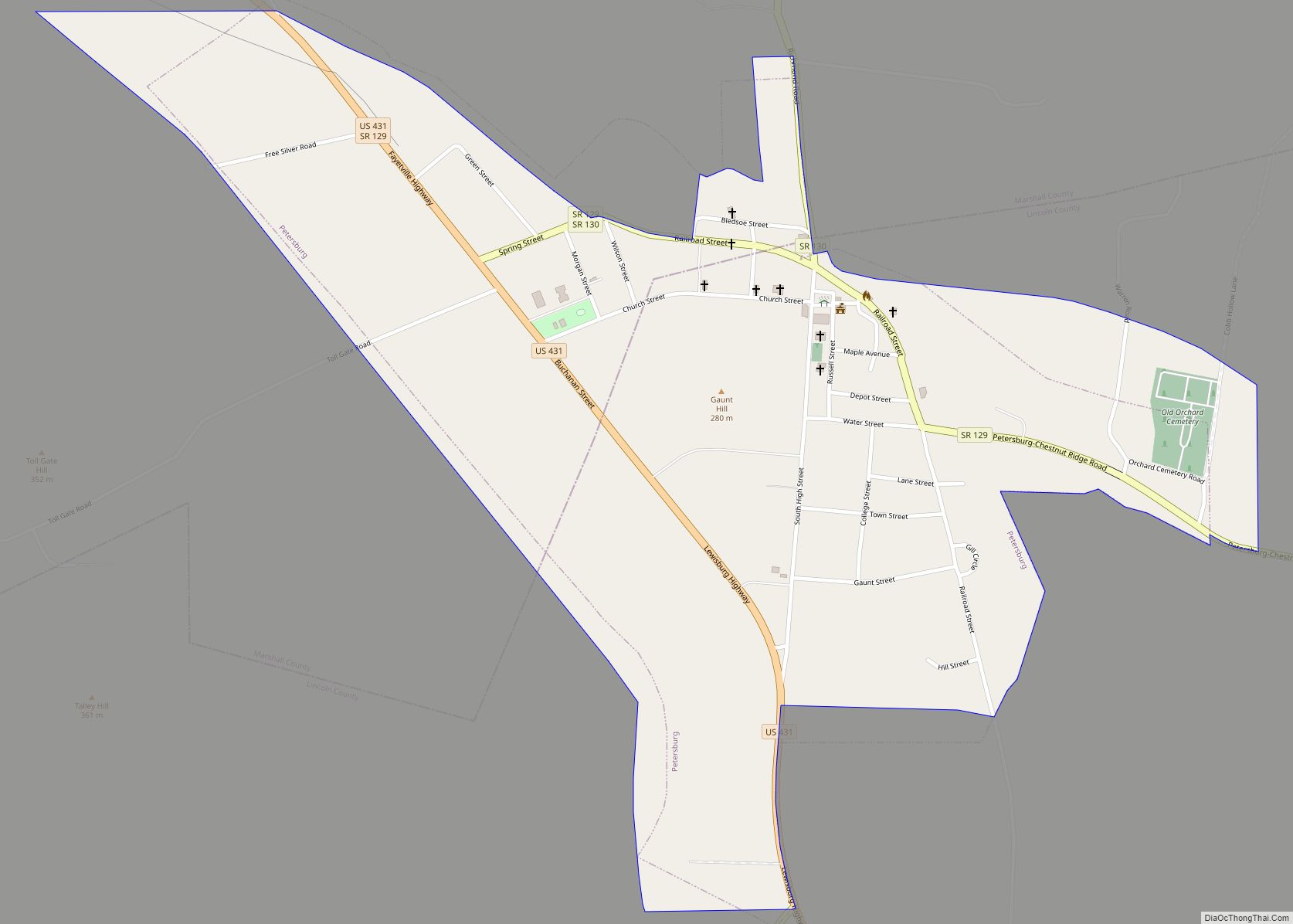
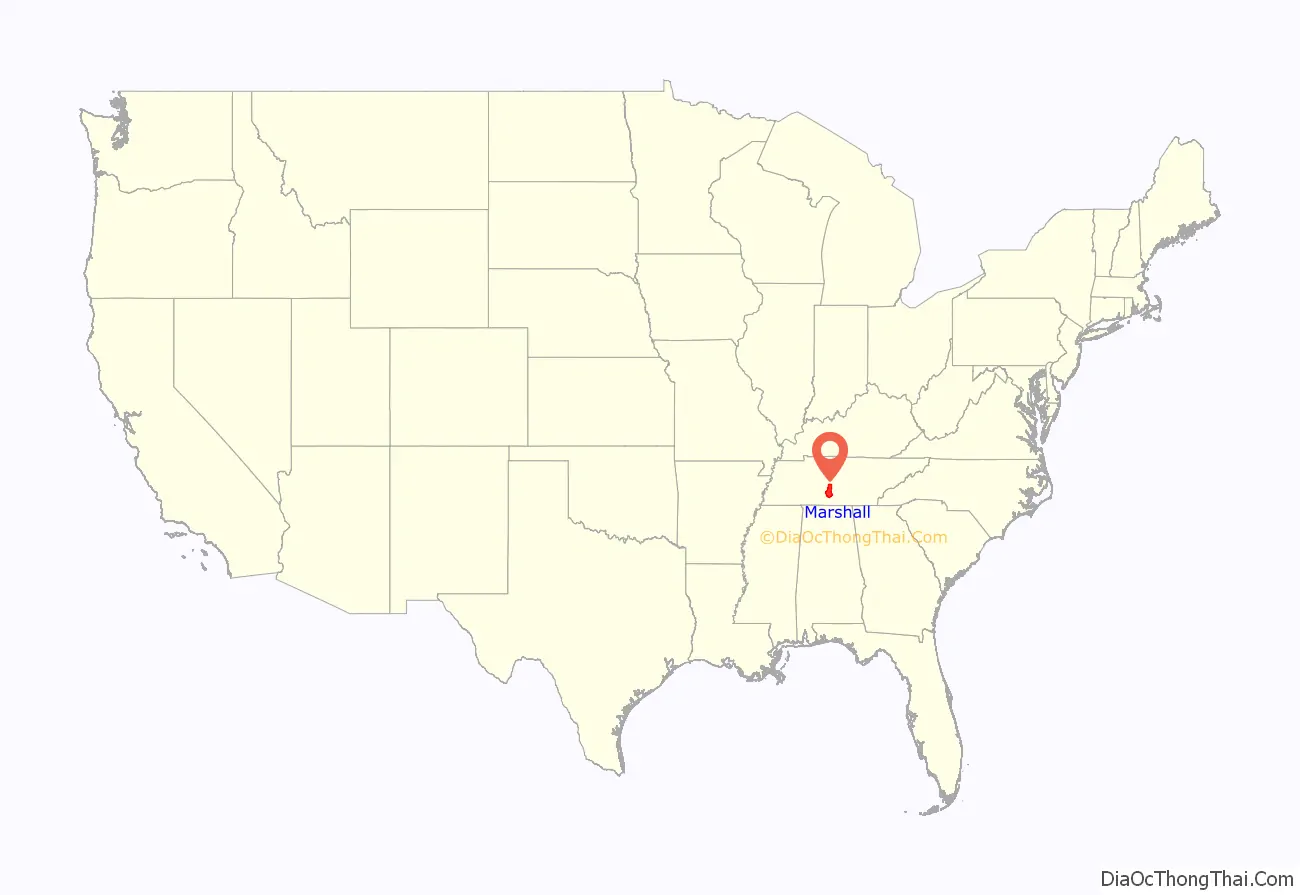
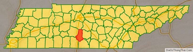
Marshall County is a county located in the U.S. state of Tennessee. As of the 2020 census, the population was 34,318. Its county seat is Lewisburg. Marshall County comprises the Lewisburg Micropolitan Statistical Area, which is also included in the Nashville-Davidson–Murfreesboro–Franklin, TN Metropolitan Statistical Area. It is in Middle Tennessee, one of the three Grand Divisions of the state.
The Tennessee Walking Horse Breeders’ and Exhibitors’ Association is based here. In addition, the fainting goat is another animal breed developed here. To celebrate this unique breed, the county holds an annual festival known as “Goats, Music and More,” drawing visitors from around the world.
| Name: | Marshall County |
|---|---|
| FIPS code: | 47-117 |
| State: | Tennessee |
| Founded: | February 20, 1836 |
| Named for: | John Marshall |
| Seat: | Lewisburg |
| Largest city: | Lewisburg |
| Total Area: | 376 sq mi (970 km²) |
| Land Area: | 375 sq mi (970 km²) |
| Total Population: | 34,318 |
| Population Density: | 82/sq mi (32/km²) |
| Time zone: | UTC−6 (Central) |
| Summer Time Zone (DST): | UTC−5 (CDT) |
| Website: | marshallcountytn.com |
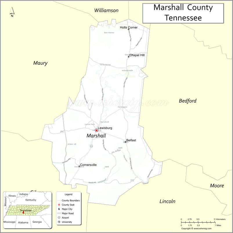
Marshall County location map. Where is Marshall County?
History
Marshall County was created in 1836 from parts of Giles, Bedford, Lincoln and Maury counties. Marshall County was originally to be named Cannon County. Due to a clerical error at the time of formation in 1836 the names of Marshall and Cannon Counties, both formed in 1836, were accidentally swapped and never corrected. It was named after the American jurist, John Marshall, Chief Justice of the U.S. Supreme Court.
The economy was based on agriculture in the antebellum years and well into the twentieth century. Planters had depended on the labor of enslaved African Americans to work the commodity crops of tobacco and hemp, as well as care for thoroughbred horses and other quality livestock. The breed known as the Tennessee Walking Horse was developed here.
After the war, blacks and whites struggled to adjust to emancipation and a free labor market. Freedmen founded Needmore as a community in Marshall County after the Civil War where they could live as neighbors and be relatively free of white supervision.
Whites committed violence against freedmen to re-establish and maintain dominance after the war. In the period after Reconstruction and into the early 20th century, whites in Marshall County committed eight lynchings of African Americans. This was the fifth-highest total of any county in the state, but three other counties, including two nearby, also had eight lynchings each.
Among these lynchings were the murders of John Milligan (also spelled Millikin) and John L. Hunter in the Needmore settlement near the county seat of Lewisburg in August 1903. Governor James B. Frazier offered a reward for information, as Whitecaps were blamed for the deaths, and the state was trying to eliminate this secret, vigilante group. In the early 20th century, numerous African Americans left the county during the period of the Great Migration to northern and midwestern industrial cities for work.
Three Tennessee governors— Henry Horton, Jim Nance McCord, and Buford Ellington— were each living in Marshall County at the time of their election as governor.
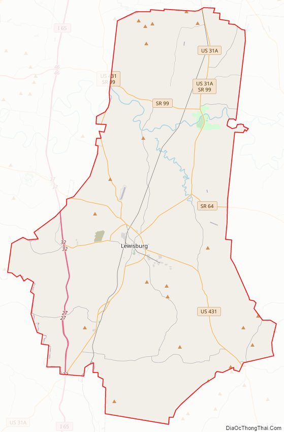
Marshall County Road Map
Geography
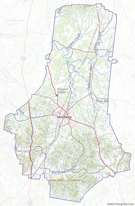
According to the U.S. Census Bureau, the county has a total area of 376 square miles (970 km), of which 375 square miles (970 km) is land and 0.7 square miles (1.8 km) (0.2%) is water. The Duck River drains much of the county.
Adjacent counties
- Rutherford County (northeast)
- Bedford County (east)
- Lincoln County (southeast)
- Giles County (southwest)
- Maury County (west)
- Williamson County (northwest)
State protected areas
- Henry Horton State Park
- Wilson School Road Forest and Cedar Glades State Natural Area
Marshall County Topographic Map
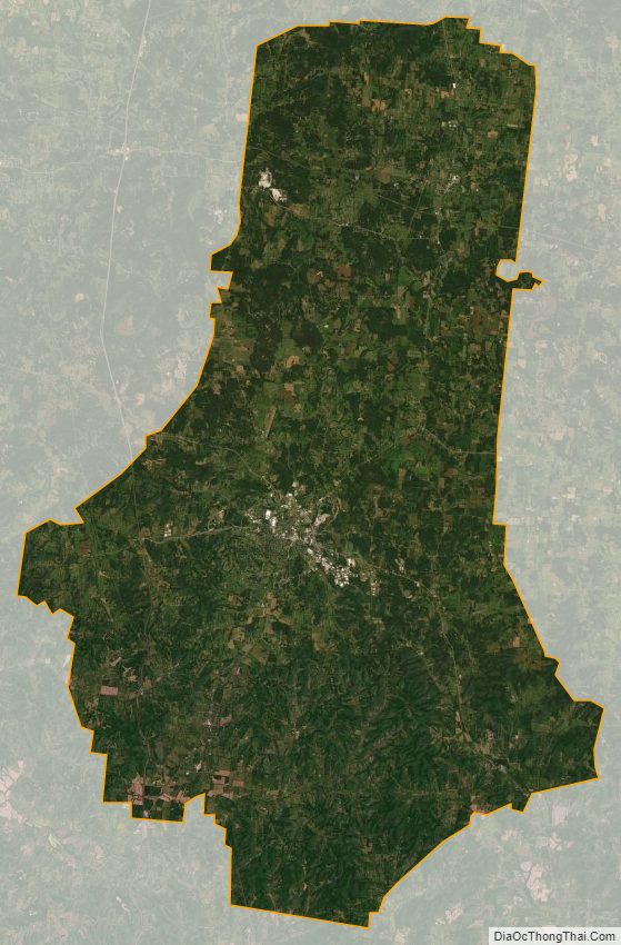
Marshall County Satellite Map
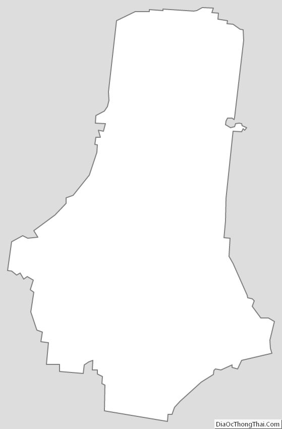
Marshall County Outline Map