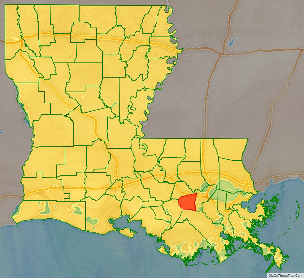
St. James Parish (French: Paroisse de Saint-Jacques) is a parish located in the U.S. state of Louisiana. The parish seat is Convent. The parish was created in 1807. St. James Parish is a part of the New Orleans–Metairie, Louisiana metropolitan statistical area, sitting between New Orleans and Baton Rouge on the Mississippi River. According to the 2020 United States census, the population was 20,192.
It is perhaps best known for being located within Cancer Alley, and as the home base of Goldman Environmental Prize-winning environmental activist Sharon Lavigne.
| Name: | St. James Parish |
|---|---|
| FIPS code: | 22-093 |
| State: | Louisiana |
| Founded: | March 31, 1807 |
| Named for: | St. James |
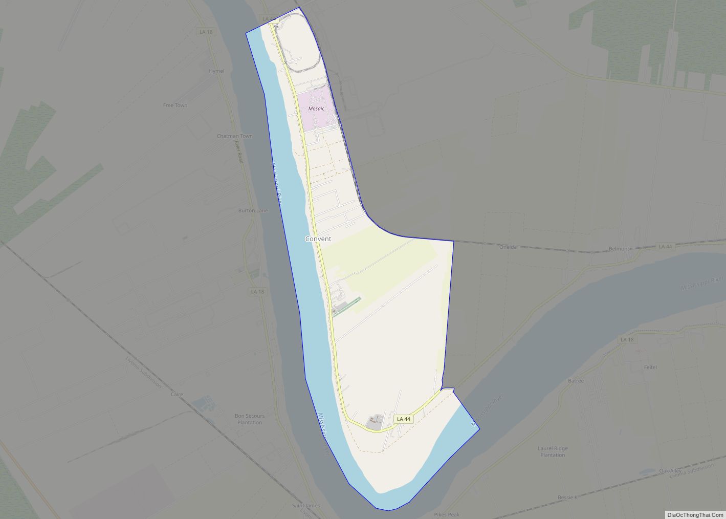
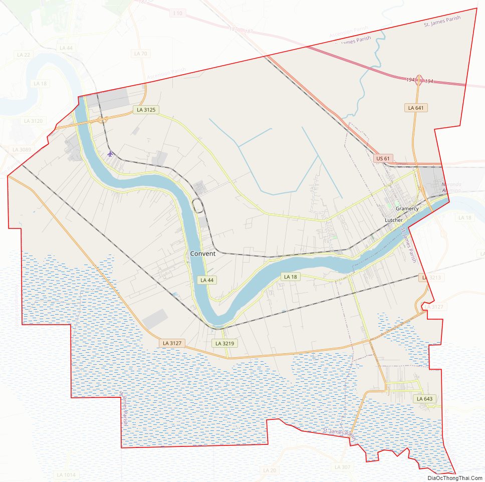
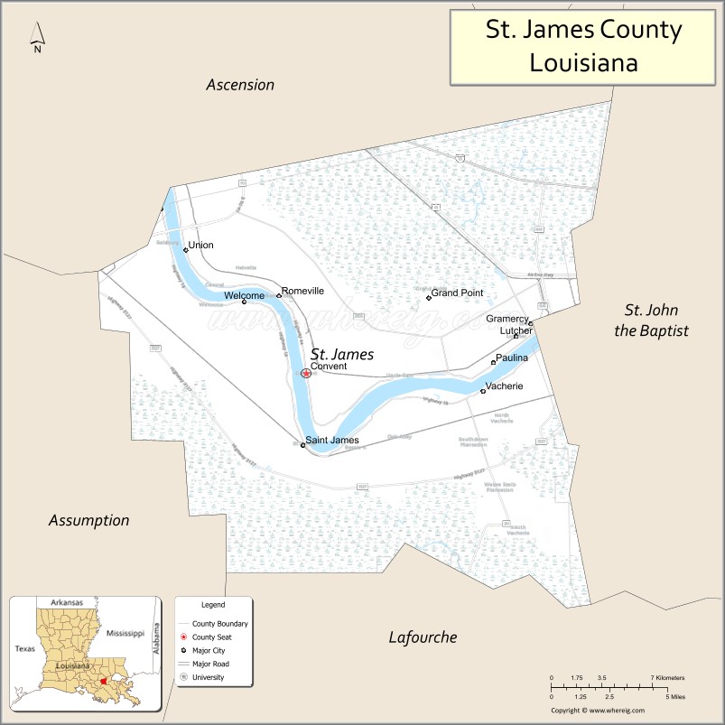
| Seat: | Convent |
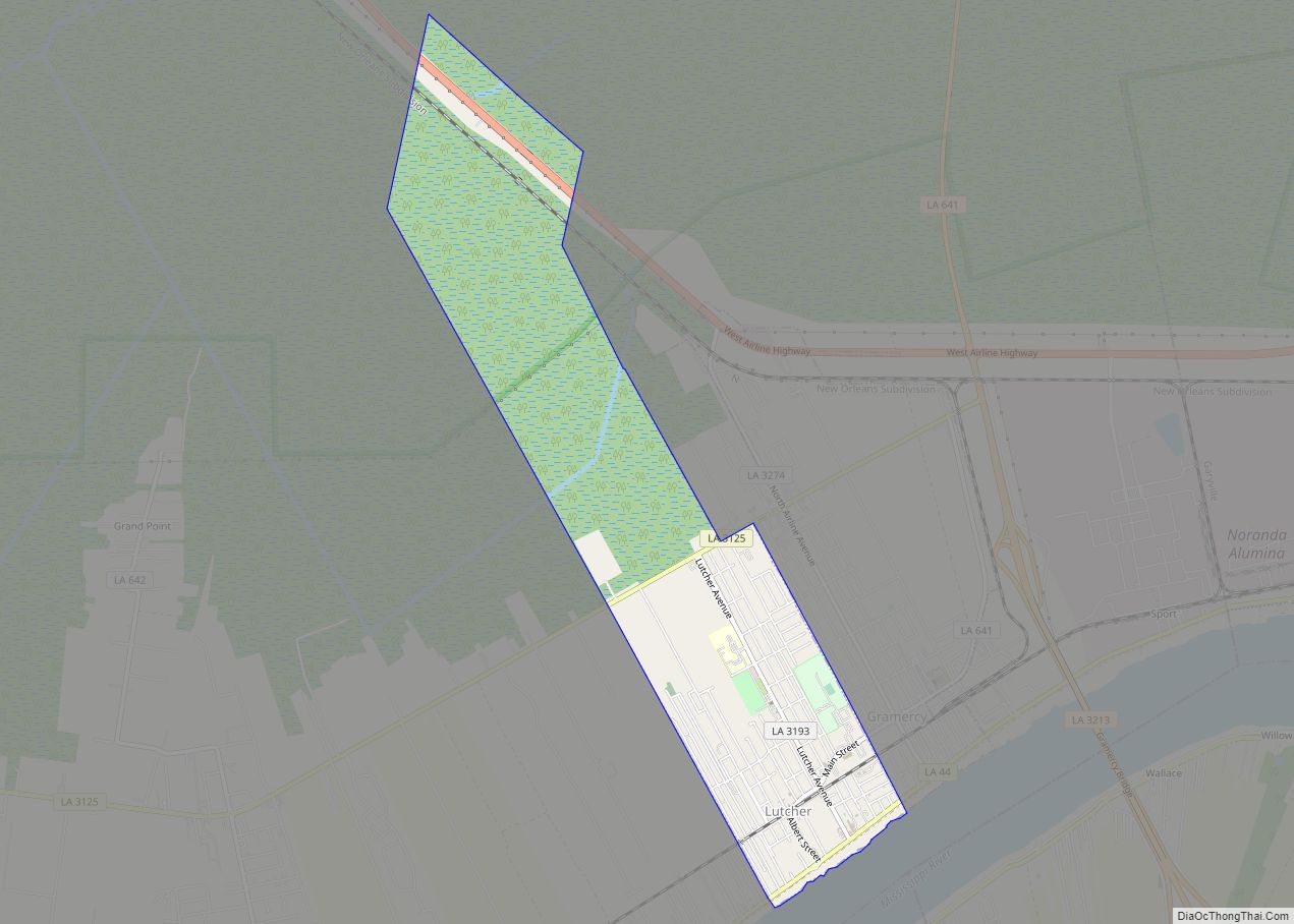
| Largest town: | Lutcher |
| Total Area: | 258 sq mi (670 km²) |
| Land Area: | 242 sq mi (630 km²) |
| Total Population: | 20,192 |
| Population Density: | 78/sq mi (30/km²) |
| Time zone: | UTC−6 (Central) |
| Summer Time Zone (DST): | UTC−5 (CDT) |
| Website: | www.stjamesla.com |
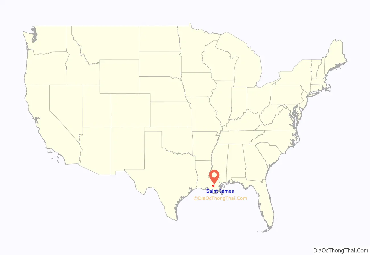
St. James Parish location map. Where is St. James Parish?
History
St. James is one of the state’s nineteen original parishes, created by act of the territorial legislature, March 31, 1807. The original seat of government was the community of St. James, on the west bank of the Mississippi, but this was moved in 1869 to what is now Convent, on the east bank.
St. James Parish is part of the Acadian Coast. While it is possible that some Acadians did arrive prior to 1755 or between 1755 and 1764, the first documented group of Acadians [4 families: 20 individuals] arrived in New Orleans in February 1764. The arrival was documented in a letter dated April 6, 1764, from Governor D’Abbadie to his superior in France. They were settled along the Mississippi River in present-day St. James.
St. James is known for its tradition, Bonfires on the Levee, which takes place every Christmas Eve. Residents build large bonfires along the River levee, lighting them all at nightfall. The townsfolk tell the children that the purpose of this tradition is so Papa Noel can easily see his way down the Mississippi as he is delivering gifts.
St. James is the only cultivation site in the world for Perique tobacco, introduced by an Acadian exile, Pierre Chenet, whose nickname was “Perique.” It has been produced by his descendants for nearly two centuries (now covering only a 300-acre (1.2 km) tract) and is in great demand by large tobacco companies.
St. James Parish Road Map
Geography
According to the U.S. Census Bureau, the parish has a total area of 258 square miles (670 km), of which 242 square miles (630 km) is land and 16 square miles (41 km) (6.4%) is water. It is the fourth-smallest parish in Louisiana by land area and second-smallest by total area.
Major highways
- Interstate 10
- U.S. Highway 61
- Louisiana Highway 18
- Louisiana Highway 20
- Louisiana Highway 44
- Louisiana Highway 70 (Sunshine Bridge across Mississippi River)
- Louisiana Highway 3127
- Louisiana Highway 3213 (Gramercy Bridge across Mississippi River)
Adjacent parishes
- Ascension Parish (north)
- St. John the Baptist Parish (east)
- Lafourche Parish (south)
- Assumption Parish (west)
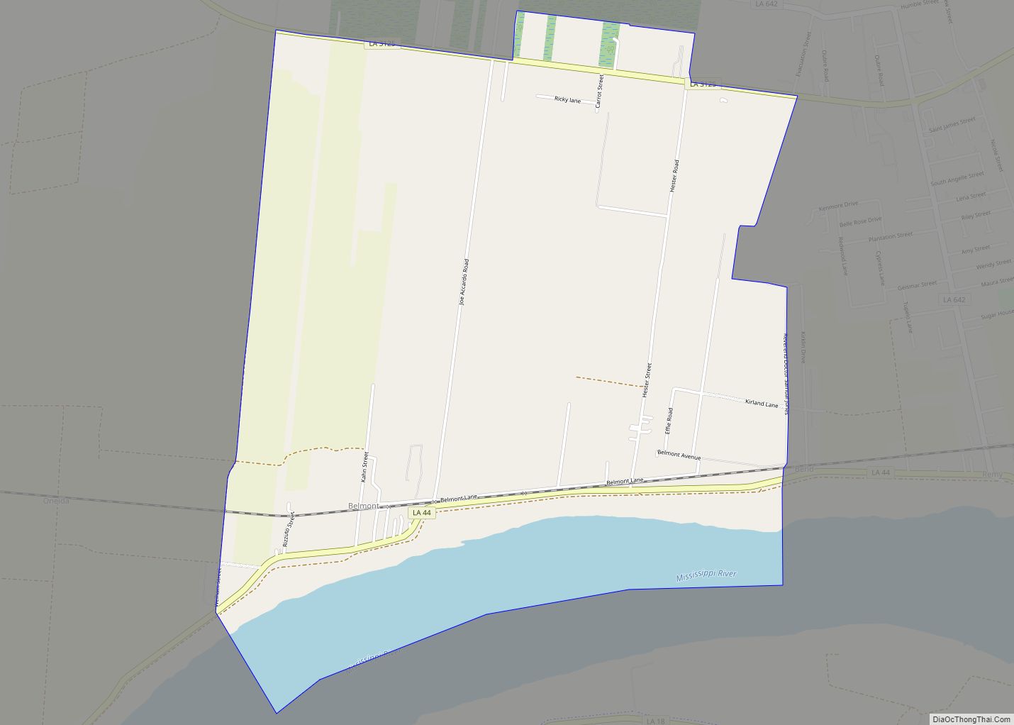
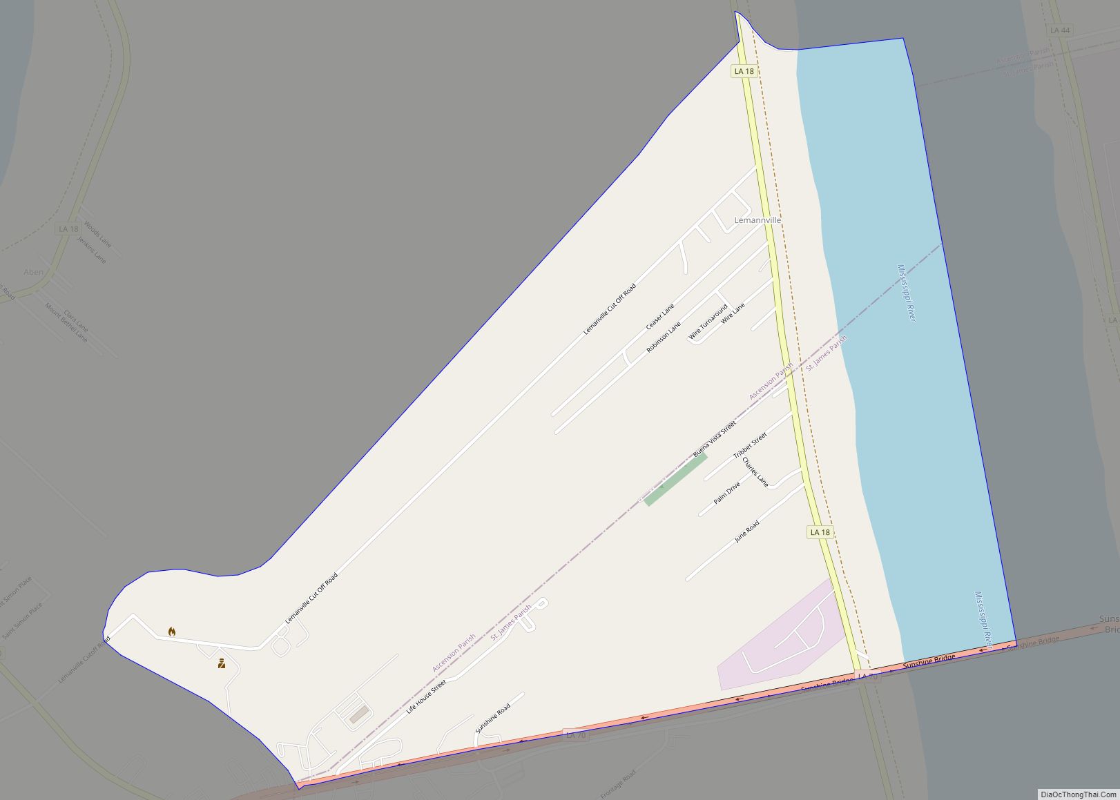
Communities
- Convent (parish seat)
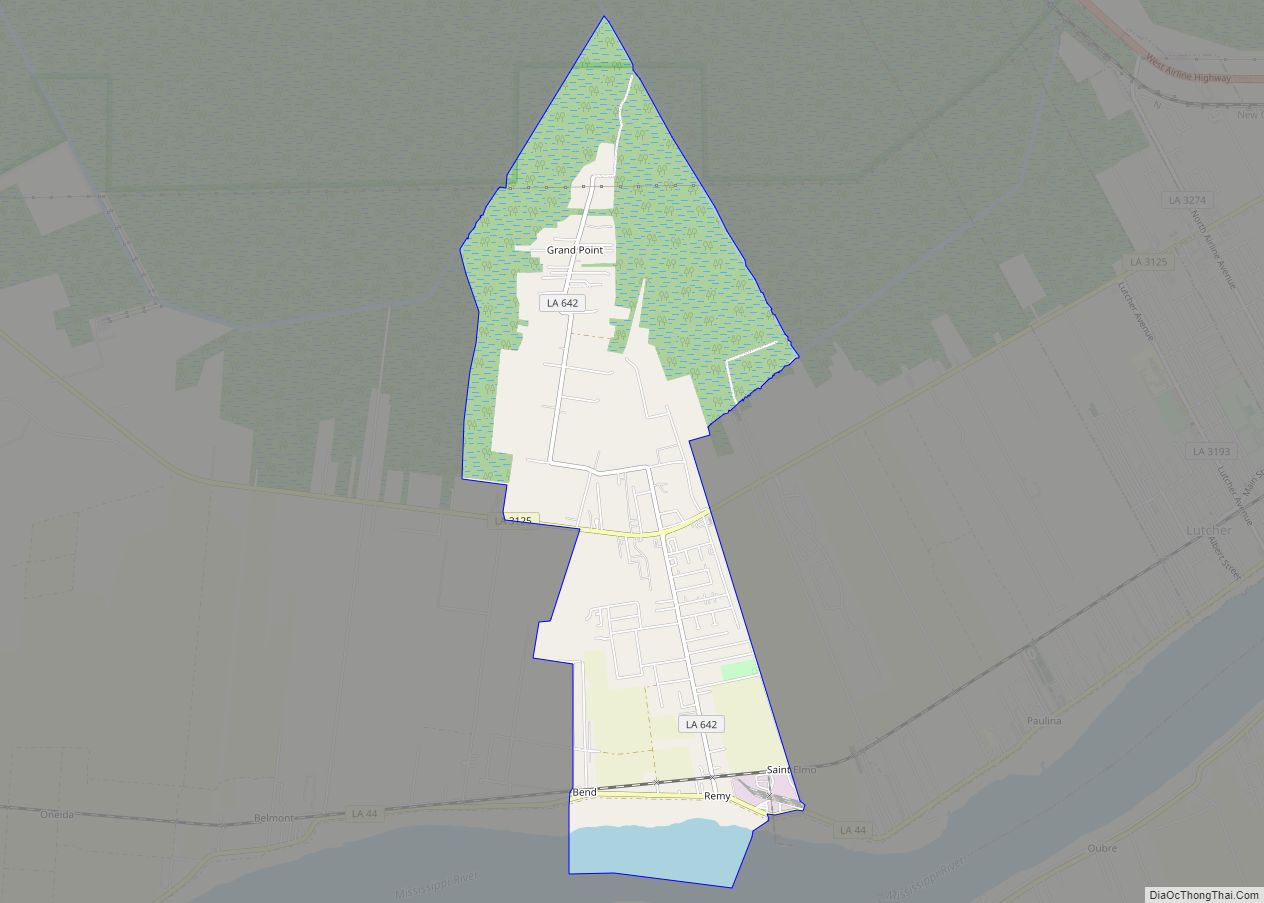
- Grand Point
- Hester
- Lemannville
- Moonshine
- North Vacherie
- Paulina
- Romeville
- South Vacherie
- St. James
- Union
- Welcome
- Vacherie
St. James Parish Topographic Map
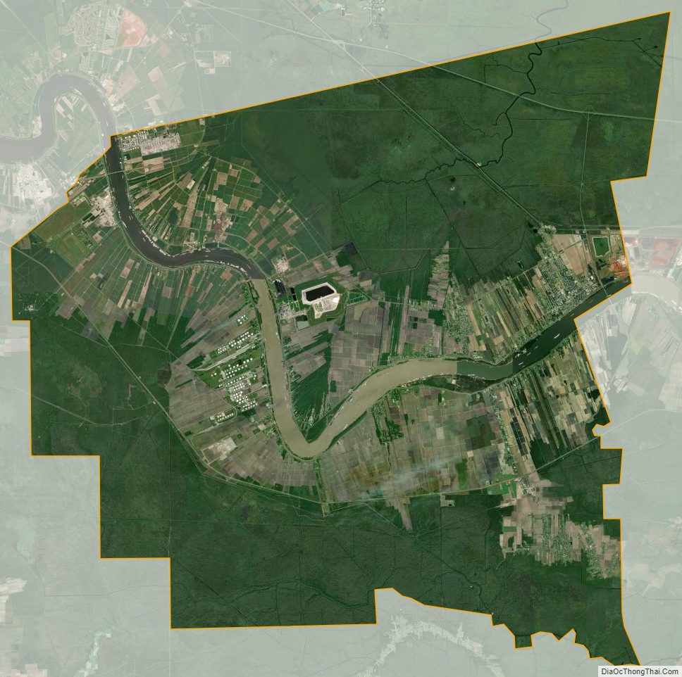
St. James Parish Satellite Map
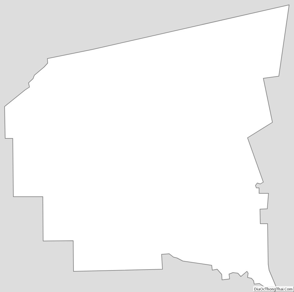
St. James Parish Outline Map