Gramercy is a town in the U.S. state of Louisiana, in St. James Parish. It is part of the New Orleans Metropolitan Area . The population was 3,613 at the time of the 2010 U.S. census and 3,188 according to the 2020 population estimates program.
| Name: | Gramercy town |
|---|---|
| LSAD Code: | 43 |
| LSAD Description: | town (suffix) |
| State: | Louisiana |
| County: | St. James Parish |
| Elevation: | 16 ft (5 m) |
| Total Area: | 2.04 sq mi (5.29 km²) |
| Land Area: | 2.01 sq mi (5.21 km²) |
| Water Area: | 0.03 sq mi (0.08 km²) |
| Total Population: | 2,932 |
| Population Density: | 1,456.53/sq mi (562.50/km²) |
| Area code: | 225 |
| FIPS code: | 2230550 |
| Website: | www.townofgramercy.com |
Online Interactive Map
Click on ![]() to view map in "full screen" mode.
to view map in "full screen" mode.
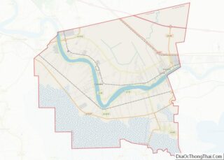
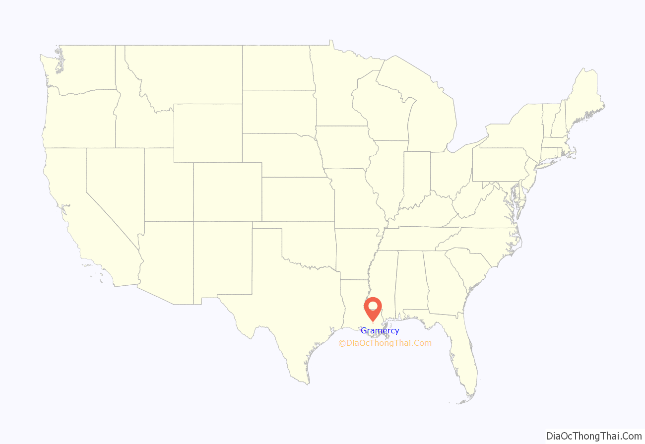
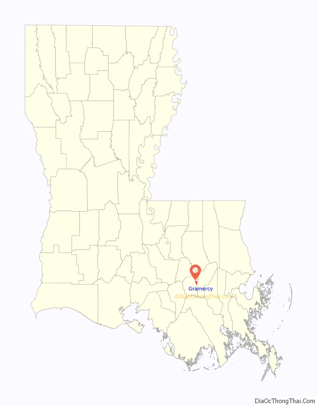
Gramercy location map. Where is Gramercy town?
History
Gramercy was originally an American Indian and French settlement and trading post. In 1739, much of the area which is now known as Gramercy was sold to Joseph Delille Dupart, Commissioner of Indian Nations under Jean-Baptiste Le Moyne de Bienville. The town was incorporated in November 1947. A historic sugar mill was established in Gramercy in 1895, which became the Colonial Sugar Refinery in 1902. The National Park Service has designated the site as the Colonial Sugar National Historic District.
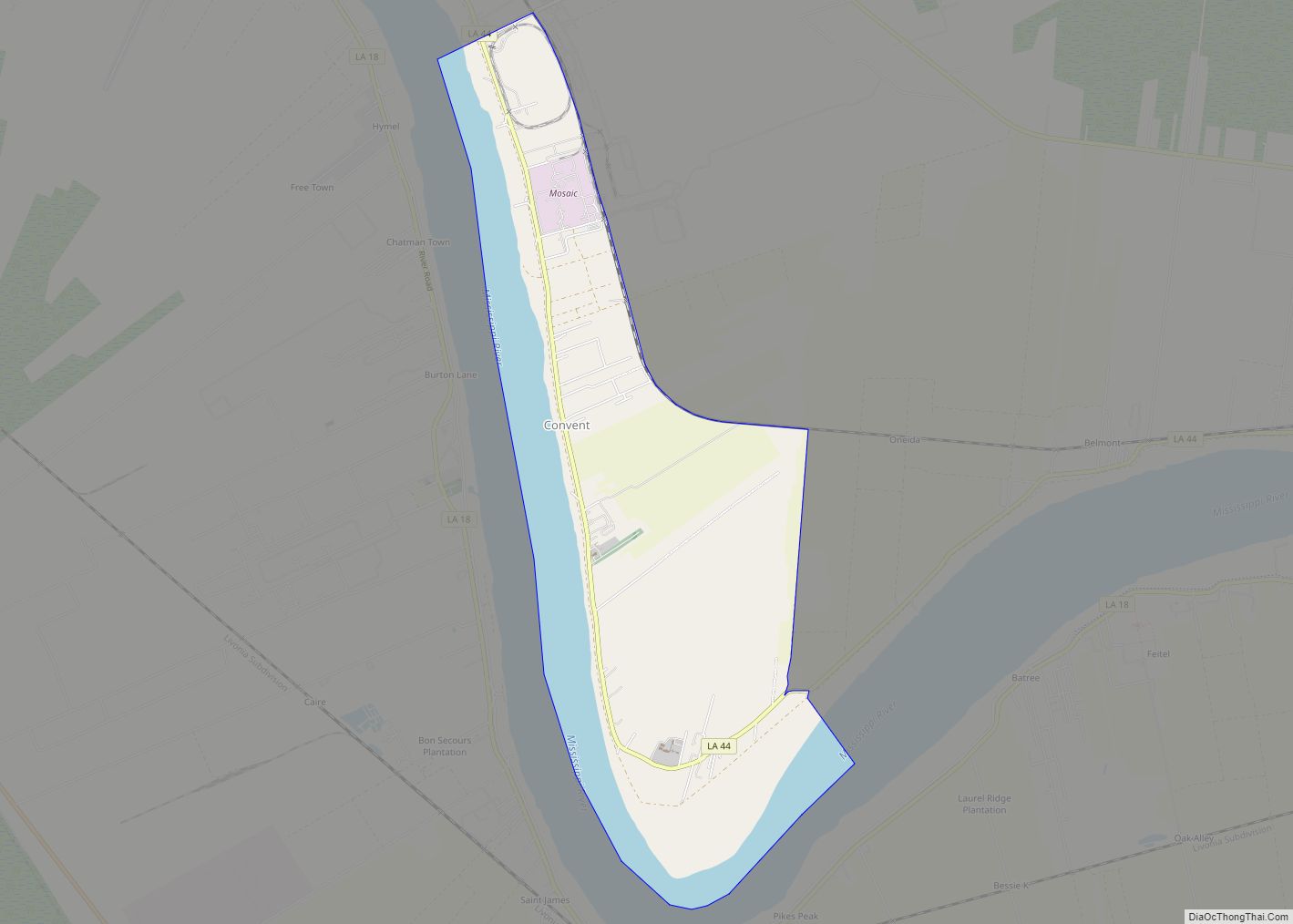
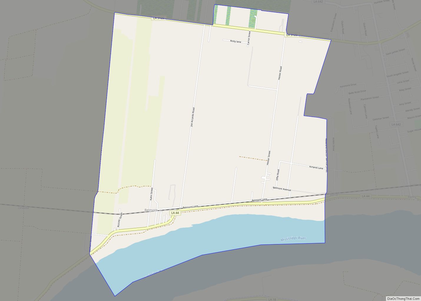
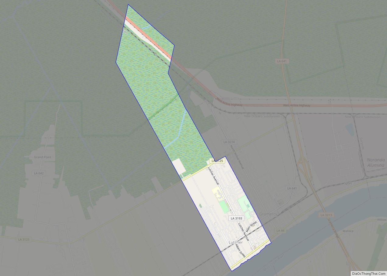
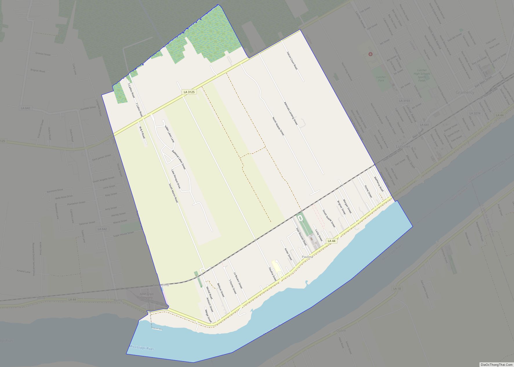
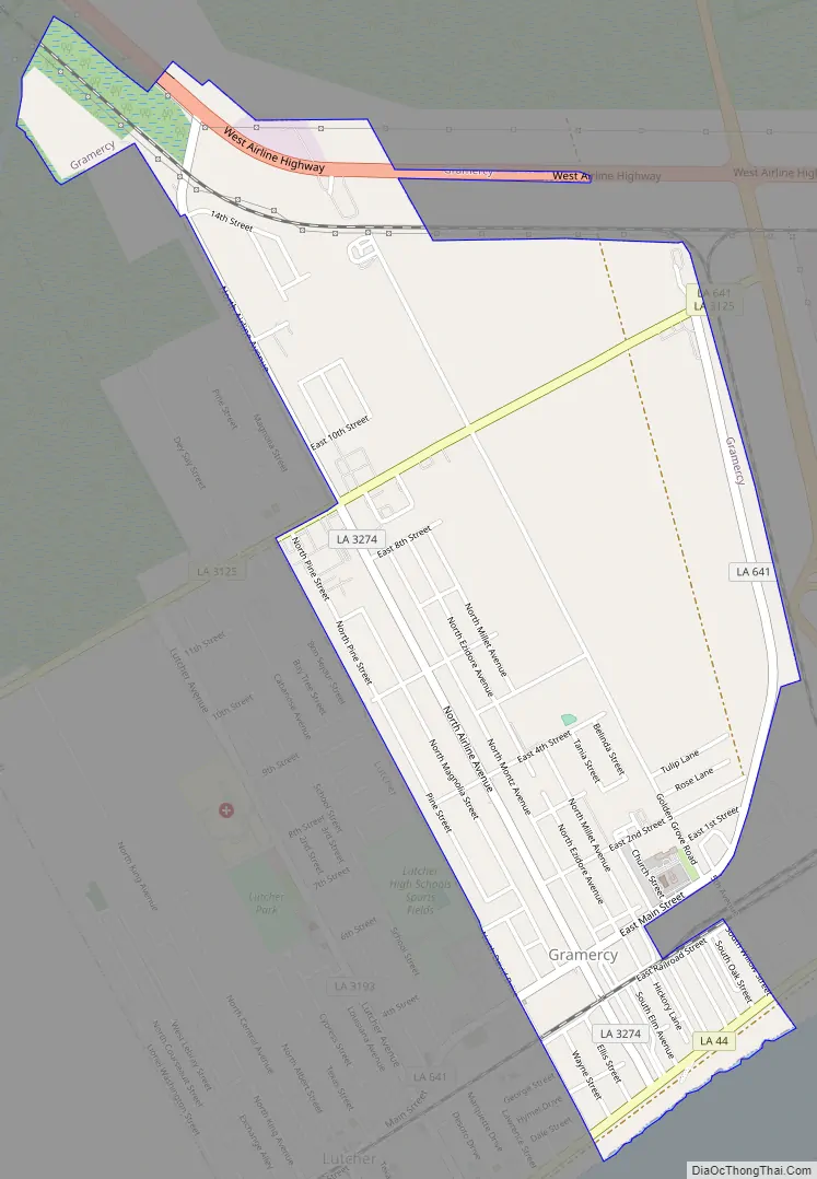
Gramercy Road Map
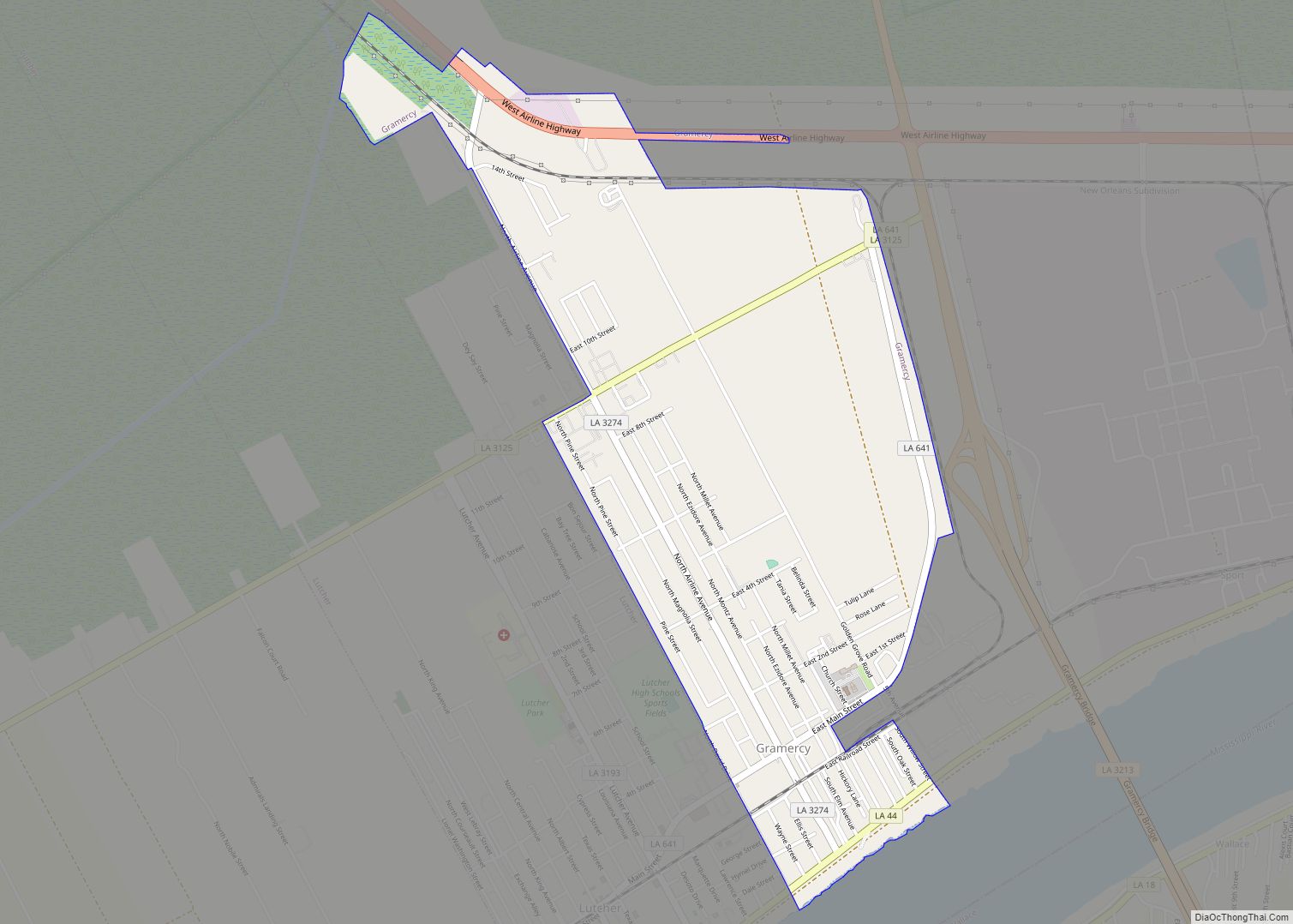
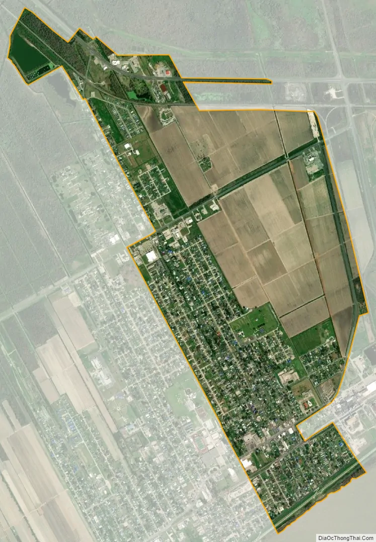
Gramercy city Satellite Map
Geography
Gramercy is located at 30°3′14″N 90°41′21″W / 30.05389°N 90.68917°W / 30.05389; -90.68917 (30.053907, -90.689154). The town of Gramercy is bordered on the west by the town of Lutcher and on the south by the Mississippi River. Gramercy is approximately 36 miles west of New Orleans
According to the United States Census Bureau, the town has a total area of 2.1 square miles (5.4 km), of which 2.1 square miles (5.4 km) is land and 0.04 square miles (0.10 km) (1.42%) is water.
See also
Map of Louisiana State and its subdivision:- Acadia
- Allen
- Ascension
- Assumption
- Avoyelles
- Beauregard
- Bienville
- Bossier
- Caddo
- Calcasieu
- Caldwell
- Cameron
- Catahoula
- Claiborne
- Concordia
- De Soto
- East Baton Rouge
- East Carroll
- East Feliciana
- Evangeline
- Franklin
- Grant
- Iberia
- Iberville
- Jackson
- Jefferson
- Jefferson Davis
- La Salle
- Lafayette
- Lafourche
- Lincoln
- Livingston
- Madison
- Morehouse
- Natchitoches
- Orleans
- Ouachita
- Plaquemines
- Pointe Coupee
- Rapides
- Red River
- Richland
- Sabine
- Saint Bernard
- Saint Charles
- Saint Helena
- Saint James
- Saint John the Baptist
- Saint Landry
- Saint Martin
- Saint Mary
- Saint Tammany
- Tangipahoa
- Tensas
- Terrebonne
- Union
- Vermilion
- Vernon
- Washington
- Webster
- West Baton Rouge
- West Carroll
- West Feliciana
- Winn
- Alabama
- Alaska
- Arizona
- Arkansas
- California
- Colorado
- Connecticut
- Delaware
- District of Columbia
- Florida
- Georgia
- Hawaii
- Idaho
- Illinois
- Indiana
- Iowa
- Kansas
- Kentucky
- Louisiana
- Maine
- Maryland
- Massachusetts
- Michigan
- Minnesota
- Mississippi
- Missouri
- Montana
- Nebraska
- Nevada
- New Hampshire
- New Jersey
- New Mexico
- New York
- North Carolina
- North Dakota
- Ohio
- Oklahoma
- Oregon
- Pennsylvania
- Rhode Island
- South Carolina
- South Dakota
- Tennessee
- Texas
- Utah
- Vermont
- Virginia
- Washington
- West Virginia
- Wisconsin
- Wyoming