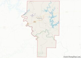
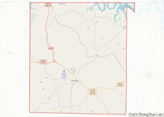
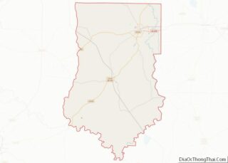
Saline County (/ˈsʌ.liːn/ suh-LEAN) is located in the U.S. state of Arkansas. As of the 2020 census, the population was 123,416. Its county seat and largest city is Benton. Saline County was formed on November 2, 1835, and named for the salt water (brine) springs in the area, despite a differing pronunciation from saline. Until November 2014, it was an alcohol prohibition or dry county.
Saline County is included in the Central Arkansas region.
| Name: | Saline County |
|---|---|
| FIPS code: | 05-125 |
| State: | Arkansas |
| Founded: | November 2, 1835 |
| Seat: | Benton |
| Largest city: | Benton |
| Total Area: | 730 sq mi (1,900 km²) |
| Land Area: | 724 sq mi (1,880 km²) |
| Total Population: | 123,416 |
| Population Density: | 170/sq mi (65/km²) |
| Time zone: | UTC−6 (Central) |
| Summer Time Zone (DST): | UTC−5 (CDT) |
| Website: | www.salinecounty.org |
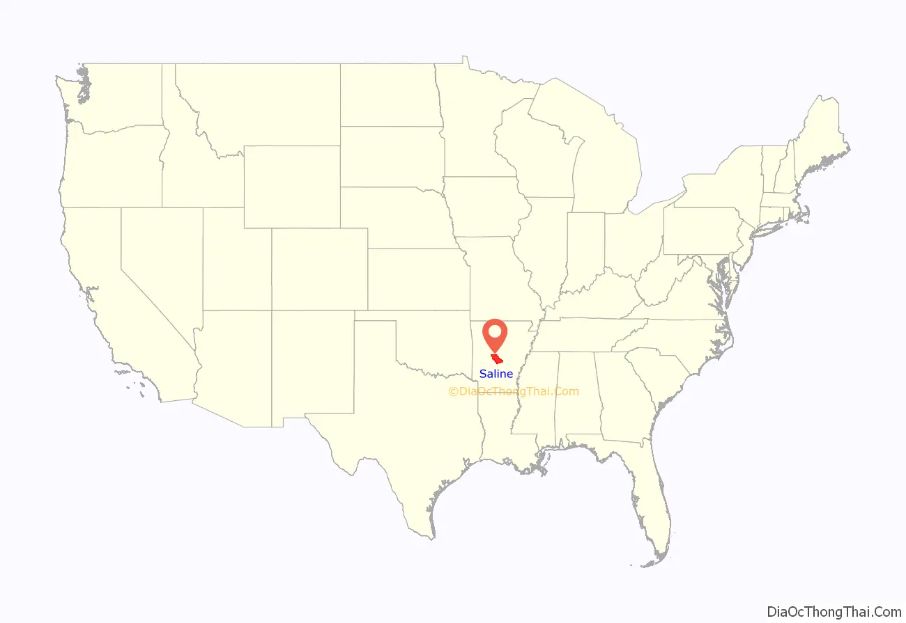
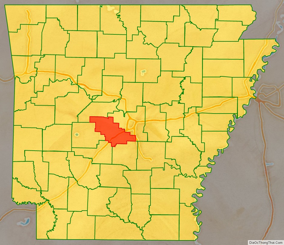
Saline County location map. Where is Saline County?
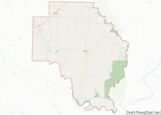
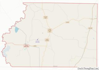
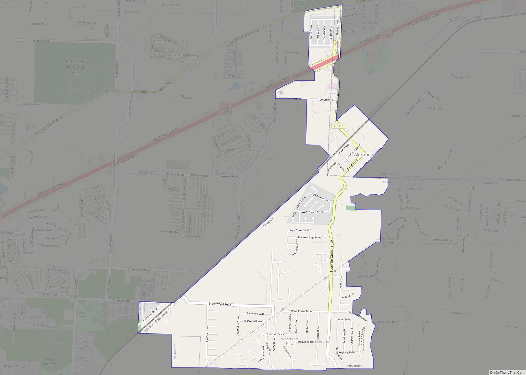
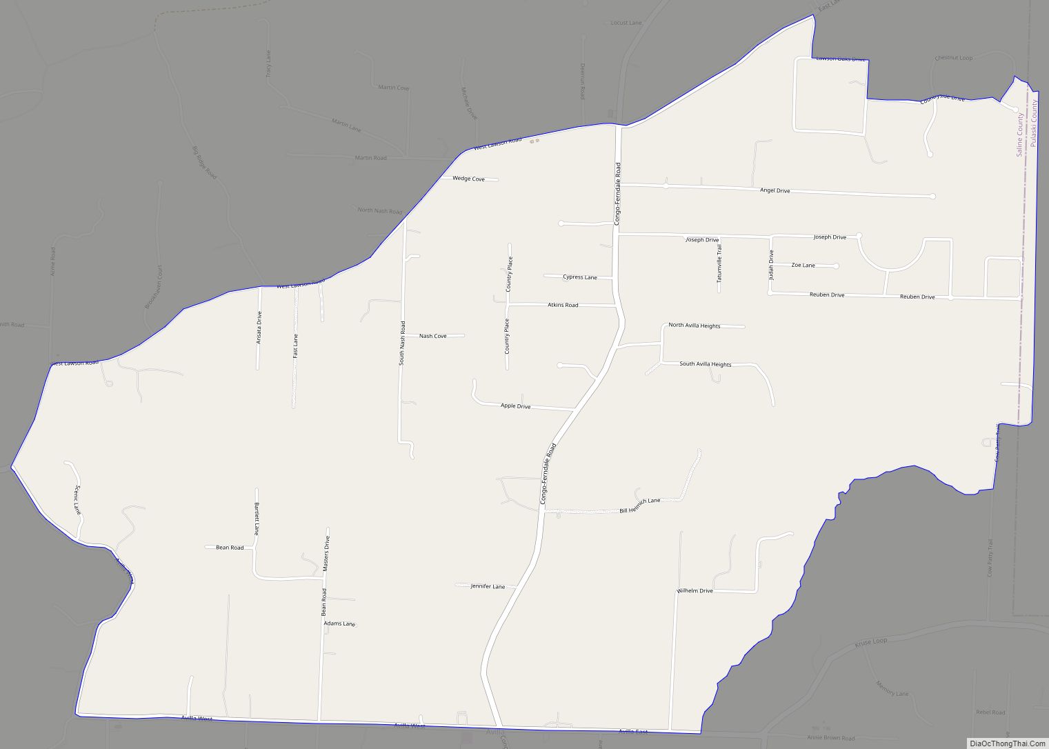
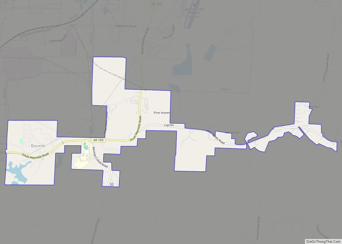
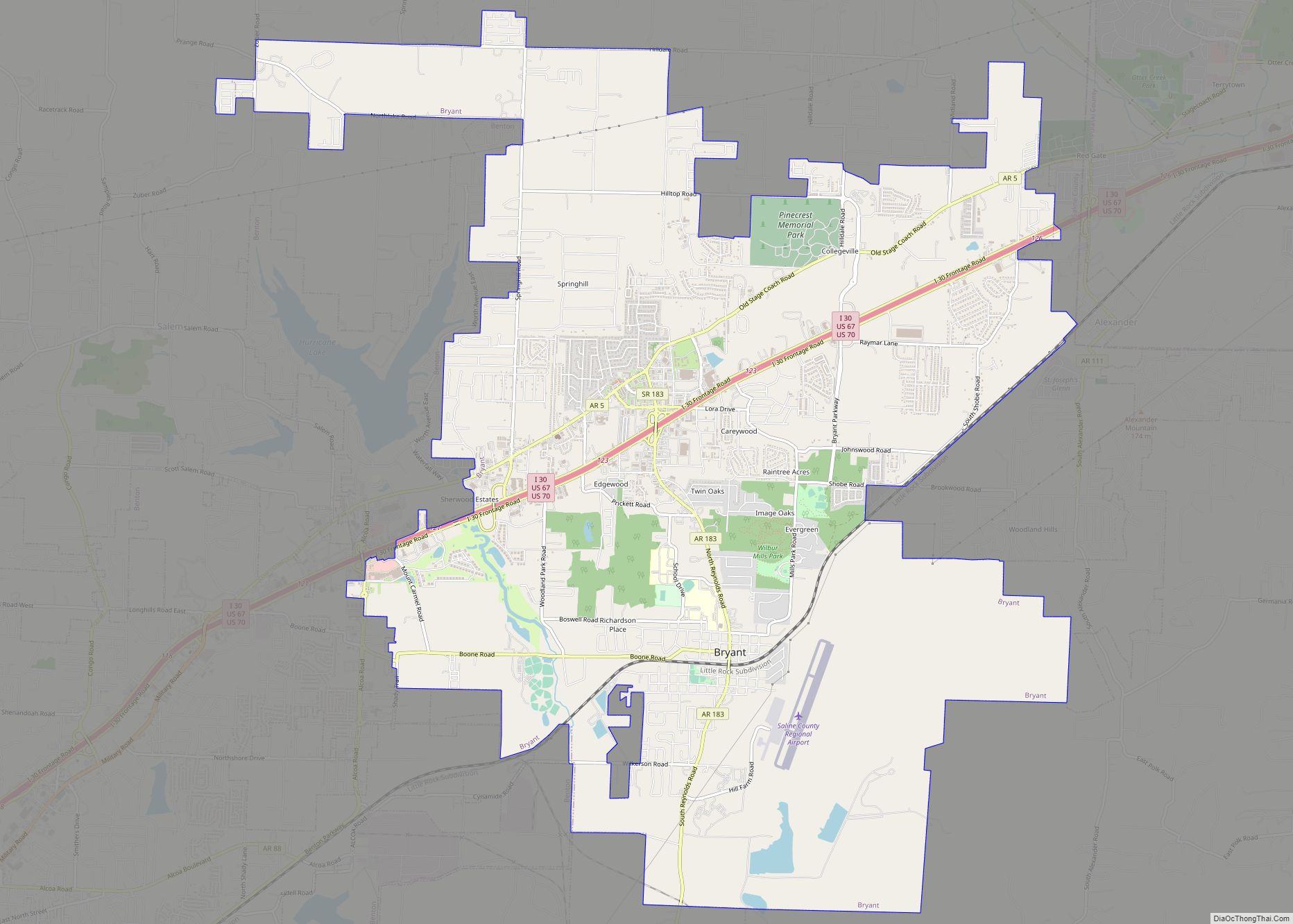
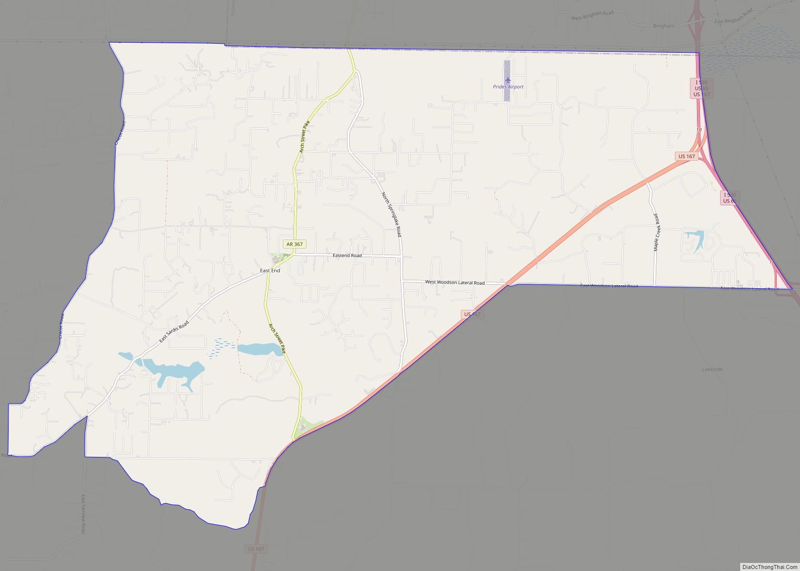
Saline County Road Map
Geography
According to the U.S. Census Bureau, the county has a total area of 730 square miles (1,900 km), of which 724 square miles (1,880 km) is land and 6.9 square miles (18 km) (0.9%) is water.
Major highways
- Interstate 30
- Interstate 30 Business Loop
- Interstate 530
- U.S. Highway 65
- U.S. Highway 67
- U.S. Highway 70
- U.S. Highway 167
- Highway 5
- Highway 9
- Highway 35
Adjacent counties
- Perry County (northwest)
- Pulaski County (northeast)
- Grant County (southeast)
- Hot Spring County (southwest)
- Garland County (west)
National protected area
- Ouachita National Forest (part)
