Alexander is a city in Pulaski and Saline counties in the U.S. state of Arkansas. Located in Central Arkansas, the town was founded as a construction camp for the nearby railroad. Following its completion, the citizens decided to incorporate in 1887. Alexander is home to the Arkansas Juvenile Assessment and Treatment Center. The population was 2,901 at the 2010 census.
| Name: | Alexander city |
|---|---|
| LSAD Code: | 25 |
| LSAD Description: | city (suffix) |
| State: | Arkansas |
| County: | Pulaski County, Saline County |
| Elevation: | 354 ft (108 m) |
| Total Area: | 2.26 sq mi (5.85 km²) |
| Land Area: | 2.26 sq mi (5.85 km²) |
| Water Area: | 0.00 sq mi (0.00 km²) |
| Total Population: | 3,385 |
| Population Density: | 1,499.11/sq mi (578.82/km²) |
| ZIP code: | 72002 |
| Area code: | 501 |
| FIPS code: | 0500580 |
| GNISfeature ID: | 0057254 |
| Website: | www.cityofalexander.com |
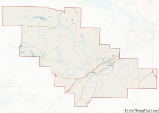
Online Interactive Map
Click on ![]() to view map in "full screen" mode.
to view map in "full screen" mode.
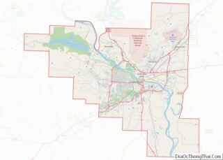
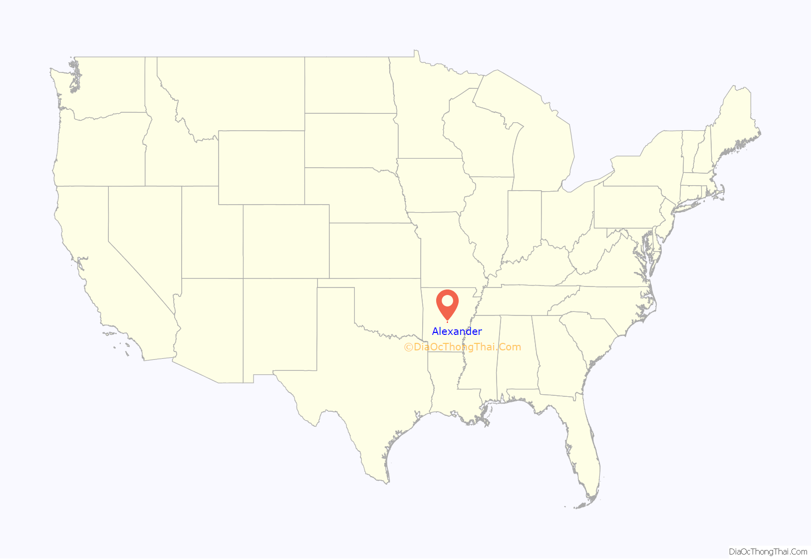
Alexander location map. Where is Alexander city?

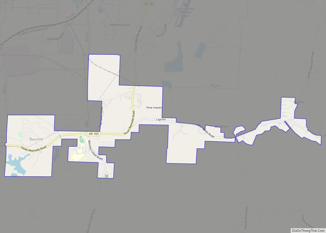
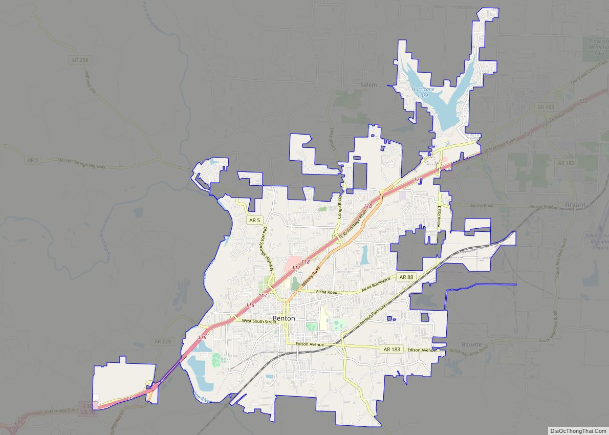
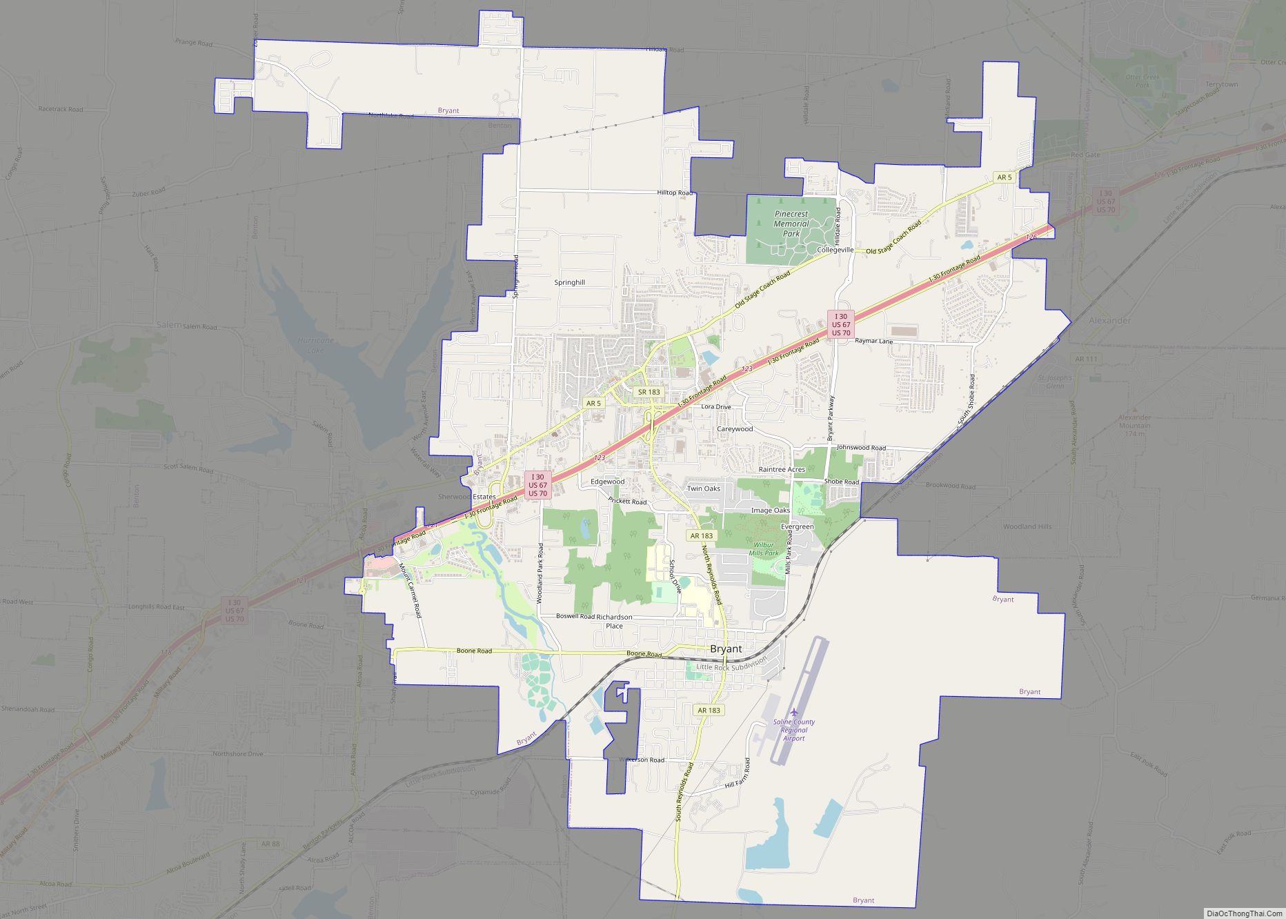
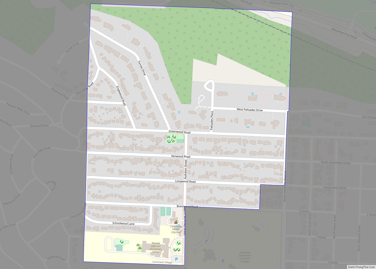
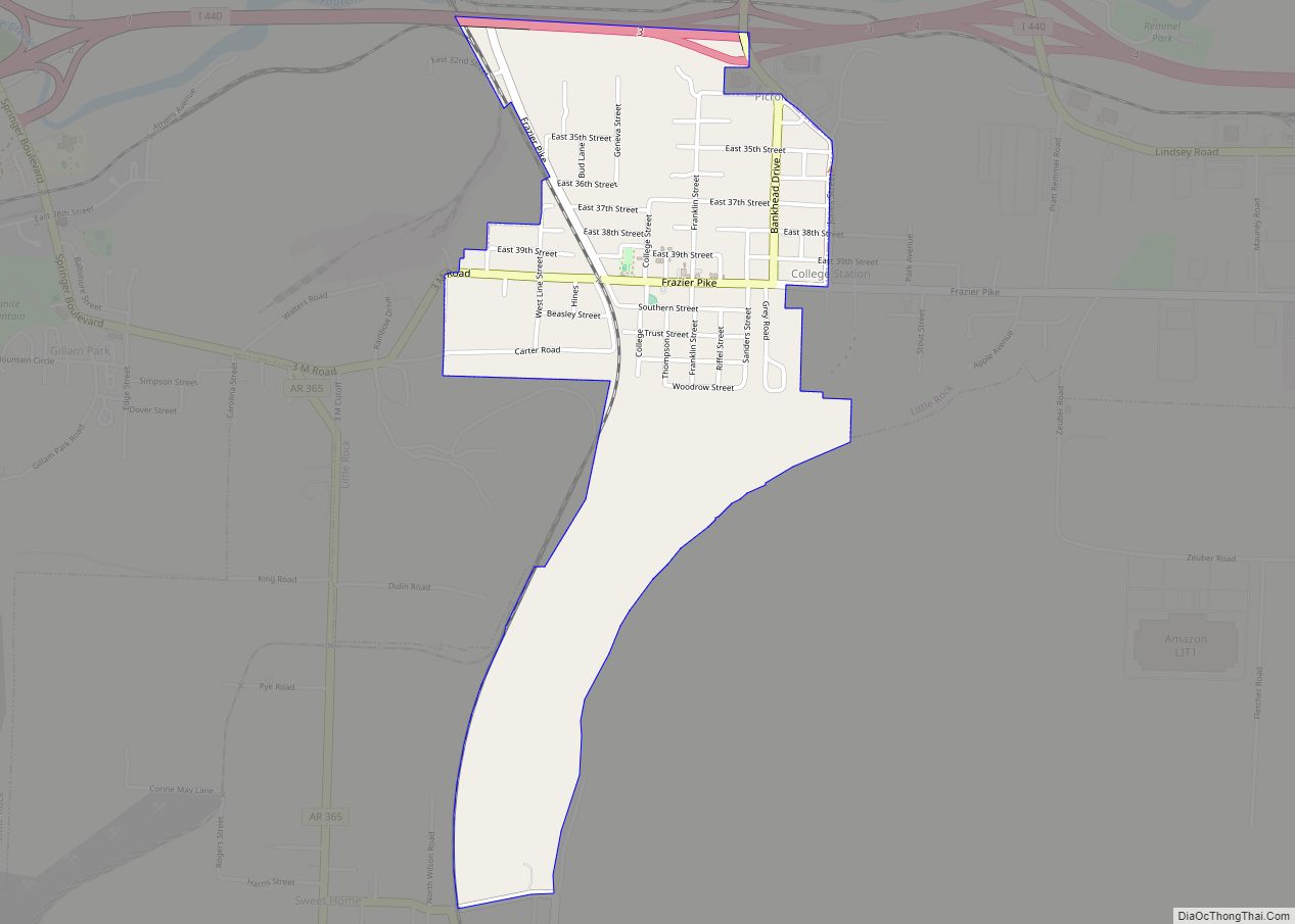
Alexander Road Map

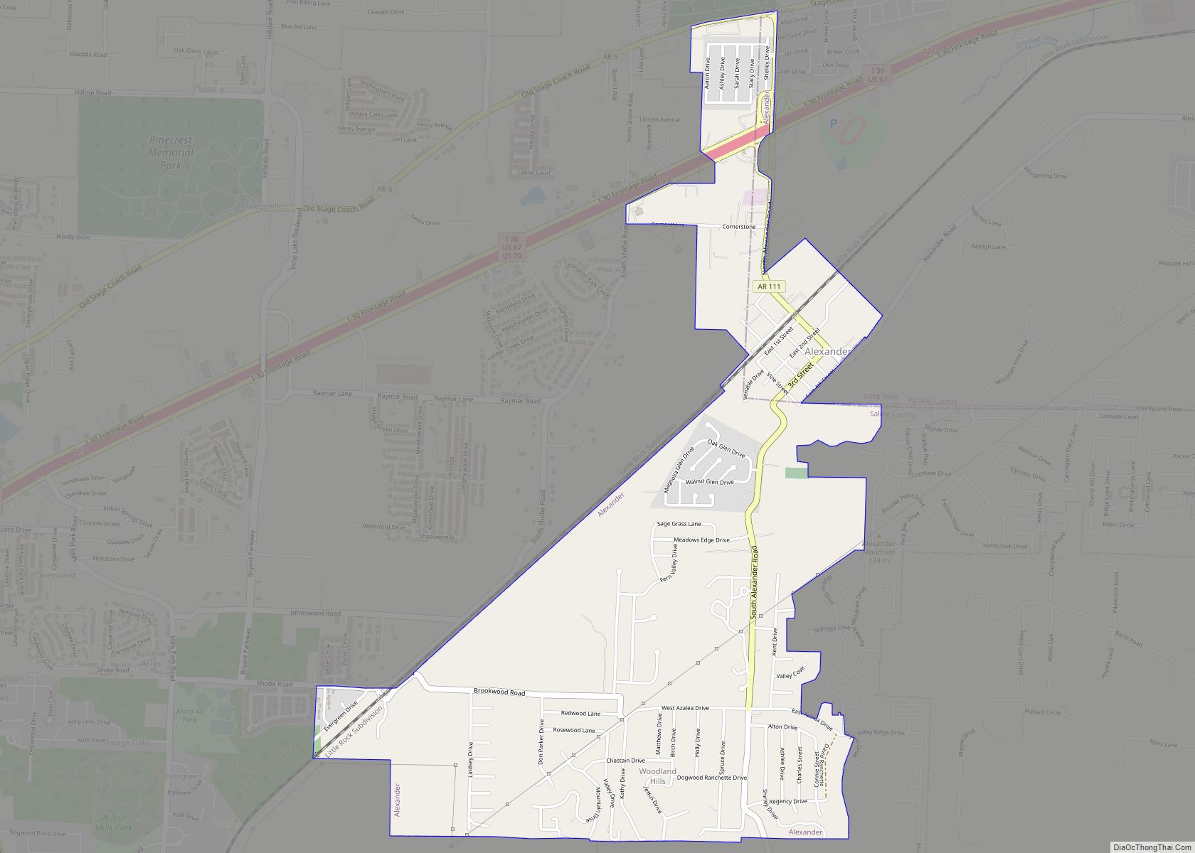
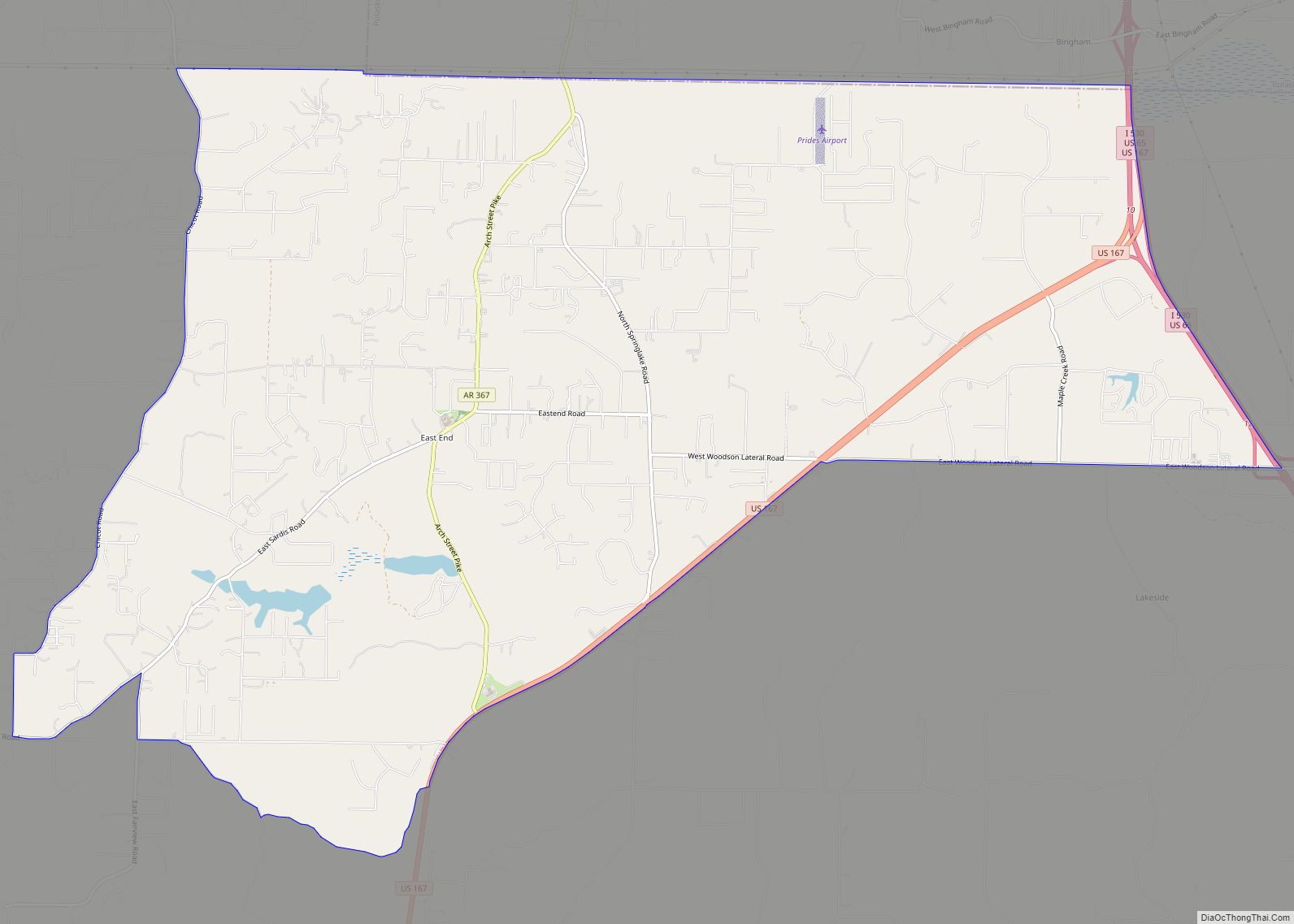
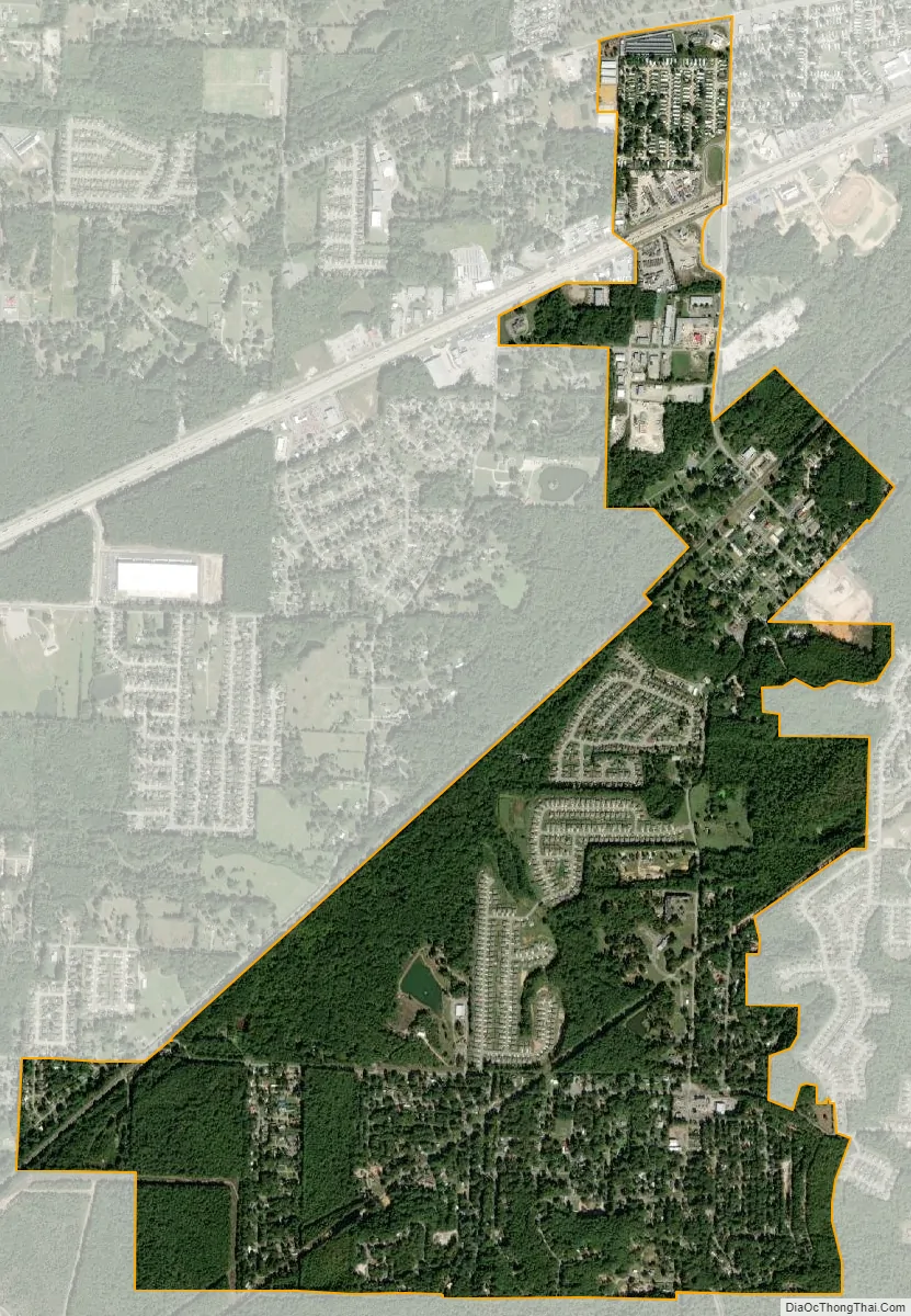
Alexander city Satellite Map
Geography
Alexander is located at 34°37′53″N 92°26′39″W / 34.63139°N 92.44417°W / 34.63139; -92.44417 (34.631508, -92.444188).
According to the United States Census Bureau, the town has a total area of 2.2 square miles (5.7 km), all land.
See also
Map of Arkansas State and its subdivision:- Arkansas
- Ashley
- Baxter
- Benton
- Boone
- Bradley
- Calhoun
- Carroll
- Chicot
- Clark
- Clay
- Cleburne
- Cleveland
- Columbia
- Conway
- Craighead
- Crawford
- Crittenden
- Cross
- Dallas
- Desha
- Drew
- Faulkner
- Franklin
- Fulton
- Garland
- Grant
- Greene
- Hempstead
- Hot Spring
- Howard
- Independence
- Izard
- Jackson
- Jefferson
- Johnson
- Lafayette
- Lawrence
- Lee
- Lincoln
- Little River
- Logan
- Lonoke
- Madison
- Marion
- Miller
- Mississippi
- Monroe
- Montgomery
- Nevada
- Newton
- Ouachita
- Perry
- Phillips
- Pike
- Poinsett
- Polk
- Pope
- Prairie
- Pulaski
- Randolph
- Saint Francis
- Saline
- Scott
- Searcy
- Sebastian
- Sevier
- Sharp
- Stone
- Union
- Van Buren
- Washington
- White
- Woodruff
- Yell
- Alabama
- Alaska
- Arizona
- Arkansas
- California
- Colorado
- Connecticut
- Delaware
- District of Columbia
- Florida
- Georgia
- Hawaii
- Idaho
- Illinois
- Indiana
- Iowa
- Kansas
- Kentucky
- Louisiana
- Maine
- Maryland
- Massachusetts
- Michigan
- Minnesota
- Mississippi
- Missouri
- Montana
- Nebraska
- Nevada
- New Hampshire
- New Jersey
- New Mexico
- New York
- North Carolina
- North Dakota
- Ohio
- Oklahoma
- Oregon
- Pennsylvania
- Rhode Island
- South Carolina
- South Dakota
- Tennessee
- Texas
- Utah
- Vermont
- Virginia
- Washington
- West Virginia
- Wisconsin
- Wyoming