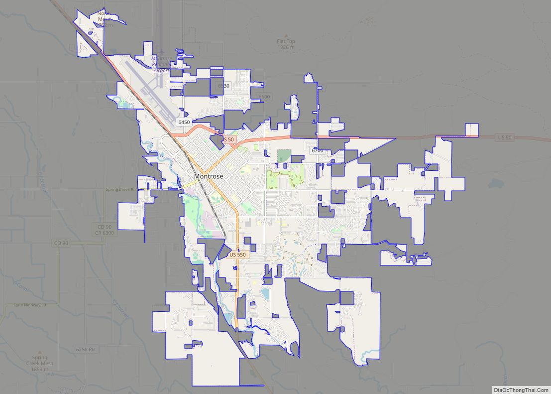
Montrose County is a county located in the U.S. state of Colorado. As of the 2020 census, the population was 42,679. The county seat is Montrose, for which the county is named.
Montrose County comprises the Montrose, CO Micropolitan Statistical Area.
| Name: | Montrose County |
|---|---|
| FIPS code: | 08-085 |
| State: | Colorado |
| Founded: | February 11, 1883 |
| Named for: | City of Montrose |
| Seat: | Montrose |
| Largest city: | Montrose |
| Total Area: | 2,243 sq mi (5,810 km²) |
| Land Area: | 2,241 sq mi (5,800 km²) |
| Total Population: | 43,168 |
| Population Density: | 19/sq mi (7/km²) |
| Time zone: | UTC−7 (Mountain) |
| Summer Time Zone (DST): | UTC−6 (MDT) |
| Website: | www.montrosecounty.net |
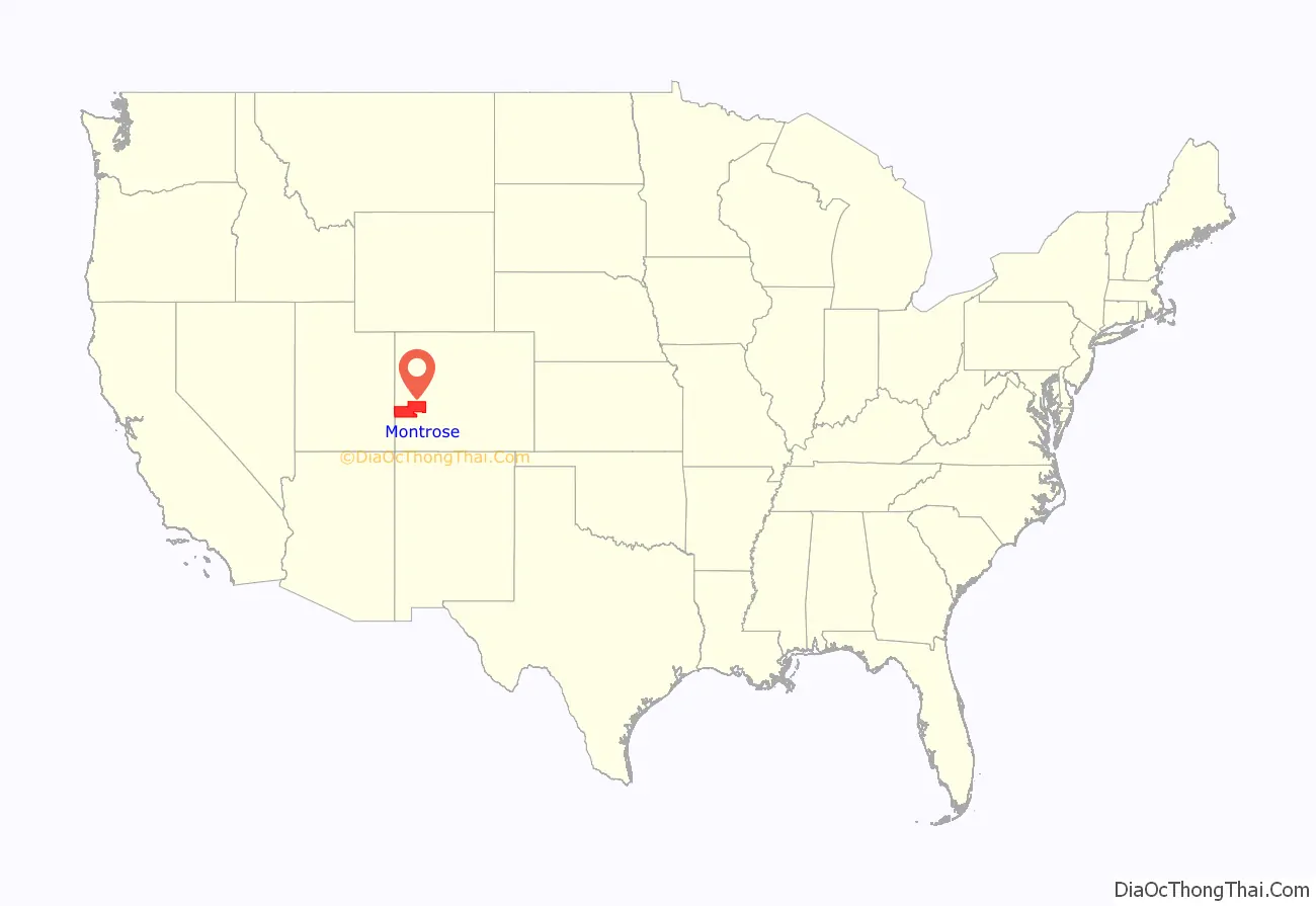
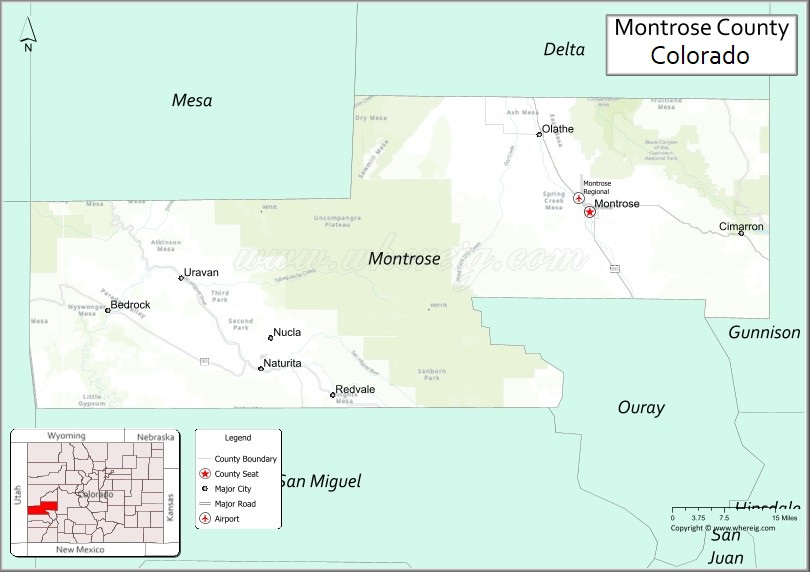
Montrose County location map. Where is Montrose County?
Montrose County Road Map
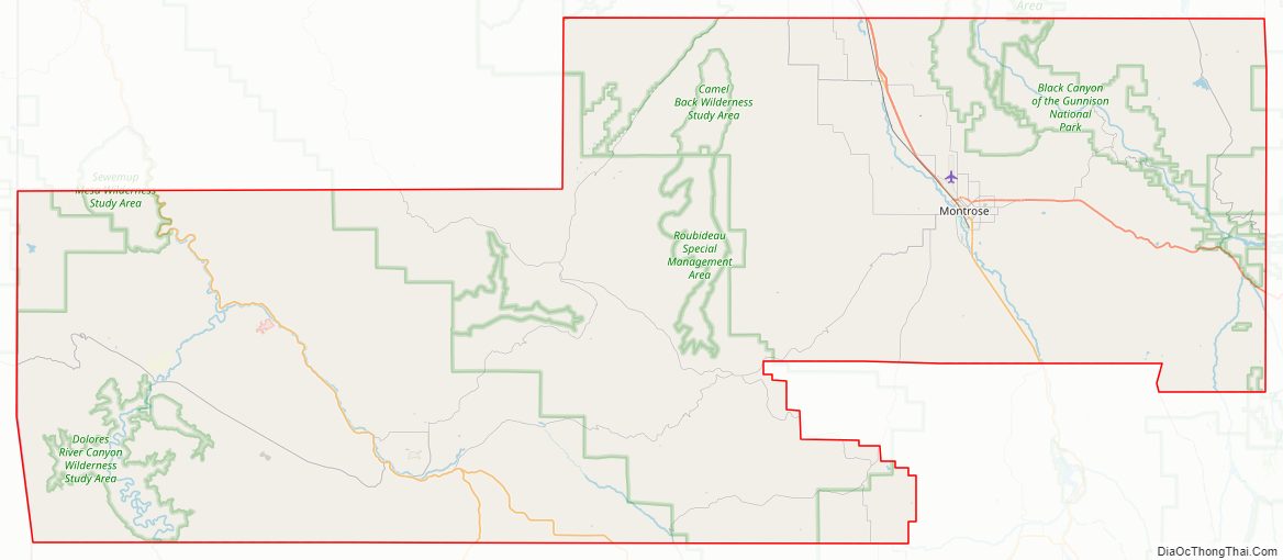
Geography
According to the U.S. Census Bureau, the county has a total area of 2,243 square miles (5,810 km), of which 2,241 square miles (5,800 km) is land and 1.9 square miles (4.9 km) (0.08%) is water.
Adjacent counties
- Mesa County – north
- Delta County – northeast
- Gunnison County – east
- Ouray County – southeast
- San Miguel County – south
- San Juan County, Utah – west
Major Highways
- U.S. Highway 50
- U.S. Highway 550
- State Highway 90
- State Highway 92
- State Highway 141
- State Highway 145
- State Highway 348
National protected areas
- Black Canyon of the Gunnison National Park
- Black Canyon of the Gunnison Wilderness
- Curecanti National Recreation Area (part)
- Dominguez-Escalante National Conservation Area (part)
- Gunnison Gorge National Conservation Area (part)
- Gunnison Gorge Wilderness
- Gunnison National Forest (part)
- Manti-La Sal National Forest (part)
- Old Spanish National Historic Trail
- Uncompahgre National Forest (part)
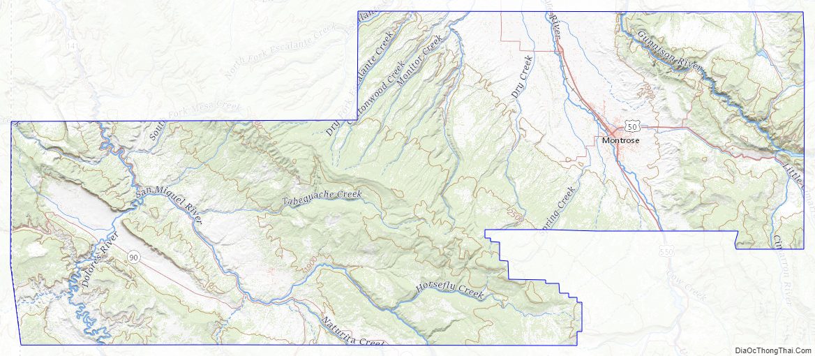
River
- Dolores River (part)
- Uncompahgre River (part)
- San Miguel River(part)
Gunnison River (part)
Trails and byways
- Great Parks Bicycle Route
- Unaweep/Tabeguache Scenic and Historic Byway
- West Elk Loop Scenic Byway
- Western Express Bicycle Route
Historical site
- Hanging Flume
- Uravan, Colorado
Montrose County Topographic Map
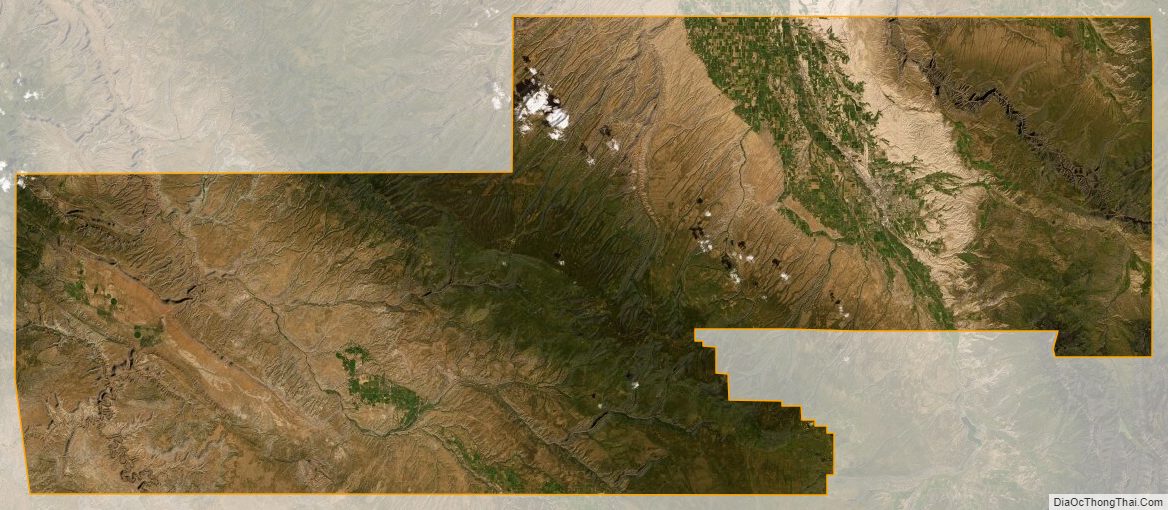
Montrose County Satellite Map
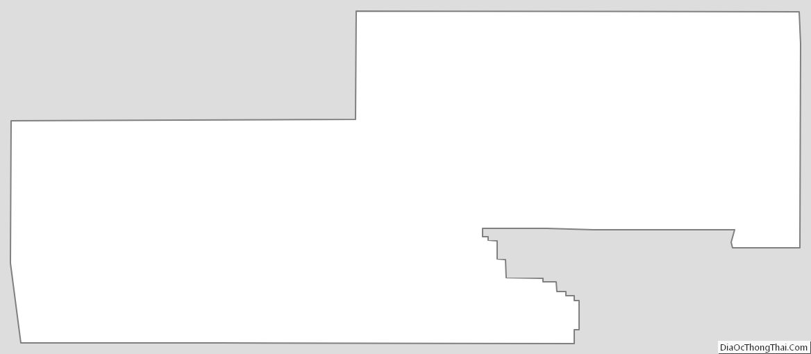
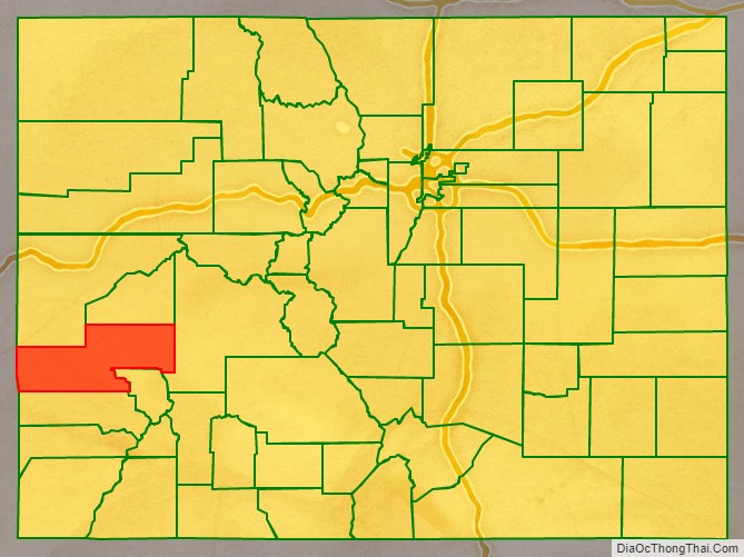
Montrose County Outline Map