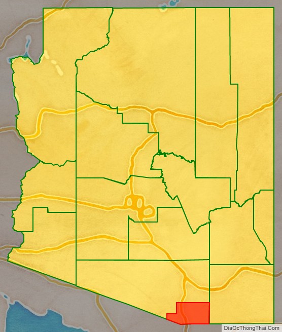
Santa Cruz is a county in southern Arizona, United States. As of the 2020 census, the population is 47,669. The county seat is Nogales. The county was established in 1899. It borders Pima County to the north and west, Cochise County to the east, and the Mexican state of Sonora to the south.
Santa Cruz County includes the Nogales, Arizona Micropolitan Statistical Area, which is also included in the Tucson-Nogales, Arizona Combined Statistical Area.
| Name: | Santa Cruz County |
|---|---|
| FIPS code: | 04-023 |
| State: | Arizona |
| Founded: | March 15, 1899 |
| Named for: | Santa Cruz River |
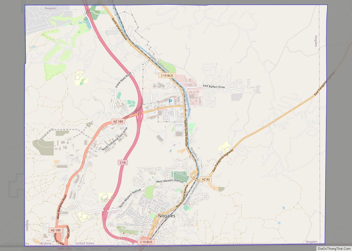
| Seat: | Nogales |
| Largest city: | Nogales |
| Total Area: | 1,238 sq mi (3,210 km²) |
| Land Area: | 1,237 sq mi (3,200 km²) |
| Total Population: | 47,669 |
| Population Density: | 39/sq mi (15/km²) |
| Time zone: | UTC−7 (Mountain) |
| Website: | www.co.santa-cruz.az.us |
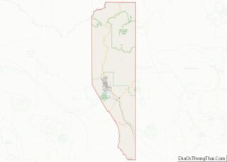
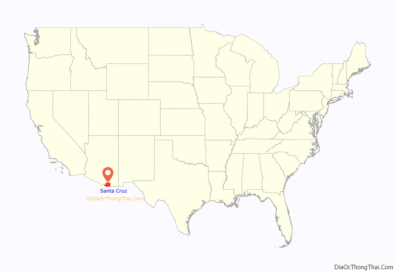
Santa Cruz County location map. Where is Santa Cruz County?
History
Santa Cruz County, formed on March 15, 1899, out of what was then Pima County, is named after the Santa Cruz River. The river originates in the Canelo Hills in the eastern portion of the county, crosses south into Mexico near the community of Santa Cruz, Sonora and then bends northwards returning into the United States (and Santa Cruz County) east of Nogales.
Father Eusebio Kino, an Italian explorer and missionary in the service of the Spanish Empire, named the Santa Cruz River–”holy cross” in Spanish–in the 1690s. In addition, Kino founded several missions to evangelize the different O’odham peoples living along the banks of the Santa Cruz River, including Missions San Cayetano del Tumacácori (1691) and San Gabriel de Guevavi (1691), as well as Los Reyes de Sonoita (1692) near Sonoita Creek. Along the river, but outside the boundaries of Santa Cruz County, Kino also founded Mission San Xavier del Bac (1692) near Tucson, Arizona, and Mission Santa Maria del Pilar (1693) in what is now Santa Cruz, Mexico. Kino’s San Cayetano and San Gabriel missions were destroyed in the O’odham peoples’ 1751 Pima Revolt and rebuilt as Missions Los Santos Ángeles de Guevavi (1751), San José de Tumacácori (1753), and San Cayetano de Calabazas (1756). The ruins of all three of these later missions are now protected by Tumacácori National Historical Park. Disease, warfare, overwork, and changes in land ownership during Spanish colonization led to the demographic decline of the O’odham peoples of Santa Cruz County.
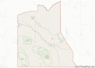
Santa Cruz County Road Map
Geography
According to the United States Census Bureau, the county has a total area of 1,238 square miles (3,210 km), of which 1,237 square miles (3,200 km) is land and 1.2 square miles (3.1 km) (0.1%) is water. It is the smallest county by area in Arizona.
Adjacent counties and municipalities
- Pima County–west, north
- Cochise County–east
- Nogales, Sonora, Mexico–south
- Santa Cruz, Sonora, Mexico–south
- Sáric, Sonora, Mexico–south
Major highways
- Interstate 19
- State Route 82
- State Route 83
National protected areas
- Coronado National Forest (part)
- Las Cienegas National Conservation Area (part)
- Tumacácori National Historical Park
Border crossings
There are three crossings of the U.S.-Mexico border in Nogales: the Dennis DeConcini Port of Entry (for vehicular and pedestrian traffic); the Nogales-Mariposa Port of Entry (in the western part of the city, for vehicular and pedestrian traffic); and the Morley Gate Port of Entry (for pedestrians only). Lochiel, a former mining and ranching border town, formerly had a border crossing, but the U.S. government shut the port of entry down in 1983.
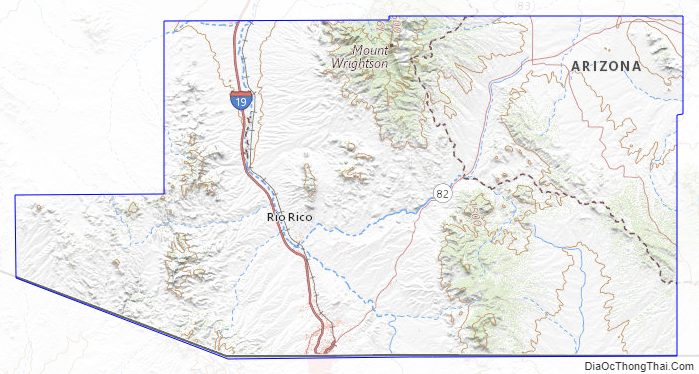
Santa Cruz County Topographic Map
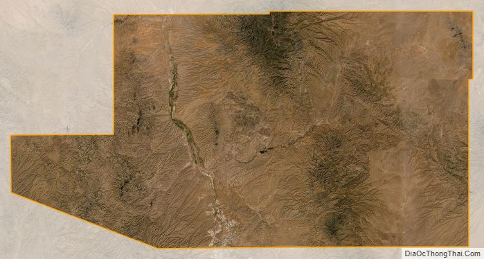
Santa Cruz County Satellite Map
Santa Cruz County Outline Map