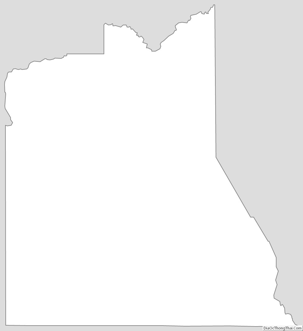
| Name: | Graham County |
|---|---|
| FIPS code: | 04-009 |
| State: | Arizona |
| Founded: | March 10, 1881 |
| Named for: | Mount Graham |
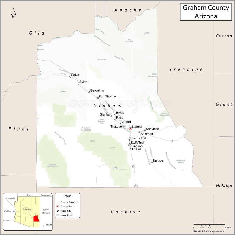
| Seat: | Safford |
| Largest city: | Safford |
| Total Area: | 4,641 sq mi (12,020 km²) |
| Land Area: | 4,623 sq mi (11,970 km²) |
| Total Population: | 38,533 |
| Population Density: | 8.3/sq mi (3.2/km²) |
| Time zone: | UTC−7 (Mountain) |
| Website: | www.graham.az.gov |
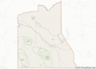
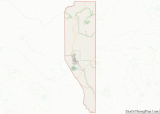
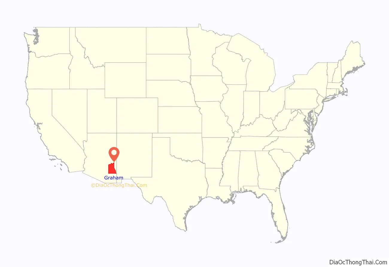
Graham County location map. Where is Graham County?
History
Joseph Knight Rogers, an early settler in the area, and a member of the Arizona Territorial Legislature, is known as the father of Graham County. He introduced the bill in the territorial legislature creating Graham County. Graham County was created from southern Apache County and eastern Pima County on March 10, 1881. Initially, the county seat was located in the city of Safford but was later moved to Solomonville in 1883. This change was undone in 1915, returning the county seat to Safford.
Graham County is named after the mountain by the same name which was named after Lt. Col James Duncan Graham, and was the first Arizona county to break the tradition of naming counties for Native Americans.
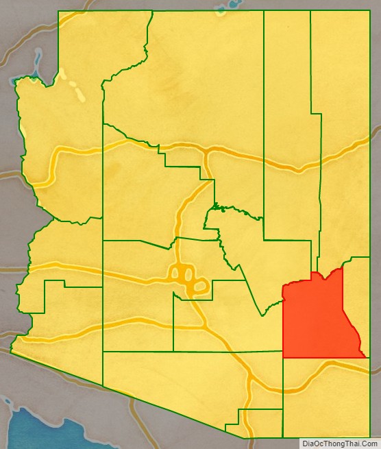
Graham County Road Map
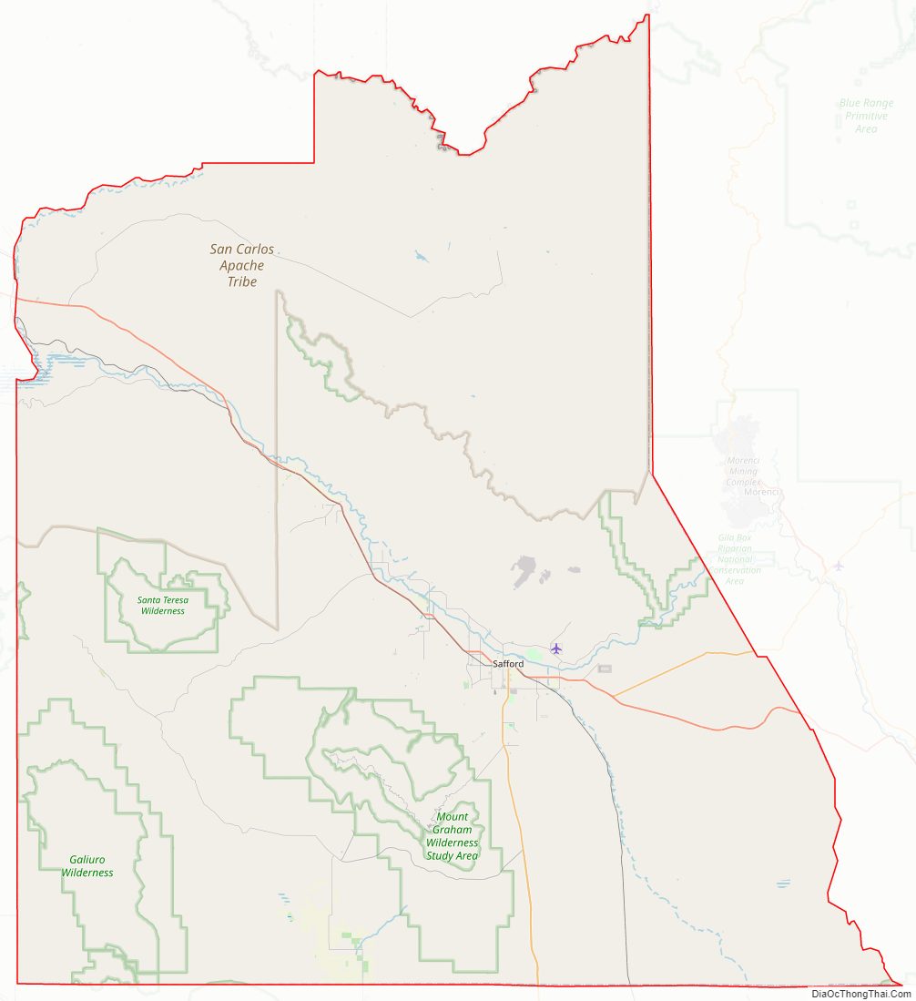
Geography
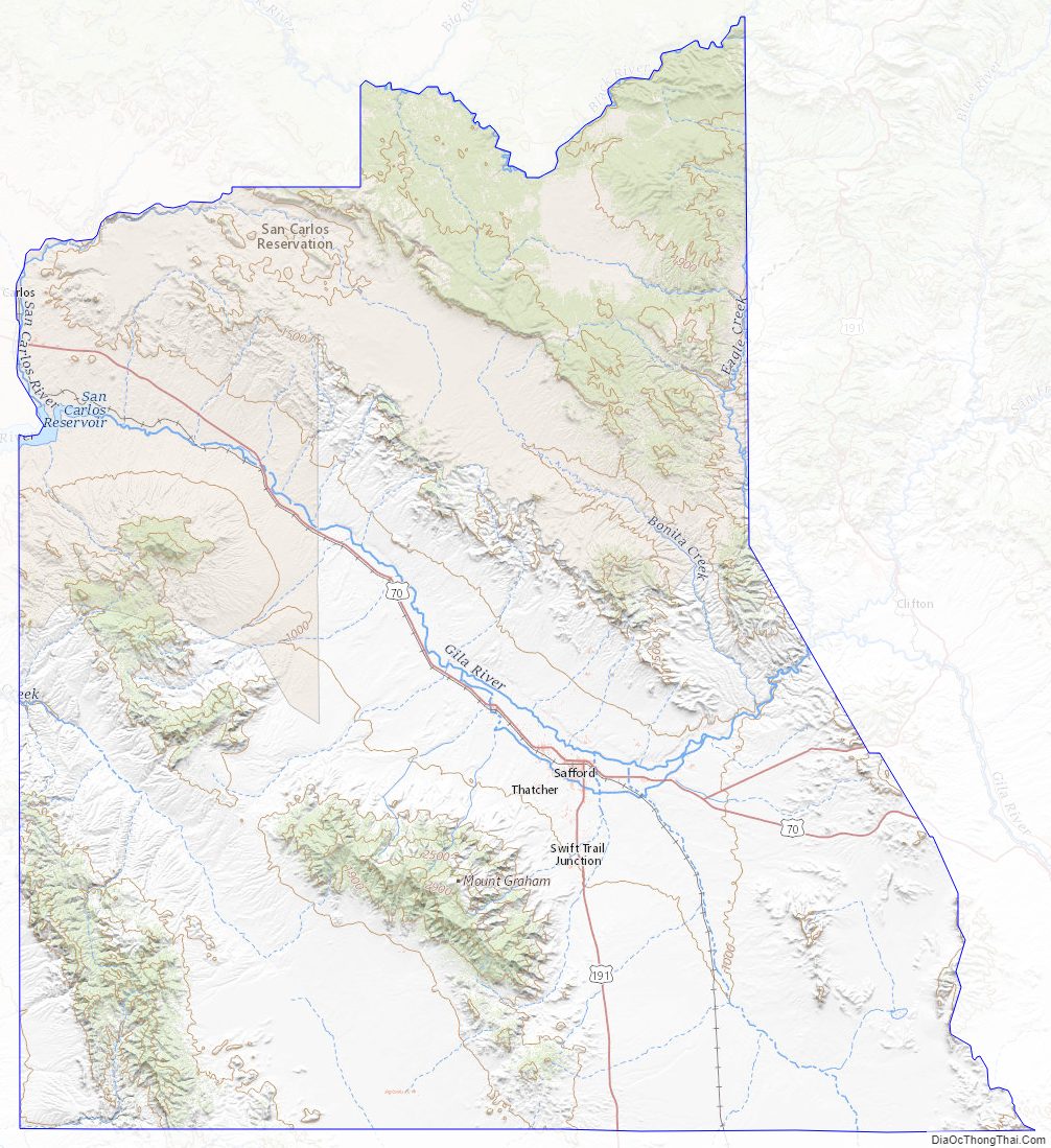
According to the United States Census Bureau, the county has a total area of 4,641 square miles (12,020 km), of which 4,623 square miles (11,970 km) is land and 19 square miles (49 km) (0.4%) is water. The county has various mountain peaks including Mount Graham, which is the highest mountain in the Pinaleno Mountains.
Adjacent counties
- Cochise County — south
- Pima County — southwest
- Pinal County — west
- Gila County — northwest
- Navajo County — north
- Apache County — north
- Greenlee County — east
National protected areas
- Coronado National Forest (part)
- Gila Box Riparian National Conservation Area (part)
Major highways
- U.S. Route 70
- U.S. Route 191
- State Route 266
- State Route 366
Graham County Topographic Map
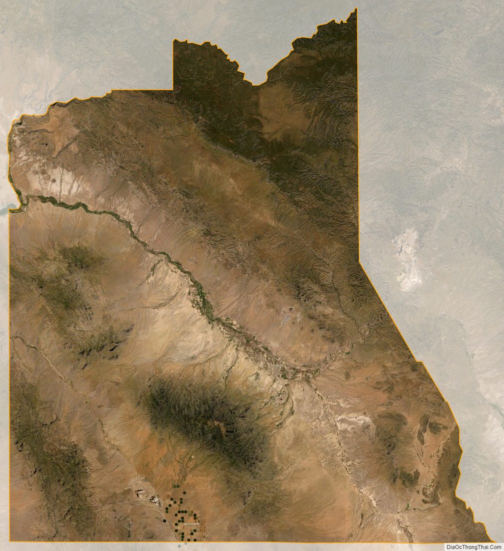
Graham County Satellite Map
Graham County Outline Map