Nogales (Spanish for ‘walnut trees’; Spanish: [noˈɣales]; English: /nəˈɡɑːlɪs/ or /noʊˈɡɑːleɪs/) is a city in Santa Cruz County, Arizona. The population was 20,837 at the 2010 census and estimated 20,103 in 2019. Nogales forms part of the larger Tucson–Nogales combined statistical area, with a total population of 1,027,683 as of the 2010 Census. The city is the county seat of Santa Cruz County.
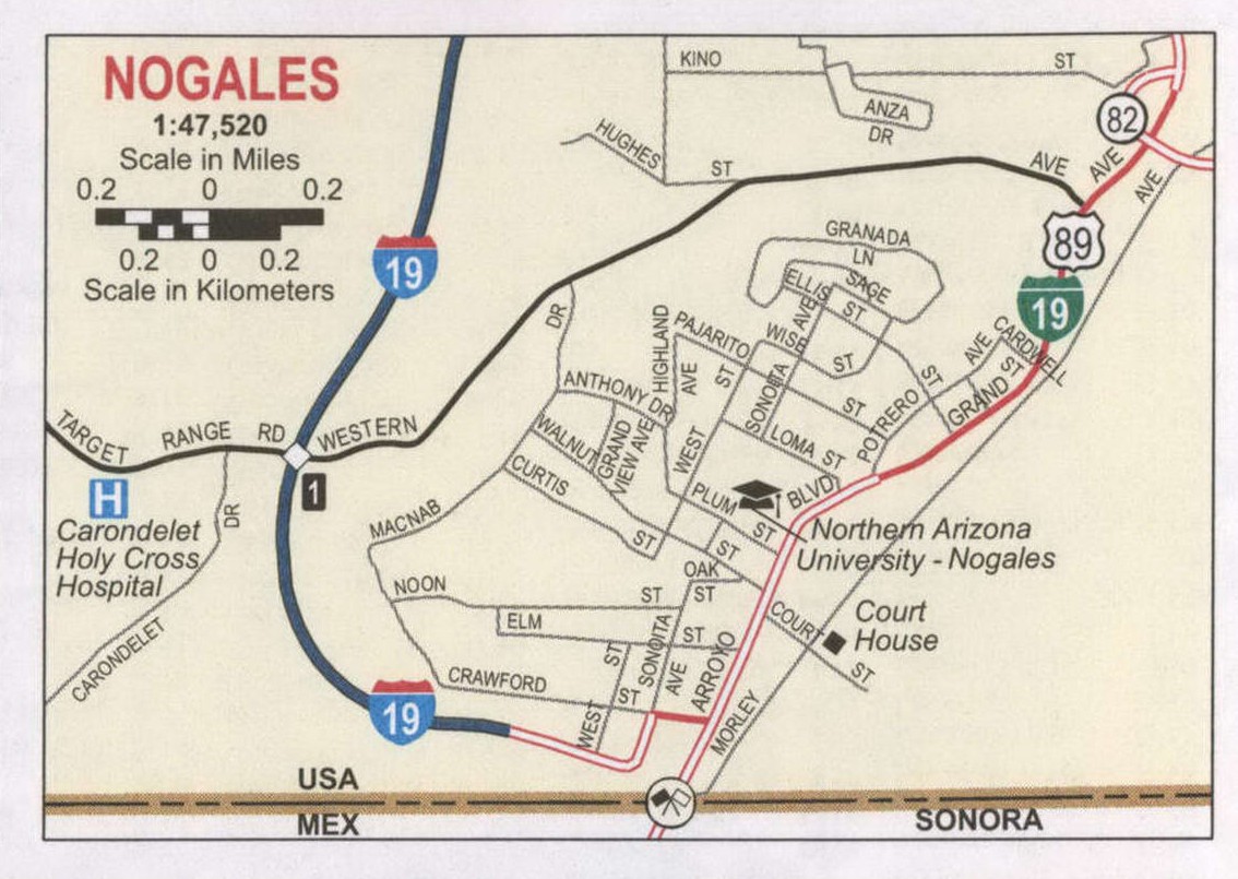
Nogales forms Arizona’s largest transborder agglomeration with its adjacent, much larger twin Nogales, Sonora, across the Mexican border. The southern terminus of Interstate 19 is located in Nogales at the U.S.–Mexico border; the highway continues south into Mexico as Mexico Federal Highway 15. The highways meeting in Nogales are a major road intersection in the CANAMEX Corridor, connecting Canada, the United States, and Mexico. Nogales also is the beginning of the Arizona Sun Corridor, an economically important trade region stretching from Nogales to Prescott, including the Tucson and Phoenix metropolitan areas.
Nogales is home to four international ports of entry, including the Morley Pedestrian Port of Entry, Dennis Deconcini Pedestrian and Passenger Vehicle Port of Entry, Nogales International Airport, and the Mariposa Port of Entry. The Nogales-Mariposa Port of Entry has twelve passenger vehicle inspection lanes and eight commercial inspection lanes.
Due to its location on the border and its major ports of entry, Nogales funnels an estimated $30 billion worth of international trade into Arizona and the United States, per year, in fresh produce and manufactured goods from Mexico and the world through the deep sea port in Guaymas, Sonora, Mexico. This trade helps to support tens of thousands of jobs and the overall economies in Ambos Nogales and throughout the American state of Arizona and the Mexican state of Sonora.
The town is named for the black walnut trees which once grew abundantly in the mountain pass between the cities of Nogales, Arizona, and Nogales, Sonora, and can still be found around the town.
| Name: | Nogales city |
|---|---|
| LSAD Code: | 25 |
| LSAD Description: | city (suffix) |
| State: | Arizona |
| County: | Santa Cruz County |
| Incorporated: | 1893 |
| Elevation: | 3,829 ft (1,167 m) |
| Total Area: | 20.83 sq mi (53.96 km²) |
| Land Area: | 20.82 sq mi (53.92 km²) |
| Water Area: | 0.01 sq mi (0.04 km²) |
| Total Population: | 19,770 |
| Population Density: | 949.57/sq mi (366.63/km²) |
| ZIP code: | 85621 |
| Area code: | 520 |
| FIPS code: | 0449640 |
| GNISfeature ID: | 32336 |
| Website: | www.nogalesaz.gov |
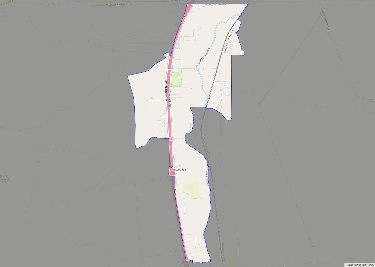
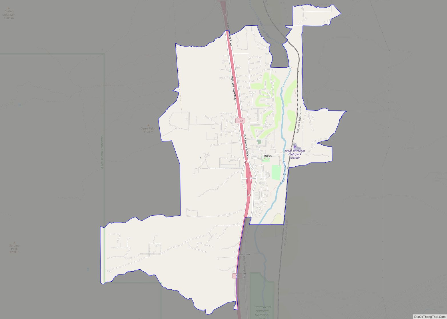
Online Interactive Map
Click on ![]() to view map in "full screen" mode.
to view map in "full screen" mode.
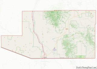
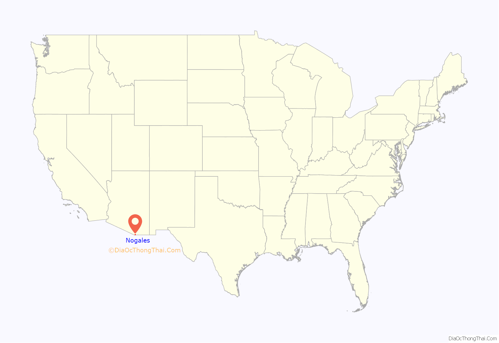
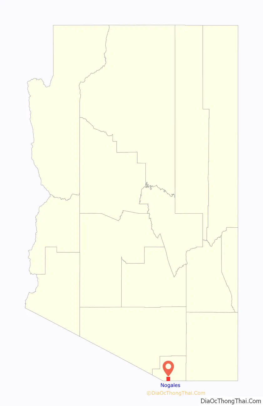
Nogales location map. Where is Nogales city?
History
The name Nogales is derived from the Spanish word for ‘walnut’ or ‘walnut tree’. It refers to the large stands of walnut trees that once stood in the mountain pass where Nogales is located.
Nogales was at the beginning of the 1775–1776 Juan Bautista de Anza Expedition as it entered the present-day U.S. from New Spain, and the town is now on the Juan Bautista de Anza National Historic Trail. On the second floor of the 1904 Nogales Courthouse is a small room dedicated to the 1775–1776 Anza Expedition.
In 1841, a land grant from the Mexican government to the Elías family established Los Nogales de Elías. Following the Gadsden purchase in 1853, Nogales became a part of the United States of America. In 1880, Russian-Jewish immigrants Isaac and Jacob Isaacson homesteaded the trading post of Isaacson, Arizona, at present-day Nogales. The U.S. Postal Service opened the Isaacson post office but renamed it as Nogales in 1883.
In 1915, according to historian David Leighton, Sonora Gov. Jose M. Maytorena ordered the construction of an 11-wire fence, separating Nogales, Sonora from Nogales, Arizona, but it was taken down four months later.
On August 27, 1918, a battle between United States Army forces and Mexican militia – mostly civilian in composition – took place. Culminating as the result of a decade’s worth of tensions originating from the Mexican Revolution and earlier battles in Nogales along the border in 1913 and 1915, the main consequence of the 1918 violence saw the building of the first permanent border wall between Nogales, Arizona, and Nogales, Sonora, along the previously unobstructed boundary line on International Street.
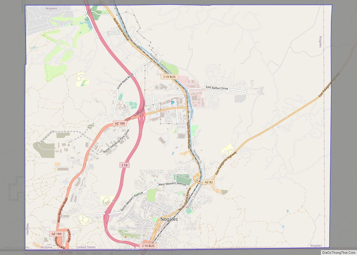
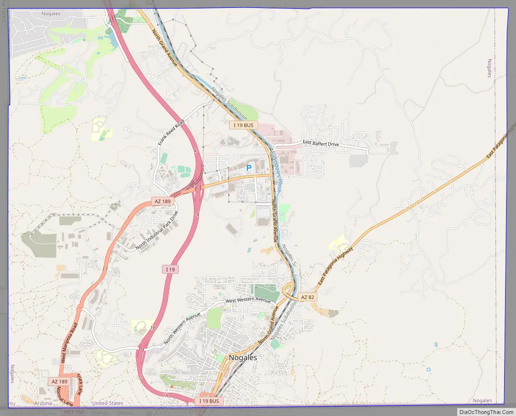
Nogales Road Map
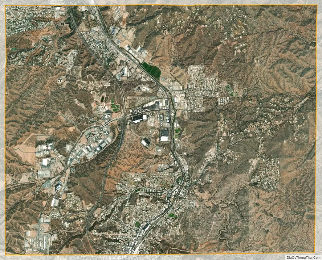
Nogales city Satellite Map
Geography
According to the United States Census Bureau, the city has a total area of 20.8 sq mi (54 km), all land.
The city is at an elevation of 3,829 ft (1,167 m).
Climate
Nogales has a semi-arid steppe climate (Köppen BSh/BSk), which is less hot and more rainy than a typical arid climate such as Phoenix. In the winter months, Nogales averages daily maximum temperatures in the mid to upper 60s, with December averaging daily highs of around 65 °F (18 °C). Lows typically settle just above the freezing mark (32 °F or 0 °C) on a majority of nights, but it is not uncommon to see temperatures tumble below 25 °F (−4 °C) on some winter nights.
On the other hand, in the summer months, highs average between 90 and 100 °F (32 and 38 °C), with the month of June being the hottest with an average daytime high of 97 °F (36 °C). Nighttime lows for the summer months remain in the lower to mid 60s for the duration of the season. The Arizona Monsoon generally runs through July and August, and these months typically see eight inches or more of combined rainfall, which brings the average annual precipitation for Nogales to about 15 in (380 mm). Some monsoon season storms are capable of producing several inches of rain in a short amount of time, creating flash flood hazards.
At the Nogales 6 N station, the all-time highest recorded temperature was 112 °F (44 °C), which was reached on June 26, 1990. The lowest recorded temperature was −4 °F (−20 °C) on December 8, 1978.
See also
Map of Arizona State and its subdivision: Map of other states:- Alabama
- Alaska
- Arizona
- Arkansas
- California
- Colorado
- Connecticut
- Delaware
- District of Columbia
- Florida
- Georgia
- Hawaii
- Idaho
- Illinois
- Indiana
- Iowa
- Kansas
- Kentucky
- Louisiana
- Maine
- Maryland
- Massachusetts
- Michigan
- Minnesota
- Mississippi
- Missouri
- Montana
- Nebraska
- Nevada
- New Hampshire
- New Jersey
- New Mexico
- New York
- North Carolina
- North Dakota
- Ohio
- Oklahoma
- Oregon
- Pennsylvania
- Rhode Island
- South Carolina
- South Dakota
- Tennessee
- Texas
- Utah
- Vermont
- Virginia
- Washington
- West Virginia
- Wisconsin
- Wyoming