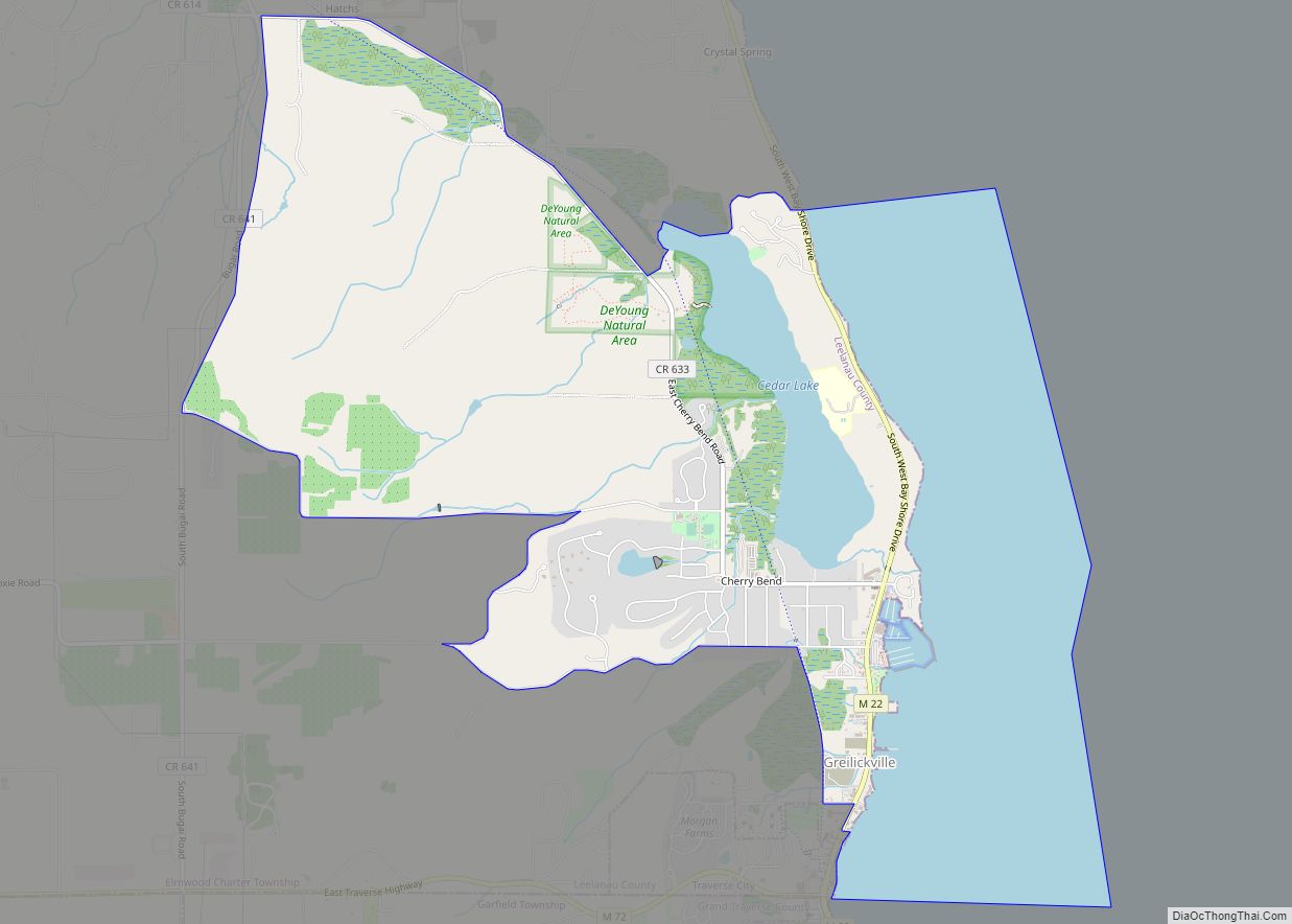
Leelanau County (/ˈliːlənɔː/ LEE-lə-naw) is a county located in the U.S. state of Michigan. As of the 2020 Census, the population was 22,301. Since 2008, the county seat has been located within Suttons Bay Township, one mile east of the unincorporated village of Lake Leelanau. Before 2008, Leelanau County’s seat was Leland. Leelanau County is included in the Traverse City Micropolitan Statistical Area of Northern Michigan. The largest settlement in Leelanau County by population is Greilickville, itself a suburb of Traverse City.
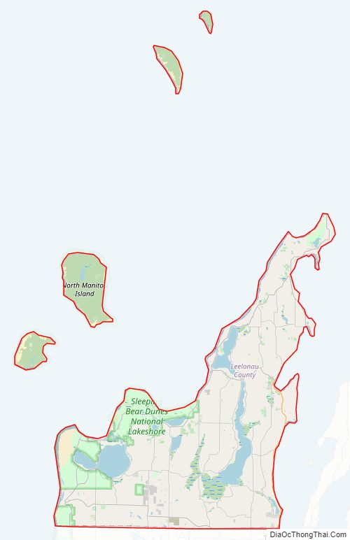
Leelanau County is coterminous with the Leelanau Peninsula, a roughly triangular-shaped peninsula that extends about 30 miles (50 km) off of Michigan’s Lower Peninsula into Lake Michigan. East of Leelanau County is Grand Traverse Bay, a bay of Lake Michigan.
In 2011, the Sleeping Bear Dunes National Lakeshore, located in the county, won the title of “Most Beautiful Place in America” in a poll by morning news show Good Morning America.
| Name: | Leelanau County |
|---|---|
| FIPS code: | 26-089 |
| State: | Michigan |
| Founded: | 1840 |
| Named for: | Leelanau Peninsula |
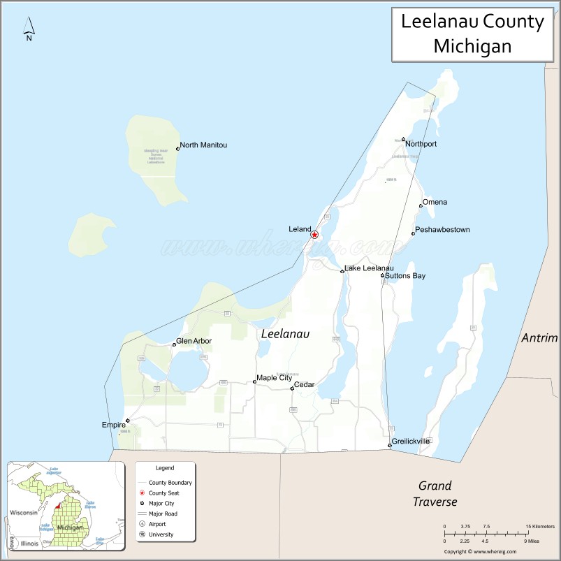
| Seat: | Suttons Bay Township |
| Total Area: | 2,532 sq mi (6,560 km²) |
| Land Area: | 347 sq mi (900 km²) |
| Total Population: | 22,301 |
| Population Density: | 63/sq mi (24/km²) |
| Time zone: | UTC−5 (Eastern) |
| Summer Time Zone (DST): | UTC−4 (EDT) |
| Website: | www.leelanau.gov |
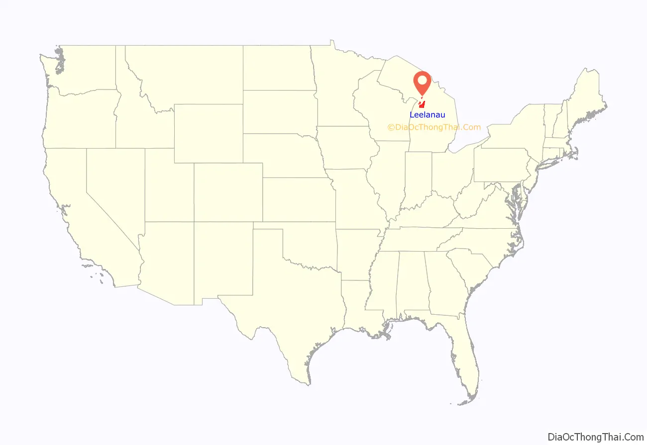
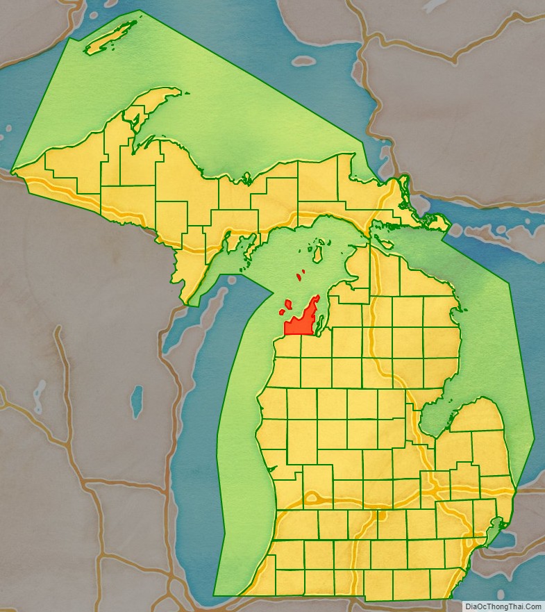
Leelanau County location map. Where is Leelanau County?
History
Leelanau County was separated as an unorganized county in 1840 by the Michigan Legislature. In 1851, it was attached the Grand Traverse County for governmental purposes, and was temporarily given the name “Leelanau Township”. In 1863, Leelanau County was organized in its own right. The same year, the southern portion of Leelanau County was separated as Benzie County, and was subsequently attached to Grand Traverse County until 1869.
Sleeping Bear Dunes National Lakeshore was established in 1970, protecting the much of the natural scenery of the area at the federal level.
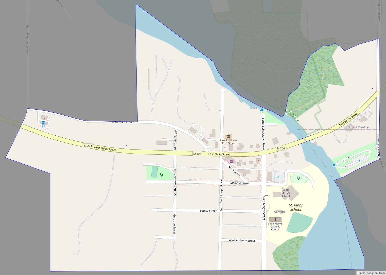
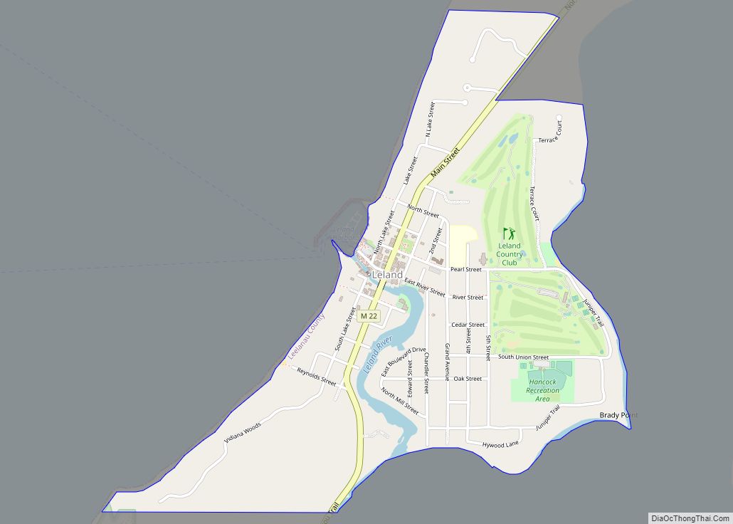
In 2008, the county seat moved from Leland to a site in Suttons Bay Township, near the town of Lake Leelanau.
Leelanau County Road Map
Geography
According to the U.S. Census Bureau, the county has a total area of 2,532 square miles (6,560 km), of which 347 square miles (900 km) is land and 2,185 square miles (5,660 km) (86%) is water.
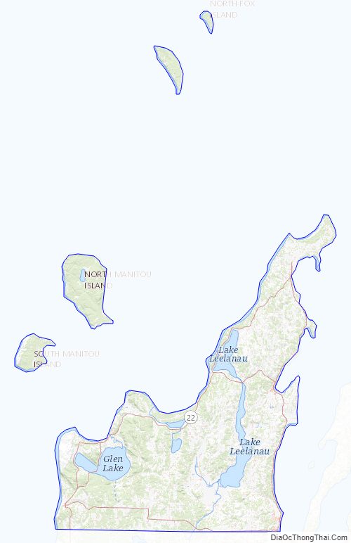
Leelanau County comprises the entire Leelanau Peninsula, a roughly triangular peninsula that extends about 30 miles (50 km) from the western side of the Lower Peninsula of Michigan into Lake Michigan. The peninsula forms the western shore of the Grand Traverse Bay. At its base, the peninsula is about 20 miles (30 km) wide. Leelanau County is one of a handful of counties in the United States that is entirely peninsular, a list also including Huron County elsewhere in Michigan, nearby Door County in Wisconsin, and San Francisco in California.
The county has the second-highest proportion of water area of any county in the United States, behind only Keweenaw County, Michigan. Lake Leelanau is the county’s largest body of inland water, empties into Lake Michigan through the Leland River. Glen Lake, located within the boundaries of Sleeping Bear Dunes National Lakeshore, is considered one of the most beautiful lakes in the world. A substantial portion of Sleeping Bear Dunes National Lakeshore lies within the county’s borders, including North Manitou and South Manitou Islands. Leelanau has been party to substantial efforts to protect itself from growth, and to foster a nature conservancy.
Extreme southeastern Leelanau County, specifically portions of Elmwood Township, are urbanized due to their proximity to Traverse City, which itself extends partially into the county. Traverse City is the largest city in Northern Michigan by population.
Adjacent counties
By land
- Grand Traverse County (southeast)
- Benzie County (southwest)
By water
- Schoolcraft County (north)
- Charlevoix County (northeast)
- Antrim County (east)
- Door County, Wisconsin (west, Central Time Zone border)
- Delta County (northwest)
Leelanau County Topographic Map
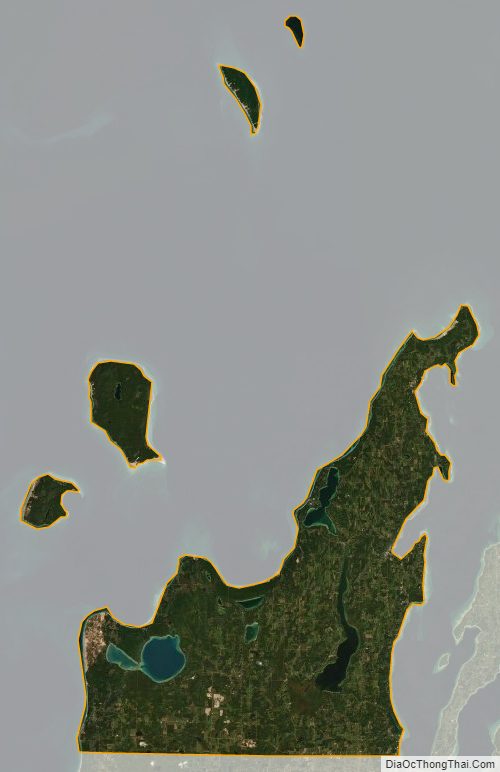
Leelanau County Satellite Map
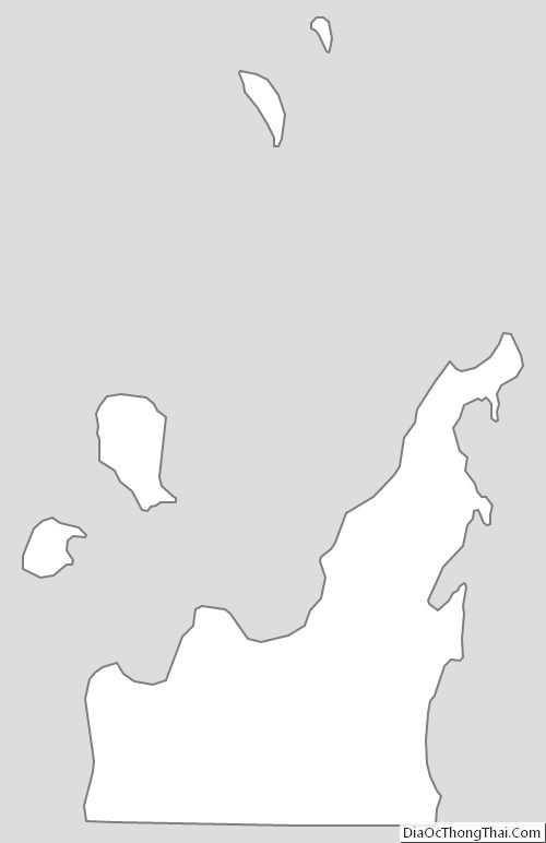
Leelanau County Outline Map