Manistique (/mænɪstik/ man-iss-TEEK) is the only city and county seat of Schoolcraft County in the U.S. state of Michigan. As of the 2020 census, the city population was 2,828.
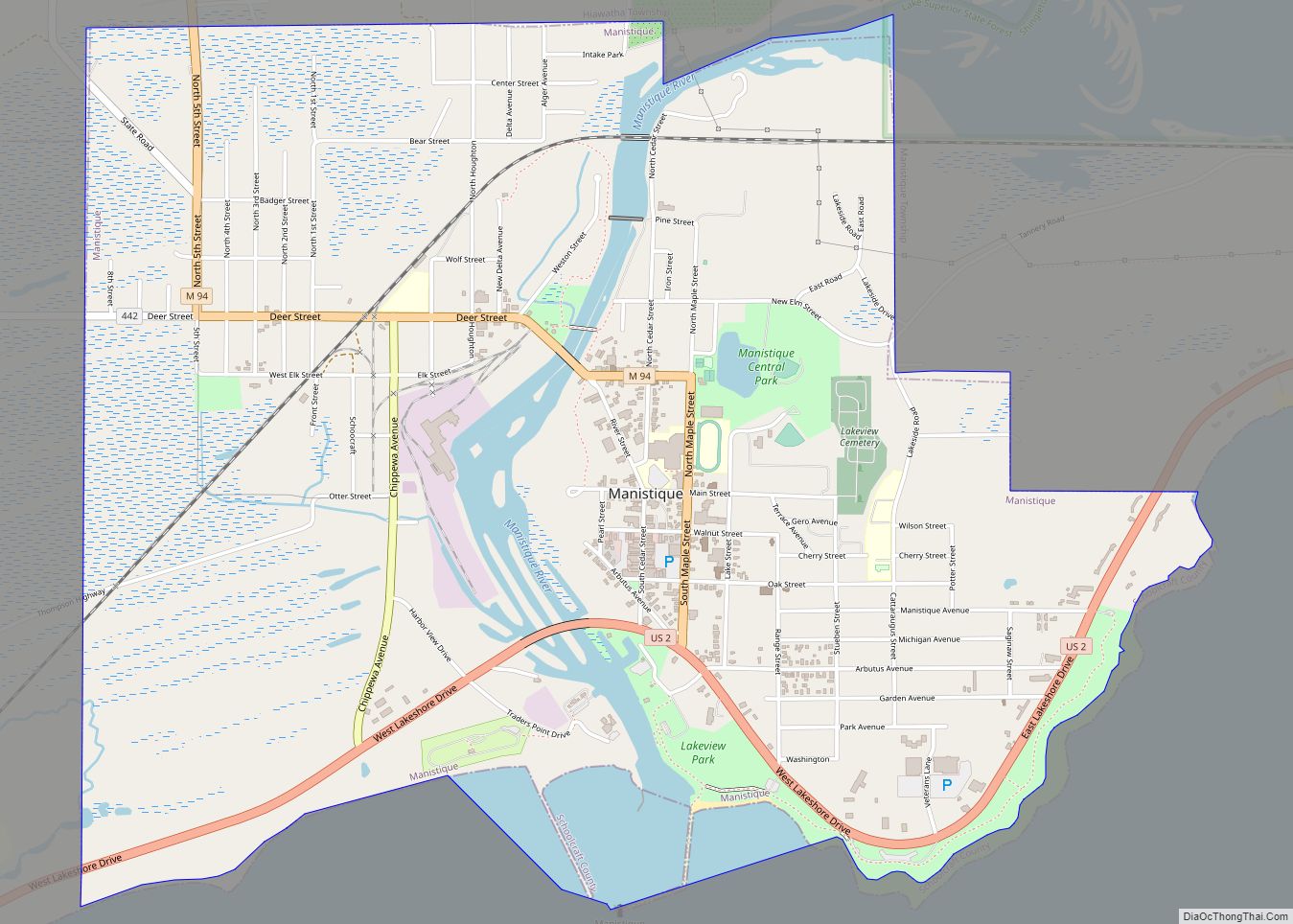
The city borders the adjacent Manistique Township, but the two are administered independently. The city lies on the north shore of Lake Michigan at the mouth of the Manistique River, which forms a natural harbor that has been improved with breakwaters, dredging, and the Manistique East Breakwater Light. The city is named after the river. The economy depends heavily on tourism from Lake Michigan, as well as nearby Indian Lake State Park and Palms Book State Park.
| Name: | Manistique city |
|---|---|
| LSAD Code: | 25 |
| LSAD Description: | city (suffix) |
| State: | Michigan |
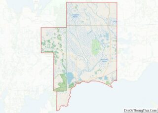
| County: | Schoolcraft County |
| Incorporated: | 1883 (village) 1901 (city) |
| Elevation: | 600 ft (183 m) |
| Total Area: | 3.52 sq mi (9.11 km²) |
| Land Area: | 3.21 sq mi (8.31 km²) |
| Water Area: | 0.31 sq mi (0.80 km²) |
| Total Population: | 2,828 |
| Population Density: | 881.27/sq mi (340.24/km²) |
| Area code: | 906 |
| FIPS code: | 2650760 |
| GNISfeature ID: | 1620685 |
Online Interactive Map
Click on ![]() to view map in "full screen" mode.
to view map in "full screen" mode.
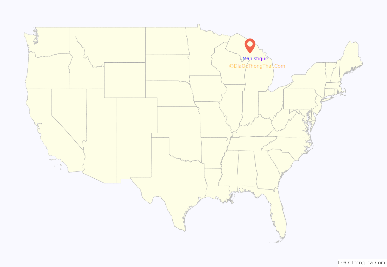
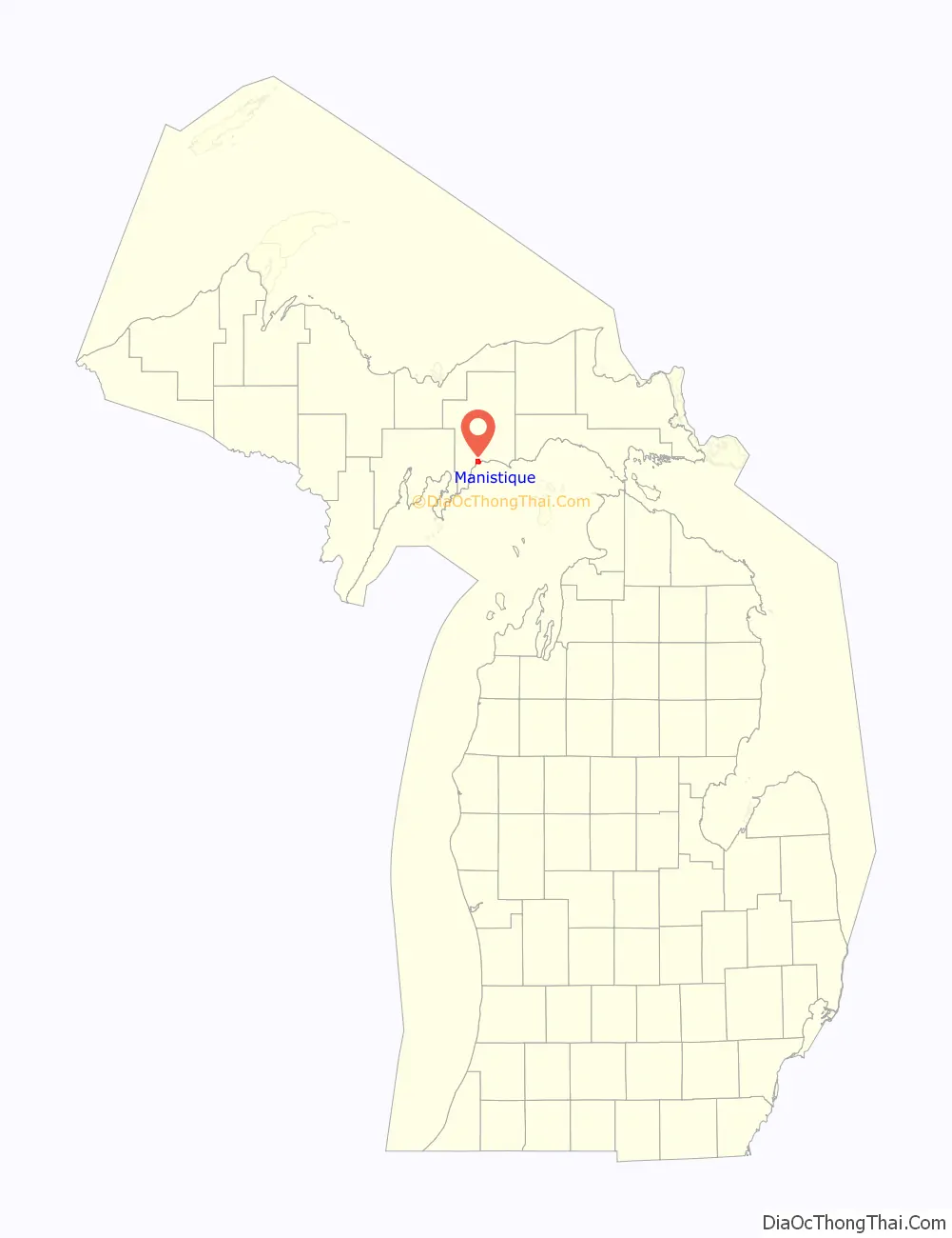
Manistique location map. Where is Manistique city?
History
Originally named Eastport, Manistique replaced Onota as the county seat. Eastport was the name of the post office, but was not used for the community. Manistique was incorporated as a village in 1883 and as a city in 1901 by the state legislature. With the river originally spelled Monistique, a spelling error in the city charter led to its current spelling.
Nickname
Manistique is nicknamed “The Emerald City.” It is believed to be named for the emerald green waters of the nearby Kitch-iti-kipi spring, the largest spring in the state of Michigan. The Manistique Area Schools athletic teams are referred to as the “Emeralds.” Several local businesses include “Emerald City” in their names.
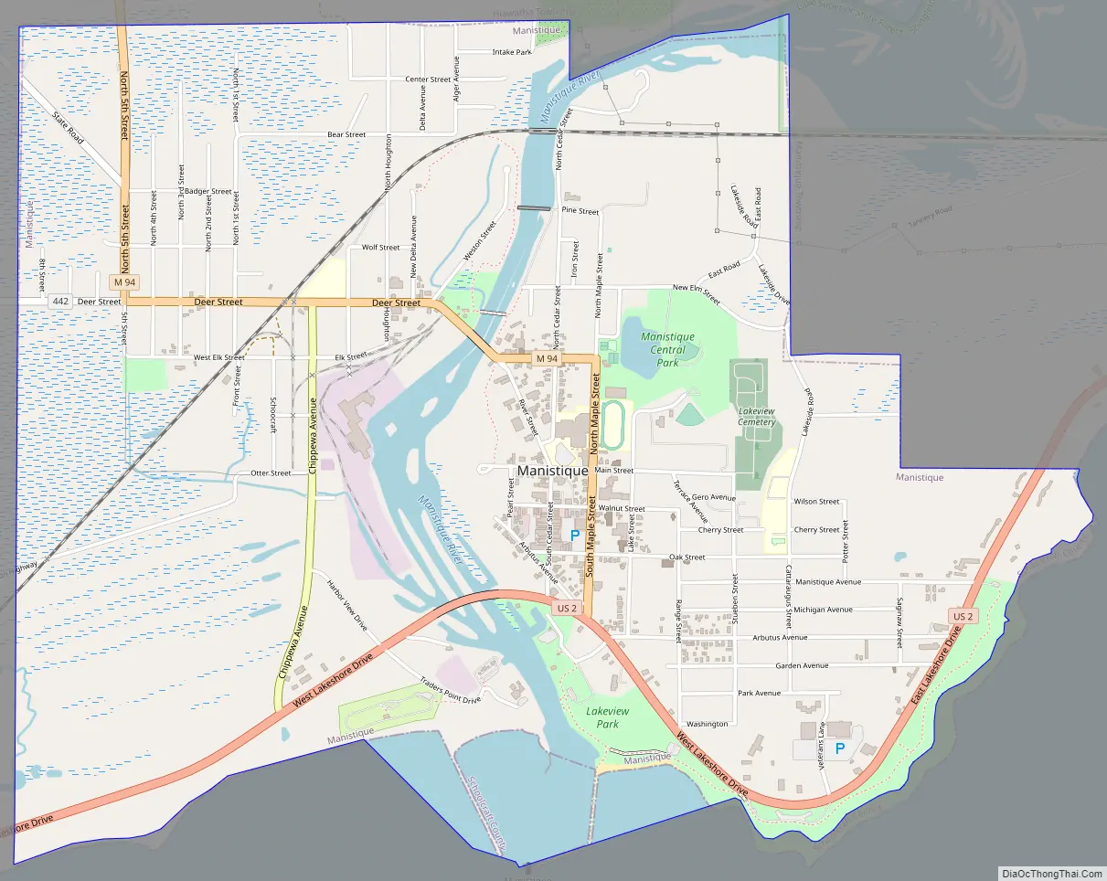
Manistique Road Map
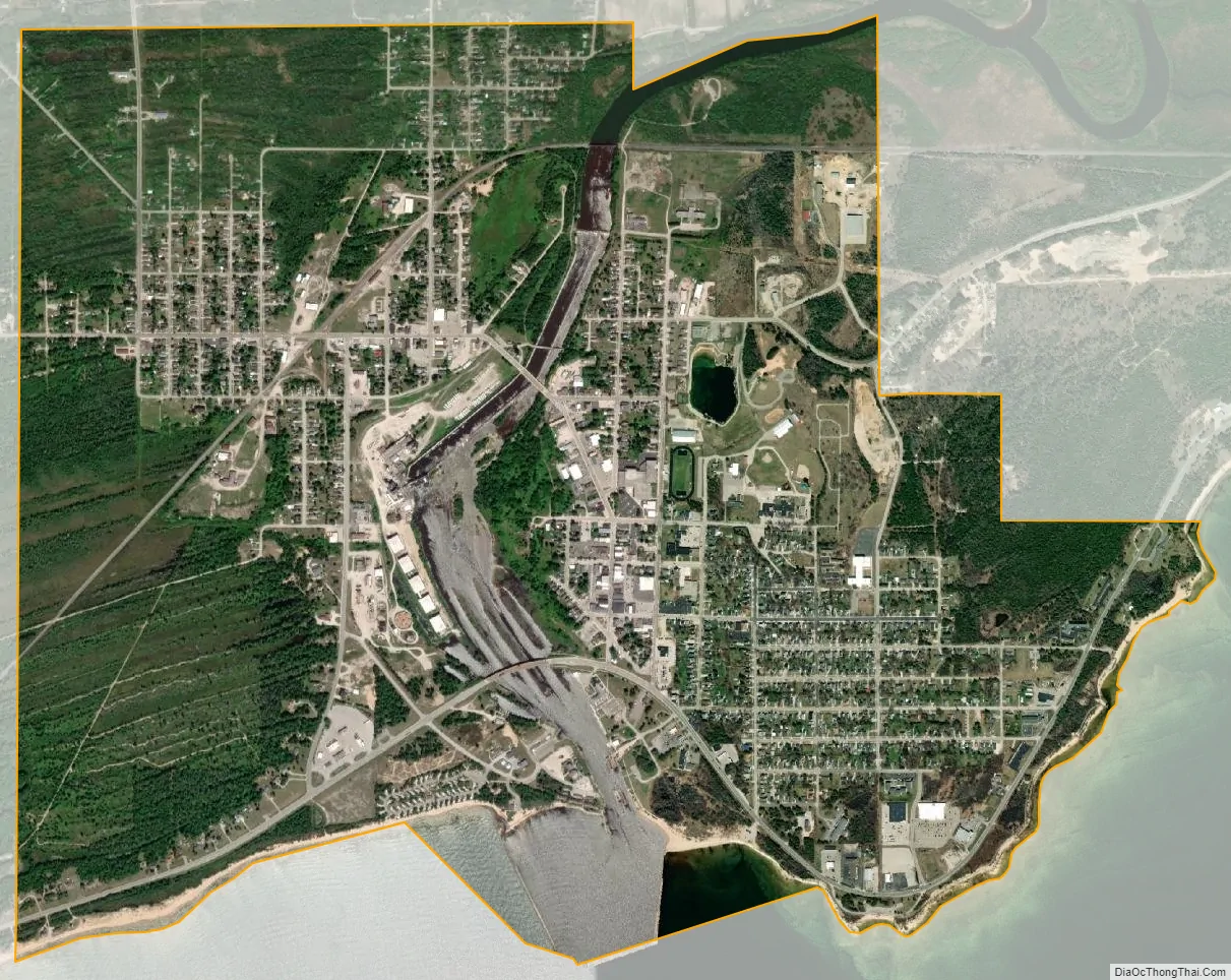
Manistique city Satellite Map
Geography
According to the United States Census Bureau, the city has a total area of 3.51 square miles (9.09 km), of which 3.19 square miles (8.26 km) is land and 0.32 square miles (0.83 km) is water.
Climate
This climatic region is typified by large seasonal temperature differences, with warm to hot (and often humid) summers and cold (sometimes severely cold) winters. According to the Köppen Climate Classification system, Manistique has a humid continental climate, abbreviated “Dfb” on climate maps.
See also
Map of Michigan State and its subdivision:- Alcona
- Alger
- Allegan
- Alpena
- Antrim
- Arenac
- Baraga
- Barry
- Bay
- Benzie
- Berrien
- Branch
- Calhoun
- Cass
- Charlevoix
- Cheboygan
- Chippewa
- Clare
- Clinton
- Crawford
- Delta
- Dickinson
- Eaton
- Emmet
- Genesee
- Gladwin
- Gogebic
- Grand Traverse
- Gratiot
- Hillsdale
- Houghton
- Huron
- Ingham
- Ionia
- Iosco
- Iron
- Isabella
- Jackson
- Kalamazoo
- Kalkaska
- Kent
- Keweenaw
- Lake
- Lake Hurron
- Lake Michigan
- Lake St. Clair
- Lake Superior
- Lapeer
- Leelanau
- Lenawee
- Livingston
- Luce
- Mackinac
- Macomb
- Manistee
- Marquette
- Mason
- Mecosta
- Menominee
- Midland
- Missaukee
- Monroe
- Montcalm
- Montmorency
- Muskegon
- Newaygo
- Oakland
- Oceana
- Ogemaw
- Ontonagon
- Osceola
- Oscoda
- Otsego
- Ottawa
- Presque Isle
- Roscommon
- Saginaw
- Saint Clair
- Saint Joseph
- Sanilac
- Schoolcraft
- Shiawassee
- Tuscola
- Van Buren
- Washtenaw
- Wayne
- Wexford
- Alabama
- Alaska
- Arizona
- Arkansas
- California
- Colorado
- Connecticut
- Delaware
- District of Columbia
- Florida
- Georgia
- Hawaii
- Idaho
- Illinois
- Indiana
- Iowa
- Kansas
- Kentucky
- Louisiana
- Maine
- Maryland
- Massachusetts
- Michigan
- Minnesota
- Mississippi
- Missouri
- Montana
- Nebraska
- Nevada
- New Hampshire
- New Jersey
- New Mexico
- New York
- North Carolina
- North Dakota
- Ohio
- Oklahoma
- Oregon
- Pennsylvania
- Rhode Island
- South Carolina
- South Dakota
- Tennessee
- Texas
- Utah
- Vermont
- Virginia
- Washington
- West Virginia
- Wisconsin
- Wyoming