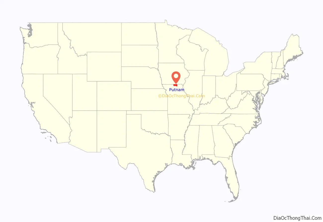
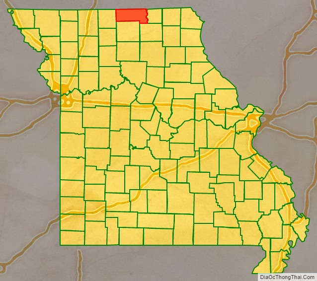
Putnam County is in north central Missouri. At the 2020 census, the population was 4,681. Its county seat is Unionville. The county was organized February 28, 1845, and named for Israel Putnam, a hero in the French and Indian War and a general in the American Revolutionary War.
Putnam County was established February 28, 1845, from parts of Adair and Sullivan counties. The following year a portion of Putnam was removed to form of Dodge County. Both Putnam and Dodge extended nearly nine miles further north until an 1851 ruling by the Supreme Court on a border dispute with Iowa assigned the contested land to Iowa. Both counties were left with less than the statutory minimum area for a county as set by the state legislature, so Dodge County was dissolved and its area added to Putnam.
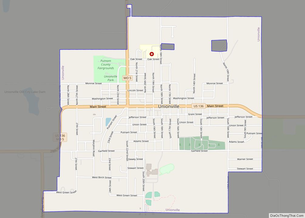
In its early years, the county seat changed frequently, often with contentious debate. Putnamville, Bryant Station (both no longer in existence), and Hartford all served until a central location called Harmony, later renamed Unionville, was chosen.
In the 1860 U.S. Census Putnam County had 9,240 residents, with eighteen sawmills and three flour mills. Coal had been an abundant since its earliest settlement. Following the arrival of the Burlington & Southwestern Railway in 1873, coal mining became a major industry, especially in the east of the county. At one time three railroads crossed Putnam county: the Chicago, Milwaukee and St. Paul; the Chicago, Burlington and Quincy; and the Iowa and St. Louis. Putnam County lost over two-thirds of its population between the years 1900 and 2000 (see census data below), when the United States changed from a rural to an urban country.
| Name: | Putnam County |
|---|---|
| FIPS code: | 29-171 |
| State: | Missouri |
| Founded: | February 28, 1845 |
| Named for: | Israel Putnam |
| Seat: | Unionville |
| Largest city: | Unionville |
| Total Area: | 520 sq mi (1,300 km²) |
| Land Area: | 517 sq mi (1,340 km²) |
| Total Population: | 4,681 |
| Population Density: | 9.0/sq mi (3.5/km²) |
| Time zone: | UTC−6 (Central) |
| Summer Time Zone (DST): | UTC−5 (CDT) |
| Website: | nemr.net/~putco/ |
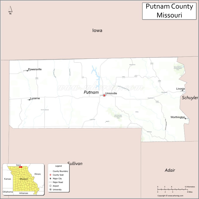
Putnam County location map. Where is Putnam County?
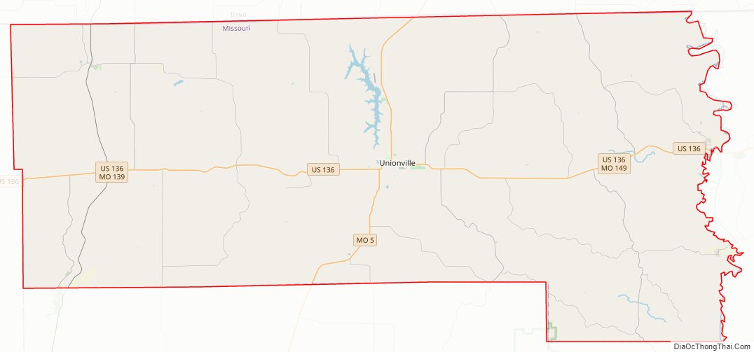
Putnam County Road Map
Geography
According to the U.S. Census Bureau, the county has a total area of 520 square miles (1,300 km), of which 517 square miles (1,340 km) is land and 2.3 square miles (6.0 km) (0.4%) is water.
Adjacent counties
- Wayne County, Iowa (northwest)
- Appanoose County, Iowa (northeast)
- Schuyler County (east)
- Adair County (southeast)
- Sullivan County (south)
- Mercer County (west)
Major highways
- U.S. Route 136
- Route 5
- Route 129
- Route 139
- Route 149
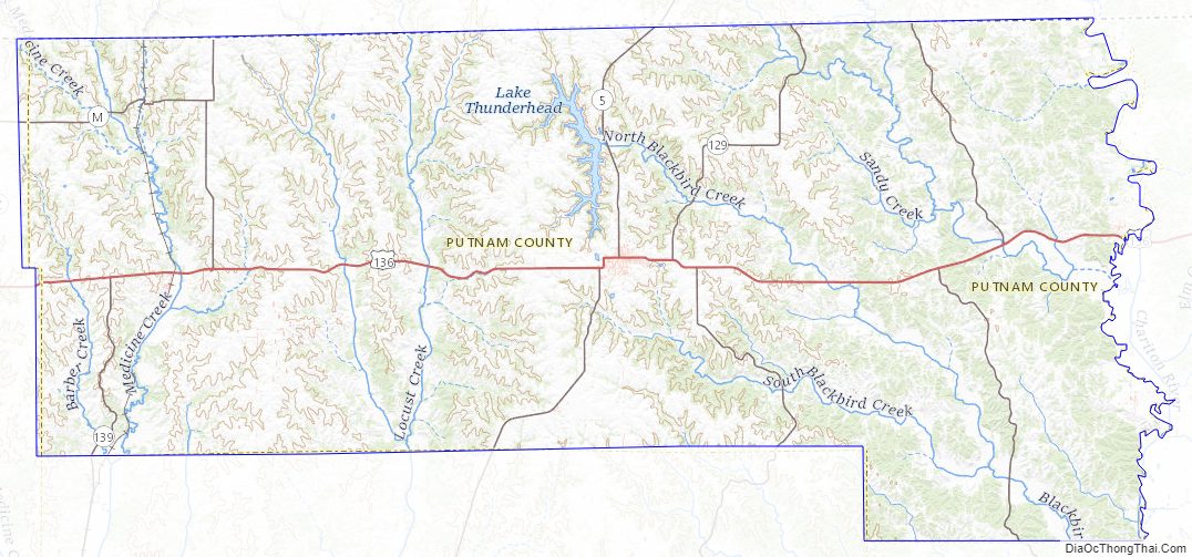
Putnam County Topographic Map
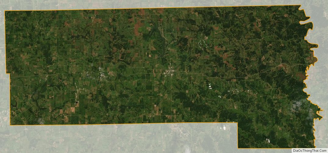
Putnam County Satellite Map
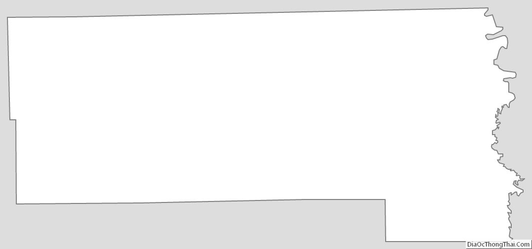
Putnam County Outline Map