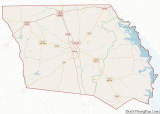
Center is a city in Shelby County, Texas. The population was 5,221 at the 2020 U.S. census. It is the county seat of Shelby County located in deep East Texas. It was named for its location near the center of Shelby County, it is near the Louisiana border.
| Name: | Center city |
|---|---|
| LSAD Code: | 25 |
| LSAD Description: | city (suffix) |
| State: | Texas |
| County: | Shelby County |
| Elevation: | 371 ft (113 m) |
| Total Area: | 7.86 sq mi (20.34 km²) |
| Land Area: | 7.84 sq mi (20.30 km²) |
| Water Area: | 0.02 sq mi (0.04 km²) |
| Total Population: | 5,221 |
| Population Density: | 660.24/sq mi (254.91/km²) |
| ZIP code: | 75935 |
| Area code: | 936 |
| FIPS code: | 4813732 |
| GNISfeature ID: | 1354185 |
| Website: | www.centertexas.org |
Online Interactive Map
Click on ![]() to view map in "full screen" mode.
to view map in "full screen" mode.
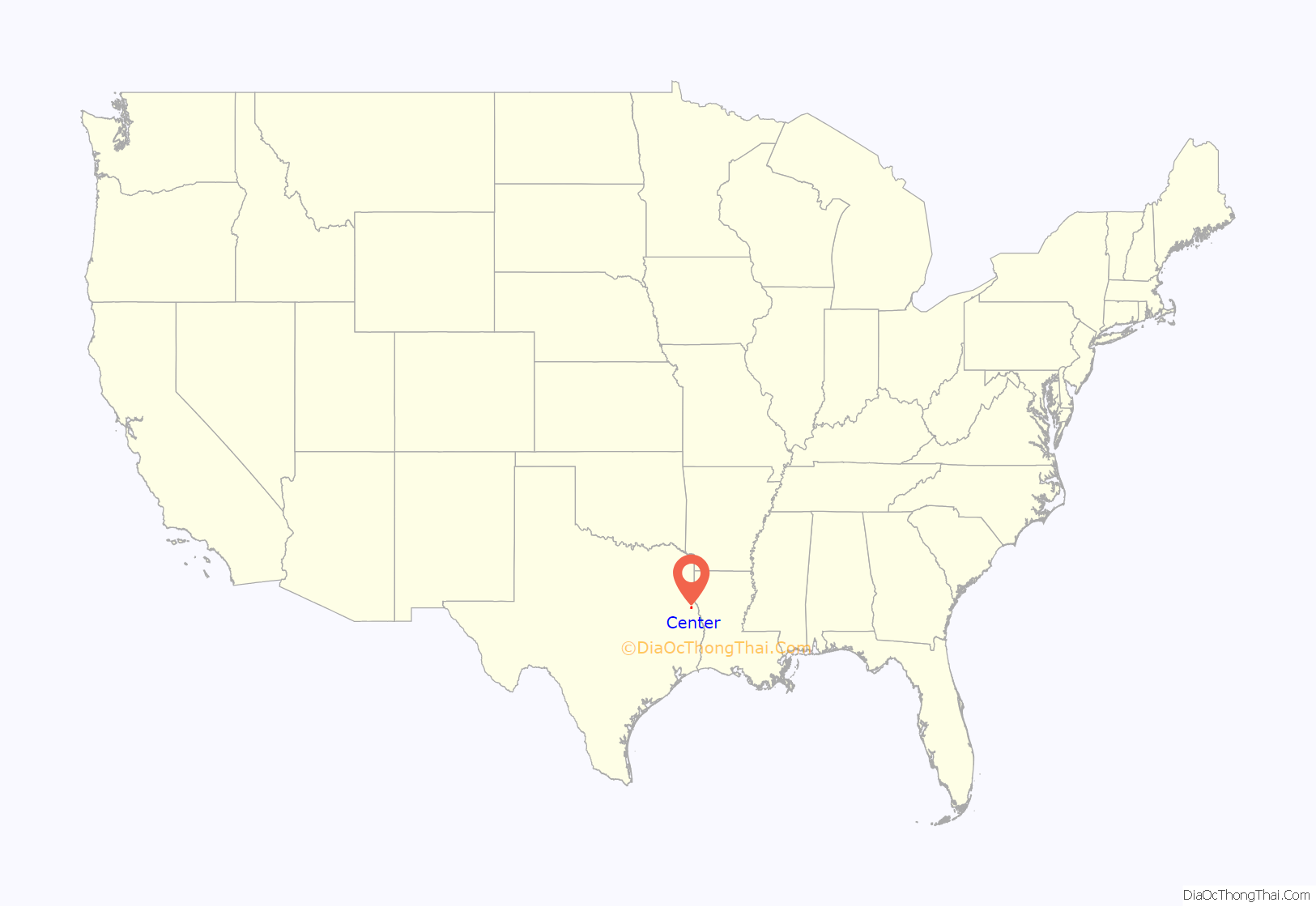
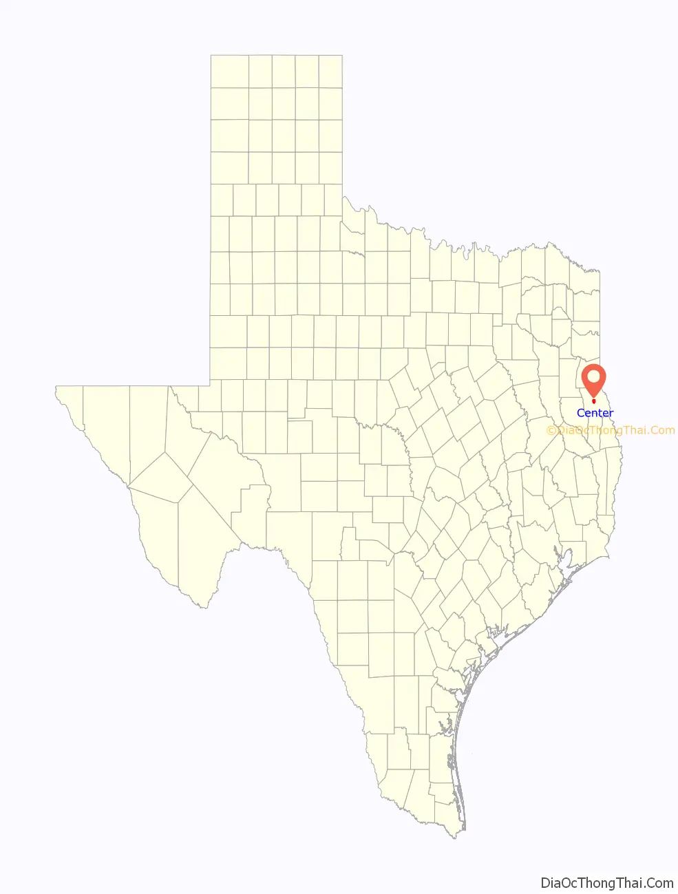
Center location map. Where is Center city?
History
Shelby County was one of the original 13 counties in Texas, being organized by the Republic of Texas Congress in 1837. The county was named for Issac Shelby, an American military hero and governor of Kentucky. Shelby County eventually became one of the most populous and prosperous counties in the state because of its proximity to Louisiana and location along the Sabine River.
The settlement which eventually became the City of Center was originally called White Cottage. A post office was established at this settlement on April 6, 1848.
Al Johnson, an East Texas State Representative, introduced a bill to have all county seats be as close to the center of the county as possible. R.L. Parker, the County Clerk at the time, arranged to have the county surveyed and the center located. The originally county seat was Shelbyville, Texas located approximately 7 miles (11 km) from White Cottage. However, one night in 1866, a group of men led by Parker entered into the court house and stole all of the records and took them to a log cabin near White Cottage. Shortly after the incident, the community became known as Center, primarily to reflect the requisite location of the county seat.
The Center post office opened in October 1866. In 1869, Confederate veterans Captain Jesse Amason and James C. Wilson, with wife Margaret Davis Wilson, each donated 50 acres (20 ha) of land for the townsite of Center. According to one historical account, Amason would not give the land unless the new town would have a 4-acre (1.6 ha) town square, and that is the reason that Center has such a large square. Mr. Wilson owned considerable land in the southern quarter of the town. Much of that area is called the “Wilson Addition”.
On the night of May 31, 1882, a fire erupted at the courthouse and the building was a complete loss. The county contracted with J.J. E. Gibson, an Irish immigrant, to construct a new courthouse and jail. When the bond of builders J.J. E. Gibson and Pat McLaughlin for the sum of $26,725 was issued in 1884 for them to erect a new courthouse for Shelby County, the firm of Wilson and Martin was among the securities. The courthouse, modeled after an Irish castle, was completed in November, 1885 and is still standing as the centerpiece of the Center Square.
The town of Center made national news twice in 1920s for the lynchings of black murder suspects without a trial. On August 3, 1920, Lige Daniels was seized by an angry mob that broke into the Shelby County Jail, where he was being held on charges of the beating death of a woman. Daniels, an 18-year old black man, was dragged out and hanged from a tree in front of the courthouse, famous as the “Center Hanging Oak”. The oak tree was used again as a gallows on May 21, 1928, when another mob intercepted another 18-year old African-American, accused murderer Eolis Evans, as he was being returned to the county jail. The “hanging oak” tree itself died in 1990 and was cut down.
At noon on February 12, 1950, an F3 tornado touched down in Center, destroying several buildings. The tornado killed three and injured at least 15 people.
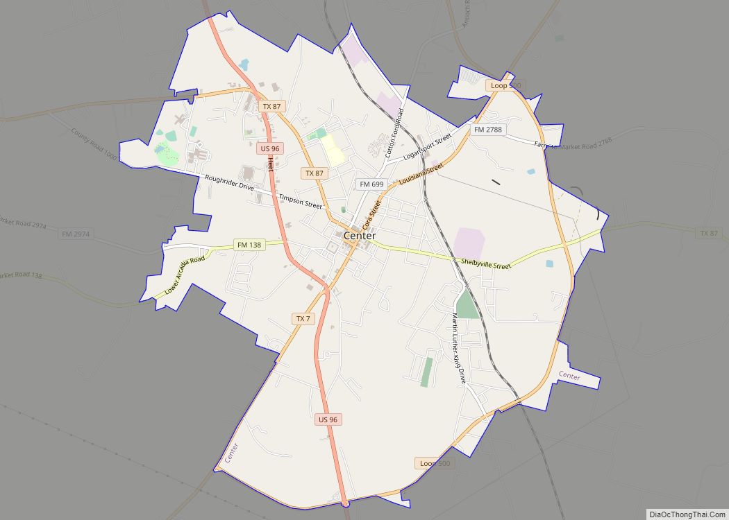
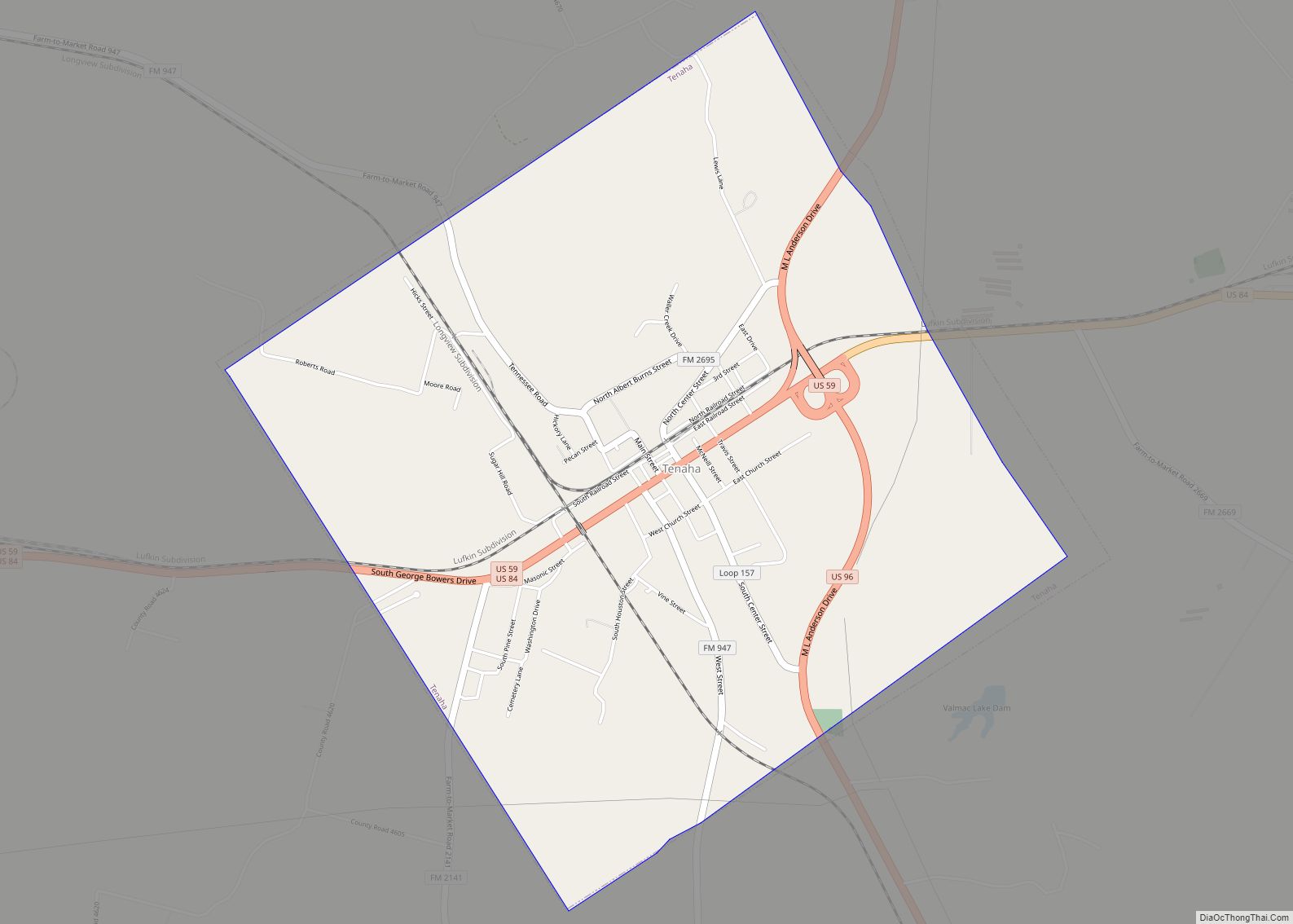
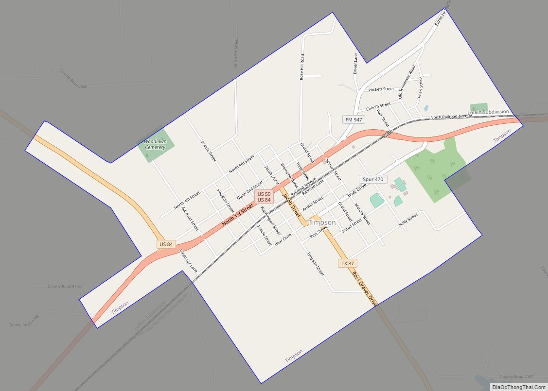
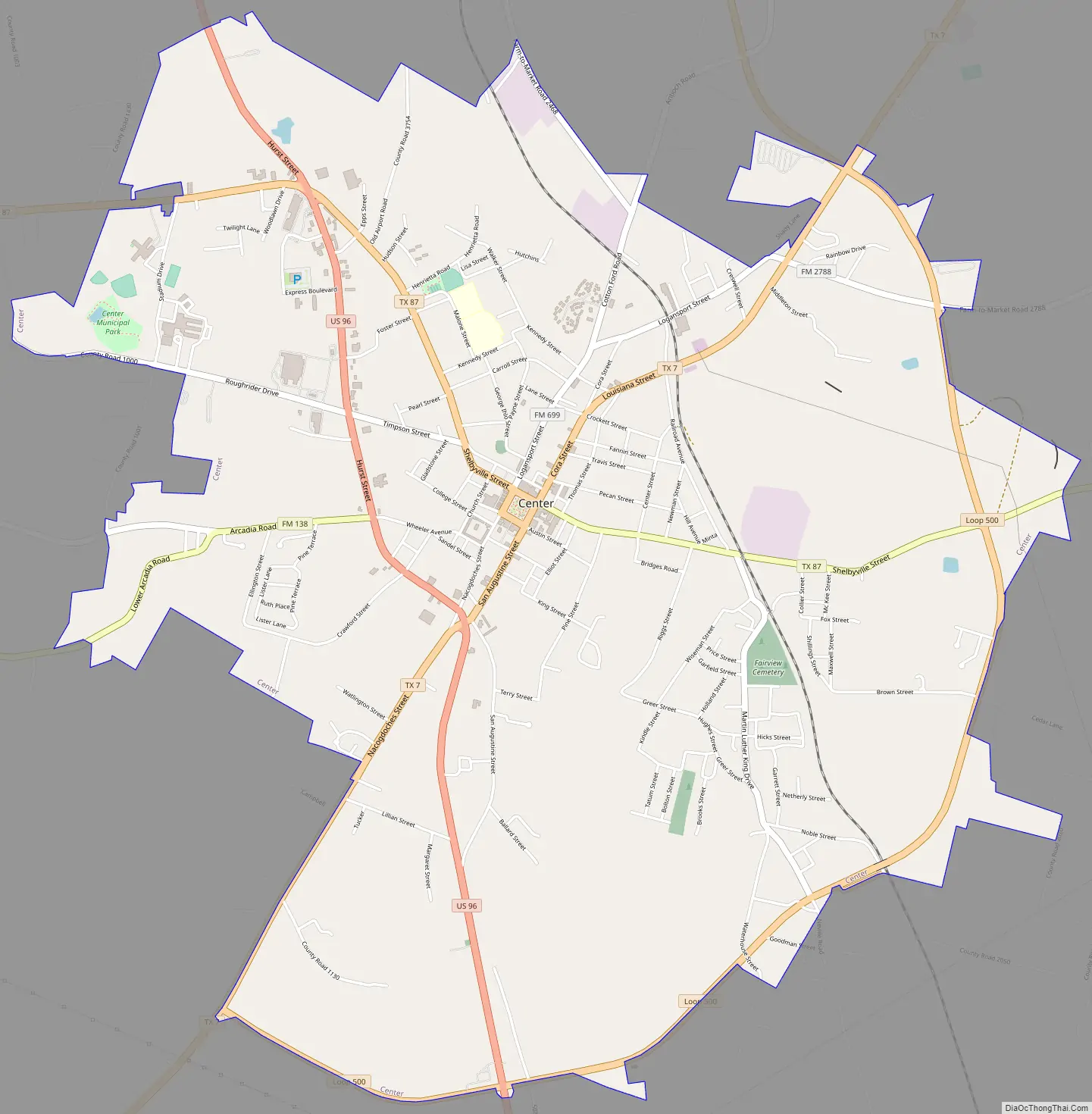
Center Road Map
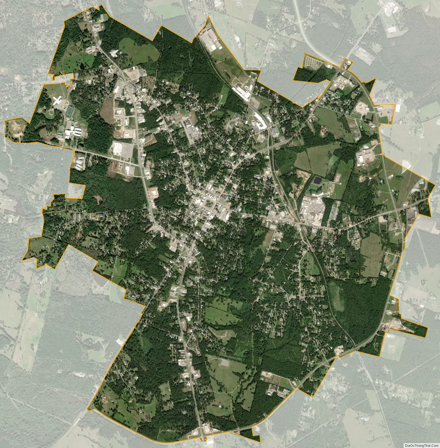
Center city Satellite Map
Geography
Center is 17 miles (27 km) from the Louisiana border and 118 miles (190 km) north of Beaumont at the center of Shelby County. According to the United States Census Bureau, the city has a total area of 6.2 square miles (16 km), of which 6.2 square miles (16 km) is land and 0.16% is water.
See also
Map of Texas State and its subdivision:- Anderson
- Andrews
- Angelina
- Aransas
- Archer
- Armstrong
- Atascosa
- Austin
- Bailey
- Bandera
- Bastrop
- Baylor
- Bee
- Bell
- Bexar
- Blanco
- Borden
- Bosque
- Bowie
- Brazoria
- Brazos
- Brewster
- Briscoe
- Brooks
- Brown
- Burleson
- Burnet
- Caldwell
- Calhoun
- Callahan
- Cameron
- Camp
- Carson
- Cass
- Castro
- Chambers
- Cherokee
- Childress
- Clay
- Cochran
- Coke
- Coleman
- Collin
- Collingsworth
- Colorado
- Comal
- Comanche
- Concho
- Cooke
- Coryell
- Cottle
- Crane
- Crockett
- Crosby
- Culberson
- Dallam
- Dallas
- Dawson
- Deaf Smith
- Delta
- Denton
- Dewitt
- Dickens
- Dimmit
- Donley
- Duval
- Eastland
- Ector
- Edwards
- El Paso
- Ellis
- Erath
- Falls
- Fannin
- Fayette
- Fisher
- Floyd
- Foard
- Fort Bend
- Franklin
- Freestone
- Frio
- Gaines
- Galveston
- Garza
- Gillespie
- Glasscock
- Goliad
- Gonzales
- Gray
- Grayson
- Gregg
- Grimes
- Guadalupe
- Hale
- Hall
- Hamilton
- Hansford
- Hardeman
- Hardin
- Harris
- Harrison
- Hartley
- Haskell
- Hays
- Hemphill
- Henderson
- Hidalgo
- Hill
- Hockley
- Hood
- Hopkins
- Houston
- Howard
- Hudspeth
- Hunt
- Hutchinson
- Irion
- Jack
- Jackson
- Jasper
- Jeff Davis
- Jefferson
- Jim Hogg
- Jim Wells
- Johnson
- Jones
- Karnes
- Kaufman
- Kendall
- Kenedy
- Kent
- Kerr
- Kimble
- King
- Kinney
- Kleberg
- Knox
- La Salle
- Lamar
- Lamb
- Lampasas
- Lavaca
- Lee
- Leon
- Liberty
- Limestone
- Lipscomb
- Live Oak
- Llano
- Loving
- Lubbock
- Lynn
- Madison
- Marion
- Martin
- Mason
- Matagorda
- Maverick
- McCulloch
- McLennan
- McMullen
- Medina
- Menard
- Midland
- Milam
- Mills
- Mitchell
- Montague
- Montgomery
- Moore
- Morris
- Motley
- Nacogdoches
- Navarro
- Newton
- Nolan
- Nueces
- Ochiltree
- Oldham
- Orange
- Palo Pinto
- Panola
- Parker
- Parmer
- Pecos
- Polk
- Potter
- Presidio
- Rains
- Randall
- Reagan
- Real
- Red River
- Reeves
- Refugio
- Roberts
- Robertson
- Rockwall
- Runnels
- Rusk
- Sabine
- San Augustine
- San Jacinto
- San Patricio
- San Saba
- Schleicher
- Scurry
- Shackelford
- Shelby
- Sherman
- Smith
- Somervell
- Starr
- Stephens
- Sterling
- Stonewall
- Sutton
- Swisher
- Tarrant
- Taylor
- Terrell
- Terry
- Throckmorton
- Titus
- Tom Green
- Travis
- Trinity
- Tyler
- Upshur
- Upton
- Uvalde
- Val Verde
- Van Zandt
- Victoria
- Walker
- Waller
- Ward
- Washington
- Webb
- Wharton
- Wheeler
- Wichita
- Wilbarger
- Willacy
- Williamson
- Wilson
- Winkler
- Wise
- Wood
- Yoakum
- Young
- Zapata
- Zavala
- Alabama
- Alaska
- Arizona
- Arkansas
- California
- Colorado
- Connecticut
- Delaware
- District of Columbia
- Florida
- Georgia
- Hawaii
- Idaho
- Illinois
- Indiana
- Iowa
- Kansas
- Kentucky
- Louisiana
- Maine
- Maryland
- Massachusetts
- Michigan
- Minnesota
- Mississippi
- Missouri
- Montana
- Nebraska
- Nevada
- New Hampshire
- New Jersey
- New Mexico
- New York
- North Carolina
- North Dakota
- Ohio
- Oklahoma
- Oregon
- Pennsylvania
- Rhode Island
- South Carolina
- South Dakota
- Tennessee
- Texas
- Utah
- Vermont
- Virginia
- Washington
- West Virginia
- Wisconsin
- Wyoming