Scottsbluff is a city in Scotts Bluff County, in the western part of the state of Nebraska, in the Great Plains region of the United States. The population was 14,436 at the 2020 census. Scottsbluff is the largest city in the Nebraska Panhandle, and the 13th largest city in Nebraska.
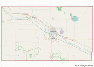
Scottsbluff was founded in 1899 across the North Platte River from its namesake, a bluff that is now protected by the National Park Service as Scotts Bluff National Monument. The monument was named after Hiram Scott (1805–1828), a fur trader with the Rocky Mountain Fur Company who was found dead in the vicinity on the return trip from a fur expedition. The smaller town of Gering had been founded south of the river in 1887. The two cities have since grown together to form the 7th largest urban area (the Scottsbluff Micropolitan Statistical Area) in Nebraska.
| Name: | Scottsbluff city |
|---|---|
| LSAD Code: | 25 |
| LSAD Description: | city (suffix) |
| State: | Nebraska |
| County: | Scotts Bluff County |
| Founded: | 1900 |
| Elevation: | 3,891 ft (1,186 m) |
| Total Area: | 6.68 sq mi (17.30 km²) |
| Land Area: | 6.63 sq mi (17.18 km²) |
| Water Area: | 0.04 sq mi (0.12 km²) |
| Total Population: | 14,436 |
| Population Density: | 2,176.06/sq mi (840.19/km²) |
| ZIP code: | 69361, 69363 |
| Area code: | 308 |
| FIPS code: | 3144245 |
| GNISfeature ID: | 0833318 |
| Website: | www.scottsbluff.org |
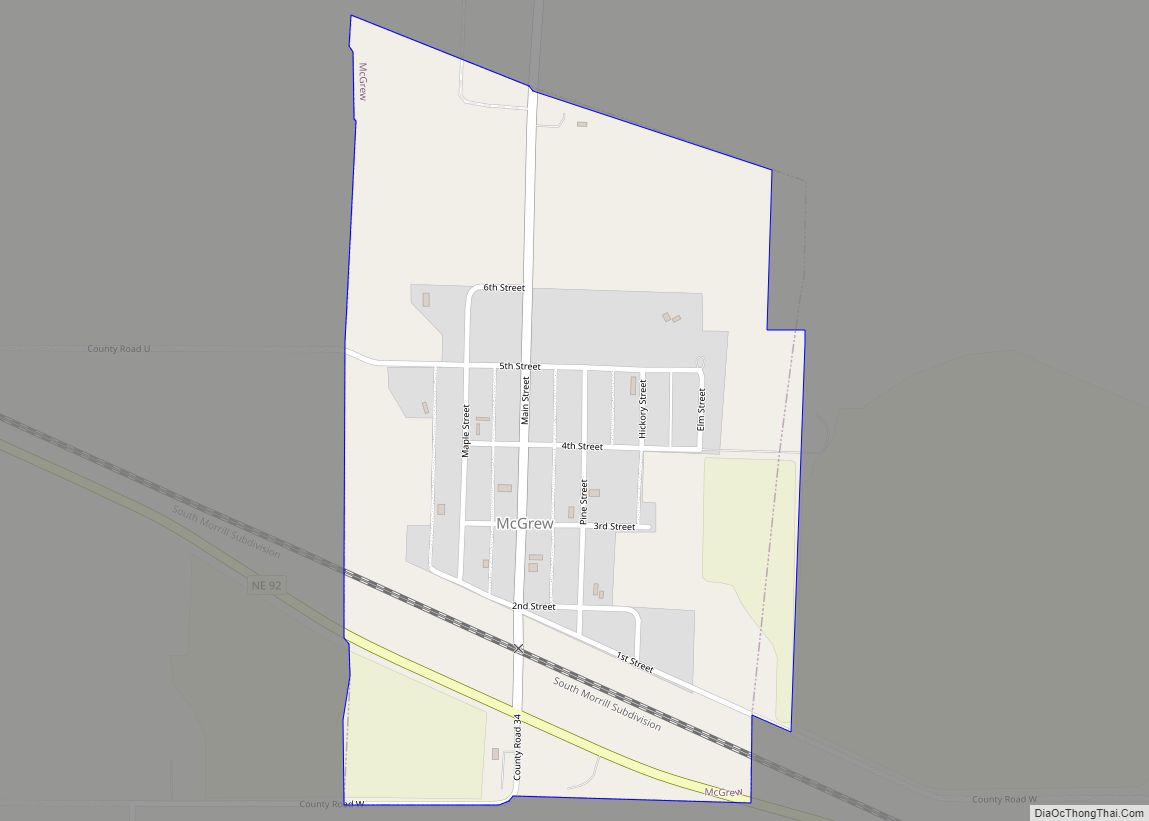
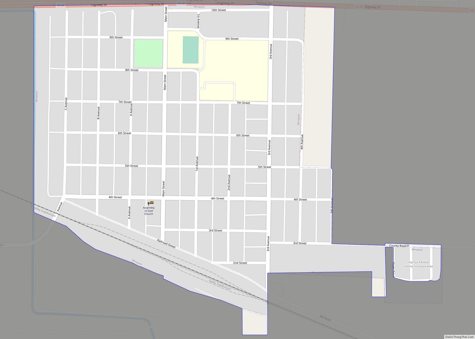
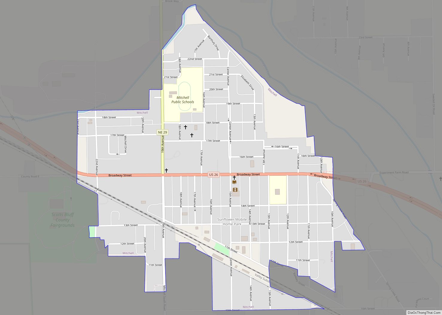
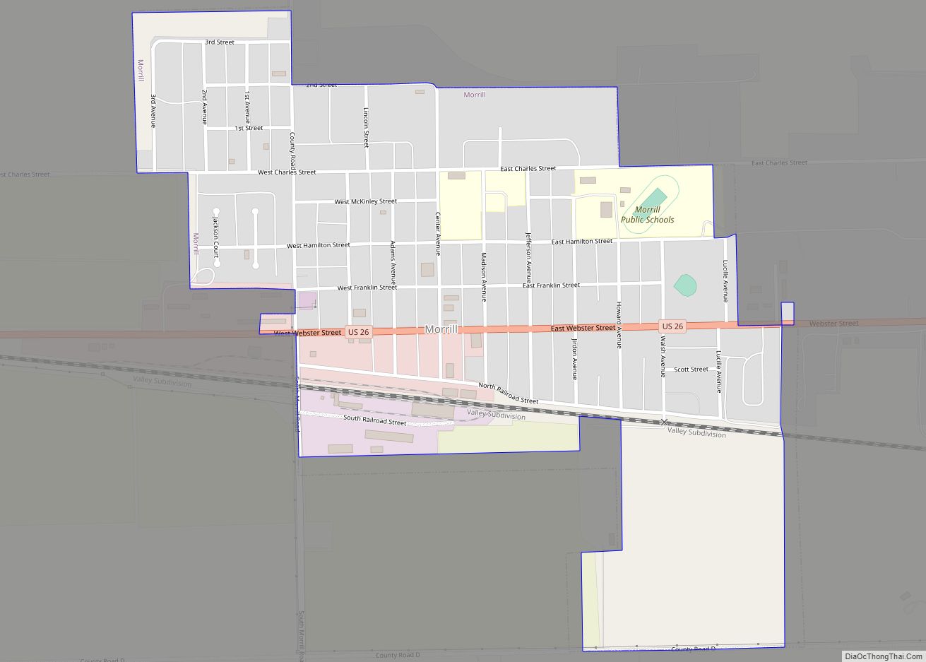
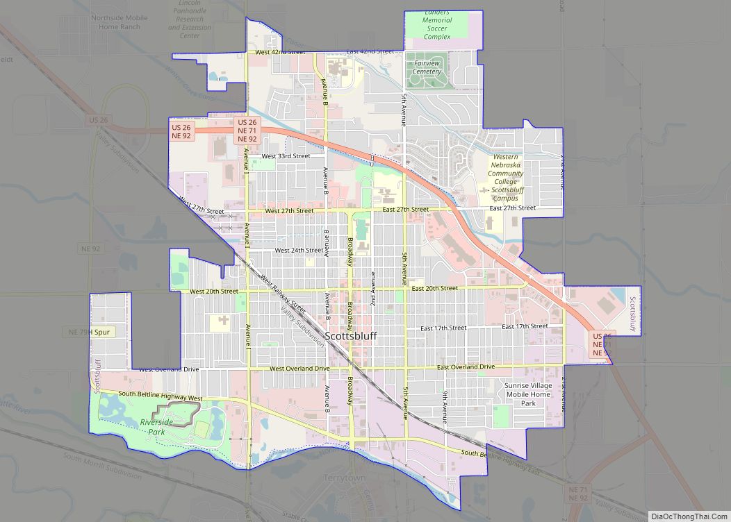
Online Interactive Map
Click on ![]() to view map in "full screen" mode.
to view map in "full screen" mode.
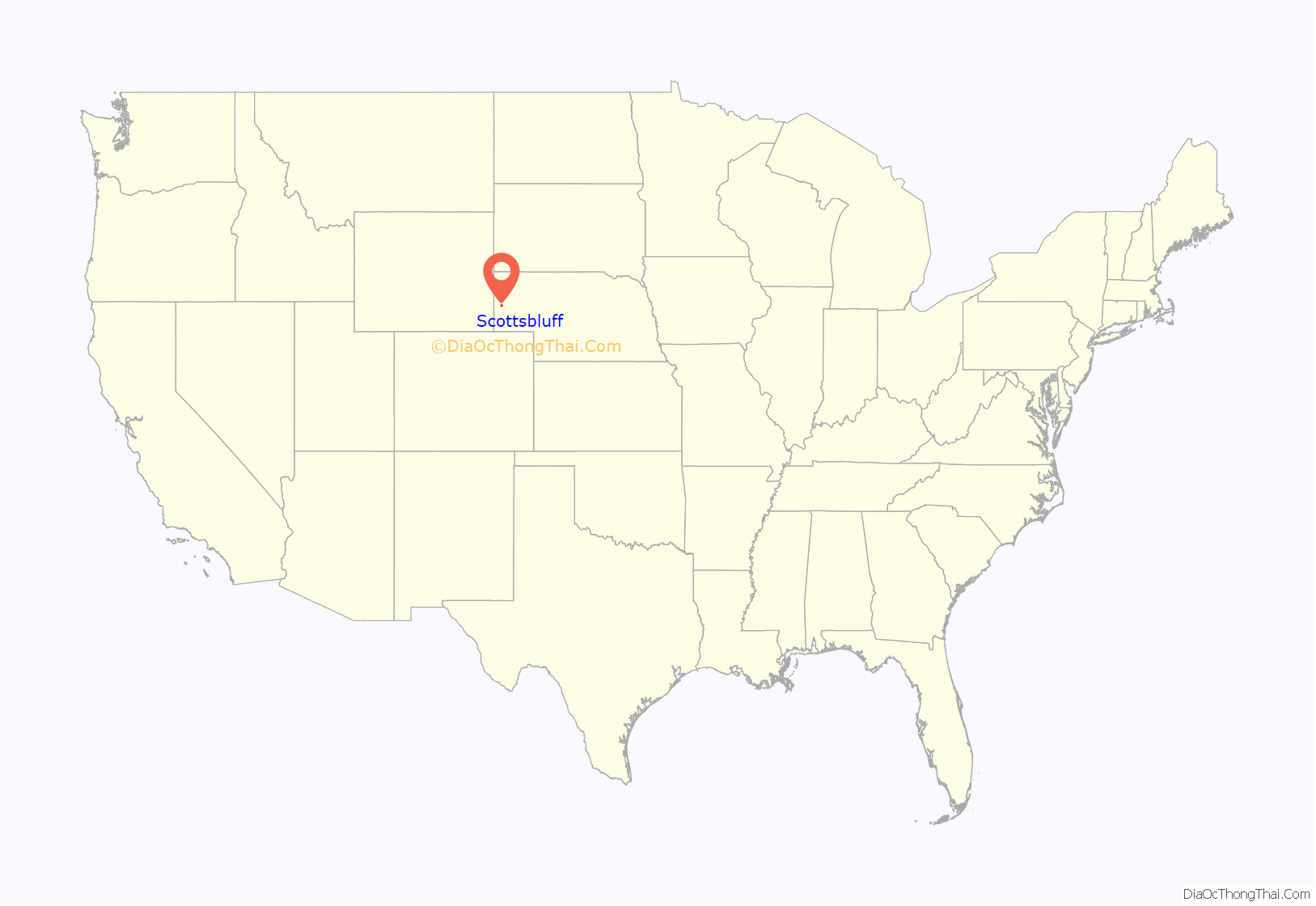
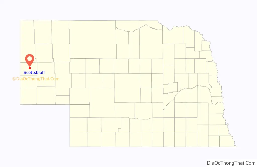
Scottsbluff location map. Where is Scottsbluff city?
History
Scottsbluff was founded in 1899 by the Lincoln Land Company, a subsidiary of the Burlington Railroad. By 1900, the Burlington Railroad laid tracks into the town, and placed a discarded boxcar next to the tracks as a temporary depot. Scottsbluff was the first town in the region to be located along a railroad line, resulting in some older businesses relocating from Gering to Scottsbluff.
Scottsbluff Road Map
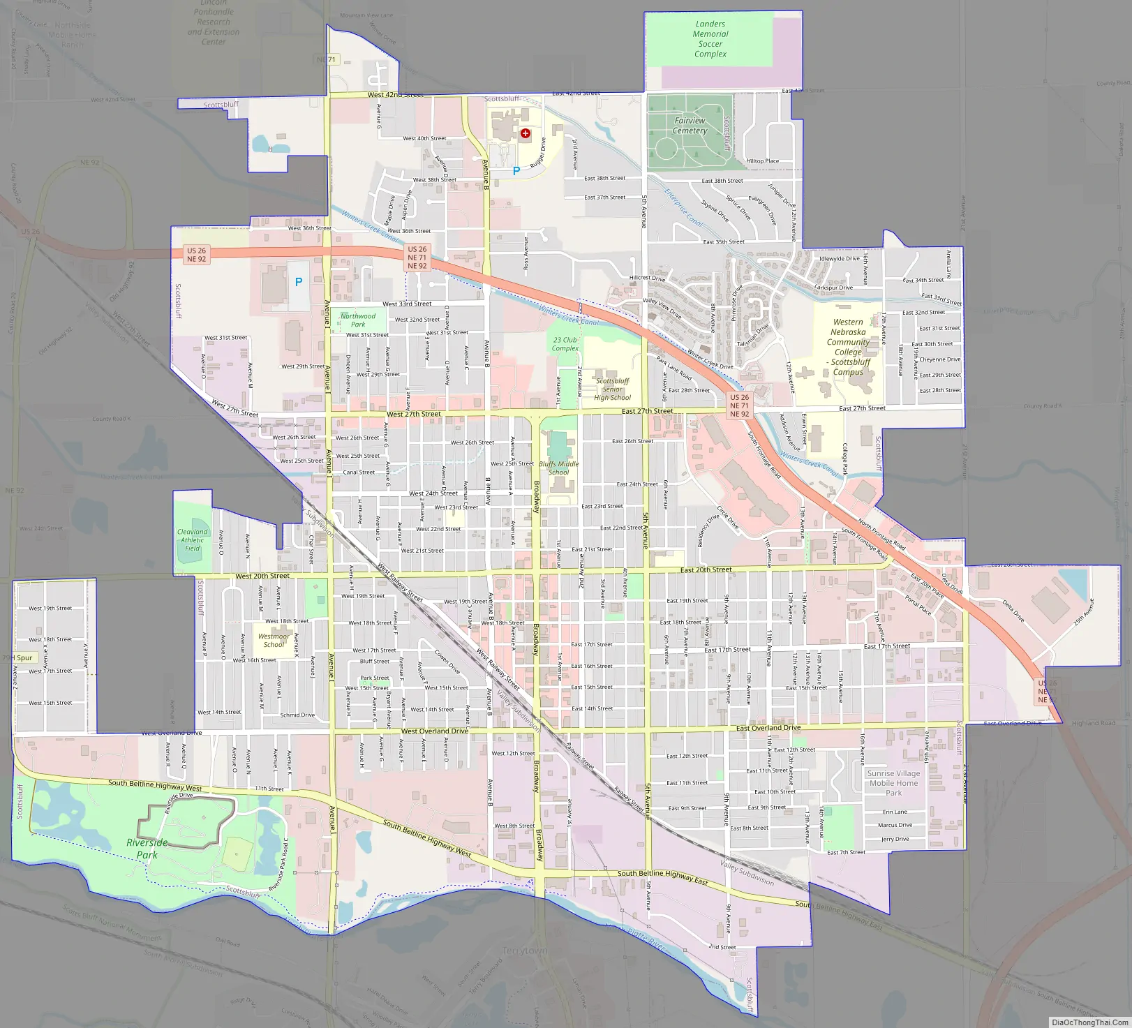
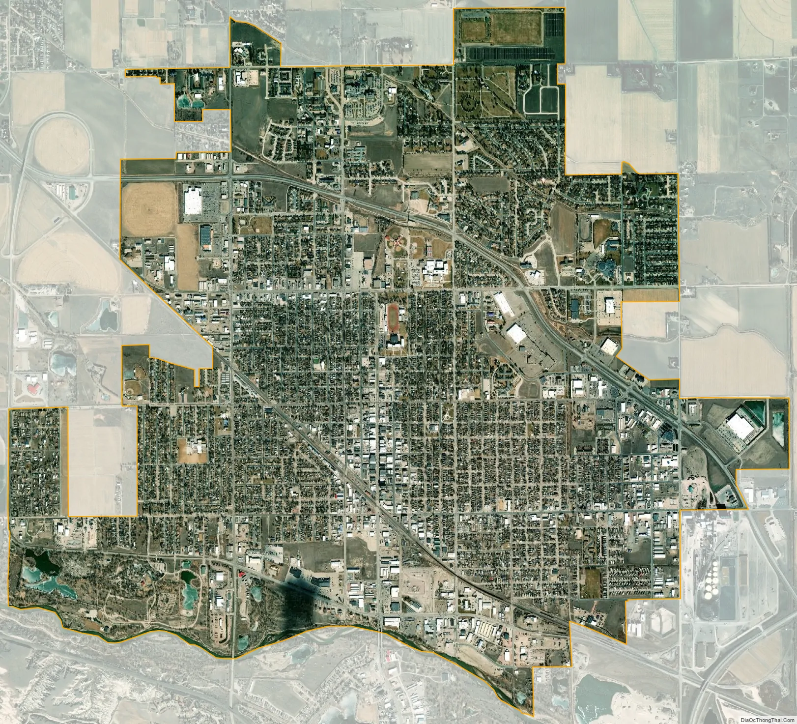
Scottsbluff city Satellite Map
Geography
Scottsbluff is located at 41°52′2″N 103°39′39″W / 41.86722°N 103.66083°W / 41.86722; -103.66083 (41.867140, −103.660709).
According to the United States Census Bureau, the city has a total area of 6.27 square miles (16.24 km), of which 6.22 square miles (16.11 km) is land and 0.05 square miles (0.13 km) is water.
Scottsbluff has a cold semi-arid climate (Köppen climate classification BSk), bordering on a hot-summer humid continental climate (Koppen: Dfa) with wide seasonal and day-to-day variation as well as a large diurnal temperature variation, and is located in USDA Plant Hardiness Zone 5a. Summers are hot, and winters dry and cold, though chinook winds can loosen the cold’s grip, often bringing temperatures above 50 °F (10 °C). The monthly daily average temperature ranges from 28.3 °F (−2.1 °C) in December to 75.3 °F (24.1 °C) in July. Over the course of a year, there is an average 6 days with maxima 100 °F (38 °C) or above, 49.1 days with maxima reaching at least 90 °F (32 °C), 27.4 days with a maximum at or below the freezing mark, and 11.6 days with minima at or below 0 °F (−18 °C).
Extremes in temperature have ranged from 110 °F (43 °C) on July 11, 1939, down to −45 °F (−43 °C) on February 12, 1899. The year 1989 saw temperatures as extreme as 109 °F (43 °C) and −42 °F (−41 °C) (during the December 1989 United States cold wave), while the month of February 1962 saw temperatures as hot as 77 °F (25 °C) on the 11th and as cold as −28 °F (−33 °C) on the 28th.
Precipitation is heavily concentrated in the spring and summer months, with only May and June averaging over 2 inches (50.8 mm). The wettest single day has been June 7, 1953, with 3.18 inches (80.8 mm) of rain, while the wettest calendar month on record has been June 1947 with 8.33 inches (211.6 mm) and the wettest calendar year 1915 with 27.48 inches (698.0 mm). The months of November 1939 and March 2012 did not see even a trace of precipitation, while nineteen other months since 1893 have seen only a trace. The driest calendar year has been 2012 with 6.99 inches (177.5 mm). Snow typically falls in light amounts, with a 1991−2020 seasonal average of 42.5 inches (108 cm); the most snow in one month has been 31.3 inches (80 cm) in October 2009, and the greatest depth of snow on the ground 23 inches (58 cm) on April 14, 1927. The most snowfall in a season is 81.9 inches (208 cm) between July 2009 and June 2010; the least snow being 13.5 inches (34 cm) between July 1933 and June 1934.
See also
Map of Nebraska State and its subdivision:- Adams
- Antelope
- Arthur
- Banner
- Blaine
- Boone
- Box Butte
- Boyd
- Brown
- Buffalo
- Burt
- Butler
- Cass
- Cedar
- Chase
- Cherry
- Cheyenne
- Clay
- Colfax
- Cuming
- Custer
- Dakota
- Dawes
- Dawson
- Deuel
- Dixon
- Dodge
- Douglas
- Dundy
- Fillmore
- Franklin
- Frontier
- Furnas
- Gage
- Garden
- Garfield
- Gosper
- Grant
- Greeley
- Hall
- Hamilton
- Harlan
- Hayes
- Hitchcock
- Holt
- Hooker
- Howard
- Jefferson
- Johnson
- Kearney
- Keith
- Keya Paha
- Kimball
- Knox
- Lancaster
- Lincoln
- Logan
- Loup
- Madison
- McPherson
- Merrick
- Morrill
- Nance
- Nemaha
- Nuckolls
- Otoe
- Pawnee
- Perkins
- Phelps
- Pierce
- Platte
- Polk
- Red Willow
- Richardson
- Rock
- Saline
- Sarpy
- Saunders
- Scotts Bluff
- Seward
- Sheridan
- Sherman
- Sioux
- Stanton
- Thayer
- Thomas
- Thurston
- Valley
- Washington
- Wayne
- Webster
- Wheeler
- York
- Alabama
- Alaska
- Arizona
- Arkansas
- California
- Colorado
- Connecticut
- Delaware
- District of Columbia
- Florida
- Georgia
- Hawaii
- Idaho
- Illinois
- Indiana
- Iowa
- Kansas
- Kentucky
- Louisiana
- Maine
- Maryland
- Massachusetts
- Michigan
- Minnesota
- Mississippi
- Missouri
- Montana
- Nebraska
- Nevada
- New Hampshire
- New Jersey
- New Mexico
- New York
- North Carolina
- North Dakota
- Ohio
- Oklahoma
- Oregon
- Pennsylvania
- Rhode Island
- South Carolina
- South Dakota
- Tennessee
- Texas
- Utah
- Vermont
- Virginia
- Washington
- West Virginia
- Wisconsin
- Wyoming