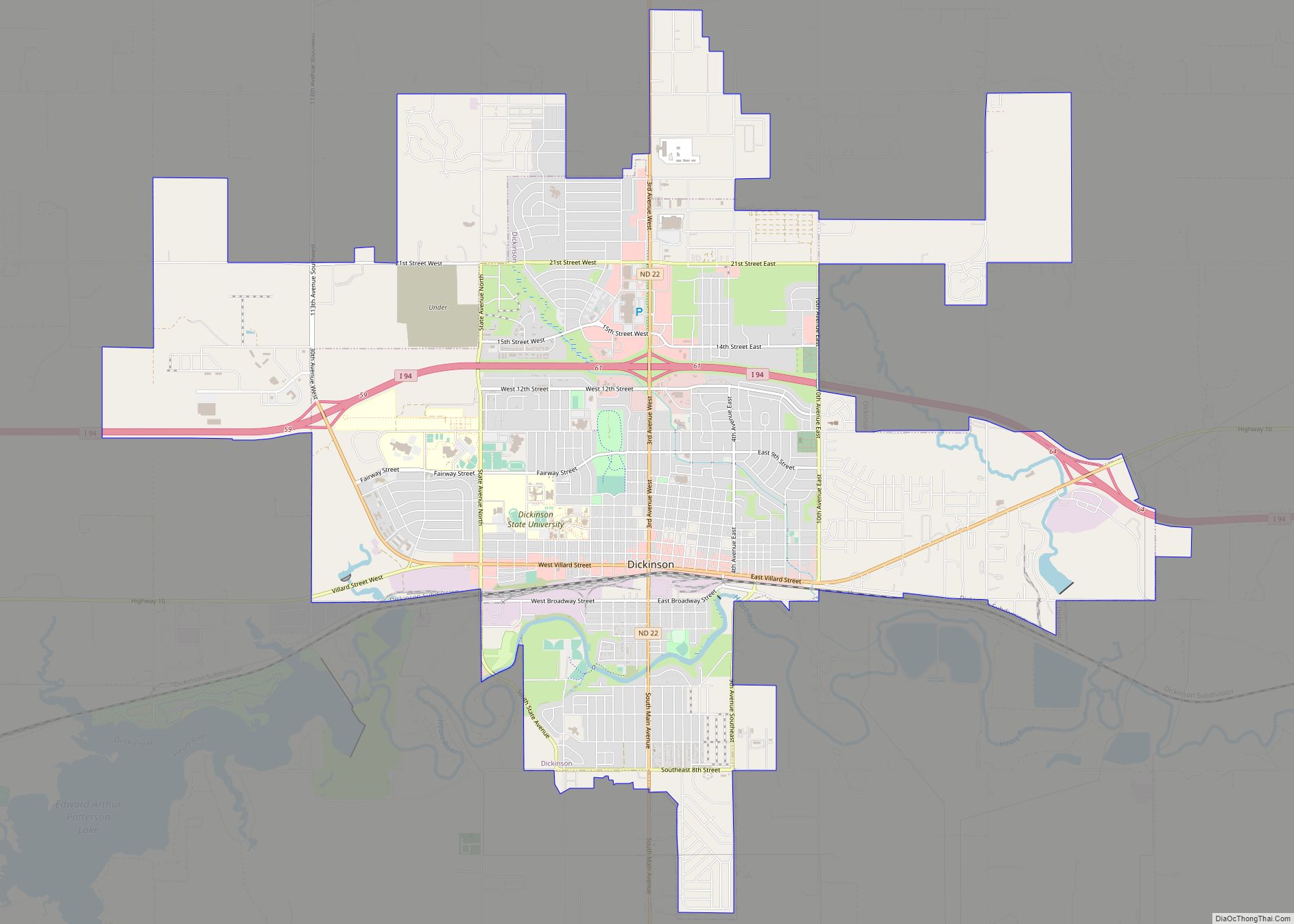
Stark County is a county in the U.S. state of North Dakota. As of the 2020 census, the population was 33,646. Its county seat is Dickinson.
Stark County is part of the Dickinson, ND Micropolitan Statistical Area.
| Name: | Stark County |
|---|---|
| FIPS code: | 38-089 |
| State: | North Dakota |
| Founded: | 1879 |
| Named for: | George Stark |
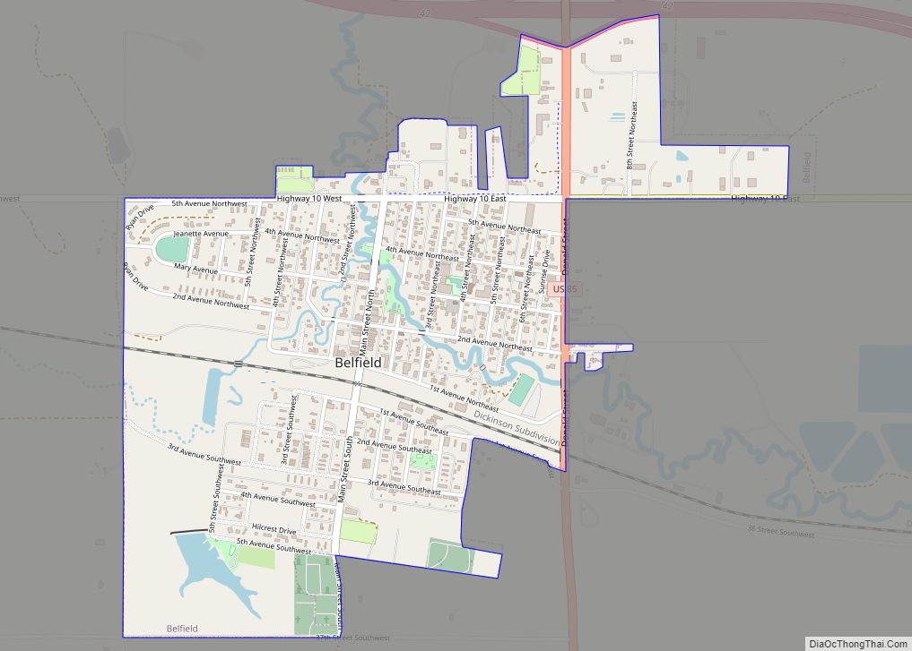
| Seat: | Dickinson |
| Largest city: | Dickinson |
| Total Area: | 1,340 sq mi (3,500 km²) |
| Land Area: | 1,335 sq mi (3,460 km²) |
| Total Population: | 33,646 |
| Population Density: | 25/sq mi (9.7/km²) |
| Time zone: | UTC−7 (Mountain) |
| Summer Time Zone (DST): | UTC−6 (MDT) |
| Website: | www.starkcountynd.gov |
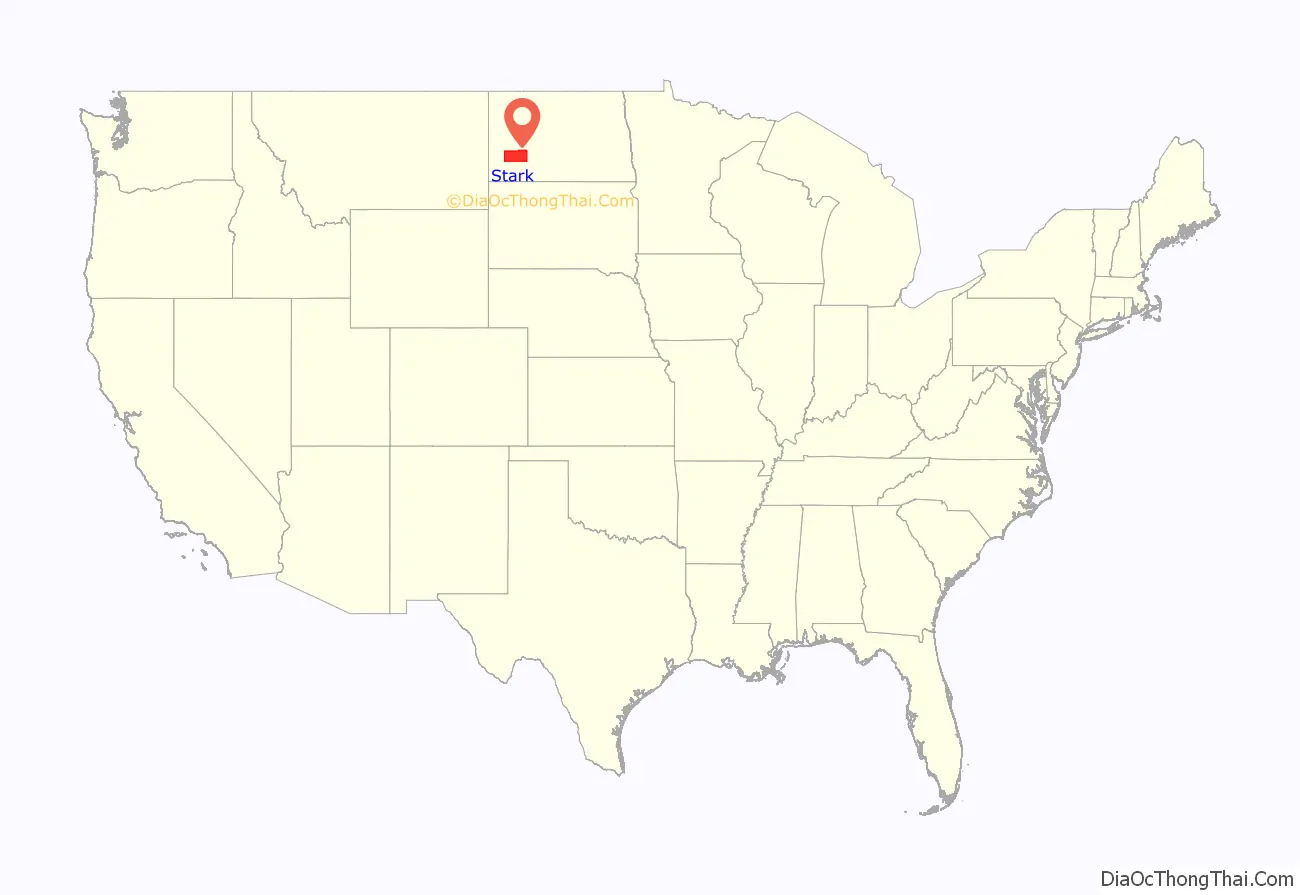
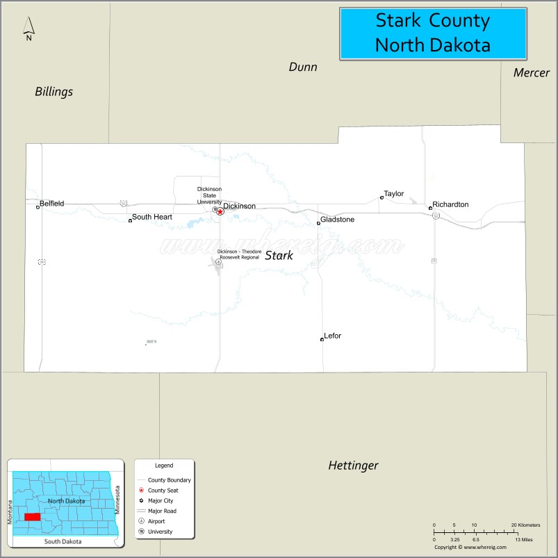
Stark County location map. Where is Stark County?
History
The Dakota Territory legislature created the county on February 10, 1879, taking area from now-extinct Howard and Williams counties and some previously unincorporated territory. It was named for George Stark, a vice president of the Northern Pacific Railroad. The county organization was not completed at that time, but the new county was not attached to another county for administrative and judicial purposes. The county lost a portion of its area when Hettinger County was created on March 9, 1883. On May 25, 1883, the Stark County organization was effected.
The county boundaries were altered in February and in March 1887. The county was slightly enlarged on January 18, 1908, by a small strip of land (due to a redefinition of county boundary lines), giving Stark County its present boundary lines.
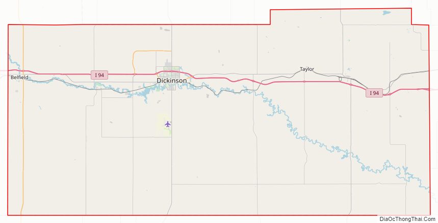
Stark County Road Map
Geography
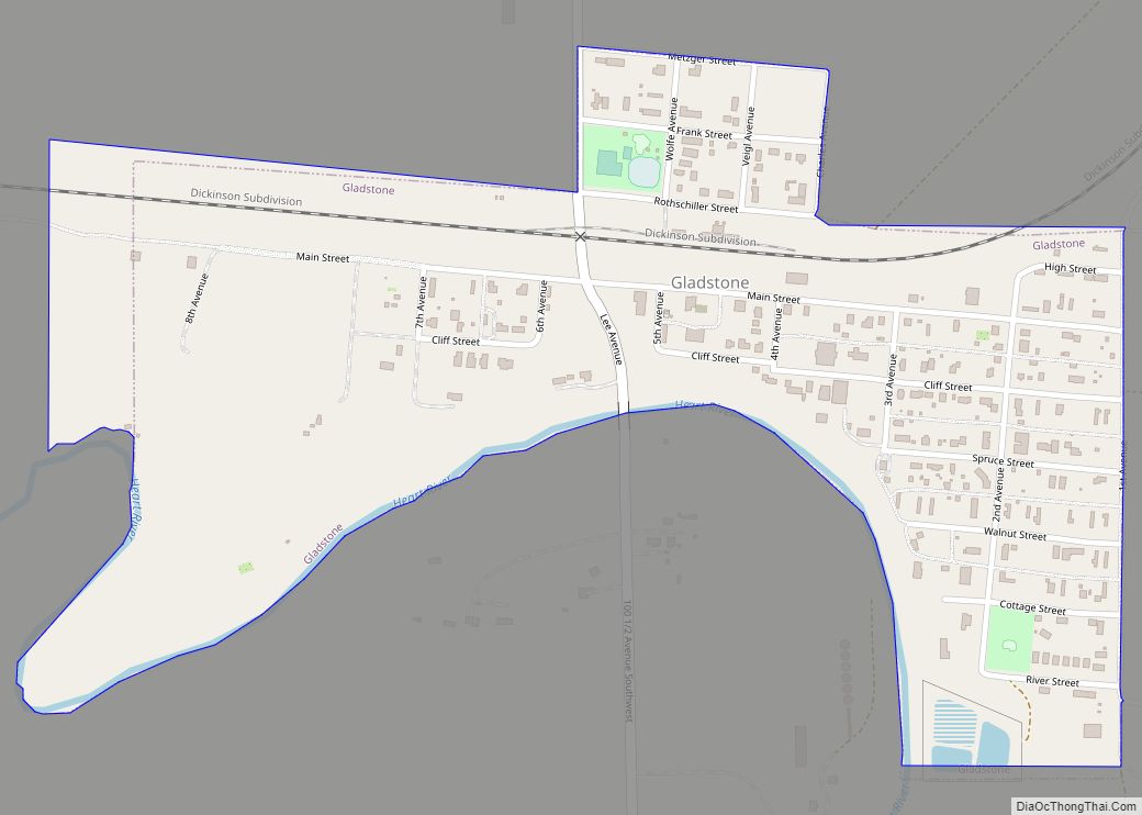
The south branch of the Heart River flows through the central part of Stark County, discharging into Patterson Lake at Dickinson, then flowing east-southeasterly into adjacent Morton County. The county terrain consists of semi-arid rolling hills, mostly devoted to agriculture. The terrain slopes to the east, with its highest point near its SW corner, at 2,831′ (863m) ASL. The county has a total area of 1,340 square miles (3,500 km), of which 1,335 square miles (3,460 km) is land and 5.5 square miles (14 km) (0.4%) is water.
The southwestern counties of North Dakota (Adams, Billings, Bowman, Golden Valley, Grant, Hettinger, Slope, Stark) observe Mountain Time. The counties of McKenzie, Dunn, and Sioux counties are split.
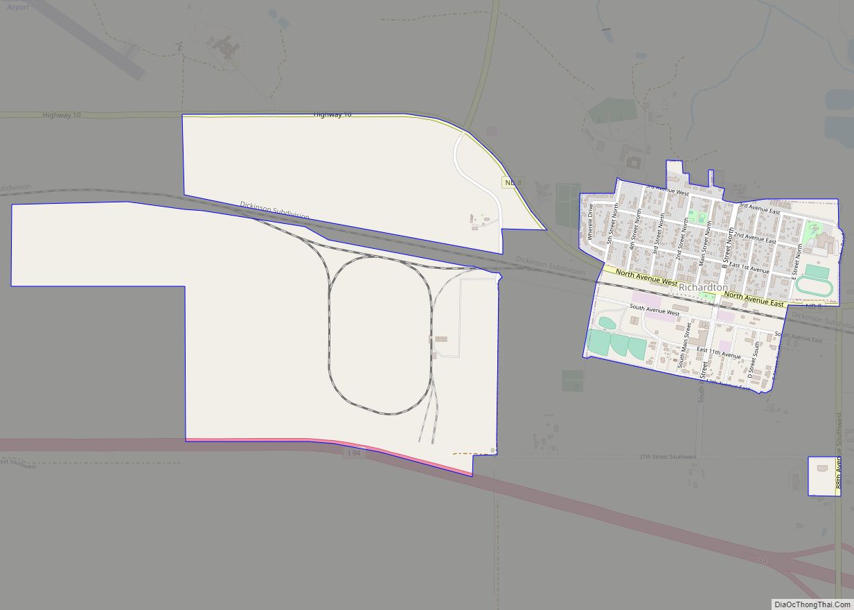
Major highways
- Interstate 94
- U.S. Highway 85
- North Dakota Highway 8
- North Dakota Highway 22
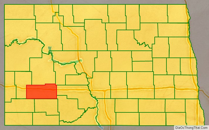
Adjacent counties
- Dunn County – north/Central Time in the north part of the county
- Mercer County – northeast/Central Time
- Morton County – east/Central Time
- Grant County – southeast/Central Time
- Hettinger County – south
- Slope County – southwest
- Billings County – west
Lakes
- Abbey Lake
- Patterson Lake
Stark County Topographic Map
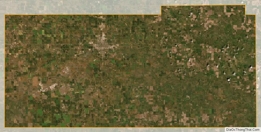
Stark County Satellite Map
Stark County Outline Map