Amidon (/ˈæmɪdɒn/ AM-i-don) is a city in, and the county seat of Slope County, North Dakota, United States.
Amidon was the smallest incorporated county seat at the 2000 census. When the 2020 census reported its population as 24, it became the second-smallest incorporated county seat after Brewster, Nebraska, with a population of 17. In 2000, Amidon had 26 people to Brewster’s 29.
There are two other unincorporated county seats that are smaller: Mentone, Texas (population 19), the county seat of Loving County, and Gann Valley, South Dakota (population 14), the county seat of Buffalo County, South Dakota.
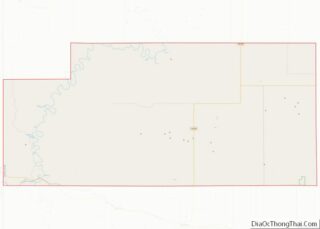
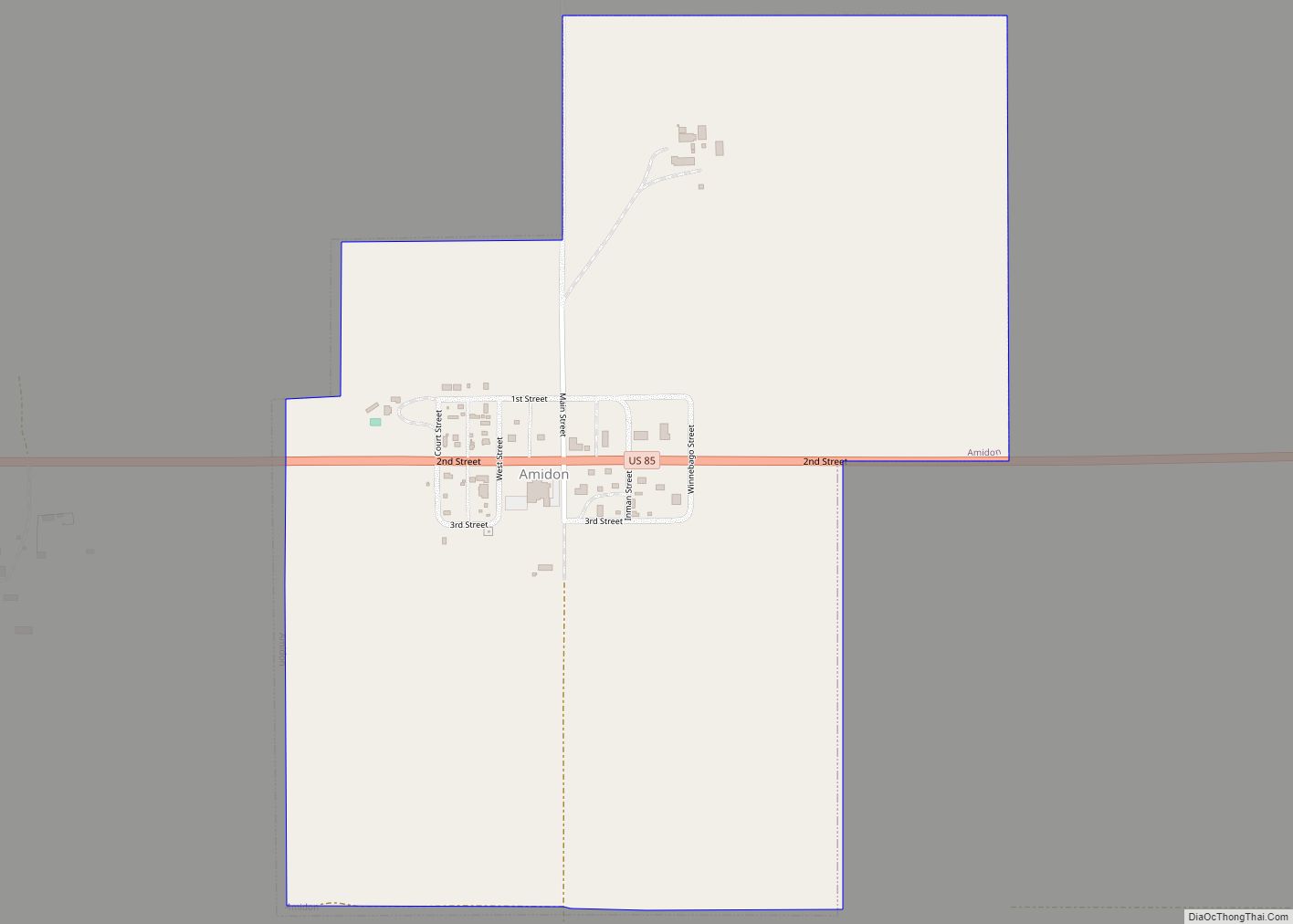
Located on U.S. 85 approximately 31 miles (50 km) north of Bowman, it is the closest city to White Butte.
| Name: | Amidon city |
|---|---|
| LSAD Code: | 25 |
| LSAD Description: | city (suffix) |
| State: | North Dakota |
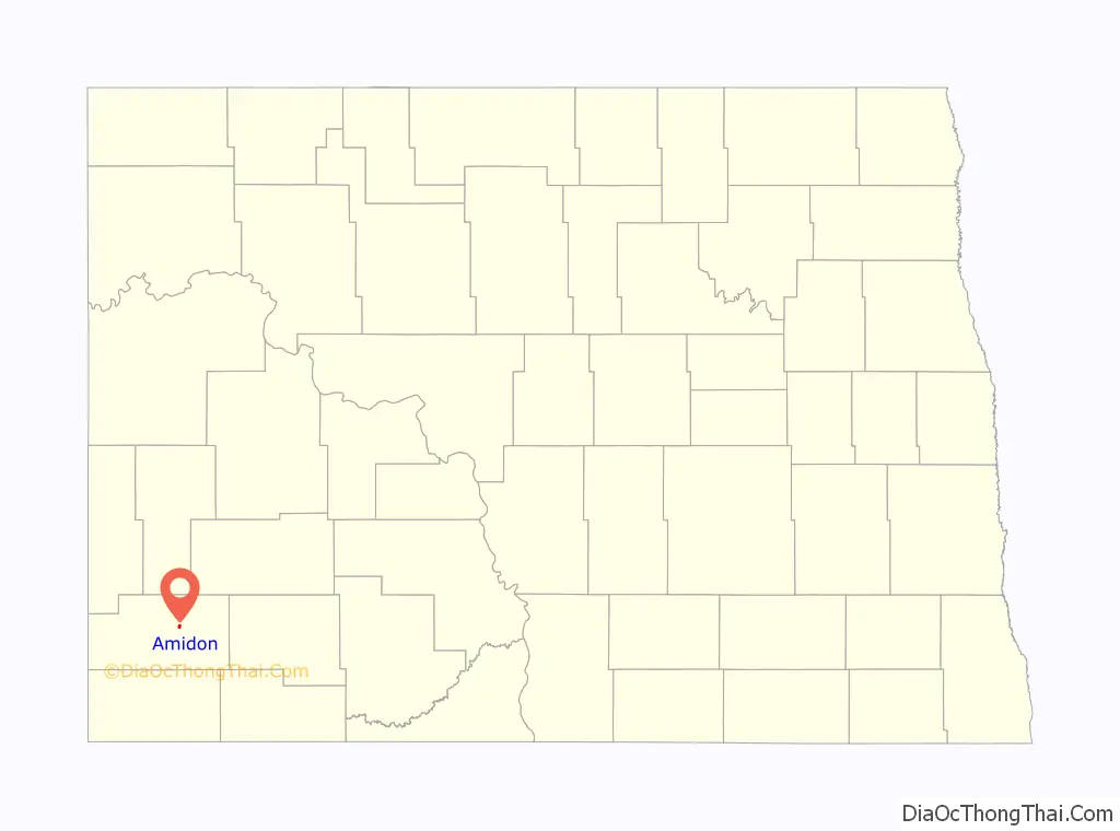
| County: | Slope County |
| Founded: | 1910 |
| Elevation: | 2,904 ft (885 m) |
| Total Area: | 0.63 sq mi (1.62 km²) |
| Land Area: | 0.63 sq mi (1.62 km²) |
| Water Area: | 0.00 sq mi (0.00 km²) |
| Total Population: | 24 |
| Population Density: | 38.28/sq mi (14.78/km²) |
| ZIP code: | 58620 |
| Area code: | 701 |
| FIPS code: | 3802060 |
| GNISfeature ID: | 1034682 |
Online Interactive Map
Click on ![]() to view map in "full screen" mode.
to view map in "full screen" mode.
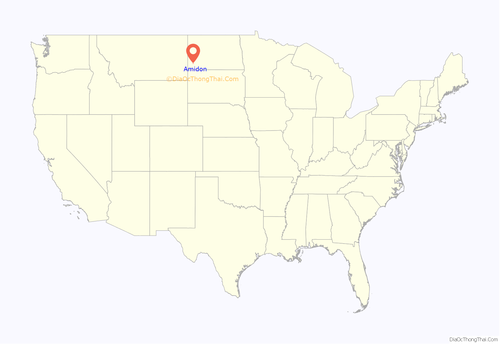
Amidon location map. Where is Amidon city?
History
Amidon was founded in 1910 at the anticipated terminus of a Milwaukee Road branch line that diverged from the railroad’s Pacific Extension in McLaughlin, South Dakota. The line was ultimately never built farther west of New England, North Dakota, making Amidon one of the few surviving North Dakota cities never to have been served by a rail line. The original county courthouse was built in 1915. It was also the last county seat in the state to get electricity when Slope Electric Cooperative extended their distribution lines into Amidon in 1950.
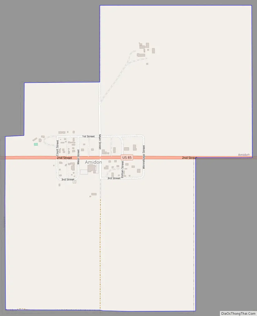
Amidon Road Map
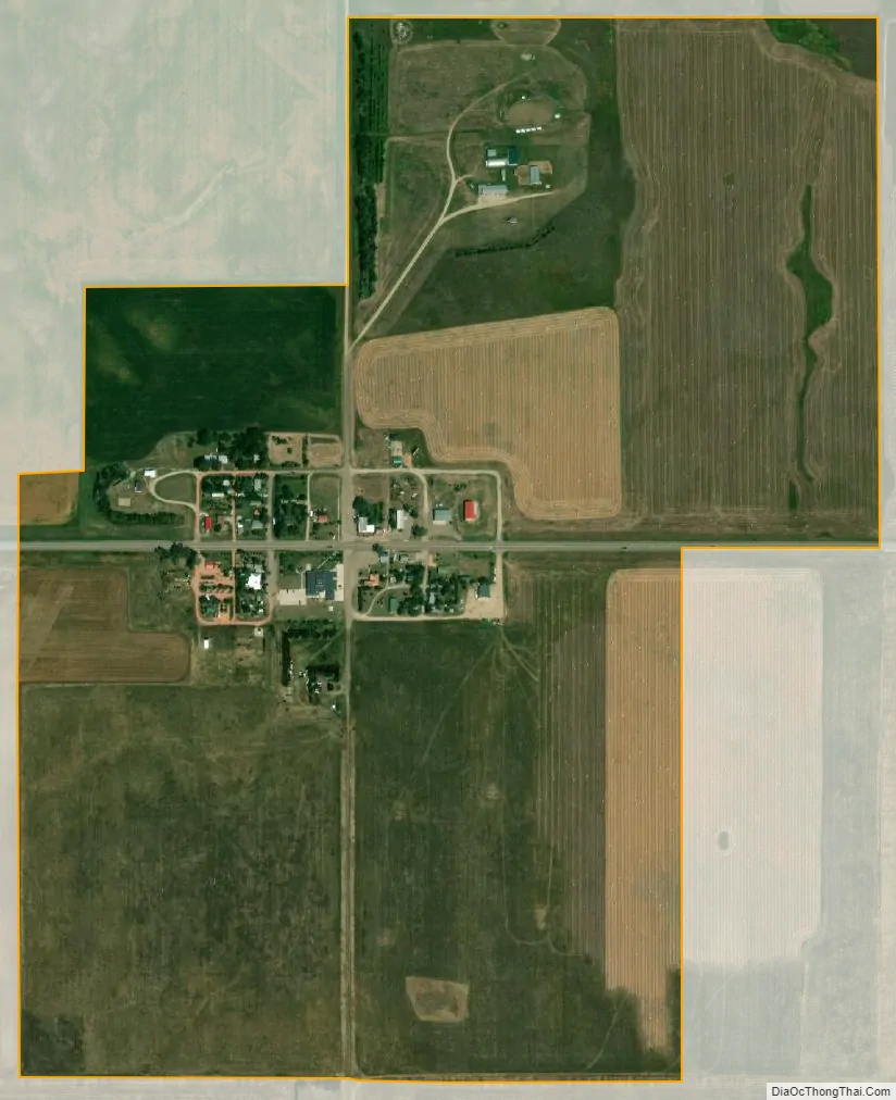
Amidon city Satellite Map
Geography
Amidon is located at 46°28′59″N 103°19′20″W / 46.48306°N 103.32222°W / 46.48306; -103.32222 (46.483042, -103.322251).
According to the United States Census Bureau, the city has a total area of 0.64 square miles (1.66 km), all land.
See also
Map of North Dakota State and its subdivision:- Adams
- Barnes
- Benson
- Billings
- Bottineau
- Bowman
- Burke
- Burleigh
- Cass
- Cavalier
- Dickey
- Divide
- Dunn
- Eddy
- Emmons
- Foster
- Golden Valley
- Grand Forks
- Grant
- Griggs
- Hettinger
- Kidder
- Lamoure
- Logan
- McHenry
- McIntosh
- McKenzie
- McLean
- Mercer
- Morton
- Mountrail
- Nelson
- Oliver
- Pembina
- Pierce
- Ramsey
- Ransom
- Renville
- Richland
- Rolette
- Sargent
- Sheridan
- Sioux
- Slope
- Stark
- Steele
- Stutsman
- Towner
- Traill
- Walsh
- Ward
- Wells
- Williams
- Alabama
- Alaska
- Arizona
- Arkansas
- California
- Colorado
- Connecticut
- Delaware
- District of Columbia
- Florida
- Georgia
- Hawaii
- Idaho
- Illinois
- Indiana
- Iowa
- Kansas
- Kentucky
- Louisiana
- Maine
- Maryland
- Massachusetts
- Michigan
- Minnesota
- Mississippi
- Missouri
- Montana
- Nebraska
- Nevada
- New Hampshire
- New Jersey
- New Mexico
- New York
- North Carolina
- North Dakota
- Ohio
- Oklahoma
- Oregon
- Pennsylvania
- Rhode Island
- South Carolina
- South Dakota
- Tennessee
- Texas
- Utah
- Vermont
- Virginia
- Washington
- West Virginia
- Wisconsin
- Wyoming