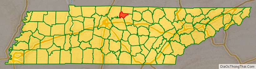
Trousdale County, also known as Hartsville/Trousdale County, is a county in the U.S. state of Tennessee. As of the 2020 census, the population was 11,615. Its county seat is Hartsville, with which it shares a uniquely formed consolidated city-county government. With an area of just 117 square miles (300 km), it is Tennessee’s smallest county.
Trousdale County is part of the Nashville-Davidson–Murfreesboro–Franklin, TN Metropolitan Statistical Area, although it is located just beyond the ring of “bedroom communities” in the Nashville metropolitan area. Farming and livestock-raising characterize this largely rural area.
Hartsville is the county seat of Trousdale County and now coextensive with it as a metropolitan government by virtue of a referendum which passed in Trousdale County by a single vote. Trousdale County High School is located here, as well as a technical school operated by the Tennessee Board of Regents. Trousdale County is one of two counties in Tennessee to have legalized parimutuel betting on horse racing, but no group has ever stepped forward to build a racetrack.
In 2016, Corrections Corporation of America (since renamed CoreCivic) opened the Trousdale Turner Correctional Center in Hartsville. Its approximately 2,500 prisoners comprise over a fifth of the county’s residents and nearly 12% of Tennessee state prisoners. The prison became a hot spot for COVID-19 cases during the COVID-19 pandemic, giving the county the highest incidence rate in the U.S. in May 2020, with 1 in 7 residents known to be infected with coronavirus.
| Name: | Trousdale County |
|---|---|
| FIPS code: | 47-169 |
| State: | Tennessee |
| Founded: | September 5, 1870 |
| Named for: | William Trousdale |
| Seat: | Hartsville |
| Largest town: | Hartsville |
| Total Area: | 117 sq mi (300 km²) |
| Land Area: | 114 sq mi (300 km²) |
| Total Population: | 11,615 |
| Population Density: | 69/sq mi (27/km²) |
| Time zone: | UTC−6 (Central) |
| Summer Time Zone (DST): | UTC−5 (CDT) |
| Website: | www.trousdalecountytn.gov |
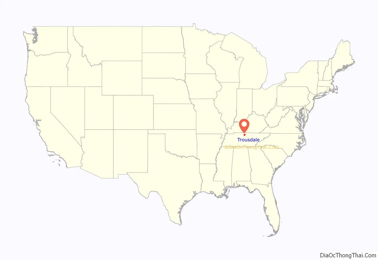
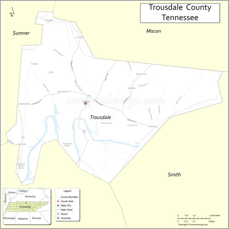
Trousdale County location map. Where is Trousdale County?
History
Trousdale County was formed in 1870 from parts of Macon, Smith, Sumner and Wilson counties. It was named for William Trousdale (1790–1872), Brigadier General in the Mexican War, Governor of Tennessee, 1849–1851, and U.S. Minister to Brazil, 1853–1857. Hartsvillians had initially sought the creation of their own, separate county in 1849, but the effort failed.
On December 7, 1862, The Battle of Hartsville occurred within the boundaries of the county (although Trousdale County was not officially a county until 1870), with the Confederate forces under John Hunt Morgan defeating the Union forces of Absalom B. Moore in a surprise attack on their campsite. Morgan captured most of the Union forces and marched them South to Lebanon, Tennessee.
In the early part of the 20th century, a series of floods left the county seat devastated, with some floodwaters reaching flood stage of nine to twelve feet. There are photographs showing residents of the county canoeing in front of the flooded courthouse. During the Second World War, American infantry often trained in Trousdale County, simulating battles and participating in minor war games on the countryside owned by local farmers. After the war, the county flourished with the railroad running through the county. However, after the trains stopped running through the county, business slowed and suffered economically.
In 2020, an outbreak of COVID-19 at the Trousdale Turner Correctional Center, a privately operated prison, made Trousdale County the county with the highest per capita infection rate in the United States as of May 5, 2020. As of May 8, 1,284 prisoners at Trousdale had tested positive for the coronavirus, as had 50 employees and contractors at the facility.
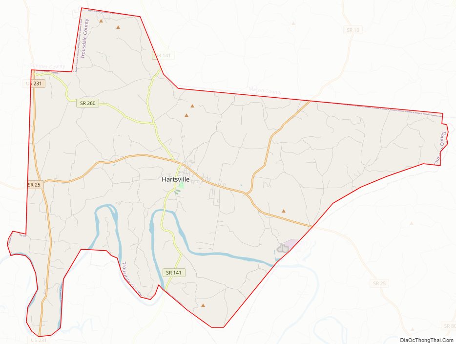
Trousdale County Road Map
Geography
According to the U.S. Census Bureau, the county has a total area of 117 square miles (300 km), of which 114 square miles (300 km) is land and 2.5 square miles (6.5 km) (2.1%) is water. It is the smallest county by area in Tennessee.
Adjacent counties
- Macon County (north)
- Smith County (east)
- Wilson County (south)
- Sumner County (west)
State protected areas
- Old Hickory Wildlife Management Area (part)
Highways
- US 231
- SR 10
- SR 25
- SR 141
- SR 260
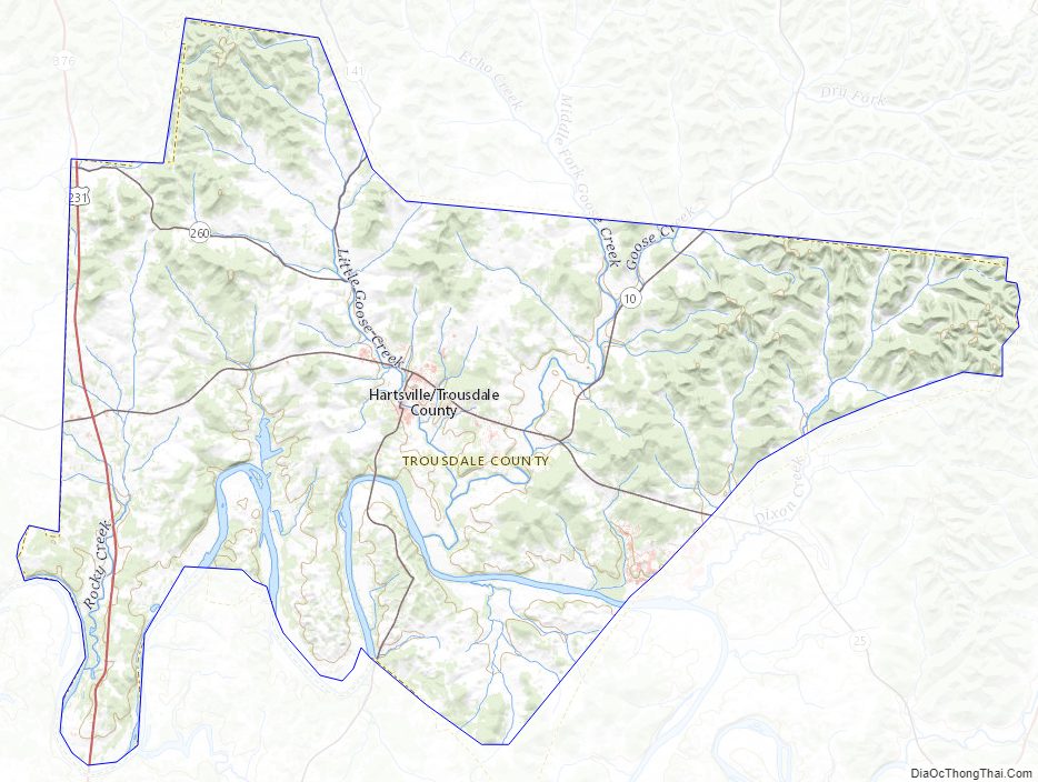
Trousdale County Topographic Map
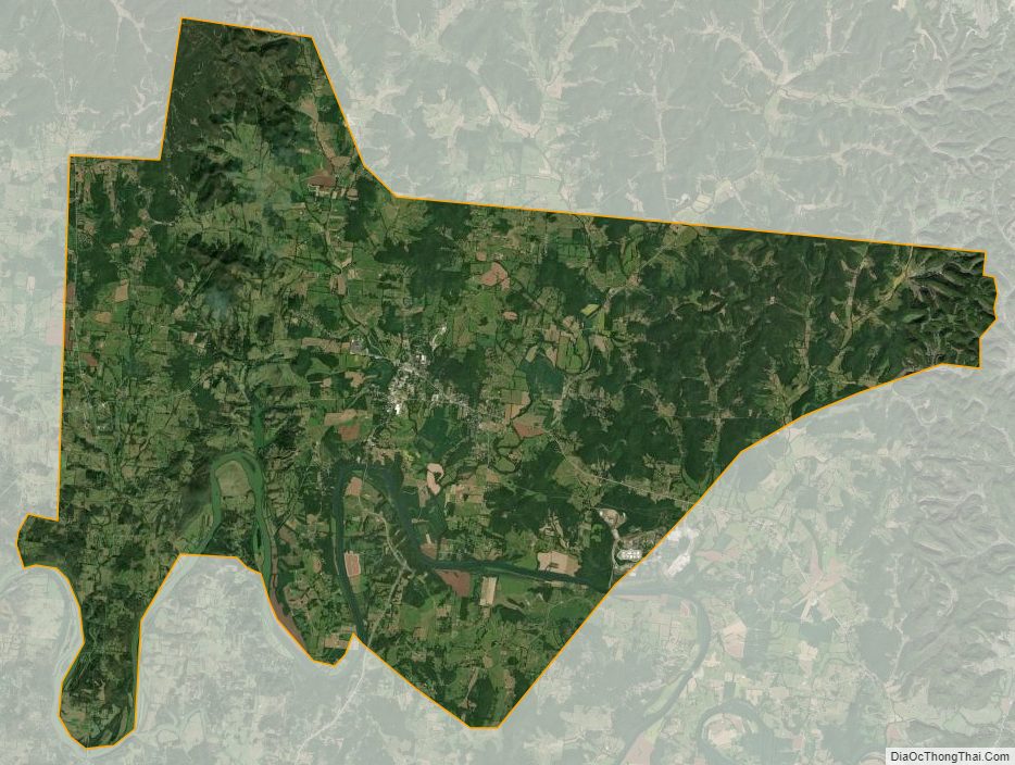
Trousdale County Satellite Map
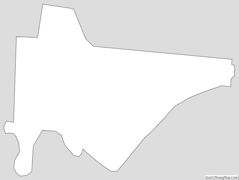
Trousdale County Outline Map