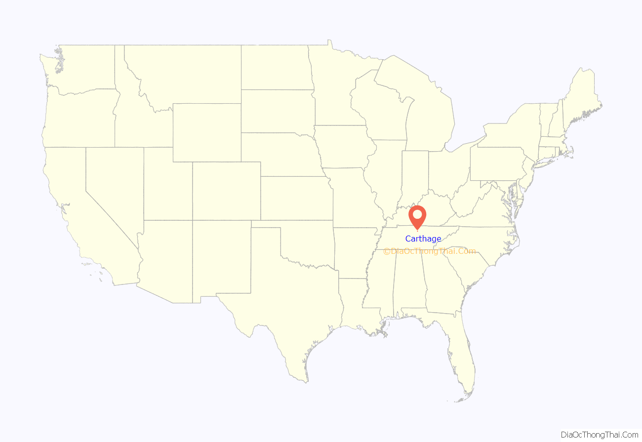
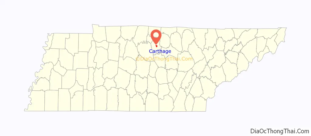
Carthage is a town in and the county seat of Smith County, Tennessee, United States; it is part of the Nashville Metropolitan Statistical Area. The population was 2,306 at the 2010 census. It is located on the Cumberland River, which was important to its early development. It is likely best known as the hometown of former Vice President and Senator Al Gore of the Democratic Party and his father, Senator Albert Gore, Sr. The younger Gore announced his 1988 and 2000 presidential bids, as well as his 1992 vice-presidential bid, from the steps of the Smith County Courthouse.
| Name: | Carthage town |
|---|---|
| LSAD Code: | 43 |
| LSAD Description: | town (suffix) |
| State: | Tennessee |
| County: | Smith County |
| Incorporated: | 1804 |
| Elevation: | 515 ft (157 m) |
| Total Area: | 2.90 sq mi (7.52 km²) |
| Land Area: | 2.90 sq mi (7.52 km²) |
| Water Area: | 0.00 sq mi (0.00 km²) |
| Total Population: | 2,291 |
| Population Density: | 789.46/sq mi (304.78/km²) |
| ZIP code: | 37030 |
| Area code: | 615 |
| FIPS code: | 4711280 |
| GNISfeature ID: | 1279827 |
| Website: | townofcarthagetn.com |
Online Interactive Map
Click on ![]() to view map in "full screen" mode.
to view map in "full screen" mode.
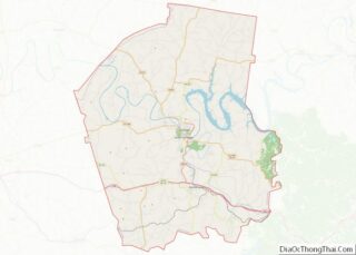
Carthage location map. Where is Carthage town?
History
The earliest known European-American settler in what is now Carthage was William Walton (1760–1816), who arrived in the late 1780s after the United States achieved independence in the American Revolutionary War. Circa 1800, Walton directed the construction of the Walton Road (Cumberland Turnpike), an early stagecoach route connecting the Knoxville area in the east with Middle Tennessee. The road, which was roughly paralleled later by the construction of what is now U.S. 70, was influential to the development and early settlement of the Cumberland region. Walton operated a ferry across the Cumberland River and a tavern nearby along the road, around which a small community developed. In 1804, Walton’s community was chosen as the county seat of the newly formed Smith County after a heated election, and the town of Carthage was laid out shortly thereafter.
Carthage’s location at the confluence of the Caney Fork and Cumberland rivers made it an important shipping and steamboat port throughout the first half of the 19th century. The area was developed for tobacco and hemp crops, as well as blooded livestock. Goods were shipped downstream to Nashville. During the Civil War, Carthage became an important post in the Eastern Highland Rim area of Tennessee. Carthage was selected as part of the route Confederate General Braxton Bragg marched the Army of Mississippi through on his Confederate Heartland Offensive into Kentucky. Later on March 6, 1863, Union Brigadier General George Crook established a Union outpost in Carthage to serve as a base for his effort to clear out the considerable Confederate guerrilla insurgency from East Tennessee through Middle Tennessee.
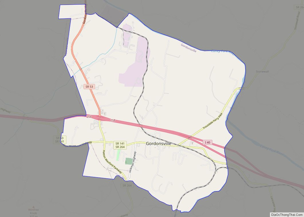
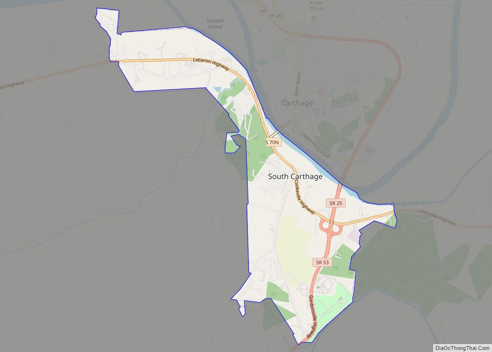
Carthage’s prominence as a river port on the Cumberland River was superseded after the railroads replaced river traffic in the later 19th century. The area’s industrial focus shifted to South Carthage and Gordonsville.
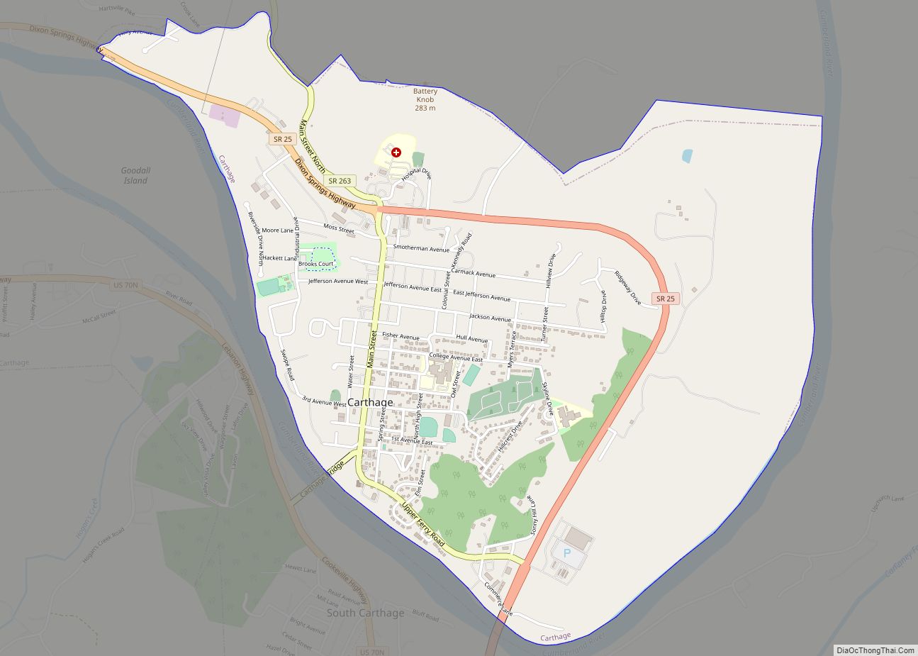
Carthage Road Map
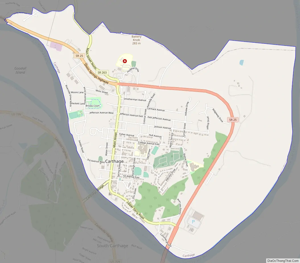
Carthage city Satellite Map

Geography
Carthage is located at 36°15′18″N 85°56′57″W / 36.25500°N 85.94917°W / 36.25500; -85.94917 (36.254960, -85.949211). The town is situated amid a series of low hills at the confluence of the Caney Fork with the Cumberland River, and just southwest of the latter’s Cordell Hull Lake impoundment. South Carthage is located along the opposite bank of the Cumberland to the south.
U.S. Route 70 passes east-to-west through South Carthage, connecting the area with Nashville to the west and Cookeville to the east. State Route 53 connects U.S. 70 with Gordonsville and Interstate 40 to the south. State Route 25 connects Carthage with Trousdale County and north-central Tennessee to the northwest, and State Route 80 connects the town with Macon County to the north.
According to the United States Census Bureau, the town has a total area of 2.9 square miles (7.5 km), all land.
See also
Map of Tennessee State and its subdivision:- Anderson
- Bedford
- Benton
- Bledsoe
- Blount
- Bradley
- Campbell
- Cannon
- Carroll
- Carter
- Cheatham
- Chester
- Claiborne
- Clay
- Cocke
- Coffee
- Crockett
- Cumberland
- Davidson
- Decatur
- DeKalb
- Dickson
- Dyer
- Fayette
- Fentress
- Franklin
- Gibson
- Giles
- Grainger
- Greene
- Grundy
- Hamblen
- Hamilton
- Hancock
- Hardeman
- Hardin
- Hawkins
- Haywood
- Henderson
- Henry
- Hickman
- Houston
- Humphreys
- Jackson
- Jefferson
- Johnson
- Knox
- Lake
- Lauderdale
- Lawrence
- Lewis
- Lincoln
- Loudon
- Macon
- Madison
- Marion
- Marshall
- Maury
- McMinn
- McNairy
- Meigs
- Monroe
- Montgomery
- Moore
- Morgan
- Obion
- Overton
- Perry
- Pickett
- Polk
- Putnam
- Rhea
- Roane
- Robertson
- Rutherford
- Scott
- Sequatchie
- Sevier
- Shelby
- Smith
- Stewart
- Sullivan
- Sumner
- Tipton
- Trousdale
- Unicoi
- Union
- Van Buren
- Warren
- Washington
- Wayne
- Weakley
- White
- Williamson
- Wilson
- Alabama
- Alaska
- Arizona
- Arkansas
- California
- Colorado
- Connecticut
- Delaware
- District of Columbia
- Florida
- Georgia
- Hawaii
- Idaho
- Illinois
- Indiana
- Iowa
- Kansas
- Kentucky
- Louisiana
- Maine
- Maryland
- Massachusetts
- Michigan
- Minnesota
- Mississippi
- Missouri
- Montana
- Nebraska
- Nevada
- New Hampshire
- New Jersey
- New Mexico
- New York
- North Carolina
- North Dakota
- Ohio
- Oklahoma
- Oregon
- Pennsylvania
- Rhode Island
- South Carolina
- South Dakota
- Tennessee
- Texas
- Utah
- Vermont
- Virginia
- Washington
- West Virginia
- Wisconsin
- Wyoming