Smyth County is a county located in the U.S. state of Virginia. As of the 2020 census, the population was 29,800. Its county seat is Marion.
| Name: | Smyth County |
|---|---|
| FIPS code: | 51-173 |
| State: | Virginia |
| Founded: | 1832 |
| Named for: | Alexander Smyth |
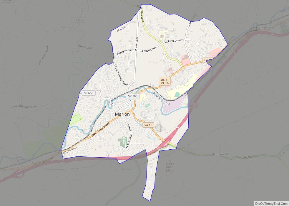
| Seat: | Marion |
| Largest town: | Marion |
| Total Area: | 452 sq mi (1,170 km²) |
| Land Area: | 451 sq mi (1,170 km²) |
| Total Population: | 29,800 |
| Population Density: | 66/sq mi (25/km²) |
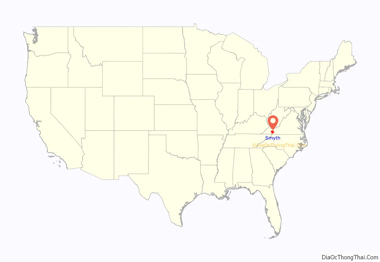
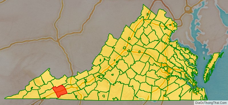
Smyth County location map. Where is Smyth County?
History
Smyth County was formed on February 23, 1832, from Washington and Wythe counties. The county is named after Alexander Smyth, a general during the War of 1812 who was elected to the state Senate, House of Delegates, and as a Representative to the United States Congress.
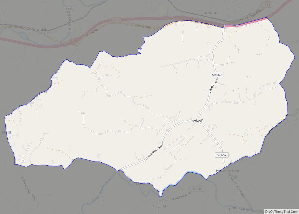
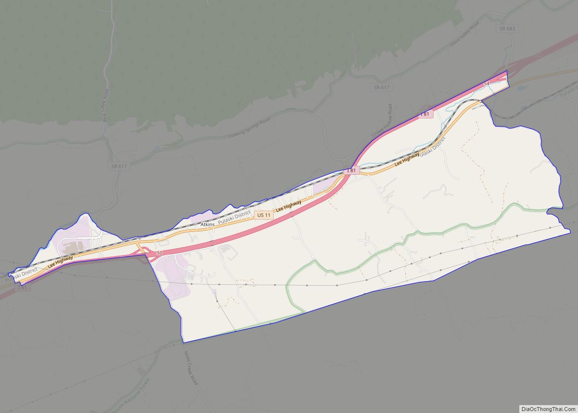
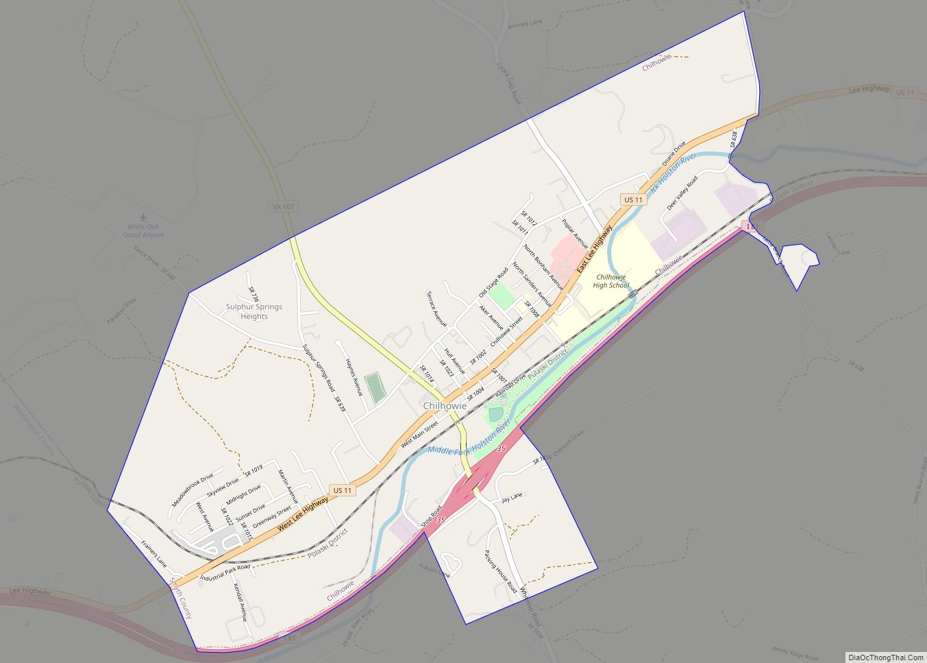
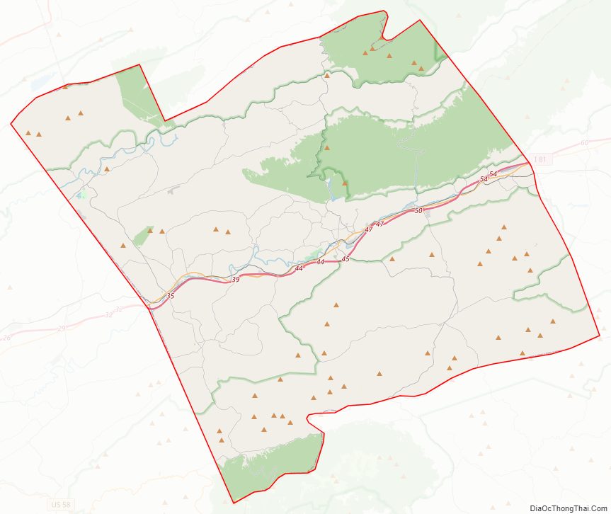
Smyth County Road Map
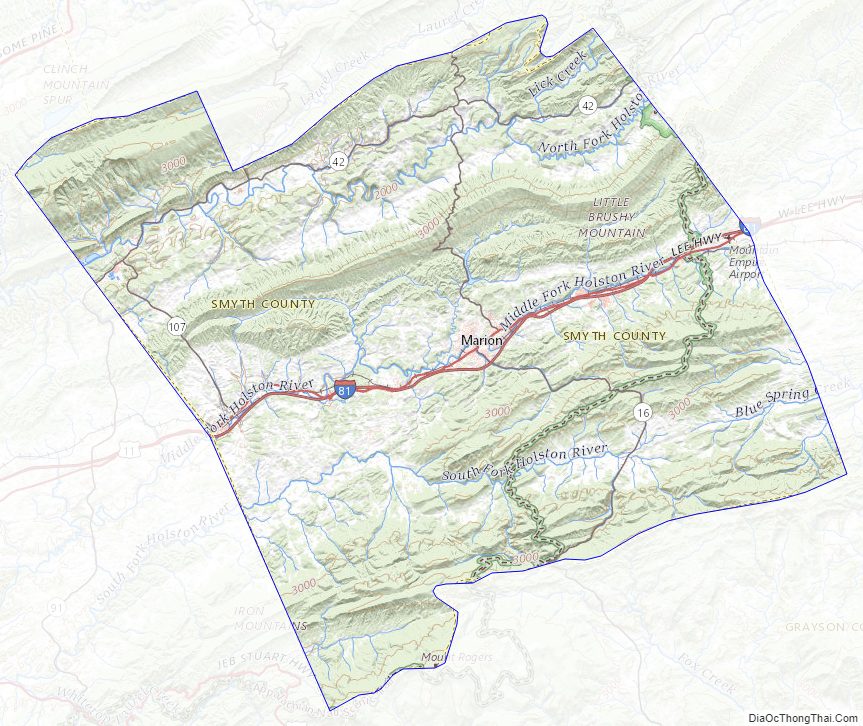
Geography
According to the U.S. Census Bureau, the county has a total area of 452 square miles (1,170 km), of which 451 square miles (1,170 km) is land and 1.4 square miles (3.6 km) (0.3%) is water.
Adjacent counties
- Russell County – northwest
- Tazewell County – north
- Bland County – northeast
- Wythe County – east
- Grayson County – south
- Washington County – southwest
National protected areas
- Jefferson National Forest (part)
- Mount Rogers National Recreation Area (part)
Major highways
- I-81
- US 11
- SR 16
- SR 42
- SR 91
- SR 107
Smyth County Topographic Map
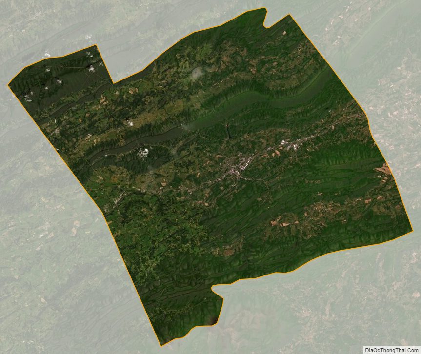
Smyth County Satellite Map
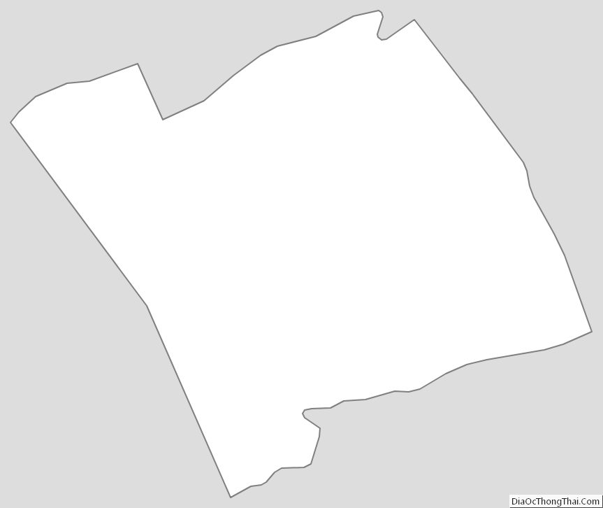
Smyth County Outline Map