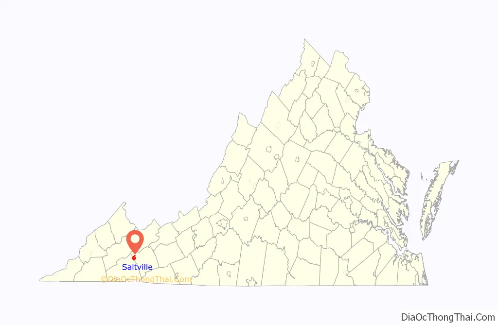
Saltville is a town in Smyth and Washington counties in the U.S. state of Virginia. The population was 2,077 at the 2010 census. It is part of the Kingsport–Bristol (TN)–Bristol (VA) Metropolitan Statistical Area, which is a component of the Johnson City–Kingsport–Bristol, TN-VA Combined Statistical Area – commonly known as the “Tri-Cities” region.
| Name: | Saltville town |
|---|---|
| LSAD Code: | 43 |
| LSAD Description: | town (suffix) |
| State: | Virginia |
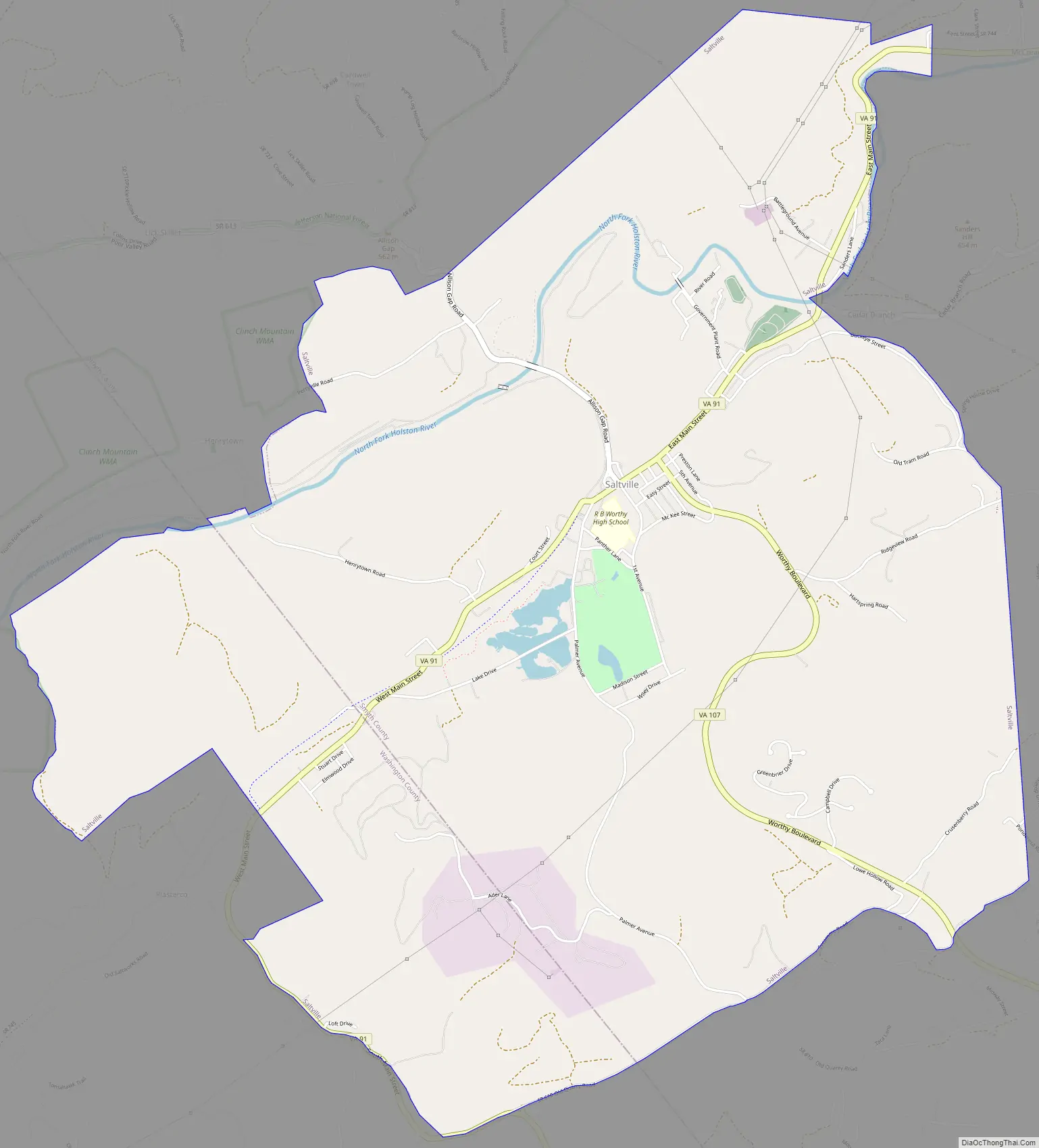
| County: | Smyth County, Washington County |
| Elevation: | 1,726 ft (526 m) |
| Total Area: | 8.13 sq mi (21.06 km²) |
| Land Area: | 8.02 sq mi (20.76 km²) |
| Water Area: | 0.11 sq mi (0.29 km²) .49% |
| Total Population: | 2,077 |
| Population Density: | 237.15/sq mi (91.56/km²) |
| ZIP code: | 24370 |
| Area code: | 276 |
| FIPS code: | 5170096 |
| GNISfeature ID: | 1486913 |
| Website: | http://www.saltville.org/ |
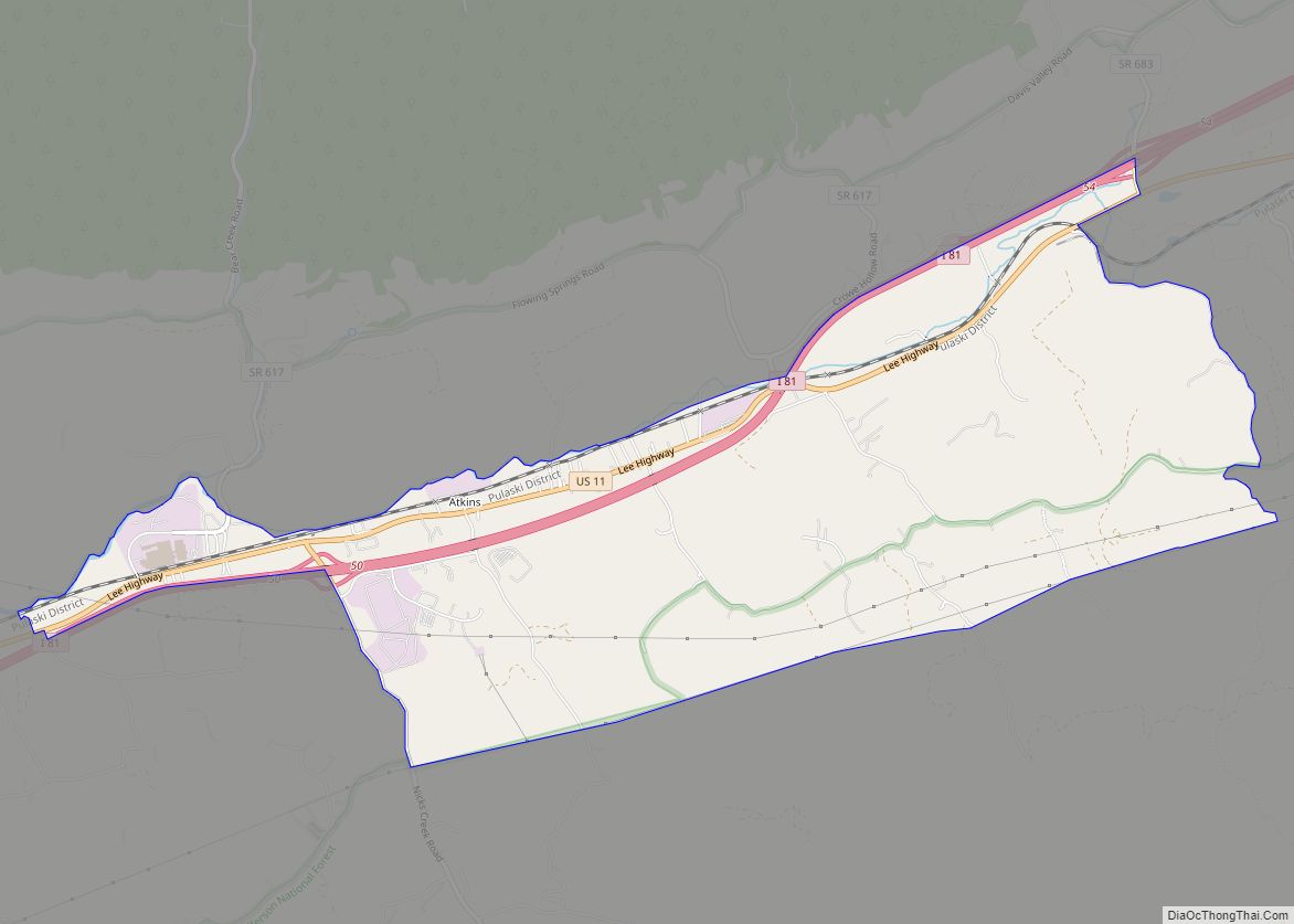
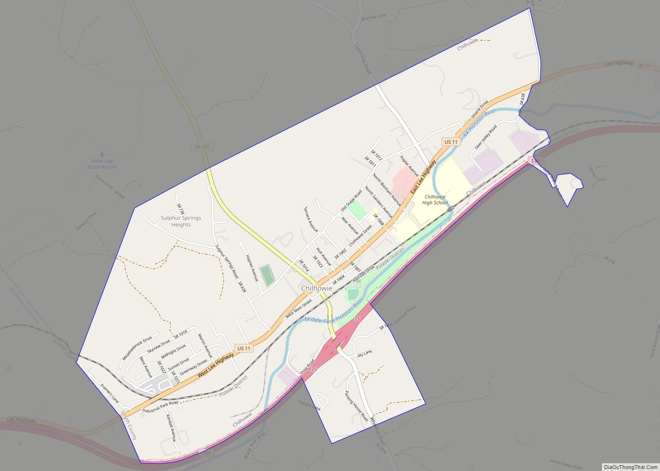
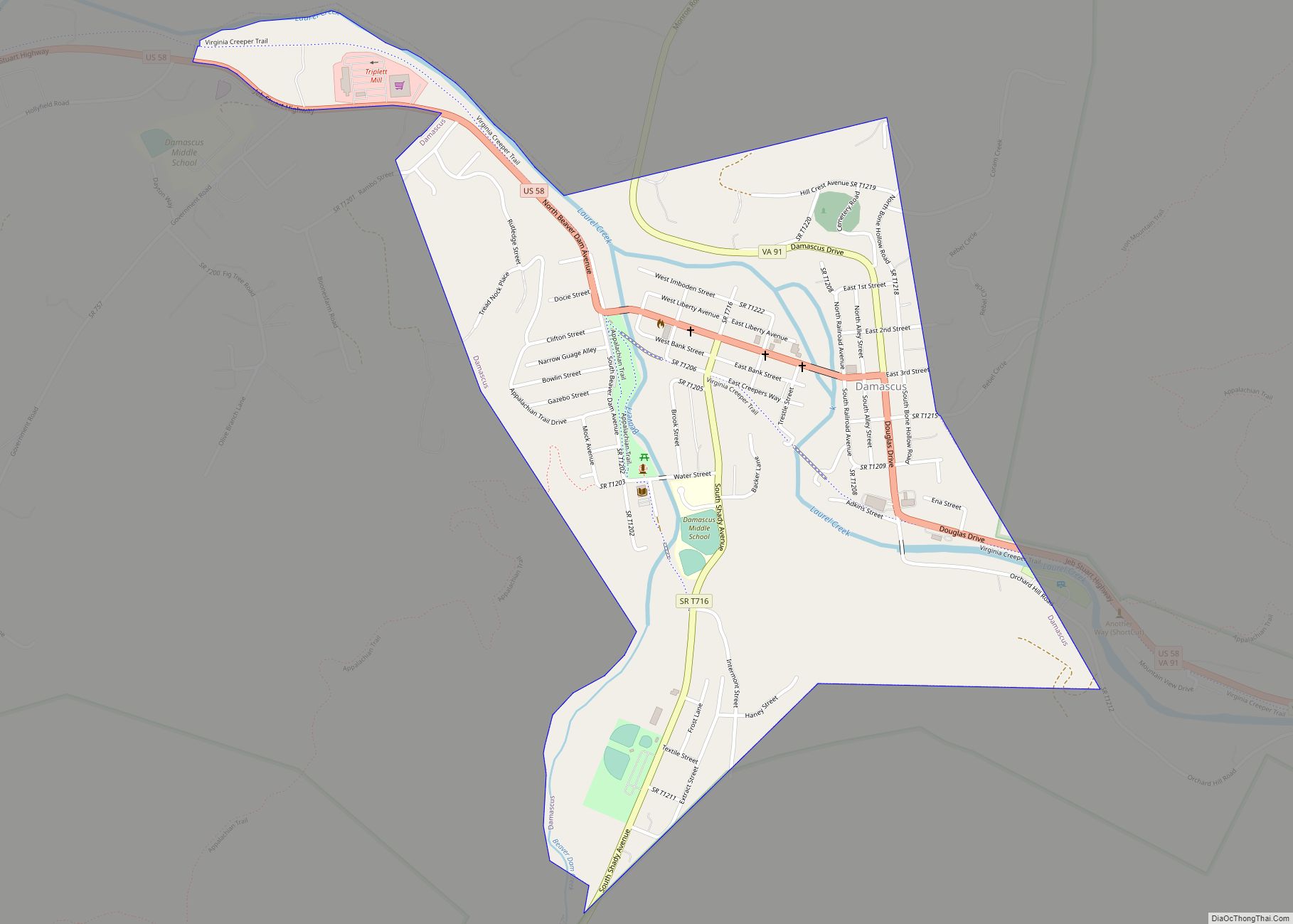
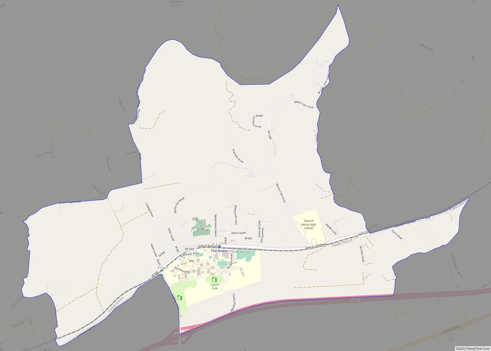
Online Interactive Map
Click on ![]() to view map in "full screen" mode.
to view map in "full screen" mode.
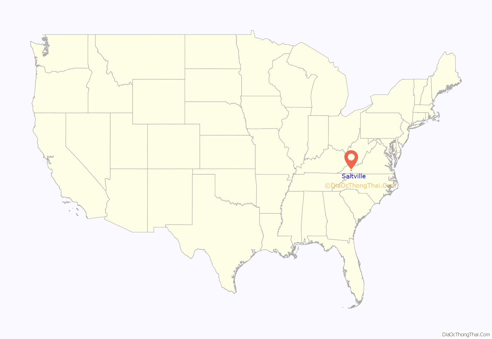
Saltville location map. Where is Saltville town?
History
Saltville was named for the salt marshes in the area. Prior to European settlement, these marshes attracted local wildlife. Excavations at the SV-2 archaeological site in the area have recovered several well preserved skeletons of now extinct species dating back to the last ice age. Indigenous peoples of varying cultures hunted at the marshes. The historic Native American people in the area were the Chisca.
Archaeologists in 1992 proposed the existence of a prehistoric “Saltville Complex Petty Chiefdom”, with a paramount village located at the Northwood High School site, 44SM8. They reported “Saltville style gorgets” as well as iron and copper materials, scattered across the region.
During the spring of 1567, Spanish conquistador Hernando Moyano de Morales led a force of 15-20 soldiers northward from Fort San Juan in Joara, a city in what is now western North Carolina. The force attacked and burned the Chisca village of Maniatique, which may have been located at or near the site of Saltville.
During the American Civil War, Saltville was one of the Confederacy’s main saltworks. The saltworks were considered vital to the Confederate war effort because the salt was used in preserving meat for Confederate soldiers and civilians. Because of its importance, the town was attacked by Northern forces intent on destroying the saltworks. On October 2, 1864, the First Battle of Saltville was fought there. In the battle Union forces attacked Saltville but were defeated by Confederate troops. Following the battle a number of wounded black troops were murdered in what was dubbed the “Saltville Massacre.” (Shortly after the war Champ Ferguson was tried, convicted, and executed for war crimes for this and other killings.)
Two months later General George Stoneman, a Union cavalry commander, led a second attack on the saltworks (known as the Second Battle of Saltville). This time the Confederates were defeated and the saltworks were destroyed by Union troops. The loss of the Saltville works was considered a major blow to the Confederacy’s dwindling resources.
Preston House, Saltville Battlefields Historic District, Saltville Historic District, and the Scott-Walker House are listed on the National Register of Historic Places.
Hydrazine rocket fuel made by Olin Mathieson Chemical Corporation’s plant in Saltville was used to power the rocket that took the first humans to the moon in the Apollo 11 mission.
Muck Dam collapse
Saltville was the location of the infamous “Muck Dam” break on December 24, 1924, which allowed the release of a huge volume of liquid chemical waste (stored there by the Mathieson Alkali Company) into the north fork of the Holston River taking the lives of nineteen people who lived along the river. The river remained polluted and virtually dead for several decades afterward.
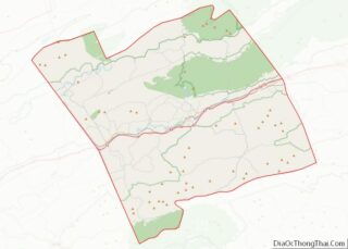
Saltville Road Map
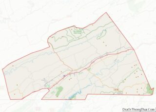
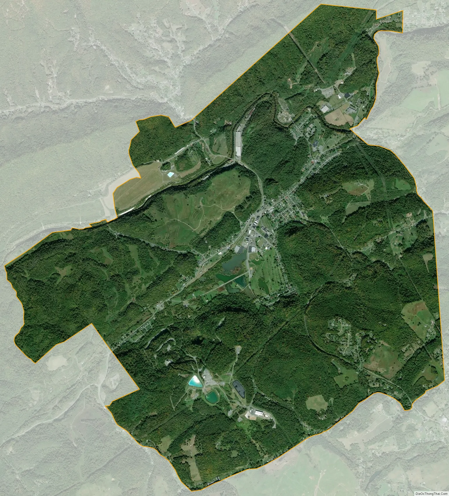
Saltville city Satellite Map
Geography
According to the United States Census Bureau, the town has a total area of 8.1 square miles (21.0 km), of which, 8.1 square miles (20.8 km) of it is land and 0.04 square miles (0.1 km) of it (0.49%) is water.
The salt caverns in Saltville, Virginia are used for natural gas storage, the only one to serve the Mid-Atlantic states. The cavern type in Saltville is considered the best for this purpose because the gas can be injected and removed quickly to meet immediate demand.
Climate
Climate in this area has mild differences between highs and lows, and there is adequate rainfall year-round. The Köppen Climate Classification subtype for this climate is “Cfb”. (Marine West Coast Climate/Oceanic climate).
See also
Map of Virginia State and its subdivision:- Accomack
- Albemarle
- Alexandria
- Alleghany
- Amelia
- Amherst
- Appomattox
- Arlington
- Augusta
- Bath
- Bedford
- Bedford City
- Bland
- Botetourt
- Bristol
- Brunswick
- Buchanan
- Buckingham
- Buena Vista
- Campbell
- Caroline
- Carroll
- Charles City
- Charlotte
- Charlottesville
- Chesapeake
- Chesterfield
- Clarke
- Clifton Forge City
- Colonial Heights
- Covington
- Craig
- Culpeper
- Cumberland
- Danville
- Dickenson
- Dinwiddie
- Emporia
- Essex
- Fairfax
- Fairfax City
- Falls Church
- Fauquier
- Floyd
- Fluvanna
- Franklin
- Frederick
- Fredericksburg
- Galax
- Giles
- Gloucester
- Goochland
- Grayson
- Greene
- Greensville
- Halifax
- Hampton
- Hanover
- Harrisonburg
- Henrico
- Henry
- Highland
- Hopewell
- Isle of Wight
- James City
- King and Queen
- King George
- King William
- Lancaster
- Lee
- Lexington
- Loudoun
- Louisa
- Lunenburg
- Lynchburg
- Madison
- Manassas
- Manassas Park
- Martinsville
- Mathews
- Mecklenburg
- Middlesex
- Montgomery
- Nelson
- New Kent
- Newport News
- Norfolk
- Northampton
- Northumberland
- Norton
- Nottoway
- Orange
- Page
- Patrick
- Petersburg
- Pittsylvania
- Poquoson
- Portsmouth
- Powhatan
- Prince Edward
- Prince George
- Prince William
- Pulaski
- Radford
- Rappahannock
- Richmond
- Roanoke
- Roanoke City
- Rockbridge
- Rockingham
- Russell
- Salem
- Scott
- Shenandoah
- Smyth
- Southampton
- Spotsylvania
- Stafford
- Staunton
- Suffolk
- Surry
- Sussex
- Tazewell
- Virginia Beach
- Warren
- Washington
- Waynesboro
- Westmoreland
- Williamsburg
- Winchester
- Wise
- Wythe
- York
- Alabama
- Alaska
- Arizona
- Arkansas
- California
- Colorado
- Connecticut
- Delaware
- District of Columbia
- Florida
- Georgia
- Hawaii
- Idaho
- Illinois
- Indiana
- Iowa
- Kansas
- Kentucky
- Louisiana
- Maine
- Maryland
- Massachusetts
- Michigan
- Minnesota
- Mississippi
- Missouri
- Montana
- Nebraska
- Nevada
- New Hampshire
- New Jersey
- New Mexico
- New York
- North Carolina
- North Dakota
- Ohio
- Oklahoma
- Oregon
- Pennsylvania
- Rhode Island
- South Carolina
- South Dakota
- Tennessee
- Texas
- Utah
- Vermont
- Virginia
- Washington
- West Virginia
- Wisconsin
- Wyoming