Taylorsville is a home rule-class city in Spencer County, Kentucky, United States. It is the county seat of Spencer County. As of the 2010 census, the city had a total population of 763 and was estimated at 1,275 in 2018. It was incorporated in 1829.
| Name: | Taylorsville city |
|---|---|
| LSAD Code: | 25 |
| LSAD Description: | city (suffix) |
| State: | Kentucky |
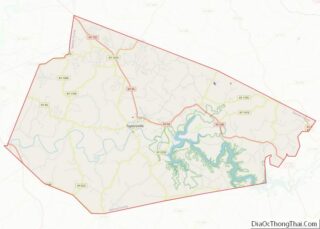
| County: | Spencer County |
| Elevation: | 492 ft (150 m) |
| Total Area: | 0.91 sq mi (2.36 km²) |
| Land Area: | 0.91 sq mi (2.36 km²) |
| Water Area: | 0.00 sq mi (0.00 km²) |
| Total Population: | 1,256 |
| Population Density: | 1,381.74/sq mi (533.27/km²) |
| ZIP code: | 40071 |
| Area code: | 502 |
| FIPS code: | 2175810 |
| GNISfeature ID: | 0505046 |
| Website: | taylorsville.ky.gov/Pages/default.aspx |
Online Interactive Map
Click on ![]() to view map in "full screen" mode.
to view map in "full screen" mode.
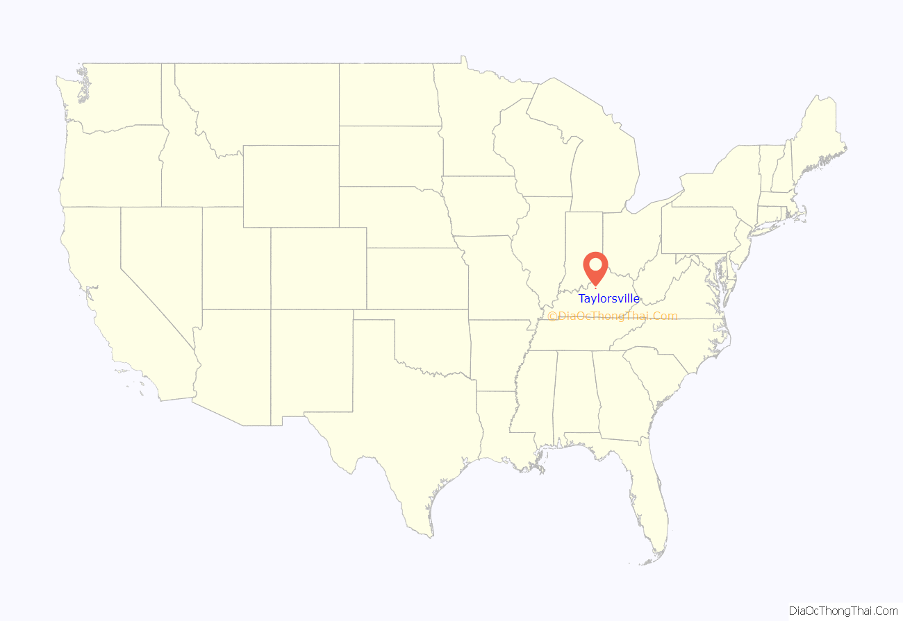
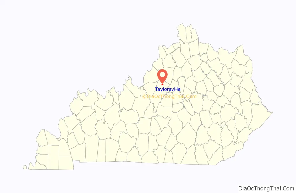
Taylorsville location map. Where is Taylorsville city?
History
Taylorsville was founded in 1799 on the land of Richard Taylor, father of US President Zachary Taylor. Roughly 60 acres (240,000 m) of land was taken by the Shelby County Court on Taylor’s motion, and soon the town was named after Taylor himself. In 1814 the town of Taylorsville was admitted to record by the Spencer County Court.
William Quantrill, the famous Confederate guerrilla raider, was killed by Union troops near the town in 1865, just before the end of the American Civil War.
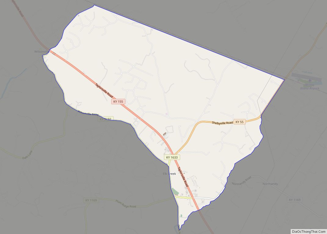
Taylorsville Road Map
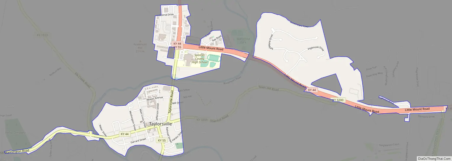
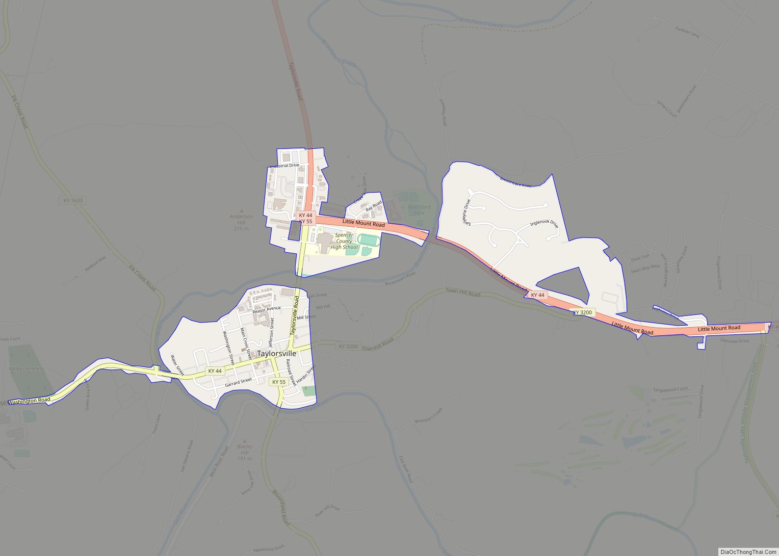
Taylorsville city Satellite Map

Geography
Taylorsville is located at 38°2′5″N 85°20′38″W / 38.03472°N 85.34389°W / 38.03472; -85.34389 (38.034837, -85.343797).
According to the United States Census Bureau, the city has a total area of 0.7 square mile (1.9 km), all land.
See also
Map of Kentucky State and its subdivision:- Adair
- Allen
- Anderson
- Ballard
- Barren
- Bath
- Bell
- Boone
- Bourbon
- Boyd
- Boyle
- Bracken
- Breathitt
- Breckinridge
- Bullitt
- Butler
- Caldwell
- Calloway
- Campbell
- Carlisle
- Carroll
- Carter
- Casey
- Christian
- Clark
- Clay
- Clinton
- Crittenden
- Cumberland
- Daviess
- Edmonson
- Elliott
- Estill
- Fayette
- Fleming
- Floyd
- Franklin
- Fulton
- Gallatin
- Garrard
- Grant
- Graves
- Grayson
- Green
- Greenup
- Hancock
- Hardin
- Harlan
- Harrison
- Hart
- Henderson
- Henry
- Hickman
- Hopkins
- Jackson
- Jefferson
- Jessamine
- Johnson
- Kenton
- Knott
- Knox
- Larue
- Laurel
- Lawrence
- Lee
- Leslie
- Letcher
- Lewis
- Lincoln
- Livingston
- Logan
- Lyon
- Madison
- Magoffin
- Marion
- Marshall
- Martin
- Mason
- McCracken
- McCreary
- McLean
- Meade
- Menifee
- Mercer
- Metcalfe
- Monroe
- Montgomery
- Morgan
- Muhlenberg
- Nelson
- Nicholas
- Ohio
- Oldham
- Owen
- Owsley
- Pendleton
- Perry
- Pike
- Powell
- Pulaski
- Robertson
- Rockcastle
- Rowan
- Russell
- Scott
- Shelby
- Simpson
- Spencer
- Taylor
- Todd
- Trigg
- Trimble
- Union
- Warren
- Washington
- Wayne
- Webster
- Whitley
- Wolfe
- Woodford
- Alabama
- Alaska
- Arizona
- Arkansas
- California
- Colorado
- Connecticut
- Delaware
- District of Columbia
- Florida
- Georgia
- Hawaii
- Idaho
- Illinois
- Indiana
- Iowa
- Kansas
- Kentucky
- Louisiana
- Maine
- Maryland
- Massachusetts
- Michigan
- Minnesota
- Mississippi
- Missouri
- Montana
- Nebraska
- Nevada
- New Hampshire
- New Jersey
- New Mexico
- New York
- North Carolina
- North Dakota
- Ohio
- Oklahoma
- Oregon
- Pennsylvania
- Rhode Island
- South Carolina
- South Dakota
- Tennessee
- Texas
- Utah
- Vermont
- Virginia
- Washington
- West Virginia
- Wisconsin
- Wyoming