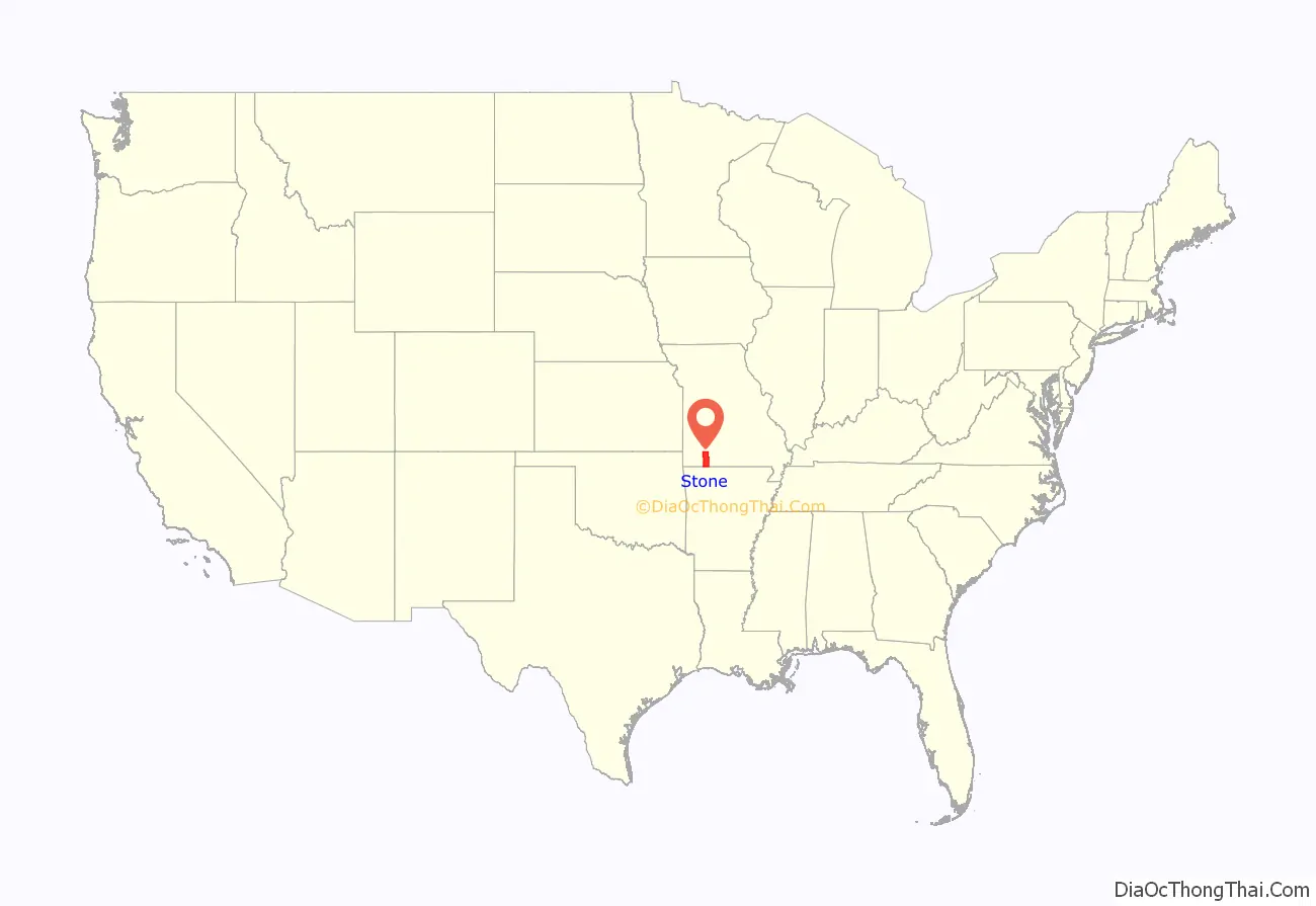
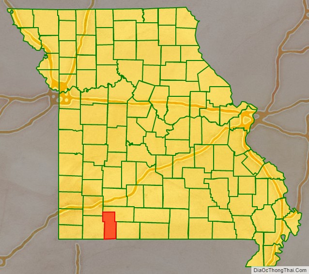
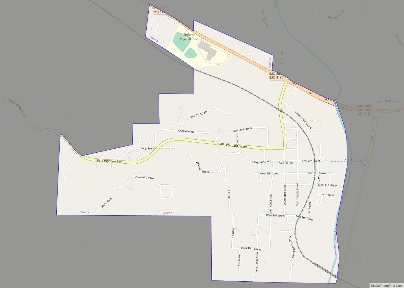
Stone County is located in the southwestern portion of the U.S. state of Missouri. As of the 2020 census, the population was 31,076. Its county seat is Galena.
Stone County is part of the Branson, MO Micropolitan Statistical Area.
| Name: | Stone County |
|---|---|
| FIPS code: | 29-209 |
| State: | Missouri |
| Founded: | February 10, 1851 |
| Named for: | William Stone, English pioneer and an early settler in Maryland |
| Seat: | Galena |
| Largest city: | Kimberling City |
| Total Area: | 511 sq mi (1,320 km²) |
| Land Area: | 464 sq mi (1,200 km²) |
| Total Population: | 31,076 |
| Population Density: | 61/sq mi (23/km²) |
| Time zone: | UTC−6 (Central) |
| Summer Time Zone (DST): | UTC−5 (CDT) |
| Website: | www.stoneco-mo.us |
Stone County location map. Where is Stone County?
History
The county was officially organized on February 10, 1851, and is named after William Stone, an English pioneer and an early settler in Maryland who also served as Taney County Judge.
In 1904, the White River Railway was extended through the rugged terrain of Stone and Taney counties. By then, both counties had had a sundown town policy for years, forbidding African Americans from living there.
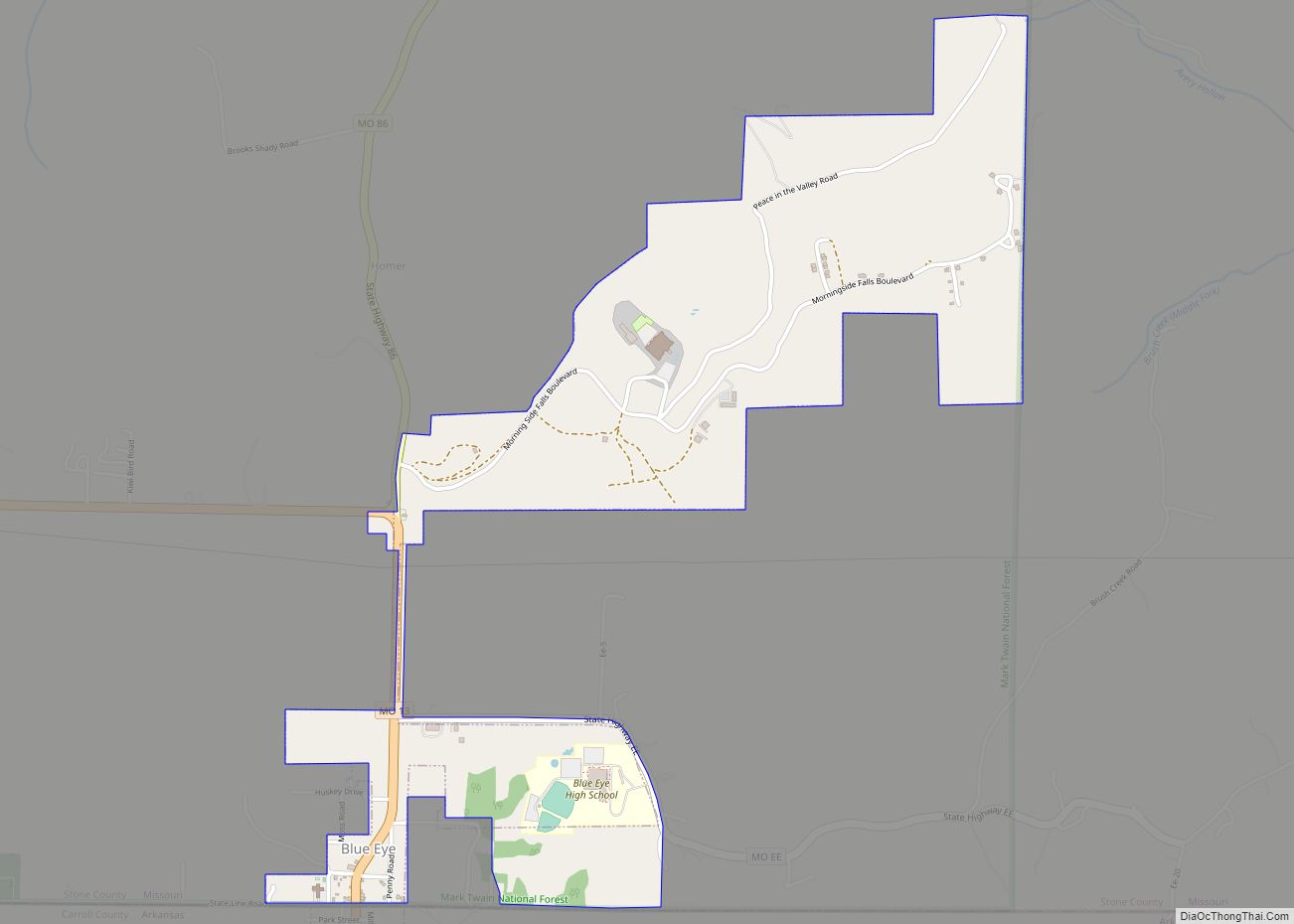
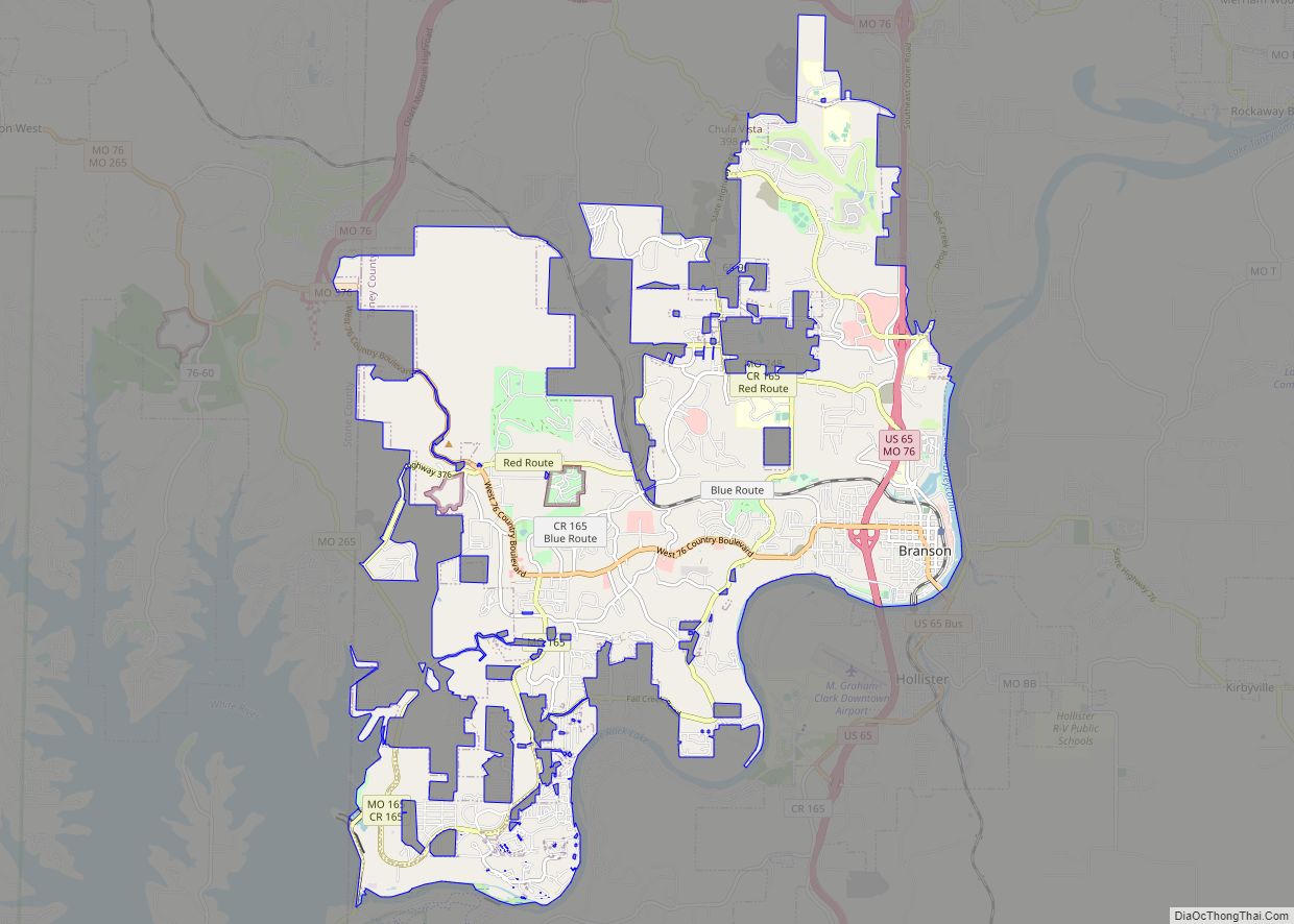
Stone County Road Map
Geography
According to the U.S. Census Bureau, the county has a total area of 511 square miles (1,320 km), of which 464 square miles (1,200 km) is land and 47 square miles (120 km) (9.2%) is water.
Adjacent counties
- Christian County (north)
- Taney County (east)
- Carroll County, Arkansas (south)
- Barry County (west)
- Lawrence County (northwest)
National protected area
- Mark Twain National Forest (part)
