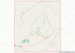
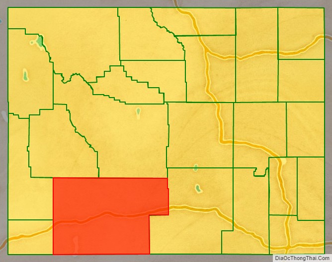
Sweetwater County is a county in southwestern Wyoming, United States. As of the 2020 United States Census, the population was 42,272, making it the fourth-most populous county in Wyoming. Its county seat is Green River. By area, it is the largest county in Wyoming. Its southern boundary line abuts the north lines of the states of Colorado and Utah.
Sweetwater County comprises the Rock Springs, Green River, Wyoming Micropolitan Statistical Area.
| Name: | Sweetwater County |
|---|---|
| FIPS code: | 56-037 |
| State: | Wyoming |
| Founded: | December 17, 1867 |
| Named for: | Sweetwater River |
| Seat: | Green River |
| Largest city: | Rock Springs |
| Total Area: | 10,491 sq mi (27,170 km²) |
| Land Area: | 10,427 sq mi (27,010 km²) |
| Total Population: | 42,272 |
| Population Density: | 4.0/sq mi (1.6/km²) |
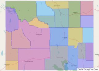
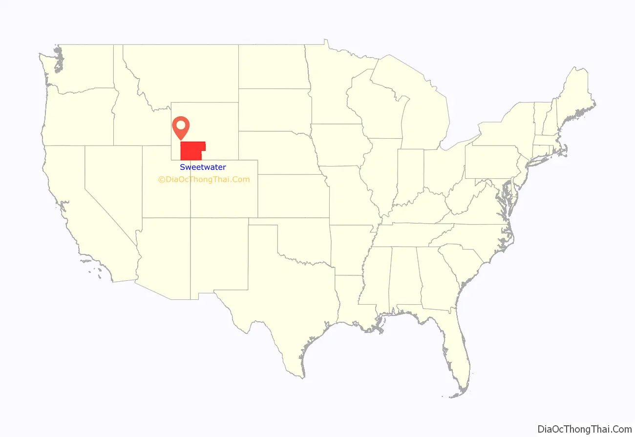
Sweetwater County location map. Where is Sweetwater County?
History
Sweetwater County was created on December 17, 1867, as a county within the Dakota Territory. The county was formed of territory partitioned from Laramie County. The county was originally named Carter County for Judge W.A. Carter of Fort Bridger In 1869, the newly established legislature of the Wyoming Territory renamed the county for the Sweetwater River.
Also in 1869, Uinta County was organized with land ceded by Sweetwater County. Johnson County, originally named Pease County, was formed from parts of Sweetwater and Carbon counties in 1875. In 1884, Sweetwater County lost territory when Fremont County was created. Sweetwater County also lost territory when its boundary with Carbon County was adjusted in 1886. County boundaries were also adjusted in 1909, 1911, and 1951.
South Pass City was the county seat from 1867 until 1873, when the county seat was moved to Green River.
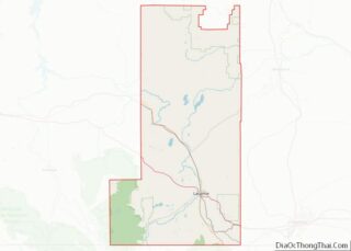
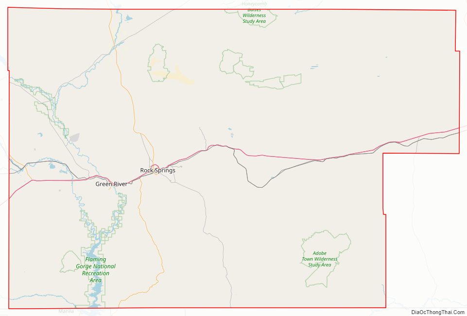
Sweetwater County Road Map
Geography
According to the U.S. Census Bureau, the county has a total area of 10,491 square miles (27,170 km), of which 10,427 square miles (27,010 km) is land and 64 square miles (170 km) (0.6%) is water. The largest county in Wyoming, Sweetwater County is larger than six states and is the eighth-largest county in the United States (not including boroughs and census areas in Alaska). Most of the Great Divide Basin lies within the county, comprising the county’s northeast quadrant.
Adjacent counties
- Fremont County (north)
- Carbon County (east)
- Moffat County, Colorado (south)
- Daggett County, Utah (southwest)
- Summit County, Utah (west-southwest)
- Uinta County (southwest)
- Lincoln County (west)
- Sublette County (northwest)
Major Highways
- Interstate 80
- I-80 BL
- I-80 BL
- U.S. Highway 30
- U.S. Highway 191
- Wyoming Highway 28
- Wyoming Highway 370
- Wyoming Highway 371
- Wyoming Highway 372
- Wyoming Highway 414
- Wyoming Highway 430
- Wyoming Highway 530
- Wyoming Highway 789
National protected areas
- Ashley National Forest (part)
- Flaming Gorge National Recreation Area (part)
- Seedskadee National Wildlife Refuge
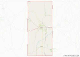
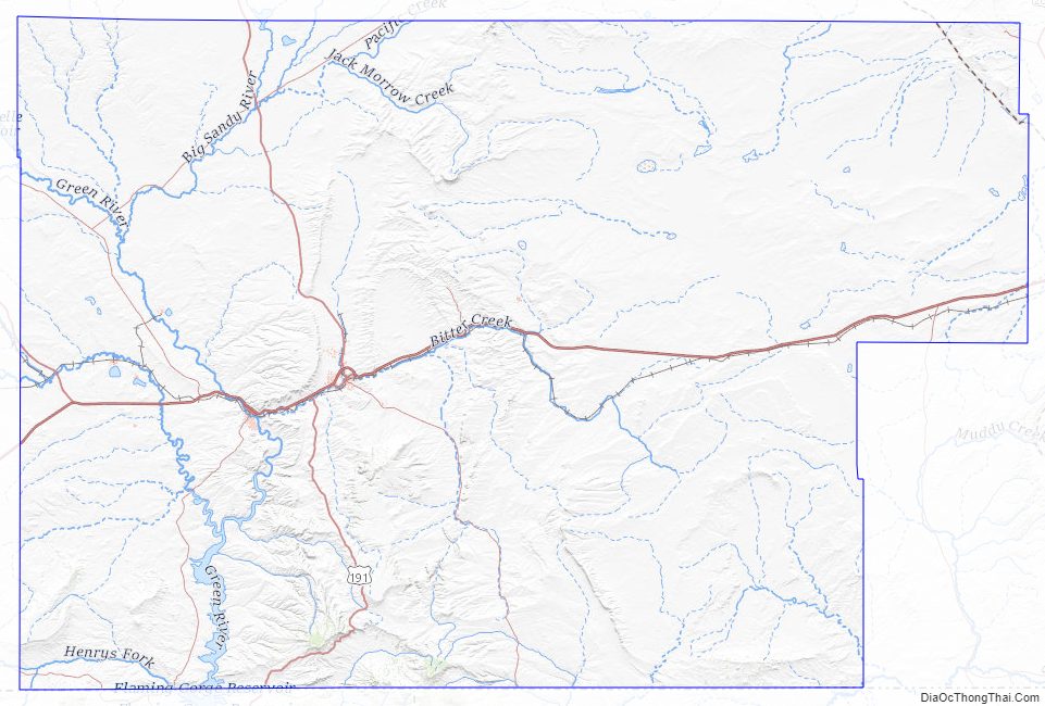
Sweetwater County Topographic Map
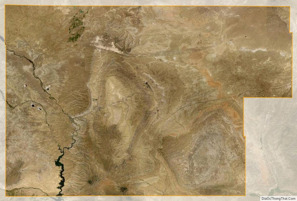
Sweetwater County Satellite Map
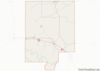
Sweetwater County Outline Map